Braes of Fetterletter

Wood, Forest in Aberdeenshire

Scotland

Braes of Fetterletter

Stubble field at Backhill Looking west over a stubble field at Backhill.
Stubble field at Backhill Credit: Scott Cormie

Braes of Fetterletter is a picturesque wood located in Aberdeenshire, Scotland. Stretching over an area of approximately 500 acres, it is a haven of natural beauty and tranquility. The wood is situated near the village of Fetterletter and is easily accessible by road.

The landscape of Braes of Fetterletter is characterized by its rich variety of trees and plant species. The wood is predominantly made up of native species such as oak, birch, and pine, which create a dense canopy overhead. The forest floor is covered in a thick layer of moss, ferns, and wildflowers, providing a vibrant and colorful carpet.

The wood is also home to a diverse range of wildlife. Visitors may encounter various bird species including woodpeckers, owls, and finches, making it a popular spot for birdwatching. Squirrels and rabbits can often be spotted scurrying through the undergrowth, while deer occasionally make an appearance in the early morning or evening.

The wood offers a network of well-maintained trails, allowing visitors to explore its natural wonders. These paths wind through the trees, offering breathtaking views of the surrounding countryside. Along the way, there are several picnic spots and resting areas, providing the perfect opportunity to relax and soak in the peaceful atmosphere.

Braes of Fetterletter is not only a place of natural beauty but also of historical significance. The wood is believed to have been a hiding place for local rebels during the Jacobite uprising in the 18th century. Today, remnants of old stone walls and structures can still be found, adding to its charm and allure.

In conclusion, Braes of Fetterletter is a captivating wood in Aberdeenshire that offers a serene and enchanting experience for nature lovers and history enthusiasts alike.

If you have any feedback on the listing, please let us know in the comments section below.

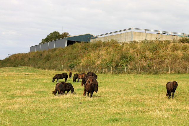
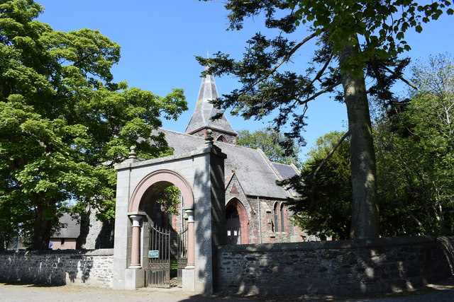
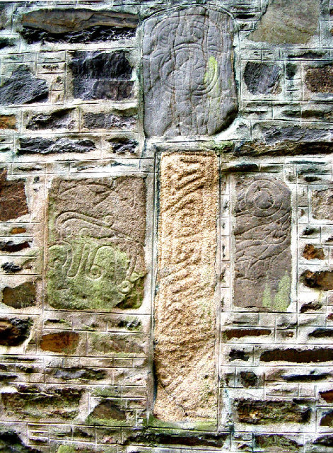
Braes of Fetterletter Images

Images are sourced within 2km of 57.433522/-2.3348371 or Grid Reference NJ7938. Thanks to Geograph Open Source API. All images are credited.

Stubble field at Backhill Looking west over a stubble field at Backhill.
Stubble field at Backhill
Looking west over a stubble field at Backhill.
Rows of bales Bales arranged in rows west of Banks Farm.
Rows of bales
Bales arranged in rows west of Banks Farm.
Ardlogie Farmland Farmland across the Ythan valley near Craigie Dot and East Ardlogie.
Ardlogie Farmland
Farmland across the Ythan valley near Craigie Dot and East Ardlogie.
Ythan passes Mill Water The Ythan flowing downstream; the Mill Water joins it just by the second bend of the meander.
Ythan passes Mill Water
The Ythan flowing downstream; the Mill Water joins it just by the second bend of the meander.
River Ythan The Ythan flowing downstream to make a turn north by St. John's well.
River Ythan
The Ythan flowing downstream to make a turn north by St. John's well.
St. John's Ponies Ponies by the farm of St.John's Well.
St. John's Ponies
Ponies by the farm of St.John's Well.
All Saints The B listed Episcopal Church of All Saints at Woodhead.
All Saints
The B listed Episcopal Church of All Saints at Woodhead.
Woodhead Hall The village hall and notice board at Woodhead with the spire of All Saints church just visible behind.
Woodhead Hall
The village hall and notice board at Woodhead with the spire of All Saints church just visible behind.
Above the Braes Cattle grazing in a field by Ivy Lea above the Braes of Fetterletter.
Above the Braes
Cattle grazing in a field by Ivy Lea above the Braes of Fetterletter.
Gateway to All Saints Episcopal Church, Woodhead The gateway arch with its pink marble columns apparently came from Kingsford House near Alford, some 30 km to the southwest.
Gateway to All Saints Episcopal Church, Woodhead
The gateway arch with its pink marble columns apparently came from Kingsford House near Alford, some 30 km to the southwest.
All Saints Episcopal Church, Woodhead Built 1848 with the spire added in 1870 and B-listed (LB9624): <span class="nowrap"><a title="http://portal.historicenvironment.scot/designation/LB9624" rel="nofollow ugc noopener" href="http://portal.historicenvironment.scot/designation/LB9624">Link</a><img style="margin-left:2px;" alt="External link" title="External link - shift click to open in new window" src="https://s1.geograph.org.uk/img/external.png" width="10" height="10"/></span> .  The 'blue rag' masonry with red sandstone dressings is utterly different to typical Aberdeenshire granite.
All Saints Episcopal Church, Woodhead
Built 1848 with the spire added in 1870 and B-listed (LB9624): LinkExternal link . The 'blue rag' masonry with red sandstone dressings is utterly different to typical Aberdeenshire granite.
Village junction The B9005 to Ellon branches left and the single track minor road to the nicely named Fetterletter to the right.
Village junction
The B9005 to Ellon branches left and the single track minor road to the nicely named Fetterletter to the right.
Aberdeenshire wind turbines View south from Woodhead of a cluster of wind turbines on the Hill of Blairfowl  Their scale can be gauged from the fact that they are nearly 1.5 km away from the photographer.  The deep valley of the River Ythan cam just be discerned on the mid left-hand side of the photo.
Aberdeenshire wind turbines
View south from Woodhead of a cluster of wind turbines on the Hill of Blairfowl Their scale can be gauged from the fact that they are nearly 1.5 km away from the photographer. The deep valley of the River Ythan cam just be discerned on the mid left-hand side of the photo.
Restored mercat cross, Woodhead Woodhead is now a sleepy commuter/retirement village but in the 17th Century was a burgh of barony (see: <span class="nowrap"><a title="https://en.wikipedia.org/wiki/Burgh_of_barony" rel="nofollow ugc noopener" href="https://en.wikipedia.org/wiki/Burgh_of_barony">Link</a><img style="margin-left:2px;" alt="External link" title="External link - shift click to open in new window" src="https://s1.geograph.org.uk/img/external.png" width="10" height="10"/></span> ) and the centre of rural life in the area with a market and a tolbooth.  The restored mercat cross (dated 1846) recalls its former importance although it's not clear how much is original.
Restored mercat cross, Woodhead
Woodhead is now a sleepy commuter/retirement village but in the 17th Century was a burgh of barony (see: LinkExternal link ) and the centre of rural life in the area with a market and a tolbooth. The restored mercat cross (dated 1846) recalls its former importance although it's not clear how much is original.
Woodhead: village approach The B9005 runs through the village and eventually reaches Ellon.
Woodhead: village approach
The B9005 runs through the village and eventually reaches Ellon.
Pig farming by Banks Farm.
Road to Fetterletter
B9005 at Fetterletter Looking south west
B9005 at Fetterletter
Looking south west
Show me another place!

Braes of Fetterletter is located at Grid Ref: NJ7938 (Lat: 57.433522, Lng: -2.3348371)

Unitary Authority: Aberdeenshire

Police Authority: North East

What 3 Words

///risking.broth.stops. Near Rothienorman, Aberdeenshire

Related Wikis

Have you been to Braes of Fetterletter?

Leave your review of Braes of Fetterletter below (or comments, questions and feedback).