Biglaw Plantation

Wood, Forest in Roxburghshire

Scotland

Biglaw Plantation

Cheviot feral goat kid on Blackbrough Hill A loose herd of approximately 30 Cheviot feral goats including 10 kids were encountered from Blackbrough Hill to Heatherhope Reservoir, this being a shot of one of the more obliging youngsters.

This photograph was taken during the Coronavirus (COVID-19) pandemic of 2020/21/22.
Cheviot feral goat kid on Blackbrough Hill Credit: James T M Towill

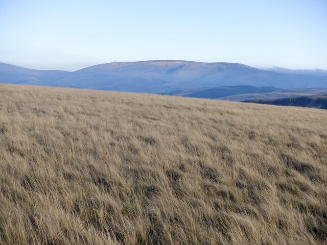
Biglaw Plantation is a sprawling woodland located in the county of Roxburghshire, Scotland. Covering an expansive area, this forested landscape is nestled in the beautiful countryside, offering visitors a serene and picturesque setting. The plantation is situated near the town of Wood, making it easily accessible for nature enthusiasts and outdoor adventurers.

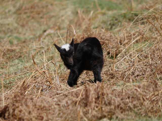
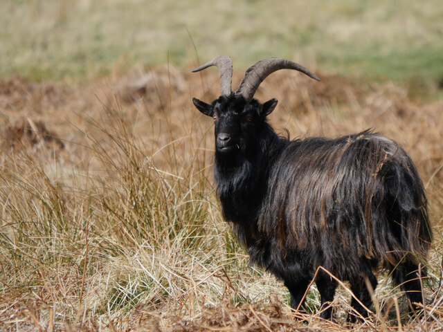
The woodland of Biglaw Plantation is characterized by a diverse range of tree species, including oak, birch, and pine. The forest floor is adorned with a rich carpet of moss and ferns, creating a lush and vibrant undergrowth. This diverse ecosystem supports a variety of wildlife, such as deer, squirrels, and numerous bird species.

Visitors to Biglaw Plantation can engage in a range of outdoor activities. The forest boasts well-maintained walking trails, allowing visitors to explore the enchanting woodland at their own pace. The tranquil environment also makes it an ideal spot for birdwatching and nature photography.

Historically, Biglaw Plantation played a crucial role in the timber industry, supplying wood for construction and fuel. Today, it serves as a recreational space for the local community and tourists alike. The forest is managed by the local authorities, who ensure its preservation and conservation.

Thanks to its scenic beauty and natural charm, Biglaw Plantation offers a peaceful escape from the hustle and bustle of everyday life. Whether one seeks a quiet walk amidst nature or wishes to immerse themselves in the beauty of the Scottish countryside, this woodland retreat is a must-visit destination in Roxburghshire.

If you have any feedback on the listing, please let us know in the comments section below.

Biglaw Plantation Images

Images are sourced within 2km of 55.451837/-2.325161 or Grid Reference NT7917. Thanks to Geograph Open Source API. All images are credited.

Cheviot feral goat kid on Blackbrough Hill A loose herd of approximately 30 Cheviot feral goats including 10 kids were encountered from Blackbrough Hill to Heatherhope Reservoir, this being a shot of one of the more obliging youngsters.

This photograph was taken during the Coronavirus (COVID-19) pandemic of 2020/21/22.
Cheviot feral goat kid on Blackbrough Hill
A loose herd of approximately 30 Cheviot feral goats including 10 kids were encountered from Blackbrough Hill to Heatherhope Reservoir, this being a shot of one of the more obliging youngsters. This photograph was taken during the Coronavirus (COVID-19) pandemic of 2020/21/22.
Cheviot feral goat by the Heatherhope Burn A loose herd of approximately 30 Cheviot feral goats including 10 kids were encountered from Blackbrough Hill to Heatherhope Reservoir, this being a shot of one of the more obliging billy goats.

This photograph was taken during the Coronavirus (COVID-19) pandemic of 2020/21/22.
Cheviot feral goat by the Heatherhope Burn
A loose herd of approximately 30 Cheviot feral goats including 10 kids were encountered from Blackbrough Hill to Heatherhope Reservoir, this being a shot of one of the more obliging billy goats. This photograph was taken during the Coronavirus (COVID-19) pandemic of 2020/21/22.
View to The Schill The border ridge beyond See Few as seen from Windy Law. Clear here but to the south the ridge was holding back a lot of cloud formed by a south easterly. It was astonishingly warm.
View to The Schill
The border ridge beyond See Few as seen from Windy Law. Clear here but to the south the ridge was holding back a lot of cloud formed by a south easterly. It was astonishingly warm.
The Street Climb over Craik Moor.
The Street
Climb over Craik Moor.
Berry Hills Craik Moor, Cheviot Hills.
Berry Hills
Craik Moor, Cheviot Hills.
Craik Moor The Street follows a fence dividing grass from heather.
Craik Moor
The Street follows a fence dividing grass from heather.
Cairn, Berry Hills Some stones from the antiquity have been used to form a more recent cairn.
Cairn, Berry Hills
Some stones from the antiquity have been used to form a more recent cairn.
The Street
The Street
Head of Cribs Hope Scree lined deep defile off Craik Moor.
Head of Cribs Hope
Scree lined deep defile off Craik Moor.
Blackbrough Hill A steep flank of a spur which carries a very striking hill fort.
Blackbrough Hill
A steep flank of a spur which carries a very striking hill fort.
Cloud over the Cheviot Hills The main ridge is holding back a mass of fog and cloud on a southeasterly. There were similar conditions at the time in the Lammermuir Hills. It was also very warm. 
View over the shoulder of Blackbrough Hill from Berry Hills.
Cloud over the Cheviot Hills
The main ridge is holding back a mass of fog and cloud on a southeasterly. There were similar conditions at the time in the Lammermuir Hills. It was also very warm. View over the shoulder of Blackbrough Hill from Berry Hills.
The Street, Craik Moor
Blackbrough Hill The neck between the fort and Craik Moor - the only side not defended by steep slopes.
Blackbrough Hill
The neck between the fort and Craik Moor - the only side not defended by steep slopes.
A fence on Craik Moor View to The Cheviot.
A fence on Craik Moor
View to The Cheviot.
Track on Craik Moor Linking the summit easily to The Street.
Track on Craik Moor
Linking the summit easily to The Street.
Grass on Craik Moor Quite a lot of pheasants here, possibly fewer later on as gunfire was heard about an hour later. The Cheviot is in the background.
Grass on Craik Moor
Quite a lot of pheasants here, possibly fewer later on as gunfire was heard about an hour later. The Cheviot is in the background.
Fence on Craik Moor In the background a mass of cloud has formed on the English side of the ridge, where moist and very warm air has been pushed up on a southeasterly.
Fence on Craik Moor
In the background a mass of cloud has formed on the English side of the ridge, where moist and very warm air has been pushed up on a southeasterly.
Show me another place!

Biglaw Plantation is located at Grid Ref: NT7917 (Lat: 55.451837, Lng: -2.325161)

Unitary Authority: The Scottish Borders

Police Authority: The Lothians and Scottish Borders

What 3 Words

///displays.carbon.idealist. Near Jedburgh, Scottish Borders

Related Wikis

Hownam

Hownam or Hounam is a small village and parish situated 8 miles east of Jedburgh in the Scottish Borders area of Scotland, near the Anglo-Scottish border...

Mowhaugh

Mowhaugh is a hamlet and farm steading near the Calroust Burn and the Bowmont Water, near Morebattle, in the Scottish Borders area of Scotland, and in...

Pennymuir Roman camps

The Pennymuir Roman camps are situated southeast of Jedburgh in the Scottish Borders area of Scotland, near the Anglo-Scottish border, in the former Roxburghshire...

Windy Gyle

Windy Gyle is a mountain in the Cheviot Hills range, on the border between England and Scotland. Like the other hills in the area, it is rounded and grass...

Nearby Amenities

Located within 500m of 55.451837,-2.325161
Power: pole
Lat/Long: 55.4507084/-2.3323453
Power: pole
Lat/Long: 55.4507318/-2.3313281
Power: pole
Lat/Long: 55.4503784/-2.330172
Power: pole
Lat/Long: 55.4500586/-2.3290931
Power: pole
Lat/Long: 55.4497607/-2.3280399
Power: pole
Lat/Long: 55.4494394/-2.3269533
Power: pole
Lat/Long: 55.4491327/-2.3259053
Power: pole
Lat/Long: 55.4488056/-2.324798
Power: pole
Lat/Long: 55.4484756/-2.323732
Power: pole
Lat/Long: 55.4481601/-2.3226016
The data included in this document is from www.openstreetmap.org. The data is made available under ODbL.

Have you been to Biglaw Plantation?

Leave your review of Biglaw Plantation below (or comments, questions and feedback).