Blakeshouse Wood

Wood, Forest in Aberdeenshire

Scotland

Blakeshouse Wood

Minor road near to a dwelling named Kisumu Looking south-eastward. There is a city in Western Kenya that shares the name Kisumu. I wonder if there is any connection.
Minor road near to a dwelling named Kisumu Credit: Peter Wood

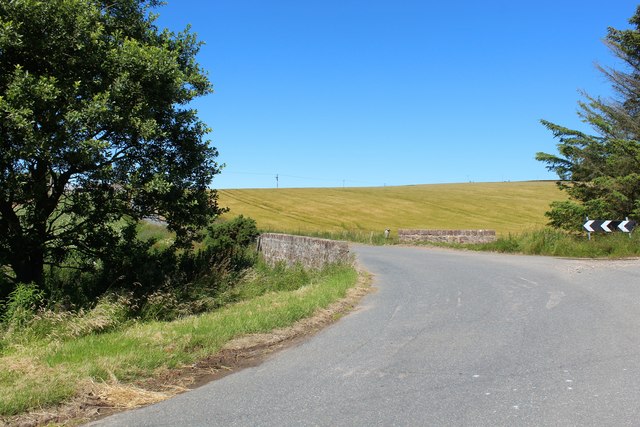
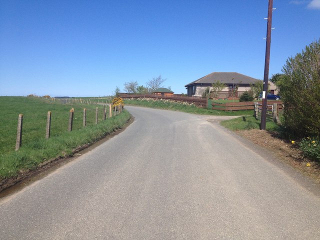
Blakeshouse Wood is a picturesque forest located in Aberdeenshire, Scotland. Situated a few miles outside the town of Inverurie, this woodland covers an area of approximately 50 acres. The forest is part of the larger Blakeshouse Estate, which is known for its stunning natural beauty and rich biodiversity.

Blakeshouse Wood offers visitors a tranquil retreat from the hustle and bustle of daily life. It is a popular destination for nature enthusiasts, hikers, and birdwatchers alike. The forest is home to a diverse range of flora and fauna, including majestic oak and beech trees, as well as various species of wildflowers and fungi. Rare birds such as the Scottish crossbill and crested tit can also be spotted in the area.

There are several well-maintained paths throughout the wood, making it easily accessible for visitors of all ages and abilities. These trails offer breathtaking views of the surrounding countryside, with glimpses of the rolling hills and nearby River Don. Additionally, there are designated picnic areas and benches scattered throughout the forest, providing the perfect spot for a leisurely lunch or a moment of relaxation.

Blakeshouse Wood is not only a haven for wildlife but also serves as an important conservation area. Efforts have been made to preserve the natural habitat and protect the delicate ecosystem present within the forest. As a result, visitors are encouraged to respect the environment by adhering to designated pathways and refraining from littering.

Overall, Blakeshouse Wood is a hidden gem in Aberdeenshire, offering visitors a chance to reconnect with nature and enjoy the beauty of the Scottish countryside.

If you have any feedback on the listing, please let us know in the comments section below.

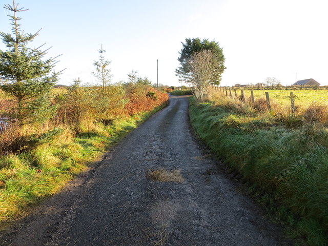
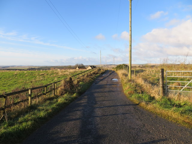
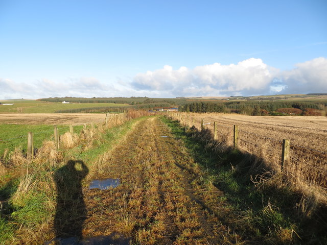
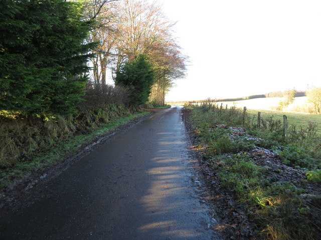
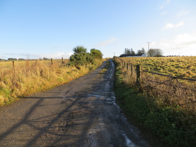
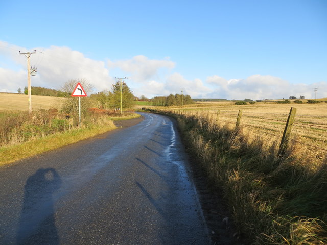
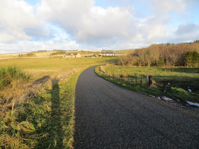
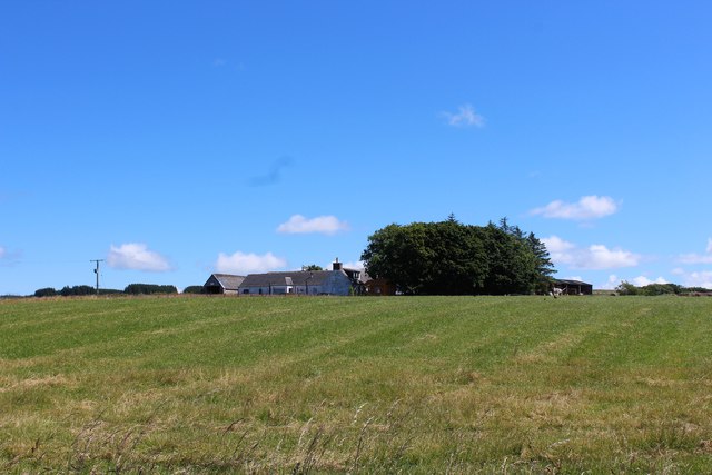
Blakeshouse Wood Images

Images are sourced within 2km of 57.60713/-2.3536193 or Grid Reference NJ7857. Thanks to Geograph Open Source API. All images are credited.

Minor road near to a dwelling named Kisumu Looking south-eastward. There is a city in Western Kenya that shares the name Kisumu. I wonder if there is any connection.
Minor road near to a dwelling named Kisumu
Looking south-eastward. There is a city in Western Kenya that shares the name Kisumu. I wonder if there is any connection.
Minor road near to Shalloch Looking north-westward.
Minor road near to Shalloch
Looking north-westward.
Newton of Cummerton A small farm, possibly no longer active.
Newton of Cummerton
A small farm, possibly no longer active.
Minor road approaching Auchlinn Cottages Looking eastward. The field on the left seems to be used for manure storage. Not the best downwind location for a cottage.
Minor road approaching Auchlinn Cottages
Looking eastward. The field on the left seems to be used for manure storage. Not the best downwind location for a cottage.
Minor road at Walkerhill Croft Looking south-eastward.
Minor road at Walkerhill Croft
Looking south-eastward.
Track is signed as leading to Easter Blakeshouse and Cearas Wood Looking north-eastward. The Aberdeenshire mid-day sun in November casts a long shadow.
Track is signed as leading to Easter Blakeshouse and Cearas Wood
Looking north-eastward. The Aberdeenshire mid-day sun in November casts a long shadow.
Minor road heading towards Easter Blakeshouse Croft Looking north-westward.
Minor road heading towards Easter Blakeshouse Croft
Looking north-westward.
Minor road signed to Walkerhill Looking north-westward. A private house that used to be a church is over the hedge on the left. An 1870 map has it as a Congregational Chapel.
Minor road signed to Walkerhill
Looking north-westward. A private house that used to be a church is over the hedge on the left. An 1870 map has it as a Congregational Chapel.
Track leading to Upper Crudie Looking south-eastward.
Track leading to Upper Crudie
Looking south-eastward.
Road heading towards Nether Clochforbie Looking north-eastward.
Road heading towards Nether Clochforbie
Looking north-eastward.
Minor road that leads to Netherbrae Looking north-eastward from its junction with the A98.
Minor road that leads to Netherbrae
Looking north-eastward from its junction with the A98.
Cauldwells Farm The roadside farm of Cauldwells with a view south.
Cauldwells Farm
The roadside farm of Cauldwells with a view south.
Smiddy Carriage An interesting renovation on what appears to be a GNSR railway carriage at Cauldwells Smithy. The road at the junction is the B9105.
Smiddy Carriage
An interesting renovation on what appears to be a GNSR railway carriage at Cauldwells Smithy. The road at the junction is the B9105.
Upper Crudie The farmstead of Upper Crudie, appropriately enough on its small hill.
Upper Crudie
The farmstead of Upper Crudie, appropriately enough on its small hill.
Nether Clochforbie Potato Field A potato crop in flower at Nether Clochforbie Farm.
Nether Clochforbie Potato Field
A potato crop in flower at Nether Clochforbie Farm.
Clochforbie Bridge A road bridge by Clochforbie on a sharp bend crossing the Burn of Fisherie.
Clochforbie Bridge
A road bridge by Clochforbie on a sharp bend crossing the Burn of Fisherie.
Cotwells Croft A sad and neglected farm building near the roadside at Coldwells.
Cotwells Croft
A sad and neglected farm building near the roadside at Coldwells.
Minor road near Crudie
Show me another place!

Blakeshouse Wood is located at Grid Ref: NJ7857 (Lat: 57.60713, Lng: -2.3536193)

Unitary Authority: Aberdeenshire

Police Authority: North East

What 3 Words

///logs.perplexed.efficient. Near New Pitsligo, Aberdeenshire

Nearby Locations

Blakeshouse Wood

Related Wikis

Crudie

Crudie is a settlement in Aberdeenshire, Scotland. It is situated on the A98. It has a primary school and a war memorial. == References ==

Netherbrae

Netherbrae is an area of farmland and small crofts in Aberdeenshire, Scotland. It is approximately 8 miles (13 km) north of Turriff and 9 miles (14 km...
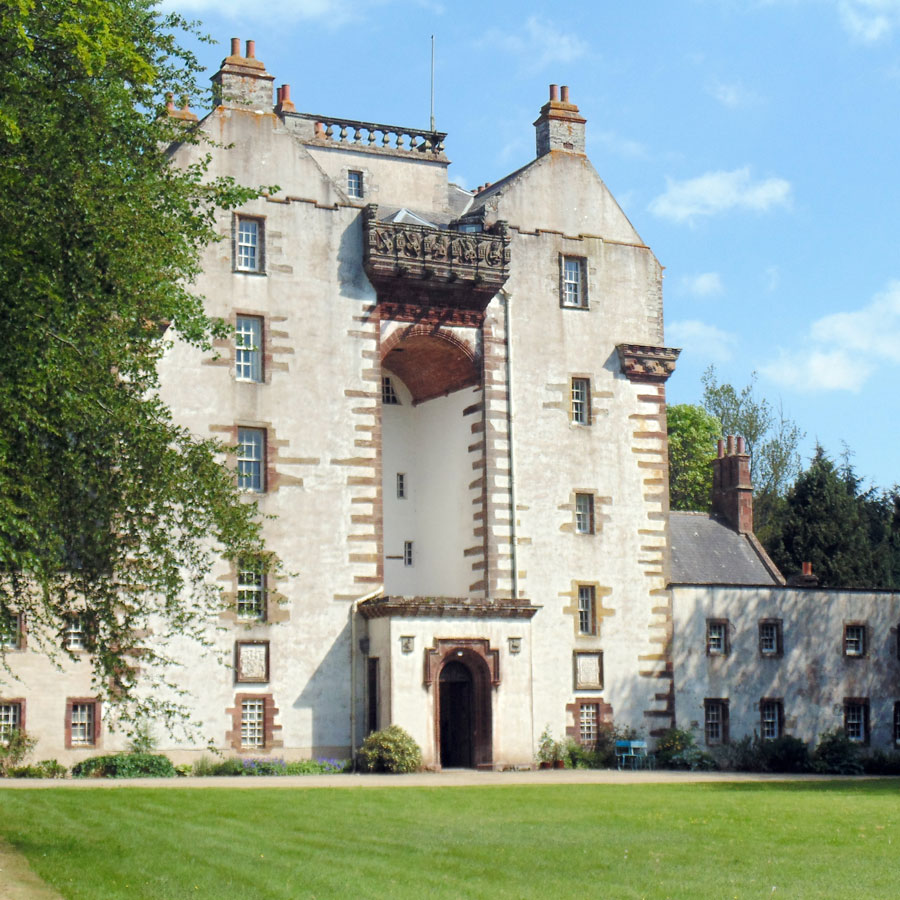
Craigston Castle

Craigston Castle is a 17th-century country house located about 4 miles (6.4 kilometres) north-east of Turriff, Aberdeenshire, Scotland, and is an historic...

New Byth

New Byth is a small inland planned village in the Banff and Buchan committee area of Aberdeenshire, Scotland, that lies a few miles northeast of Cuminestown...

Nearby Amenities

Located within 500m of 57.60713,-2.3536193
Bus Stop
Shelter: yes
Lat/Long: 57.6068219/-2.3452466
Power: pole
Lat/Long: 57.6035152/-2.3582314
Power: pole
Lat/Long: 57.6039044/-2.357282
Power: pole
Lat/Long: 57.6042726/-2.3563465
Power: pole
Lat/Long: 57.6046506/-2.3554133
Power: pole
Lat/Long: 57.6047738/-2.3550977
Power: pole
Lat/Long: 57.6050051/-2.3545034
Power: pole
Lat/Long: 57.6054055/-2.3535192
Power: pole
Lat/Long: 57.6057649/-2.3526185
Power: pole
Lat/Long: 57.6061492/-2.3516528
Power: pole
Lat/Long: 57.6065335/-2.3506965
Power: pole
Lat/Long: 57.6069215/-2.3497308
Power: pole
Lat/Long: 57.6072796/-2.3488208
Material: wood
Power: pole
Lat/Long: 57.6076316/-2.3479167
Material: wood
Power: pole
Lat/Long: 57.6077746/-2.3478006
Power: pole
Lat/Long: 57.6083018/-2.3473828
Power: pole
Lat/Long: 57.6089323/-2.3468791
Power: pole
Lat/Long: 57.6063967/-2.3495312
Power: pole
Lat/Long: 57.6059278/-2.3493547
Power: pole
Lat/Long: 57.6058669/-2.3493338
Power: pole
Lat/Long: 57.6052812/-2.3491389
Power: pole
Lat/Long: 57.6046867/-2.3489392
Power: pole
Lat/Long: 57.6041221/-2.3487512
Power: pole
Lat/Long: 57.6035612/-2.3485632
Power: pole
Lat/Long: 57.6058343/-2.3483131
Power: pole
Lat/Long: 57.6057969/-2.3473113
Power: pole
Lat/Long: 57.6057561/-2.3462735
The data included in this document is from www.openstreetmap.org. The data is made available under ODbL.

Have you been to Blakeshouse Wood?

Leave your review of Blakeshouse Wood below (or comments, questions and feedback).