Foggy Moss
Wood, Forest in Kincardineshire
Scotland
Foggy Moss
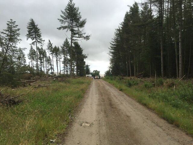
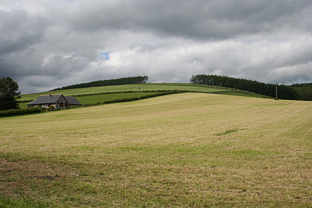
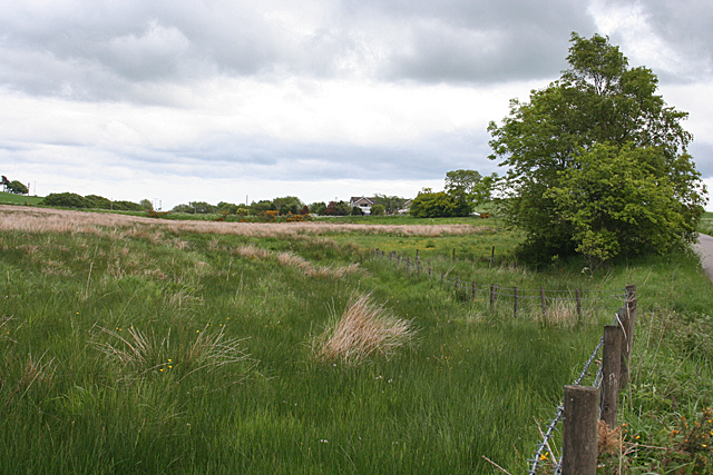
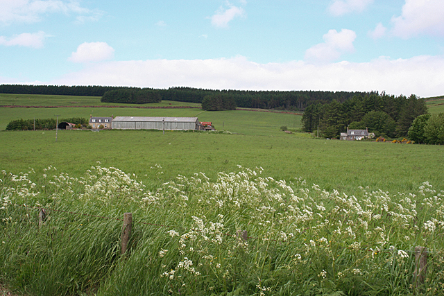
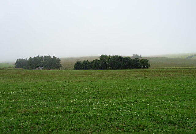
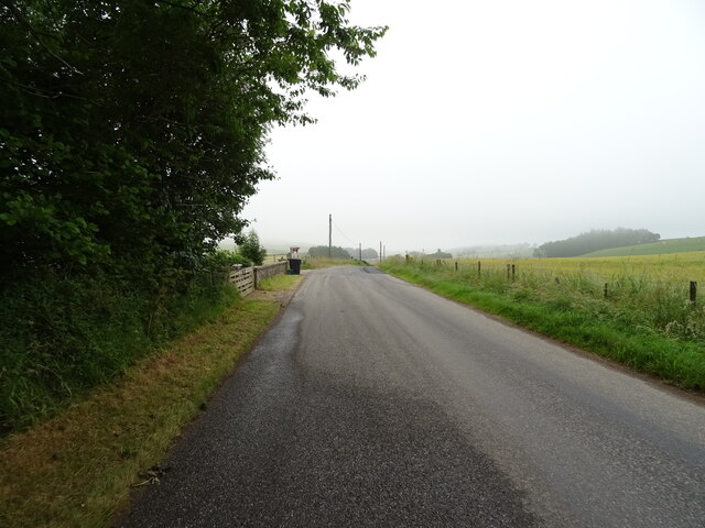
Foggy Moss, located in Kincardineshire, Scotland, is a picturesque woodland area known for its enchanting atmosphere and dense vegetation. Covering an extensive area, it is a popular destination for nature enthusiasts and those seeking tranquility in the heart of nature. The name "Foggy Moss" aptly describes the mist-covered landscape that often engulfs the forest, creating an ethereal ambiance.
The forest is characterized by a diverse range of plant species, including ancient oaks, towering pines, and delicate ferns, which thrive in the damp and shaded environment. The forest floor is blanketed with a thick layer of moss, which gives the woodland its unique name. The moss provides a soft carpet underfoot and adds to the mystical allure of Foggy Moss.
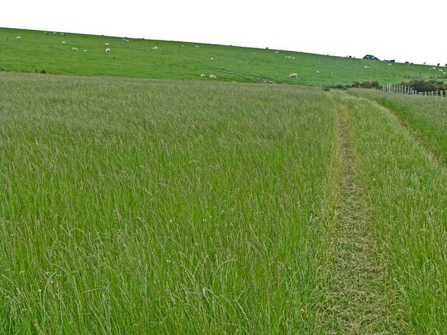
Tranquil streams meander through the forest, adding to the serenity of the surroundings. These streams are often home to various species of aquatic life, including small fish and amphibians. The presence of these water bodies also attracts an array of bird species, making Foggy Moss a haven for birdwatchers.
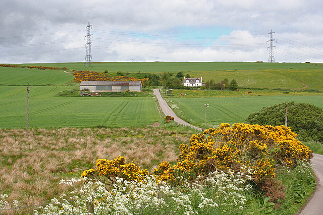
Visitors to Foggy Moss can explore the forest through a network of well-maintained trails that wind their way through the woodland. These paths offer opportunities for leisurely walks, hikes, and even picnics in designated areas. Along the trails, visitors may stumble upon hidden clearings, revealing stunning vistas of the surrounding countryside.
Given its natural beauty, Foggy Moss has also become a popular spot for photographers and artists, who are drawn to the captivating scenes offered by the forest's ever-changing colors and textures. Overall, Foggy Moss is a haven for nature lovers, offering a peaceful retreat and a chance to immerse oneself in the raw beauty of the Scottish countryside.
If you have any feedback on the listing, please let us know in the comments section below.
Foggy Moss Images
Images are sourced within 2km of 56.964453/-2.3555961 or Grid Reference NO7885. Thanks to Geograph Open Source API. All images are credited.


Foggy Moss is located at Grid Ref: NO7885 (Lat: 56.964453, Lng: -2.3555961)
Unitary Authority: Aberdeenshire
Police Authority: North East
What 3 Words
///president.contain.blows. Near Stonehaven, Aberdeenshire
Nearby Locations
Related Wikis
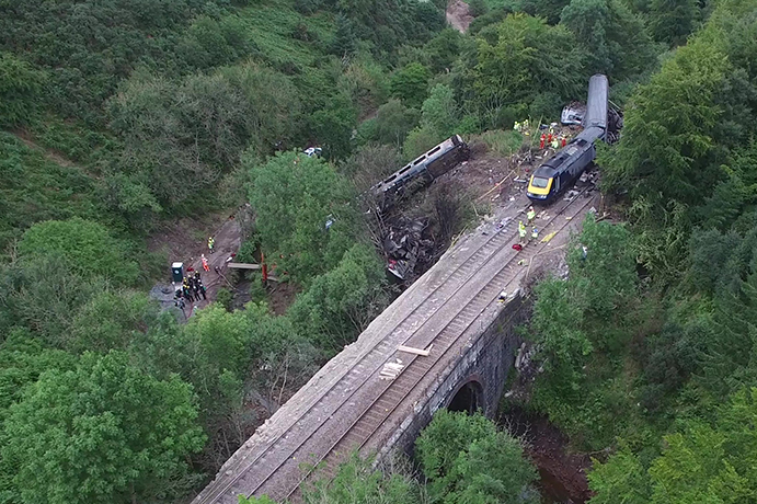
Stonehaven derailment
The Stonehaven derailment was a fatal railway accident that occurred at 09:38 BST on 12 August 2020, when a passenger train returning to Aberdeen hit a...

Fetteresso Forest
The Fetteresso Forest is a woodland that is principally coniferous situated in the Mounth range of the Grampian Mountains in Aberdeenshire, Scotland. The...
Bogjurgan Hill
Bogjurgan Hill is an elevated landform at the southern verge of the Fetteresso Forest in Aberdeenshire, Scotland. Its top is at an elevation of 299 metres...

Carmont railway station
Carmont railway station, on the Aberdeen Railway, served the rural area of Carmont in Aberdeenshire, Scotland from 1855 to 1964. == History == The station...
Nearby Amenities
Located within 500m of 56.964453,-2.3555961Have you been to Foggy Moss?
Leave your review of Foggy Moss below (or comments, questions and feedback).