Black Knowe Covert
Wood, Forest in Roxburghshire
Scotland
Black Knowe Covert
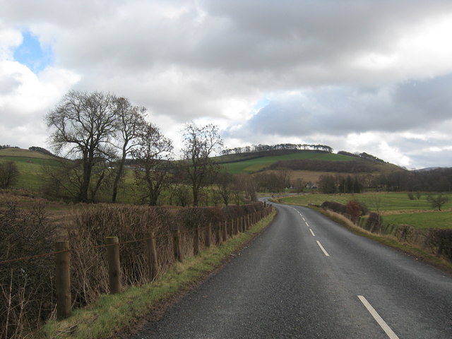
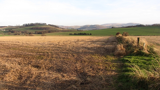
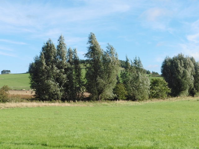
Black Knowe Covert is a picturesque woodland located in Roxburghshire, Scotland. With an area of approximately 50 hectares, this enchanting forest is a haven of natural beauty and tranquility. The covert is situated on the slopes of Black Knowe Hill, offering visitors breathtaking panoramic views of the surrounding countryside.
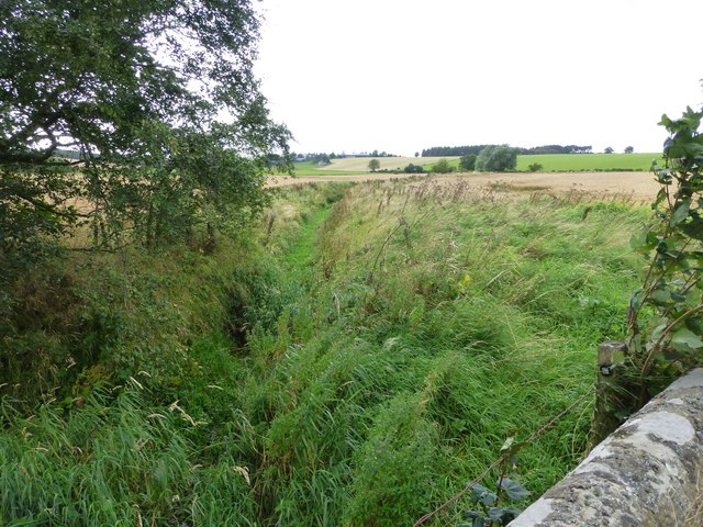
The woodland consists primarily of native tree species, including oak, birch, and rowan. These majestic trees provide a dense canopy, creating a shaded and cool environment even during the warm summer months. The forest floor is adorned with a lush carpet of ferns, wildflowers, and mosses, adding to the area's charm and biodiversity.
Black Knowe Covert is home to a diverse range of wildlife, making it a popular destination for nature enthusiasts and birdwatchers. Visitors may catch a glimpse of red squirrels, foxes, and roe deer, as well as various species of birds such as the great spotted woodpecker and tawny owl. The woodland also supports a healthy population of butterflies and insects, adding to the ecological importance of the area.
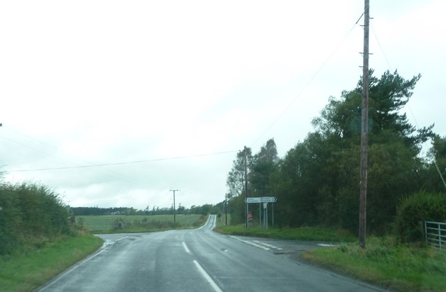
The woodland is crisscrossed by a network of paths and trails, allowing visitors to explore its natural wonders at their own pace. These paths lead to secluded picnic spots, offering visitors the opportunity to relax and soak in the peaceful atmosphere.
Overall, Black Knowe Covert in Roxburghshire is a captivating woodland that showcases the beauty of Scotland's natural landscapes. Its rich biodiversity, stunning views, and tranquil ambiance make it a must-visit destination for anyone seeking solace in nature.
If you have any feedback on the listing, please let us know in the comments section below.
Black Knowe Covert Images
Images are sourced within 2km of 55.576655/-2.3444004 or Grid Reference NT7831. Thanks to Geograph Open Source API. All images are credited.


Black Knowe Covert is located at Grid Ref: NT7831 (Lat: 55.576655, Lng: -2.3444004)
Unitary Authority: The Scottish Borders
Police Authority: The Lothians and Scottish Borders
What 3 Words
///conveying.handlebar.website. Near Maxwellheugh, Scottish Borders
Nearby Locations
Related Wikis

Lempitlaw
Lempitlaw is a hamlet, former parish and former feudal barony in the Scottish Borders area of Scotland, as well as the historic county of Roxburghshire...

Hoselaw Loch and Din Moss
Hoselaw Loch and Din Moss is a nature reserve near Kelso in the Scottish Borders area of Scotland, in the former Roxburghshire. The reserve is designated...
Battle of Haddon Rig
The Battle of Hadden Rig was a battle fought about three miles east of Kelso, in the Scottish Borders, between Scotland and England on 24 August 1542,...

Yetholm Loch
Yetholm Loch is a loch near Kelso, in the Scottish Borders area of Scotland, in the former Roxburghshire.There was a tower on an island in Yetholm Loch...
Nearby Amenities
Located within 500m of 55.576655,-2.3444004Have you been to Black Knowe Covert?
Leave your review of Black Knowe Covert below (or comments, questions and feedback).