Boghead Wood

Wood, Forest in Kincardineshire

Scotland

Boghead Wood

Rugby pitch at Lathallan School Rugby field on the Johnshaven side of Lathallan School.
Rugby pitch at Lathallan School Credit: Scott Cormie

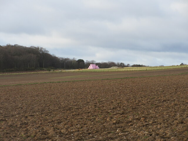
Located in the county of Kincardineshire, Scotland, Boghead Wood is a captivating forest that covers an area of approximately 20 hectares. This woodland treasure is situated near the small village of Boghead, just a few miles south of the town of Stonehaven.

Boghead Wood is a diverse ecosystem, home to an array of flora and fauna. The forest predominantly consists of native trees such as oak, birch, and rowan, which provide a lush canopy and offer a haven for numerous bird species. The woodland floor is carpeted with a rich variety of wildflowers, including bluebells, primroses, and wood anemones, which create a vibrant and fragrant tapestry during the spring months.

A network of well-maintained paths meanders through Boghead Wood, allowing visitors to explore its enchanting beauty. These trails offer breathtaking views of the surrounding countryside and provide opportunities for leisurely walks, picnics, and nature photography. The peaceful atmosphere of the wood makes it a popular destination for locals and tourists alike, who often come to escape the hustle and bustle of everyday life.

Boghead Wood is not only a haven for nature lovers but also plays a vital role in conserving biodiversity in the region. It provides a habitat for a range of species, including red squirrels, roe deer, and various woodland birds. Conservation efforts are in place to protect and preserve this precious woodland, ensuring its continued existence for generations to come.

In conclusion, Boghead Wood in Kincardineshire is a captivating forest that offers a tranquil retreat for visitors. With its diverse range of trees, vibrant wildflowers, and abundant wildlife, it is a true gem of natural beauty in the region.

If you have any feedback on the listing, please let us know in the comments section below.
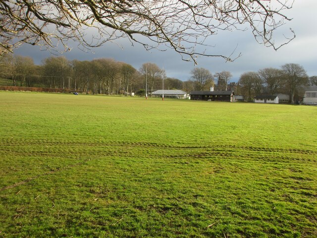
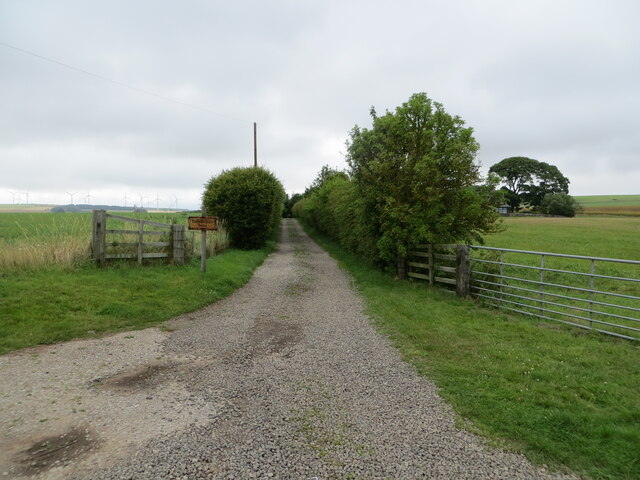
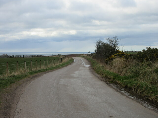
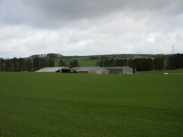
Boghead Wood Images

Images are sourced within 2km of 56.806816/-2.3570653 or Grid Reference NO7868. Thanks to Geograph Open Source API. All images are credited.

Rugby pitch at Lathallan School Rugby field on the Johnshaven side of Lathallan School.
Rugby pitch at Lathallan School
Rugby field on the Johnshaven side of Lathallan School.
House beside the A92
Woodland beside the A92
A92 heading north Towards Inverbervie.
National Cycle Route 1 (on road version).
A92 heading north
Towards Inverbervie. National Cycle Route 1 (on road version).
Hedge enclosed track giving access to Brawliemuir Farm Looking north-westward. Spelling as per farm sign.
Hedge enclosed track giving access to Brawliemuir Farm
Looking north-westward. Spelling as per farm sign.
Tree-lined road at Mains of Brotherton Looking south-westward.
Tree-lined road at Mains of Brotherton
Looking south-westward.
South Street, Johnshaven Looking north-eastward.
South Street, Johnshaven
Looking north-eastward.
Johnshaven Looking down from the A92, which bypasses the town.
Johnshaven
Looking down from the A92, which bypasses the town.
Ordnance Survey Flush Bracket 12090 This bracket can be found on the wall of a building at Mains of Brotherton.
The recorded details give a height of 53.03 metres above sea level.
For more detail see : <span class="nowrap"><a title="https://www.bench-marks.org.uk/bm19457" rel="nofollow ugc noopener" href="https://www.bench-marks.org.uk/bm19457">Link</a><img style="margin-left:2px;" alt="External link" title="External link - shift click to open in new window" src="https://s1.geograph.org.uk/img/external.png" width="10" height="10"/></span>
Ordnance Survey Flush Bracket 12090
This bracket can be found on the wall of a building at Mains of Brotherton. The recorded details give a height of 53.03 metres above sea level. For more detail see : LinkExternal link
Ordnance Survey Cut Mark This mark can be found on the wall of a house in West Street, Johnshaven.
The recorded details give a height of 7.7328 metres above sea level.
For more detail see : <span class="nowrap"><a title="https://www.bench-marks.org.uk/bm162462" rel="nofollow ugc noopener" href="https://www.bench-marks.org.uk/bm162462">Link</a><img style="margin-left:2px;" alt="External link" title="External link - shift click to open in new window" src="https://s1.geograph.org.uk/img/external.png" width="10" height="10"/></span>
Ordnance Survey Cut Mark
This mark can be found on the wall of a house in West Street, Johnshaven. The recorded details give a height of 7.7328 metres above sea level. For more detail see : LinkExternal link
Benholm War Memorial The Benholm Parish War Memorial in the centre of Johnshaven.
Benholm War Memorial
The Benholm Parish War Memorial in the centre of Johnshaven.
Stone of Benholm Looking northwards to the Stone of Benholm from the C7K road.
Stone of Benholm
Looking northwards to the Stone of Benholm from the C7K road.
C7K (Aberdeenshire) Road The C7K road heading towards the A92 at Johnshaven, with the North Sea in the distance.
C7K (Aberdeenshire) Road
The C7K road heading towards the A92 at Johnshaven, with the North Sea in the distance.
Farm sheds at Craighead Looking north from the roadside to three large sheds at Craighead.
Farm sheds at Craighead
Looking north from the roadside to three large sheds at Craighead.
Pink bales A distant view of pink-wrapped bales to the north of Muirton on the lower southern slope of Paul Matthew Hill.
Pink bales
A distant view of pink-wrapped bales to the north of Muirton on the lower southern slope of Paul Matthew Hill.
Stern of fishing boat This boat is on the quay at Johnshaven Harbour.
Stern of fishing boat
This boat is on the quay at Johnshaven Harbour.
Leading to Gateside Mains of Bridgeton track leading to Gateside
Leading to Gateside
Mains of Bridgeton track leading to Gateside
Show me another place!

Boghead Wood is located at Grid Ref: NO7868 (Lat: 56.806816, Lng: -2.3570653)

Unitary Authority: Aberdeenshire

Police Authority: North East

What 3 Words

///weekends.saved.column. Near St Cyrus, Aberdeenshire

Nearby Locations

Boghead Wood

Related Wikis

Johnshaven railway station

Johnshaven railway station served the area of Johnshaven, Aberdeenshire, Scotland from 1865 to 1951 on the Montrose and Bervie Railway. == History == The...
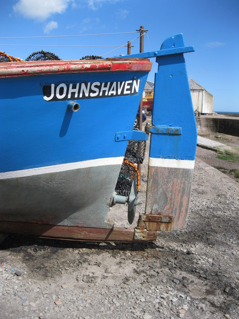
Johnshaven

Johnshaven is a coastal village along the North Sea located in Aberdeenshire, Scotland. About 2 miles (3 km) southwest of Johnshaven lies Milton Ness,...
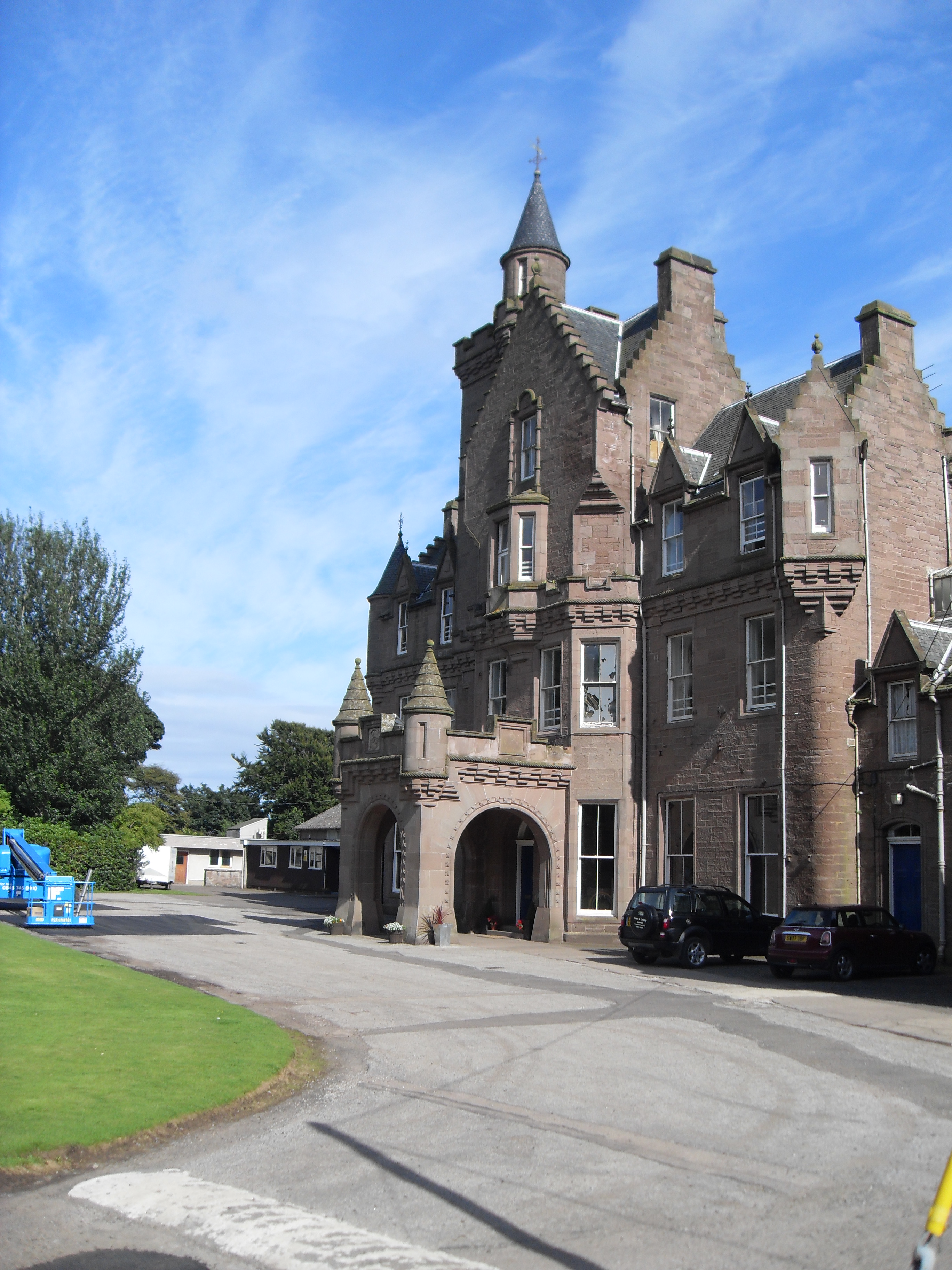
Lathallan School

Lathallan School is a co-educational all-through independent school at Brotherton Castle in Scotland, UK. It also offers outdoor learning programs on its...

Benholm

Benholm is a small settlement in Aberdeenshire, Scotland, UK. It is now a conservation area and is home to Benholm Mill.The A92 passes the eastern edge...

Nearby Amenities

Located within 500m of 56.806816,-2.3570653
Cloch Hill
Ele: 150
Natural: peak
Lat/Long: 56.8027701/-2.3595543
Power: pole
Lat/Long: 56.8033748/-2.3531734
Power: pole
Lat/Long: 56.8040463/-2.3528362
Power: pole
Lat/Long: 56.8046632/-2.3525479
Power: pole
Lat/Long: 56.805308/-2.3522307
Power: pole
Lat/Long: 56.8059455/-2.3519158
Power: pole
Lat/Long: 56.8065745/-2.351603
Power: pole
Lat/Long: 56.8070578/-2.3524326
Power: pole
Lat/Long: 56.8075156/-2.3531889
Power: pole
Lat/Long: 56.8079867/-2.3539563
Power: pole
Lat/Long: 56.8084457/-2.3547282
Power: pole
Lat/Long: 56.8088998/-2.3554912
Power: pole
Lat/Long: 56.8095494/-2.3556132
Power: pole
Lat/Long: 56.8102257/-2.355744
Power: pole
Lat/Long: 56.8109178/-2.3559104
Power: pole
Lat/Long: 56.8101492/-2.3603741
Power: pole
Lat/Long: 56.8101686/-2.3595424
Power: pole
Lat/Long: 56.8101905/-2.3582315
Power: pole
Lat/Long: 56.8102075/-2.3569451
The data included in this document is from www.openstreetmap.org. The data is made available under ODbL.

Have you been to Boghead Wood?

Leave your review of Boghead Wood below (or comments, questions and feedback).