Birkenhill Wood
Wood, Forest in Aberdeenshire
Scotland
Birkenhill Wood
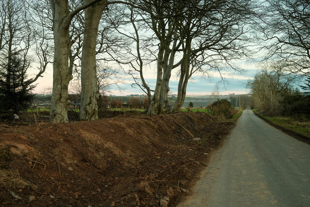
Birkenhill Wood is a picturesque forest located in Aberdeenshire, Scotland. Covering an area of approximately 100 hectares, it is a popular destination for nature lovers, hikers, and wildlife enthusiasts. The wood is situated near the town of Elrick, just a short distance from Aberdeen city.
The woodland is predominantly composed of native broadleaf trees, with birch trees being the dominant species, giving the wood its name. These trees create a beautiful canopy, providing shade and shelter for the diverse range of flora and fauna that inhabit the area. The forest floor is carpeted with a variety of wildflowers, ferns, and mosses, adding to its natural beauty.
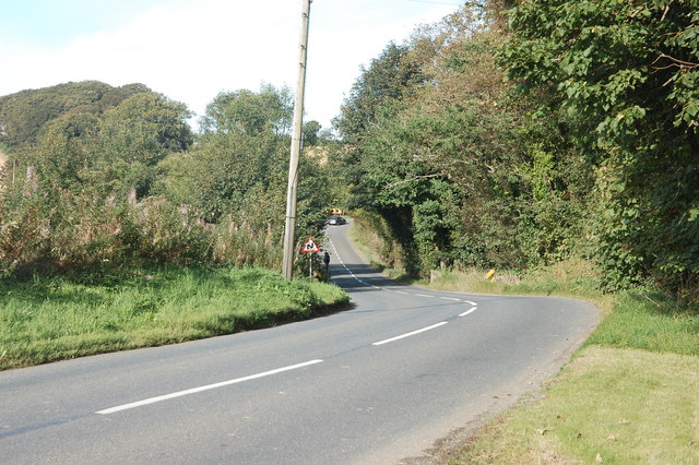
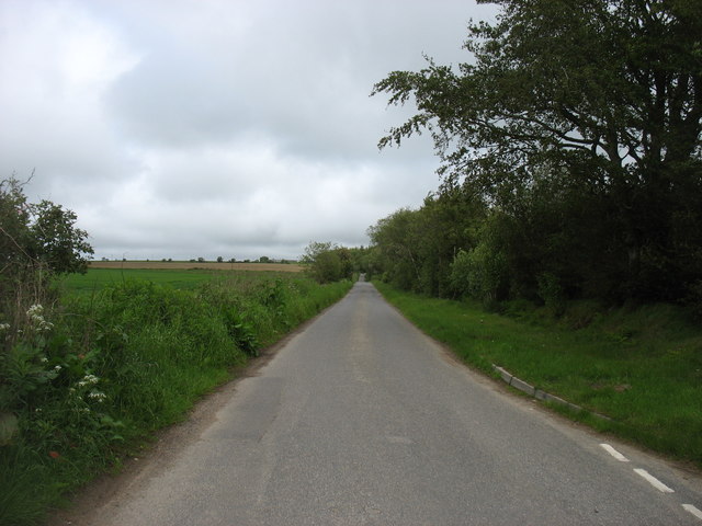
Visitors to Birkenhill Wood can enjoy a network of well-maintained paths and trails, allowing them to explore the area and experience its tranquility. There are also designated picnic areas and benches where visitors can relax and enjoy the peaceful surroundings.
The wood is home to a wide range of wildlife, including red squirrels, roe deer, and a variety of bird species such as woodpeckers and owls. In spring, the forest comes alive with the sound of birdsong and the sight of wildflowers in full bloom. It is also a popular spot for butterfly enthusiasts, with various species fluttering among the trees.
Birkenhill Wood is not only a haven for wildlife but also an important site for conservation and education. It is managed by local authorities and conservation organizations who work together to protect and enhance the woodland's biodiversity.
Overall, Birkenhill Wood offers a wonderful opportunity to immerse oneself in nature, providing a peaceful escape from the hustle and bustle of everyday life.
If you have any feedback on the listing, please let us know in the comments section below.
Birkenhill Wood Images
Images are sourced within 2km of 57.591336/-2.3822704 or Grid Reference NJ7755. Thanks to Geograph Open Source API. All images are credited.


Birkenhill Wood is located at Grid Ref: NJ7755 (Lat: 57.591336, Lng: -2.3822704)
Unitary Authority: Aberdeenshire
Police Authority: North East
What 3 Words
///enabling.cooked.dragging. Near Turriff, Aberdeenshire
Nearby Locations
Related Wikis
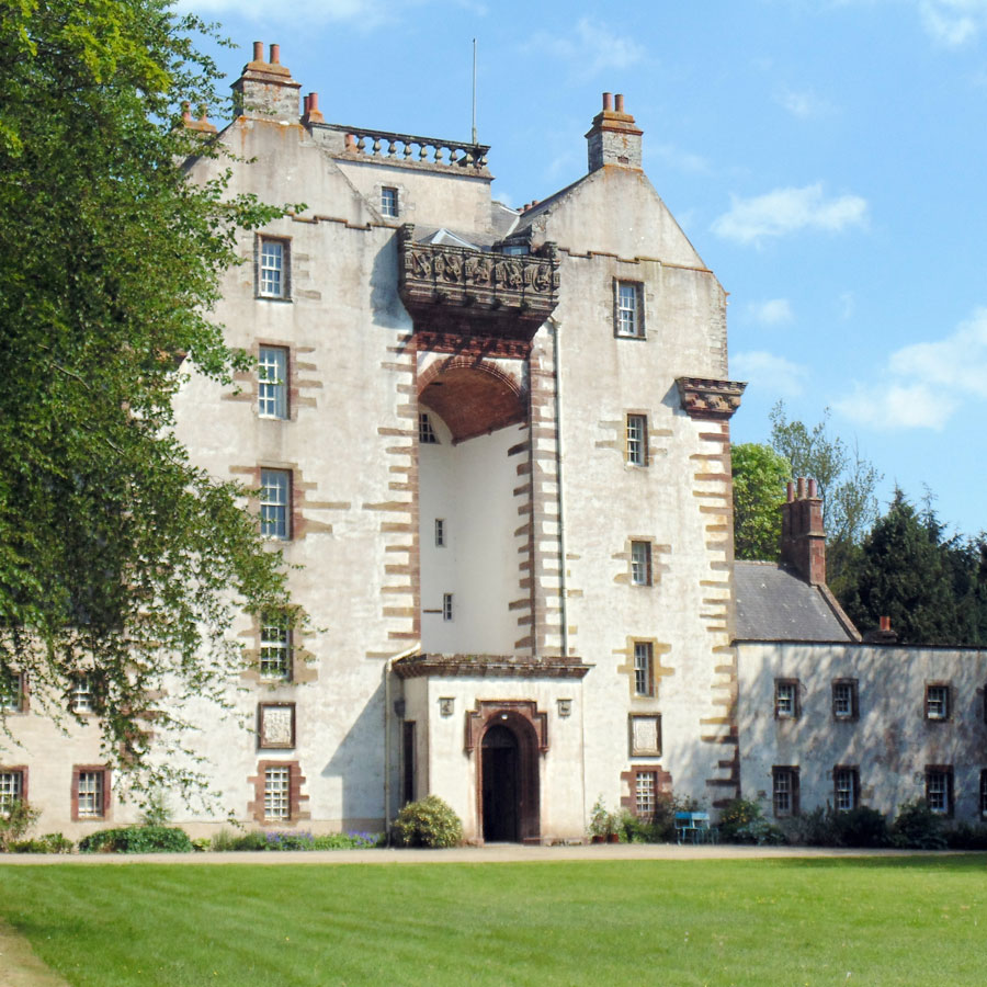
Craigston Castle
Craigston Castle is a 17th-century country house located about 4 miles (6.4 kilometres) north-east of Turriff, Aberdeenshire, Scotland, and is an historic...
Crudie
Crudie is a settlement in Aberdeenshire, Scotland. It is situated on the A98. It has a primary school and a war memorial. == References ==

Gairnieston Castle
Gairnieston Castle or Garniston Castle was a medieval castle in Aberdeenshire, Scotland.No traces of it remain. == History == The castle was the seat of...

Plaidy railway station
Plaidy railway station was a railway station at Plaidy, Aberdeenshire, Scotland on the rural branchline to Macduff. It was opened in 1860 by the Banff...

Netherbrae
Netherbrae is an area of farmland and small crofts in Aberdeenshire, Scotland. It is approximately 8 miles (13 km) north of Turriff and 9 miles (14 km...

Garmond, Aberdeenshire
Garmond (Scottish Gaelic: Garbh Mhon(adh)) is a linear village in Monquhitter Parish which is located in Aberdeenshire, Scotland. It was founded c.1760...
Castle of King Edward
The Castle of King Edward is a 13th-century ruined castle near King Edward, Aberdeenshire, Scotland, located 6 kilometres (3.7 mi) north of Turriff, where...

New Byth
New Byth is a small inland planned village in the Banff and Buchan committee area of Aberdeenshire, Scotland, that lies a few miles northeast of Cuminestown...
Nearby Amenities
Located within 500m of 57.591336,-2.3822704Have you been to Birkenhill Wood?
Leave your review of Birkenhill Wood below (or comments, questions and feedback).