Blakelaw Covert
Wood, Forest in Roxburghshire
Scotland
Blakelaw Covert
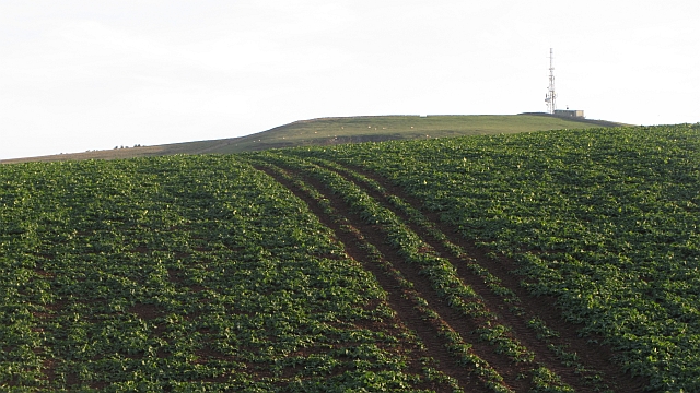
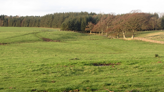
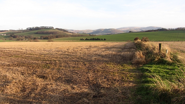
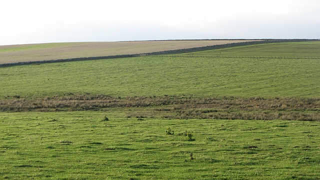
Blakelaw Covert is a picturesque woodland located in Roxburghshire, Scotland. Spanning over a vast area, this forest is a haven for nature lovers and outdoor enthusiasts. The covert is situated near the village of Blakelaw, nestled amidst the rolling hills and stunning landscapes of the Scottish Borders.
The woodland is characterized by a diverse range of tree species that create a unique and enchanting atmosphere. Towering Scots pines dominate the landscape, providing a habitat for a variety of bird species, such as the majestic golden eagle and the elusive capercaillie. The forest floor is adorned with a rich carpet of ferns, bluebells, and wildflowers, adding vibrant colors to the surroundings.
Blakelaw Covert offers a tranquil escape from the hustle and bustle of modern life. Visitors can explore the numerous walking trails that meander through the forest, offering breathtaking views of the surrounding countryside. These trails cater to different fitness levels, ensuring that everyone can enjoy the beauty of the woodland at their own pace.
The woodland is also home to an abundance of wildlife. Red squirrels can be spotted darting between the trees, while roe deer can be observed grazing in the open clearings. Nature enthusiasts may even catch a glimpse of the elusive otter by the nearby river.
Blakelaw Covert is not only a haven for wildlife but also a valuable resource for the local community. The forest provides timber for various industries, supports recreational activities, and helps maintain a healthy ecosystem.
Overall, Blakelaw Covert is a captivating woodland that showcases the natural beauty of Scotland's countryside. Whether it's for a leisurely stroll, birdwatching, or simply enjoying the tranquility of nature, this forest offers an unforgettable experience for all who visit.
If you have any feedback on the listing, please let us know in the comments section below.
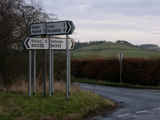
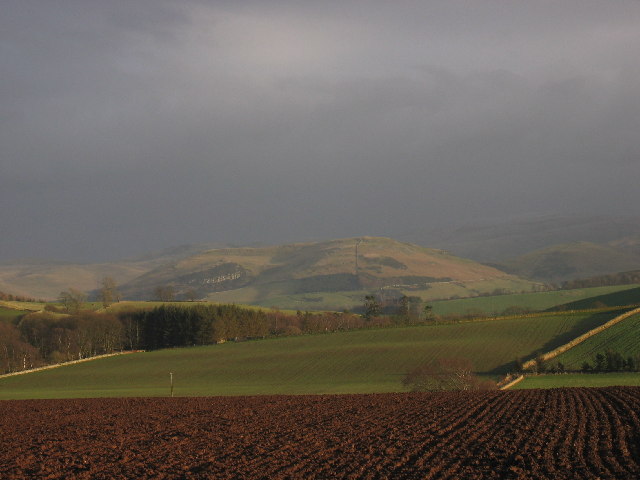
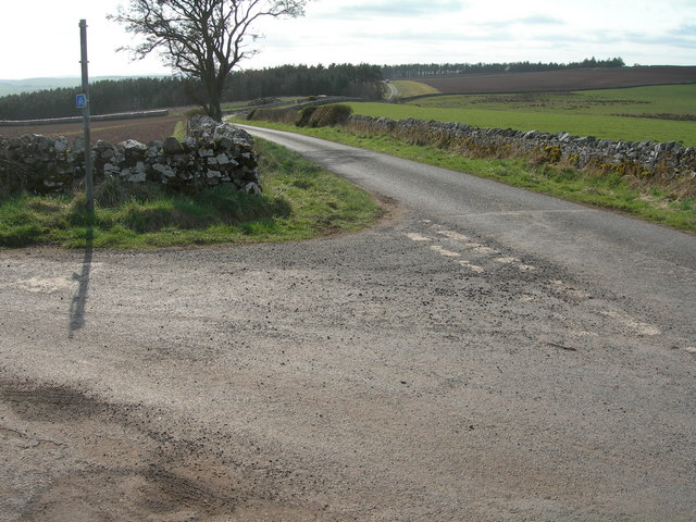
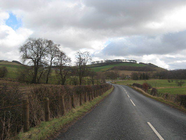
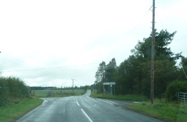
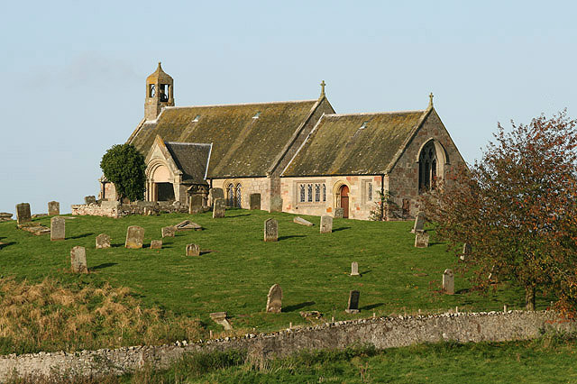
Blakelaw Covert Images
Images are sourced within 2km of 55.564323/-2.3643815 or Grid Reference NT7730. Thanks to Geograph Open Source API. All images are credited.


Blakelaw Covert is located at Grid Ref: NT7730 (Lat: 55.564323, Lng: -2.3643815)
Unitary Authority: The Scottish Borders
Police Authority: The Lothians and Scottish Borders
What 3 Words
///abstracts.eats.earmarked. Near Maxwellheugh, Scottish Borders
Nearby Locations
Related Wikis

Lempitlaw
Lempitlaw is a hamlet, former parish and former feudal barony in the Scottish Borders area of Scotland, as well as the historic county of Roxburghshire...

Yetholm Loch
Yetholm Loch is a loch near Kelso, in the Scottish Borders area of Scotland, in the former Roxburghshire.There was a tower on an island in Yetholm Loch...
Linton, Scottish Borders
Linton is a small village in the Scottish Borders area of Scotland. It is situated a mile north of the village of Morebattle. == History == People have...

Hoselaw Loch and Din Moss
Hoselaw Loch and Din Moss is a nature reserve near Kelso in the Scottish Borders area of Scotland, in the former Roxburghshire. The reserve is designated...
Battle of Haddon Rig
The Battle of Hadden Rig was a battle fought about three miles east of Kelso, in the Scottish Borders, between Scotland and England on 24 August 1542,...
Kelso railway station
Kelso railway station served the town of Kelso, Scottish Borders, Scotland from 1851 to 1964 on the Kelso Line. == History == The station opened on 27...

Morebattle
Morebattle is a village in the Scottish Borders area of Scotland, on the B6401, seven miles south of Kelso, Scottish Borders, beside the Kale Water, a...

Sprouston
Sprouston is a village, parish and former feudal barony in the Scottish Borders area of Scotland, as well as the historic county of Roxburghshire, located...
Nearby Amenities
Located within 500m of 55.564323,-2.3643815Have you been to Blakelaw Covert?
Leave your review of Blakelaw Covert below (or comments, questions and feedback).