Belts of Haddo
Wood, Forest in Aberdeenshire
Scotland
Belts of Haddo

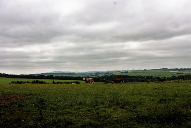
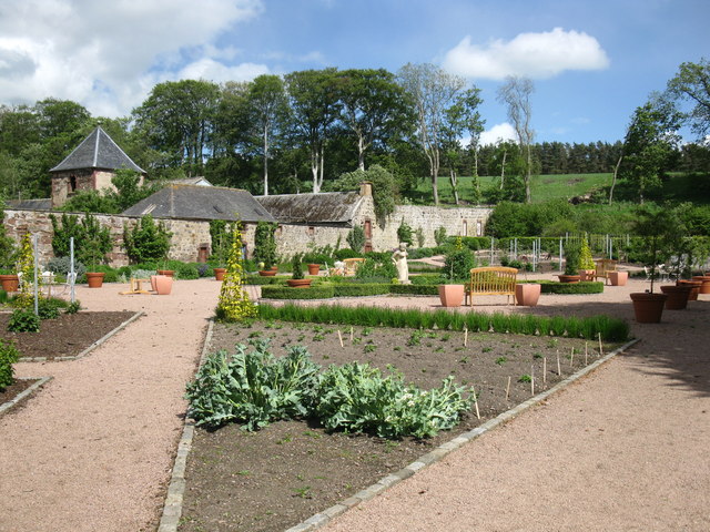
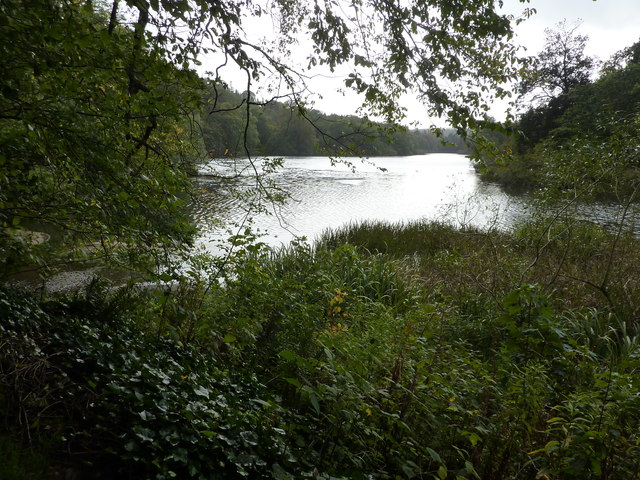
Belts of Haddo, located in Aberdeenshire, Scotland, is an enchanting woodland area renowned for its natural beauty and rich biodiversity. Spread across approximately 400 hectares, the forest is situated within the Haddo House estate, which was designed in the 18th century by William Adam.
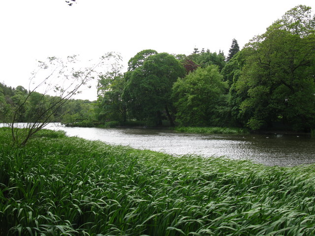
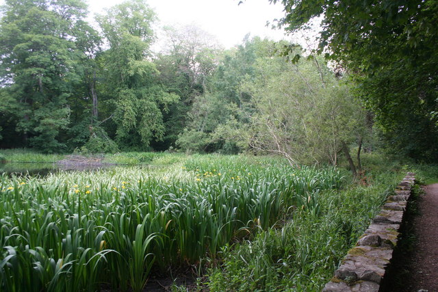
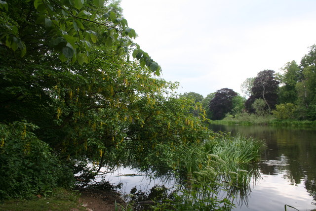
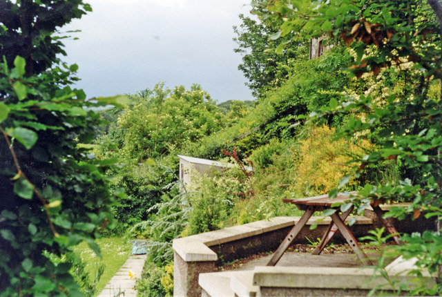
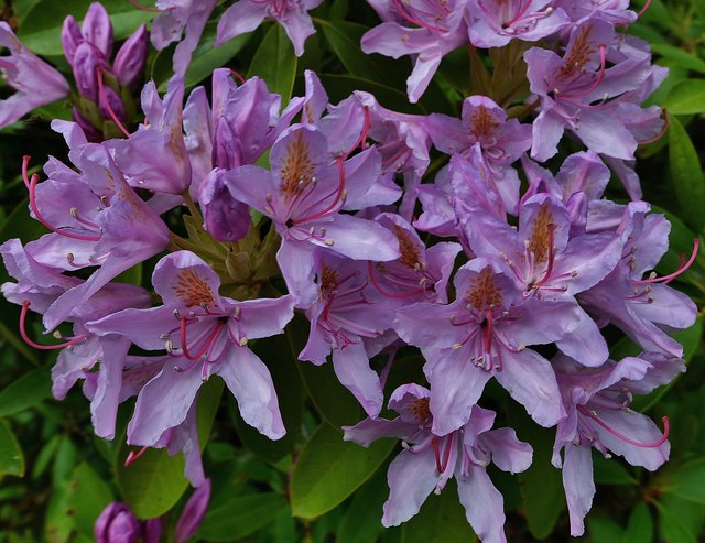
The woodland is predominantly composed of a mixture of coniferous and deciduous trees, creating a diverse ecosystem. Towering Scots pines, majestic oak trees, and vibrant beech trees dominate the landscape, offering a stunning display of colors throughout the seasons. The forest floor is carpeted with a variety of native flora, including bluebells, primroses, and ferns, providing a serene and picturesque setting for visitors.
The Belts of Haddo is not only visually captivating but also serves as a haven for wildlife. The forest is home to numerous species, such as red squirrels, roe deer, and a vast array of bird species, including woodpeckers and owls. Nature enthusiasts can explore the forest's extensive network of trails, offering the chance to observe and appreciate the local fauna and flora.
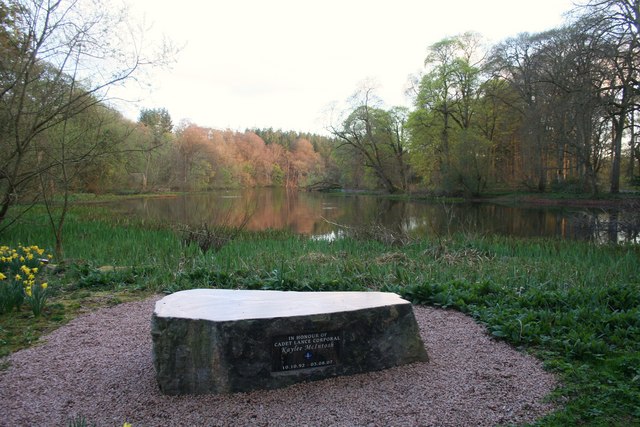
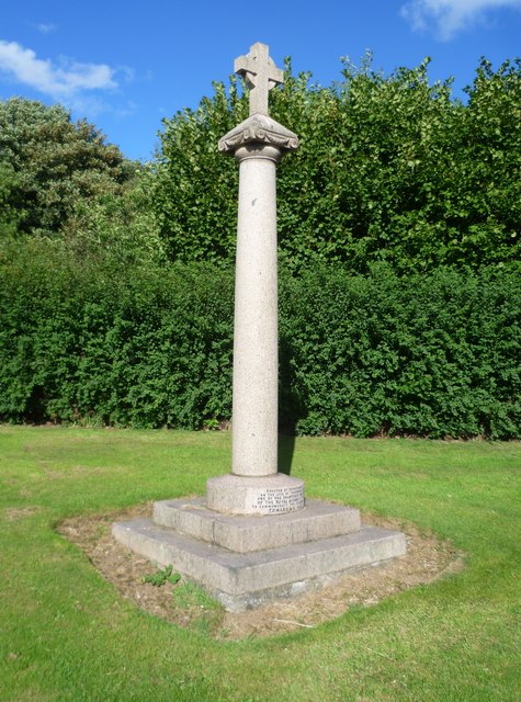
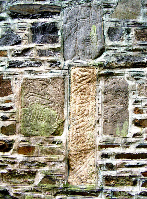
The woodland also holds historical significance, with remnants of ancient settlements and archaeological sites scattered throughout. Visitors can stumble upon ancient burial mounds, stone circles, and the remains of a medieval chapel, adding an extra layer of intrigue to the area.
Overall, the Belts of Haddo is a captivating woodland retreat that offers visitors a chance to immerse themselves in nature, witness diverse wildlife, and explore the historical remnants of the region.
If you have any feedback on the listing, please let us know in the comments section below.
Belts of Haddo Images
Images are sourced within 2km of 57.450201/-2.3971254 or Grid Reference NJ7640. Thanks to Geograph Open Source API. All images are credited.


Belts of Haddo is located at Grid Ref: NJ7640 (Lat: 57.450201, Lng: -2.3971254)
Unitary Authority: Aberdeenshire
Police Authority: North East
What 3 Words
///suits.miss.funnels. Near Rothienorman, Aberdeenshire
Nearby Locations
Related Wikis

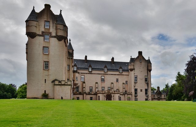
Fyvie Castle
Fyvie Castle is a castle in the village of Fyvie, near Turriff in Aberdeenshire, Scotland. == History == The earliest parts of Fyvie Castle date from the...

Fyvie railway station
Fyvie railway station was a railway station near Fyvie, Aberdeenshire. It served the rural area and Fyvie Castle, but lay about 1 mile (1.6 km) from the...

Tifty, Aberdeenshire
Tifty is near Turriff, Aberdeenshire, Scotland. == References ==
Fyvie
Fyvie is a village in the Formartine area of Aberdeenshire, Scotland. == Geography == Fyvie lies alongside the River Ythan and is on the A947 road. �...
Nearby Amenities
Located within 500m of 57.450201,-2.3971254Have you been to Belts of Haddo?
Leave your review of Belts of Haddo below (or comments, questions and feedback).