Wood of Germany

Wood, Forest in Kincardineshire

Scotland

Wood of Germany

An interesting sign in the Burn of Guinea at the Bridge of Bogincaber
An interesting sign in the Burn of Guinea at the Bridge of Bogincaber Credit: Mike Dunn

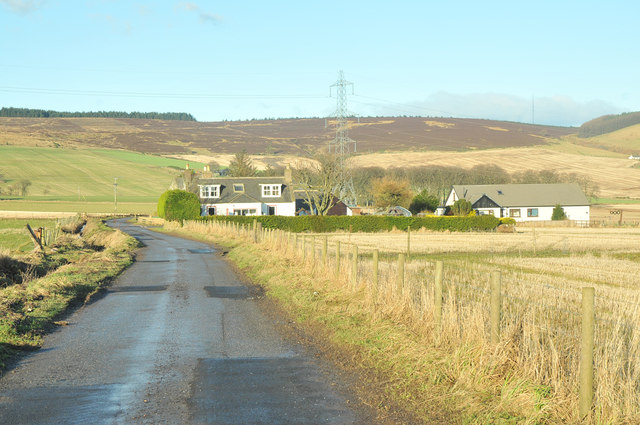
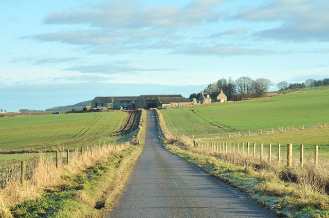
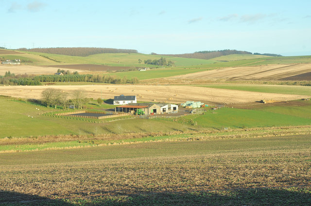
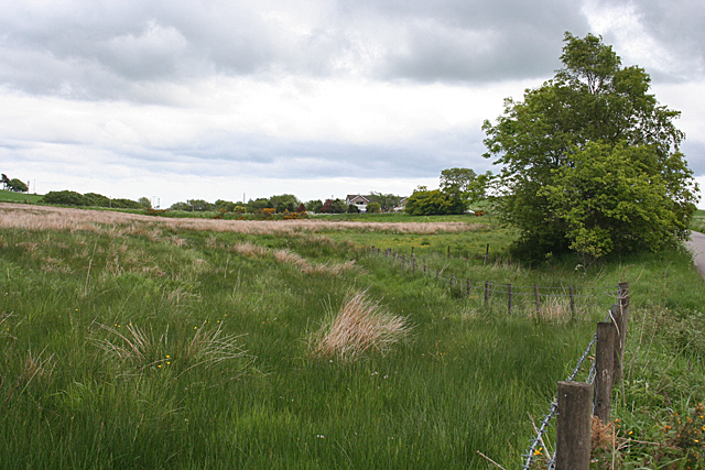
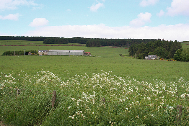
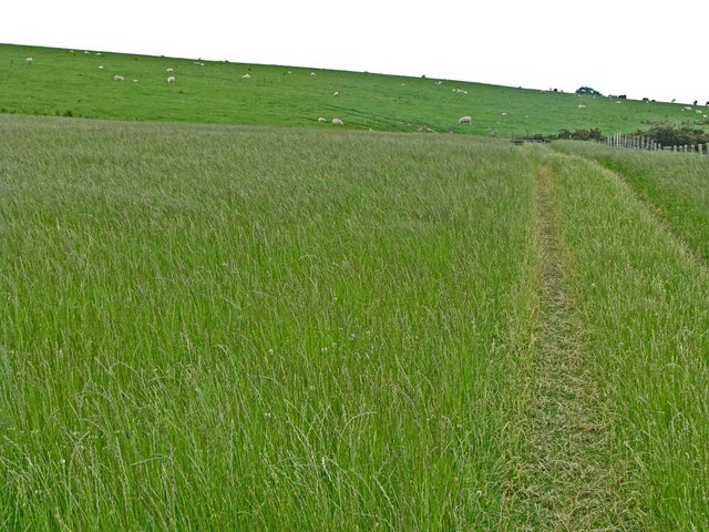
Wood of Germany is a picturesque forest located in Kincardineshire, Scotland. Spanning over a vast area, it covers approximately 500 acres of lush green landscape. The forest is renowned for its diverse range of trees, including native species such as oak, birch, beech, and pine, creating a stunning and varied woodland habitat.

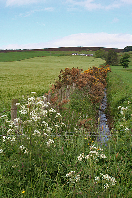
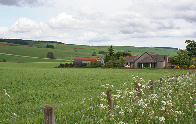
The Wood of Germany offers a tranquil escape for nature enthusiasts and outdoor adventurers alike. It is a popular destination for hikers, walkers, and cyclists, who can explore the well-maintained trails that wind through the forest. The paths offer breathtaking views of the surrounding countryside, with occasional glimpses of wildlife such as deer, rabbits, and a variety of bird species.

The forest is also home to a rich biodiversity, with numerous plant species carpeting the forest floor, including bluebells, wild garlic, and ferns. This diversity provides a habitat for a wide range of insects, butterflies, and other small creatures.

Wood of Germany is well-equipped with visitor facilities, including picnic areas, benches, and information boards that educate visitors about the forest's ecology and history. The forest is managed by local authorities, who ensure the preservation of its natural beauty while allowing public access for recreational purposes.

Overall, Wood of Germany is a true gem of Kincardineshire. It offers a peaceful retreat in the heart of nature, allowing visitors to immerse themselves in the beauty and tranquility of the Scottish countryside.

If you have any feedback on the listing, please let us know in the comments section below.

Wood of Germany Images

Images are sourced within 2km of 56.94579/-2.3931253 or Grid Reference NO7683. Thanks to Geograph Open Source API. All images are credited.

An interesting sign in the Burn of Guinea at the Bridge of Bogincaber
Farm road to Inches
Farm road to Inches
Farm road to Cot Bank
Minor road near Goosecruives
Minor road near Jacksbank
Waters Farm
Waters Farm
Minor road near Buckie's Mill
Construction Site It was a bit of a surprise to come across this near the top of a hill, but a nearby sign advises of construction work associated with a wind farm, so perhaps it's part of that.
Construction Site
It was a bit of a surprise to come across this near the top of a hill, but a nearby sign advises of construction work associated with a wind farm, so perhaps it's part of that.
Killer Burn This is actually more the boggy land at the foot of the Killer Burn than the burn itself.
Killer Burn
This is actually more the boggy land at the foot of the Killer Burn than the burn itself.
East Town Farm In Scots, the suffix '-ton' or '-toun' or '-town' doesn't necessarily mean an urban settlement. It is a common element in the names of farms. This is another farm with a pleasant situation in summer, if not in winter.
East Town Farm
In Scots, the suffix '-ton' or '-toun' or '-town' doesn't necessarily mean an urban settlement. It is a common element in the names of farms. This is another farm with a pleasant situation in summer, if not in winter.
Cleuchhead Cleuchhead stands well above the road on the Brae of Glenbervie, with the Hill of Bogjurgan sheltering it from the north.
Cleuchhead
Cleuchhead stands well above the road on the Brae of Glenbervie, with the Hill of Bogjurgan sheltering it from the north.
New Bungalow near Peathillock This is one of three new houses by the roadside. The Brae of Glenbervie is to the left.
New Bungalow near Peathillock
This is one of three new houses by the roadside. The Brae of Glenbervie is to the left.
Mains of Inchbreck The steadings here have all been renovated and converted to housing.
Mains of Inchbreck
The steadings here have all been renovated and converted to housing.
Bridge of Bogincaber The bridge carries the road across the Burn of Guinea. Compare with <a href="https://www.geograph.org.uk/photo/2564787">NO7483 : An interesting sign in the Burn of Guinea at the Bridge of Bogincaber</a>. Presumably the ban on ball games has been lifted.
Bridge of Bogincaber
The bridge carries the road across the Burn of Guinea. Compare with NO7483 : An interesting sign in the Burn of Guinea at the Bridge of Bogincaber. Presumably the ban on ball games has been lifted.
White Hill It's not obvious why this modest hill should be so named; there's nothing obviously white about it.
White Hill
It's not obvious why this modest hill should be so named; there's nothing obviously white about it.
Quithel Junction A road junction with the farm of Quithel just visible on the right.
Quithel Junction
A road junction with the farm of Quithel just visible on the right.
Combine near Inches Combine harvester viewed from the Inches Farm access track.
Combine near Inches
Combine harvester viewed from the Inches Farm access track.
Backfield Farm Backfield viewed from the roadside to the south-east.
Backfield Farm
Backfield viewed from the roadside to the south-east.
Show me another place!

Wood of Germany is located at Grid Ref: NO7683 (Lat: 56.94579, Lng: -2.3931253)

Unitary Authority: Aberdeenshire

Police Authority: North East

What 3 Words

///twice.pouch.scoop. Near Stonehaven, Aberdeenshire

Nearby Locations

Wood of Germany

Related Wikis

Bogjurgan Hill

Bogjurgan Hill is an elevated landform at the southern verge of the Fetteresso Forest in Aberdeenshire, Scotland. Its top is at an elevation of 299 metres...

Droop Hill

Droop Hill is a mountain landform in the Kincardine and Mearns region of Aberdeenshire, Scotland. The locale had been featured in a windfarm proposal...

Carmont railway station

Carmont railway station, on the Aberdeen Railway, served the rural area of Carmont in Aberdeenshire, Scotland from 1855 to 1964. == History == The station...

Fetteresso Forest

The Fetteresso Forest is a woodland that is principally coniferous situated in the Mounth range of the Grampian Mountains in Aberdeenshire, Scotland. The...

Nearby Amenities

Located within 500m of 56.94579,-2.3931253
Power: tower
Lat/Long: 56.9431793/-2.3948967
Power: tower
Lat/Long: 56.9446773/-2.3907285
Power: tower
Lat/Long: 56.9462163/-2.3864461
Power: pole
Lat/Long: 56.9418145/-2.3951557
Power: pole
Lat/Long: 56.942192/-2.3940089
Power: pole
Lat/Long: 56.9426868/-2.3925295
Power: pole
Lat/Long: 56.9430909/-2.3913418
Power: pole
Lat/Long: 56.9435519/-2.38996
Power: pole
Lat/Long: 56.943933/-2.3888022
Power: pole
Lat/Long: 56.9443395/-2.3876089
Power: pole
Lat/Long: 56.9446722/-2.3865864
Power: pole
Lat/Long: 56.945069/-2.385402
Power: pole
Lat/Long: 56.9428562/-2.394315
Power: pole
Lat/Long: 56.943524/-2.3946167
Power: pole
Lat/Long: 56.9441834/-2.3949205
Power: pole
Lat/Long: 56.9448597/-2.3952444
Power: pole
Lat/Long: 56.9453775/-2.3954884
Power: pole
Lat/Long: 56.9458142/-2.3956924
Power: pole
Lat/Long: 56.9463707/-2.3959386
Power: pole
Lat/Long: 56.9470397/-2.3962491
Power: pole
Lat/Long: 56.9477389/-2.3965852
Power: pole
Lat/Long: 56.9482784/-2.3968402
Power: pole
Lat/Long: 56.9488784/-2.3971153
Power: pole
Lat/Long: 56.9494457/-2.3973725
Power: pole
Lat/Long: 56.9461033/-2.39693
Power: pole
Lat/Long: 56.945836/-2.3979481
Power: pole
Lat/Long: 56.9455686/-2.398924
Power: pole
Lat/Long: 56.9453025/-2.3999443
Power: pole
Lat/Long: 56.9450218/-2.4010112
Power: pole
Lat/Long: 56.9445572/-2.4006918
Power: pole
Lat/Long: 56.9440334/-2.4003258
Power: pole
Lat/Long: 56.9436462/-2.4001617
Power: pole
Lat/Long: 56.9422718/-2.3886846
Power: pole
Lat/Long: 56.9429058/-2.3893101
The data included in this document is from www.openstreetmap.org. The data is made available under ODbL.

Have you been to Wood of Germany?

Leave your review of Wood of Germany below (or comments, questions and feedback).