Backstrip Wood
Wood, Forest in Aberdeenshire
Scotland
Backstrip Wood

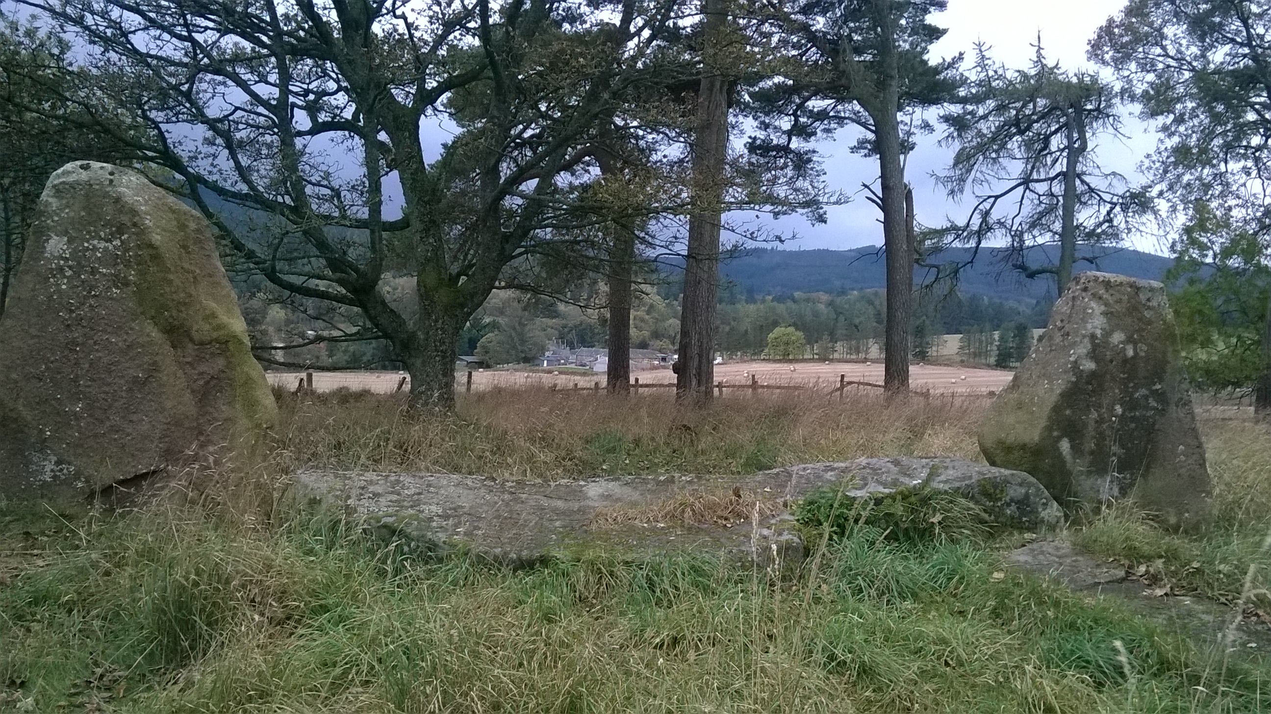
Backstrip Wood is a picturesque forest located in Aberdeenshire, a county in northeastern Scotland. Spread over a vast area, this woodland is known for its natural beauty, diverse wildlife, and recreational opportunities.
The wood is primarily composed of native species such as oak, birch, and Scots pine, which create a dense canopy that provides shelter and habitat for various animal species. The forest floor is covered with a thick layer of moss, ferns, and wildflowers, adding to its enchanting charm.
Backstrip Wood is a popular destination for outdoor enthusiasts and nature lovers. It offers a network of well-maintained trails that wind through the forest, allowing visitors to explore its serene surroundings. These trails are suitable for walking, jogging, and cycling, providing the perfect opportunity to immerse oneself in the tranquility of nature.
The wood is also home to a wide range of wildlife, including red squirrels, roe deer, and a variety of bird species. Birdwatchers can spot woodpeckers, owls, and even the elusive capercaillie, a rare bird native to the Scottish Highlands.
In addition to its natural beauty, Backstrip Wood also has historical significance. The remnants of an ancient settlement can be found within its boundaries, offering glimpses into the area's past.
Overall, Backstrip Wood is a captivating destination that showcases the beauty of Aberdeenshire's natural landscape. Whether seeking a peaceful stroll or an immersive wildlife experience, visitors are sure to find solace and serenity in this idyllic forest.
If you have any feedback on the listing, please let us know in the comments section below.
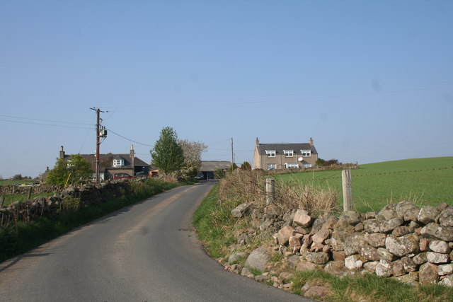
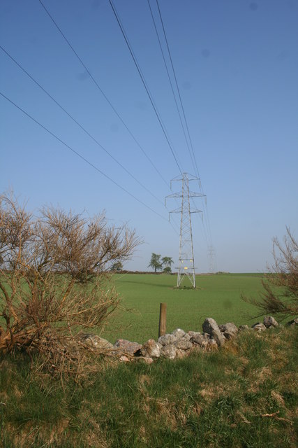
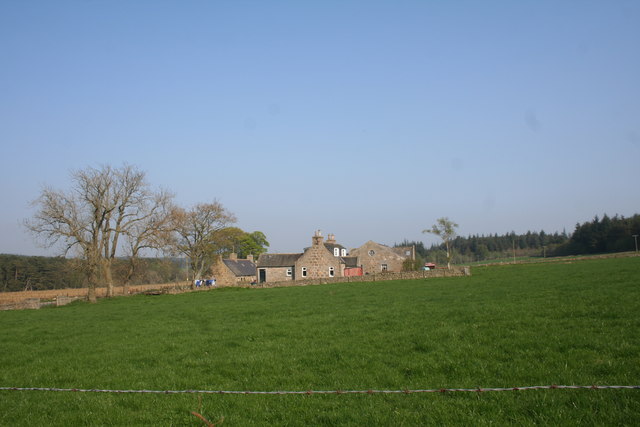
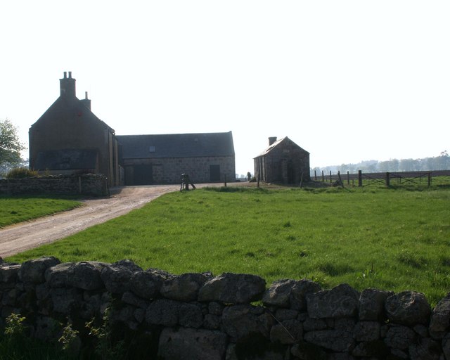
Backstrip Wood Images
Images are sourced within 2km of 57.130624/-2.4032933 or Grid Reference NJ7504. Thanks to Geograph Open Source API. All images are credited.


Backstrip Wood is located at Grid Ref: NJ7504 (Lat: 57.130624, Lng: -2.4032933)
Unitary Authority: Aberdeenshire
Police Authority: North East
What 3 Words
///adverbs.owners.wheat. Near Westhill, Aberdeenshire
Nearby Locations
Related Wikis

Echt, Aberdeenshire
Echt (Scottish Gaelic: Eicht) is an Aberdeenshire crossroads village in northeast Scotland with a population of approximately 300 people. Echt has a number...
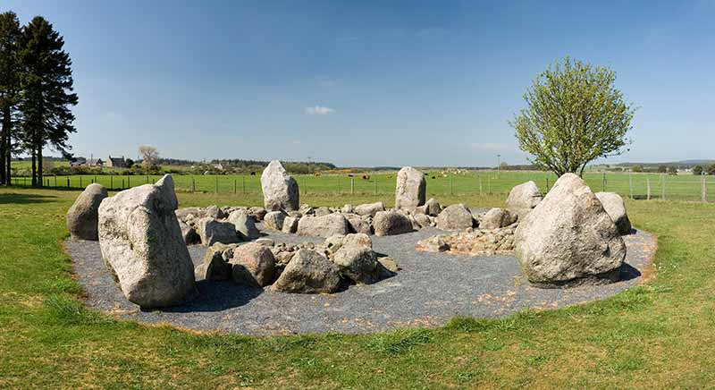
Cullerlie stone circle
Cullerlie stone circle, also known as the Standing Stones of Echt, is a small stone circle situated near Echt, Aberdeenshire. It consists of eight irregular...

Garlogie
Garlogie (Scottish Gaelic: Geàrr Lagaidh) is a roadside hamlet in Aberdeenshire, Scotland. It was, during the 19th century, the site of a textile milling...

Dunecht estate
The Dunecht Estate is one of the largest private estates in Aberdeenshire, Scotland at 53,000 acres (210 km2). It is owned by The Hon Charles Anthony...
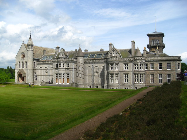
Dunecht House
Dunecht House is a stately home on the Dunecht estate in Aberdeenshire, Scotland. The house is protected as a category A listed building, and the grounds...
Battle of Corrichie
The Battle of Corrichie, also known as the Battle of Corrichy was a battle fought near Meikle Tap, near Aberdeen, Scotland, on 28 October 1562. It was...

Loch of Skene
Loch of Skene is a large lowland, freshwater loch in Aberdeenshire, Scotland. It lies approximately 1 mi (1.6 km) to the west of the village of Kirkton...
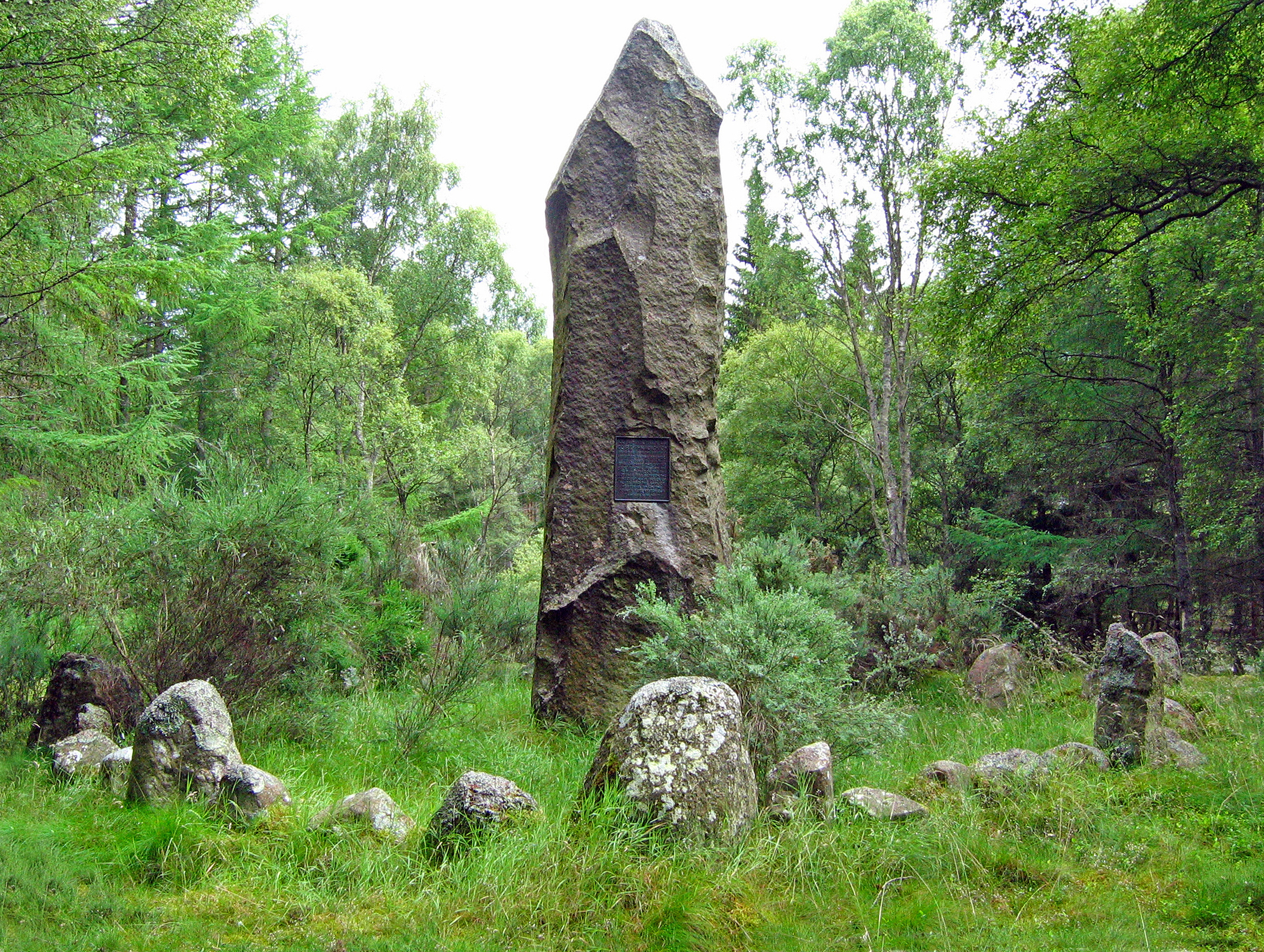
Sunhoney
Sunhoney is a stone circle of the recumbent type, which is common in the Grampian region, in particular at the River Dee. Sunhoney is situated about 2...
Nearby Amenities
Located within 500m of 57.130624,-2.4032933Have you been to Backstrip Wood?
Leave your review of Backstrip Wood below (or comments, questions and feedback).