Beirhope Moor Plantation
Wood, Forest in Roxburghshire
Scotland
Beirhope Moor Plantation
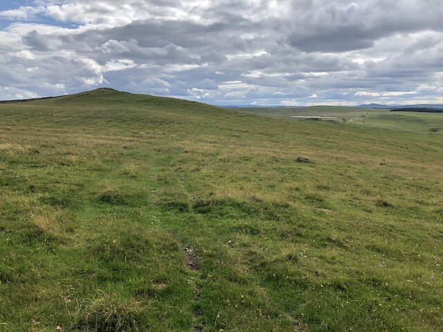
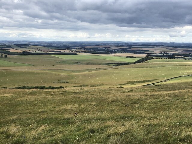
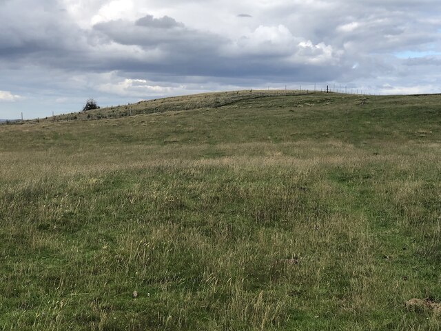
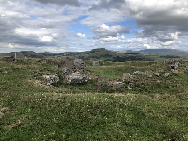
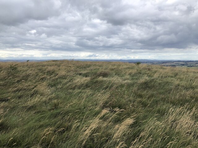
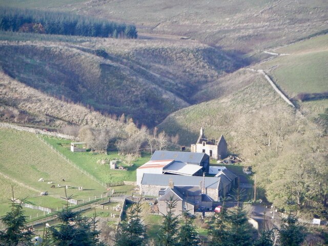
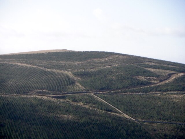
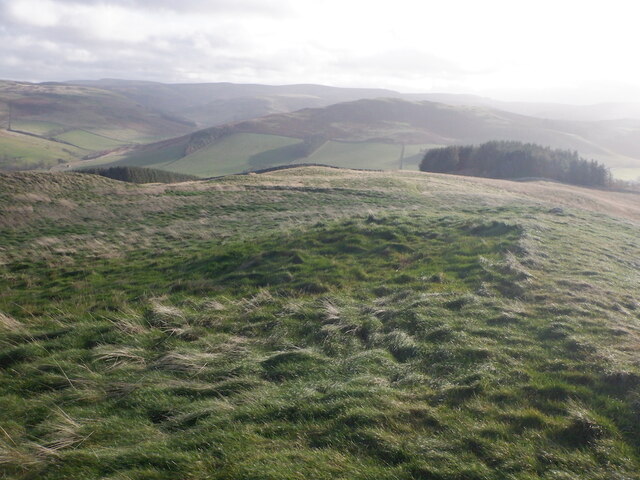
Beirhope Moor Plantation is a picturesque woodland area located in Roxburghshire, Scotland. Covering a vast area of approximately 500 hectares, it is a popular destination for nature enthusiasts and outdoor enthusiasts alike. The plantation is situated in the heart of the Scottish Borders, surrounded by rolling hills and stunning landscapes.
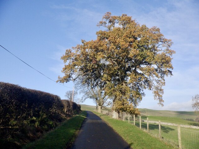
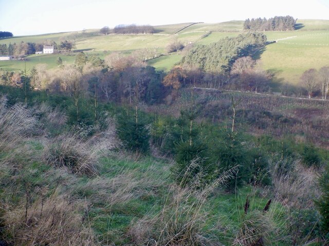
The plantation primarily consists of a mix of coniferous and broadleaf trees, creating a diverse and vibrant ecosystem. Among the trees found here are Douglas fir, Sitka spruce, Scots pine, and oak. The varied vegetation provides a habitat for a wide range of wildlife, including red squirrels, badgers, roe deer, and a myriad of bird species.
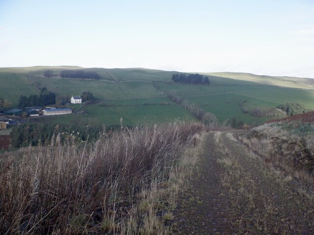
Visitors to Beirhope Moor Plantation can explore the numerous walking trails that wind their way through the woodland. These trails offer breathtaking views of the surrounding countryside and provide an opportunity to immerse oneself in the tranquility of nature. The plantation is also home to a number of picnic areas, allowing visitors to relax and enjoy a meal amidst the peaceful surroundings.
In addition to its natural beauty, Beirhope Moor Plantation is managed sustainably, with a focus on preserving and enhancing the local ecosystem. The forestry team works diligently to ensure the health and vitality of the trees, while also engaging in conservation efforts to protect the wildlife that calls this area home.
Overall, Beirhope Moor Plantation is a haven for nature lovers, offering a peaceful retreat where visitors can connect with the natural world and enjoy the beauty of the Scottish countryside.
If you have any feedback on the listing, please let us know in the comments section below.
Beirhope Moor Plantation Images
Images are sourced within 2km of 55.466159/-2.3871995 or Grid Reference NT7519. Thanks to Geograph Open Source API. All images are credited.


Beirhope Moor Plantation is located at Grid Ref: NT7519 (Lat: 55.466159, Lng: -2.3871995)
Unitary Authority: The Scottish Borders
Police Authority: The Lothians and Scottish Borders
What 3 Words
///confident.punt.maternal. Near Jedburgh, Scottish Borders
Nearby Locations
Related Wikis

Hownam
Hownam or Hounam is a small village and parish situated 8 miles east of Jedburgh in the Scottish Borders area of Scotland, near the Anglo-Scottish border...

Cessford, Scottish Borders
Cessford is a hamlet and former barony about a mile south of the B6401 road, in the Scottish Borders area of Scotland. The placename is from Gaelic 'ceis...

Cessford Castle
Cessford Castle is a large ruined mid-15th century L-plan castle near the village of Cessford, midway Jedburgh and Kelso, in the historic county of Roxburghshire...

Pennymuir Roman camps
The Pennymuir Roman camps are situated southeast of Jedburgh in the Scottish Borders area of Scotland, near the Anglo-Scottish border, in the former Roxburghshire...

Oxnam
Oxnam (Scots: Owsenam) is a village near Jedburgh, in Roxburghshire in the Scottish Borders area of Scotland. It is a primarily residential village. The...

Morebattle
Morebattle is a village in the Scottish Borders area of Scotland, on the B6401, seven miles south of Kelso, Scottish Borders, beside the Kale Water, a...

Cessford Burn
Cessford Burn is a small stream which eventually runs to meet the Kale Water and then joins the River Teviot, finally entering the River Tweed at Kelso...

Mowhaugh
Mowhaugh is a hamlet and farm steading near the Calroust Burn and the Bowmont Water, near Morebattle, in the Scottish Borders area of Scotland, and in...
Nearby Amenities
Located within 500m of 55.466159,-2.3871995Have you been to Beirhope Moor Plantation?
Leave your review of Beirhope Moor Plantation below (or comments, questions and feedback).