Bogentory Wood

Wood, Forest in Aberdeenshire

Scotland

Bogentory Wood

Weakened bridge over Corskie Burn has resulted in the closure of a minor road at Craigiedarg Looking southward.
Weakened bridge over Corskie Burn has resulted in the closure of a minor road at Craigiedarg Credit: Peter Wood

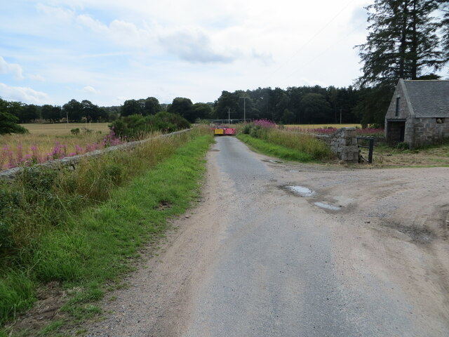
Bogentory Wood, located in Aberdeenshire, Scotland, is a picturesque forest boasting a rich biodiversity and scenic beauty. Spread over an area of approximately 200 acres, this wood is a popular destination for nature lovers and outdoor enthusiasts.

The woodland consists primarily of native tree species such as oak, birch, and rowan, which provide a dense canopy and shelter for a wide range of wildlife. The forest floor is adorned with a vibrant carpet of ferns, bluebells, and wildflowers during the spring and summer months.

Visitors to Bogentory Wood can explore its network of well-maintained trails, which wind their way through the forest, offering serene and peaceful surroundings. These trails cater to both leisurely strolls and more challenging hikes, providing options for people of all fitness levels.

The wood is also home to a plethora of wildlife, including various bird species such as woodpeckers, owls, and finches. Red squirrels, roe deer, and badgers can often be spotted among the trees, adding to the charm and natural diversity of the area.

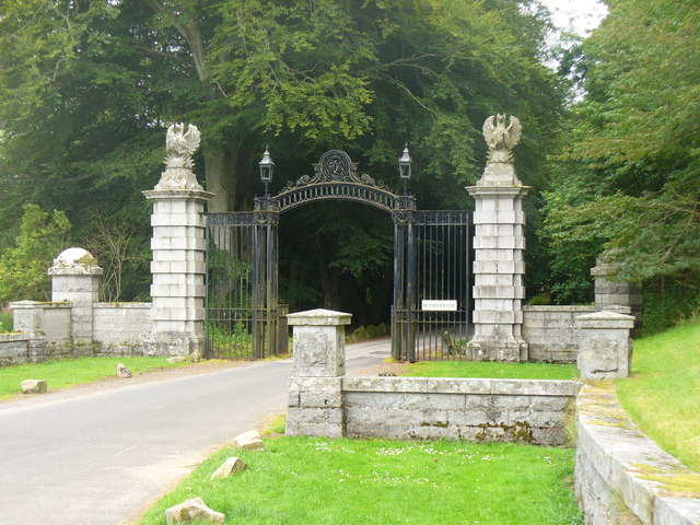
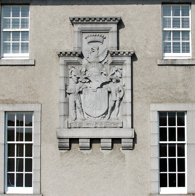
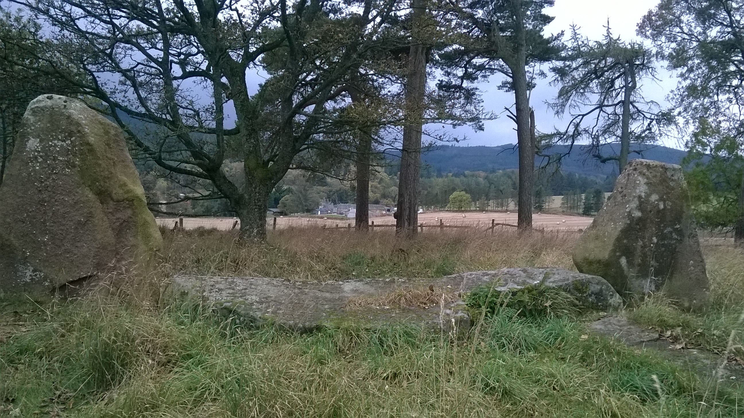
For those interested in history, Bogentory Wood holds significance as it was once part of a larger estate dating back to the 17th century. Some remnants of the original estate, including stone walls and ruins, can still be found within the wood, adding an air of historical intrigue to the surroundings.

Overall, Bogentory Wood offers a tranquil and enchanting escape into nature, providing visitors with the opportunity to immerse themselves in the beauty of Aberdeenshire's natural landscapes.

If you have any feedback on the listing, please let us know in the comments section below.

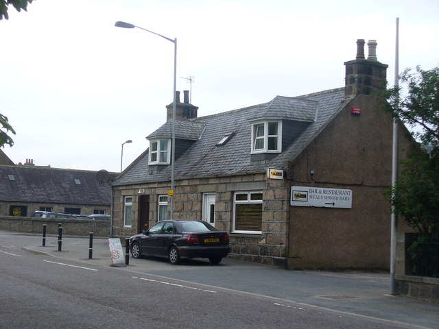
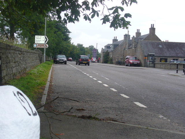
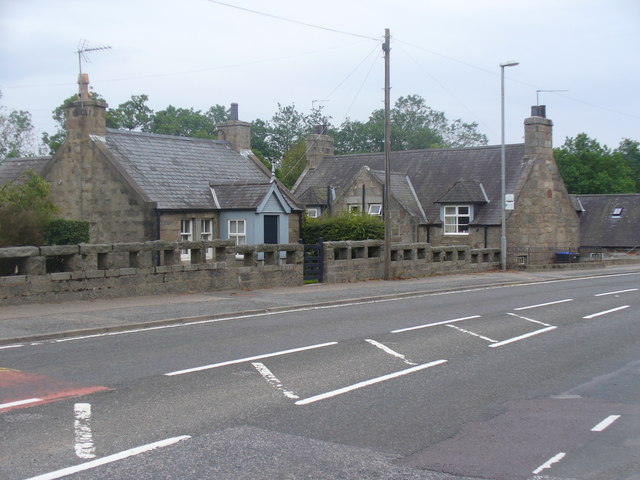
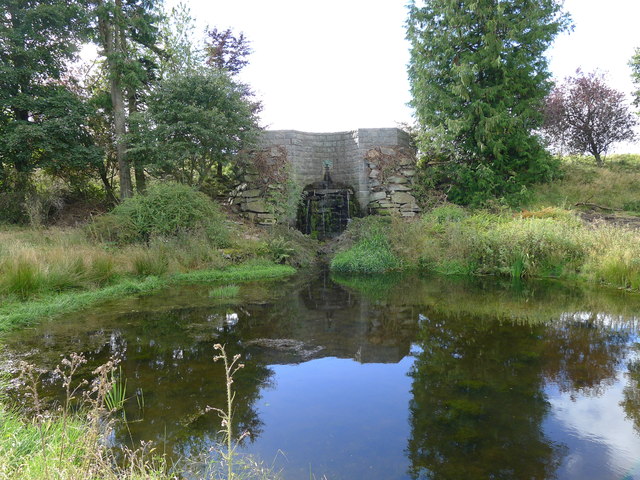
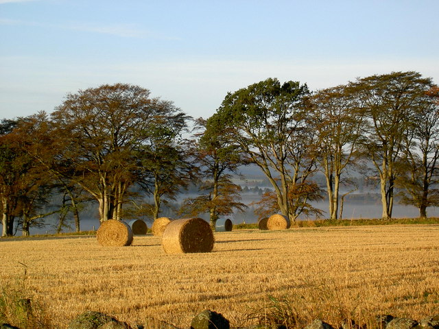
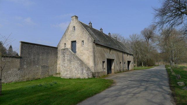
Bogentory Wood Images

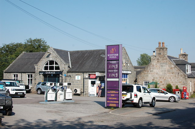
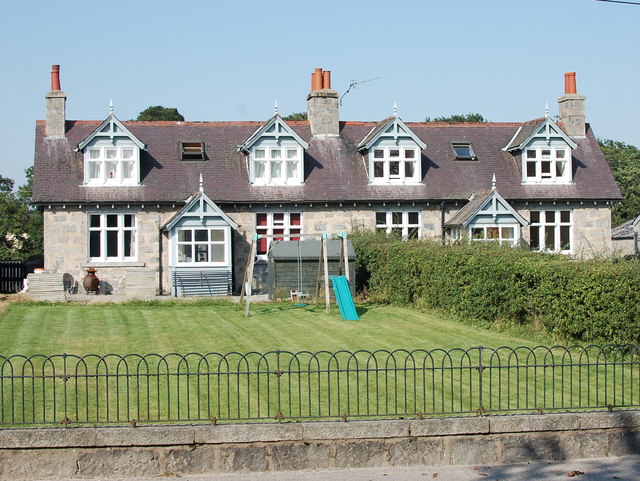
Images are sourced within 2km of 57.176324/-2.4050317 or Grid Reference NJ7509. Thanks to Geograph Open Source API. All images are credited.

Weakened bridge over Corskie Burn has resulted in the closure of a minor road at Craigiedarg Looking southward.
Weakened bridge over Corskie Burn has resulted in the closure of a minor road at Craigiedarg
Looking southward.
A sign of Irony? The western entrance to Dunecht showing a rather battered roadsign.
A sign of Irony?
The western entrance to Dunecht showing a rather battered roadsign.
Gateway at Dunecht Ornate stone gateway with wrought iron arch, Dunecht. The driveway leads, through extensive grounds, to Dunecht House.
<span class="nowrap"><a title="http://www.dunechtestates.co.uk/" rel="nofollow ugc noopener" href="http://www.dunechtestates.co.uk/">Link</a><img style="margin-left:2px;" alt="External link" title="External link - shift click to open in new window" src="https://s1.geograph.org.uk/img/external.png" width="10" height="10"/></span>
Gateway at Dunecht
Ornate stone gateway with wrought iron arch, Dunecht. The driveway leads, through extensive grounds, to Dunecht House. LinkExternal link
Jaff's, Dunecht Village bar and restaurant at Dunecht, on the Alford Road west of Aberdeen.
Jaff's, Dunecht
Village bar and restaurant at Dunecht, on the Alford Road west of Aberdeen.
Dunecht, 12 Miles From Aberdeen Milestone on the A944, Aberdeen-Alford road, at Dunecht.
Dunecht, 12 Miles From Aberdeen
Milestone on the A944, Aberdeen-Alford road, at Dunecht.
Bridgend, Dunecht The east end of the village, close to where the A944 Alford road crosses the Corskie Burn.
Bridgend, Dunecht
The east end of the village, close to where the A944 Alford road crosses the Corskie Burn.
Dunecht Estate Policy Loch dam Above and behind this dam is the man made Policy loch on the Dunecht estate. It has recently been revealed due to extensive cutting back of vegetation which partially hid it from view. The gargoyle outlet feeds a pond which in turn overflows into a stream which flows through the estate and eventually into the Loch of Skene to the east.
Dunecht Estate Policy Loch dam
Above and behind this dam is the man made Policy loch on the Dunecht estate. It has recently been revealed due to extensive cutting back of vegetation which partially hid it from view. The gargoyle outlet feeds a pond which in turn overflows into a stream which flows through the estate and eventually into the Loch of Skene to the east.
Early autumn dawn in rural Aberdeenshire Straw bales at Upper Affloch near Dunecht
Early autumn dawn in rural Aberdeenshire
Straw bales at Upper Affloch near Dunecht
Dunnecht Estate Lion's Moo Dunnecht Estate Policy Loch dam outlet faucet known locally as "the lion's moo".
Dunnecht Estate Lion's Moo
Dunnecht Estate Policy Loch dam outlet faucet known locally as "the lion's moo".
Dunnecht Estate Stable Block (c1723) This building, now converted to a store was originally a stable. The date 1723 is carved into the stonework near the roofline.
Dunnecht Estate Stable Block (c1723)
This building, now converted to a store was originally a stable. The date 1723 is carved into the stonework near the roofline.
Viscount Cowdray Arms... ...on the wall of the Dunecht Estate Offices.  We see Pearson (Per fesse indented gules and or, two suns in splendour in chief and a demi-gryphon couped, wings elevated and addorsed, in base all counterchanged) impaling Cass (Per pale argent and azure, a balance suspended between two flaunches*, each charged with a branch of palm slipped,** all counterchanged). The supporters are: Dexter, a diver holding in his exterior hand his helmet; sinister, a Mexican peon (sic), both proper (*a circular arc emerging out of each flank of the shield; **a stem or stalk).  The crest: On a wreath of the colours, in front of a demi-gryphon as in the arms, holding between the paws a millstone proper, thereon a millrind sable, a sun in splendour.  Blazons from Armorial Families by Fox-Davies.  For Viscount Cowdray, see: <span class="nowrap"><a title="https://en.wikipedia.org/wiki/Weetman_Pearson,_1st_Viscount_Cowdray" rel="nofollow ugc noopener" href="https://en.wikipedia.org/wiki/Weetman_Pearson,_1st_Viscount_Cowdray">Link</a><img style="margin-left:2px;" alt="External link" title="External link - shift click to open in new window" src="https://s1.geograph.org.uk/img/external.png" width="10" height="10"/></span> .
Viscount Cowdray Arms...
...on the wall of the Dunecht Estate Offices. We see Pearson (Per fesse indented gules and or, two suns in splendour in chief and a demi-gryphon couped, wings elevated and addorsed, in base all counterchanged) impaling Cass (Per pale argent and azure, a balance suspended between two flaunches*, each charged with a branch of palm slipped,** all counterchanged). The supporters are: Dexter, a diver holding in his exterior hand his helmet; sinister, a Mexican peon (sic), both proper (*a circular arc emerging out of each flank of the shield; **a stem or stalk). The crest: On a wreath of the colours, in front of a demi-gryphon as in the arms, holding between the paws a millstone proper, thereon a millrind sable, a sun in splendour. Blazons from Armorial Families by Fox-Davies. For Viscount Cowdray, see: LinkExternal link .
Dunecht Estate offices Note the Palladian (Venetian) window in the right-hand wing (<span class="nowrap"><a title="https://en.wikipedia.org/wiki/Palladian_architecture" rel="nofollow ugc noopener" href="https://en.wikipedia.org/wiki/Palladian_architecture">Link</a><img style="margin-left:2px;" alt="External link" title="External link - shift click to open in new window" src="https://s1.geograph.org.uk/img/external.png" width="10" height="10"/></span> ).  For more on the Dunecht Estate, see: <span class="nowrap"><a title="http://www.dunechtestates.co.uk/" rel="nofollow ugc noopener" href="http://www.dunechtestates.co.uk/">Link</a><img style="margin-left:2px;" alt="External link" title="External link - shift click to open in new window" src="https://s1.geograph.org.uk/img/external.png" width="10" height="10"/></span> .  Whether you regard it as progressive rural capitalism or neo-feudalism will probably depend on your point of view...
Dunecht Estate offices
Note the Palladian (Venetian) window in the right-hand wing (LinkExternal link ). For more on the Dunecht Estate, see: LinkExternal link . Whether you regard it as progressive rural capitalism or neo-feudalism will probably depend on your point of view...
Works yard for Dunecht Estate The maintenance base, dating from ca. 1922 (see: <span class="nowrap"><a title="http://data.historic-scotland.gov.uk/pls/htmldb/f?p=2200:15:0::::BUILDING:3143" rel="nofollow ugc noopener" href="http://data.historic-scotland.gov.uk/pls/htmldb/f?p=2200:15:0::::BUILDING:3143">Link</a><img style="margin-left:2px;" alt="External link" title="External link - shift click to open in new window" src="https://s1.geograph.org.uk/img/external.png" width="10" height="10"/></span> ) for the Dunecht Estate.
Works yard for Dunecht Estate
The maintenance base, dating from ca. 1922 (see: LinkExternal link ) for the Dunecht Estate.
Dunecht Primary School Typical granite construction...
Dunecht Primary School
Typical granite construction...
Gateway to Dunecht House B-listed from ca. 1924: <span class="nowrap"><a title="http://data.historic-scotland.gov.uk/pls/htmldb/f?p=2200:15:0::::BUILDING:3130" rel="nofollow ugc noopener" href="http://data.historic-scotland.gov.uk/pls/htmldb/f?p=2200:15:0::::BUILDING:3130">Link</a><img style="margin-left:2px;" alt="External link" title="External link - shift click to open in new window" src="https://s1.geograph.org.uk/img/external.png" width="10" height="10"/></span> .  Note the heraldic griffins on top of the gate piers.
Gateway to Dunecht House
B-listed from ca. 1924: LinkExternal link . Note the heraldic griffins on top of the gate piers.
Cottage, Dunecht A minuscule cottage facing onto the A944.  Note the unusual wall.
Cottage, Dunecht
A minuscule cottage facing onto the A944. Note the unusual wall.
Dunecht garage and village stores
Estate cottages Dating from ca. 1900 and C-listed: <span class="nowrap"><a title="http://data.historic-scotland.gov.uk/pls/htmldb/f?p=2200:15:0::::BUILDING:43" rel="nofollow ugc noopener" href="http://data.historic-scotland.gov.uk/pls/htmldb/f?p=2200:15:0::::BUILDING:43">Link</a><img style="margin-left:2px;" alt="External link" title="External link - shift click to open in new window" src="https://s1.geograph.org.uk/img/external.png" width="10" height="10"/></span> .   A prominent porch with a side-door is a characteristic feature.
Estate cottages
Dating from ca. 1900 and C-listed: LinkExternal link . A prominent porch with a side-door is a characteristic feature.
Show me another place!

Bogentory Wood is located at Grid Ref: NJ7509 (Lat: 57.176324, Lng: -2.4050317)

Unitary Authority: Aberdeenshire

Police Authority: North East

What 3 Words

///aliens.reserving.nail. Near Sauchen, Aberdeenshire

Nearby Locations

Bogentory Wood Dunecht

Related Wikis

Dunecht

Dunecht (Scottish Gaelic: Dùn Eicht) is a slightly linear village on the A944 road in north-east Aberdeenshire in Scotland. It is not to be confused with...
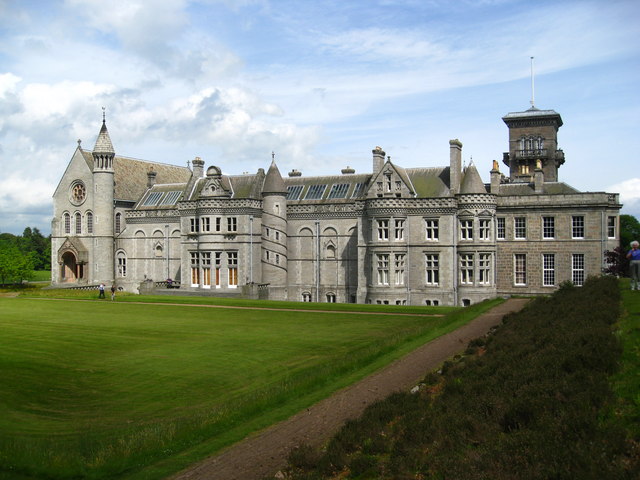
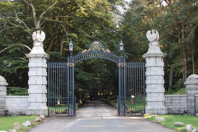
Dunecht House

Dunecht House is a stately home on the Dunecht estate in Aberdeenshire, Scotland. The house is protected as a category A listed building, and the grounds...

Dunecht estate

The Dunecht Estate is one of the largest private estates in Aberdeenshire, Scotland at 53,000 acres (210 km2). It is owned by The Hon Charles Anthony...

Loch of Skene

Loch of Skene is a large lowland, freshwater loch in Aberdeenshire, Scotland. It lies approximately 1 mi (1.6 km) to the west of the village of Kirkton...

Echt, Aberdeenshire

Echt (Scottish Gaelic: Eicht) is an Aberdeenshire crossroads village in northeast Scotland with a population of approximately 300 people. Echt has a number...

Castle Fraser

Castle Fraser is the most elaborate Z-plan castle in Scotland and one of the grandest 'Castles of Mar'. It is located near Kemnay in the Aberdeenshire...
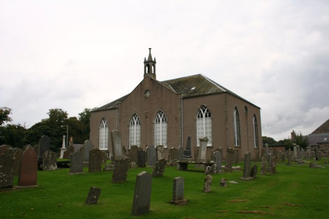
Skene Parish Church

Skene Parish Church is a congregation of the Church of Scotland in Skene, part of the Presbytery of Gordon. The parish has two places of worship, Skene...

Sunhoney

Sunhoney is a stone circle of the recumbent type, which is common in the Grampian region, in particular at the River Dee. Sunhoney is situated about 2...

Nearby Amenities

Located within 500m of 57.176324,-2.4050317
Power: pole
Lat/Long: 57.1733904/-2.4107183
Power: pole
Lat/Long: 57.1731988/-2.409588
Power: pole
Lat/Long: 57.1731179/-2.4091118
Power: pole
Lat/Long: 57.1728931/-2.4078608
Power: pole
Lat/Long: 57.1725647/-2.4067394
Power: pole
Lat/Long: 57.1722399/-2.405642
Power: pole
Lat/Long: 57.1719591/-2.4046544
Power: pole
Lat/Long: 57.1730989/-2.4084248
Power: pole
Lat/Long: 57.1730727/-2.4076106
Power: pole
Lat/Long: 57.1730525/-2.4067042
Power: pole
Lat/Long: 57.1730192/-2.4058461
Power: pole
Lat/Long: 57.1730204/-2.4049485
Power: pole
Lat/Long: 57.1729823/-2.4039368
Power: pole
Lat/Long: 57.1730275/-2.4049288
Power: pole
Lat/Long: 57.173369/-2.4049661
Power: pole
Lat/Long: 57.1778602/-2.4127862
Power: pole
Lat/Long: 57.1774843/-2.4125009
Power: pole
Lat/Long: 57.177106/-2.412209
Power: pole
Lat/Long: 57.1770478/-2.3972275
Power: pole
Lat/Long: 57.1764137/-2.3976576
Power: pole
Lat/Long: 57.1757641/-2.3980938
Power: pole
Lat/Long: 57.1753144/-2.3983791
Power: pole
Lat/Long: 57.1748879/-2.3986808
Power: pole
Lat/Long: 57.174162/-2.399068
Power: pole
Lat/Long: 57.1734405/-2.3994634
Power: pole
Lat/Long: 57.1791132/-2.4023342
Power: pole
Lat/Long: 57.1786569/-2.402485
Power: pole
Lat/Long: 57.1781918/-2.402644
Power: pole
Lat/Long: 57.1777433/-2.4028336
Power: pole
Lat/Long: 57.1773721/-2.4023362
Power: pole
Lat/Long: 57.1770329/-2.4017472
Power: pole
Lat/Long: 57.1767059/-2.401148
Power: pole
Lat/Long: 57.1762894/-2.4003735
Power: pole
Lat/Long: 57.1759789/-2.3990588
The data included in this document is from www.openstreetmap.org. The data is made available under ODbL.

Have you been to Bogentory Wood?

Leave your review of Bogentory Wood below (or comments, questions and feedback).