Baird's Covert

Wood, Forest in Berwickshire

Scotland

Baird's Covert

Farm track near Polwarth
Farm track near Polwarth Credit: Steven Brown

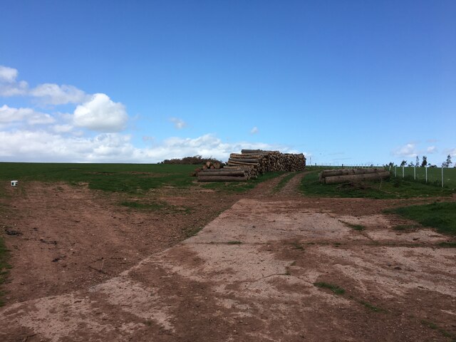
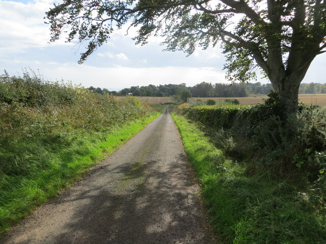
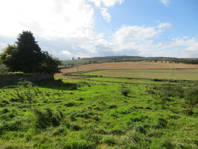
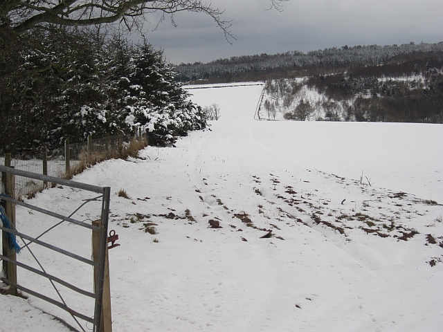
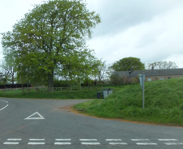
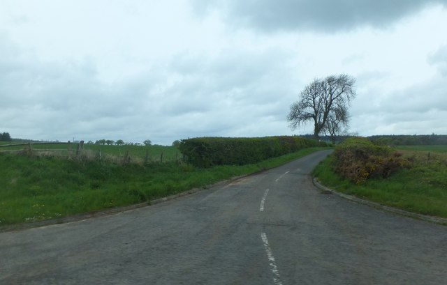
Baird's Covert is a picturesque woodland located in Berwickshire, Scotland. Nestled in the heart of the countryside, this forested area spans over several hectares, offering visitors a serene and tranquil environment to explore.

The woodland is characterized by a diverse range of tree species, including oak, beech, and birch, which create a lush and vibrant canopy overhead. The forest floor is adorned with an array of native plants and wildflowers, providing a haven for various species of wildlife.

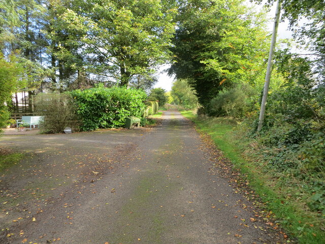
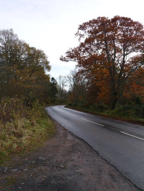
The walking trails within Baird's Covert wind their way through the forest, offering visitors the opportunity to immerse themselves in nature. Along the paths, visitors may encounter a variety of bird species, such as robins, blackbirds, and woodpeckers, as well as small mammals like squirrels and rabbits.

Baird's Covert also boasts a small pond, adding to the diversity of the ecosystem. The pond is home to several species of amphibians and aquatic insects, providing an excellent spot for nature enthusiasts to observe and learn about aquatic life.

The woodland is well-maintained, with clear signage and information boards along the trails, offering visitors insights into the local flora and fauna. Additionally, there are designated picnic areas where visitors can relax and enjoy the peaceful surroundings while indulging in a packed lunch.

Baird's Covert is a hidden gem in Berwickshire, offering a captivating blend of natural beauty, tranquility, and biodiversity. Whether one is an avid hiker, a birdwatching enthusiast, or simply seeking a peaceful escape from the bustling city, this woodland provides an idyllic setting for all nature lovers to enjoy.

If you have any feedback on the listing, please let us know in the comments section below.

Baird's Covert Images

Images are sourced within 2km of 55.762806/-2.4074104 or Grid Reference NT7452. Thanks to Geograph Open Source API. All images are credited.

Farm track near Polwarth
B6456 near its junction with the A6105
A6105 towards Duns
A6105 towards Duns
A6105 towards Greenlaw
Distressed spruce, Gavinton A lot of trees are looking to be in trouble. Disease, or the result of a long hot and dry spell.
Distressed spruce, Gavinton
A lot of trees are looking to be in trouble. Disease, or the result of a long hot and dry spell.
End of the public road at Polwarth Rhodes Looking north-eastwards.
End of the public road at Polwarth Rhodes
Looking north-eastwards.
Hedge-lined minor road between Polwarth Mill and Polwarth Looking south-eastward.
Hedge-lined minor road between Polwarth Mill and Polwarth
Looking south-eastward.
Rough pasture and arable fields at Polwarth Mill Looking south-westward.
Rough pasture and arable fields at Polwarth Mill
Looking south-westward.
New House, south west of Langton Edge
Path to Black Hill A walking route through the Black Hill wind farm to join the Southern Upland Way leaves the Duns - Lonformacus road here by the car park at Snuffy Hole.
Path to Black Hill
A walking route through the Black Hill wind farm to join the Southern Upland Way leaves the Duns - Lonformacus road here by the car park at Snuffy Hole.
B6456 The B6456 west of Choicelee.
B6456
The B6456 west of Choicelee.
View from the Hardens Hill car park The trees are now getting in the way a bit.
View from the Hardens Hill car park
The trees are now getting in the way a bit.
Hardens Plantation Old and wind sculpted trees on Hardens Hill.
Hardens Plantation
Old and wind sculpted trees on Hardens Hill.
Woodland edge After a heavy snowfall. The snow was very wet.
Woodland edge
After a heavy snowfall. The snow was very wet.
Pass, Hardens Hill The Duns to Longformacus road crosses a pass before a long descent to The Merse.
Pass, Hardens Hill
The Duns to Longformacus road crosses a pass before a long descent to The Merse.
Lodge for the former Langton House The most recent version of Langton House, which stood surrounded by the woodland in the background of the picture, was built in the 1880s, but abandoned in the 1920s and had its roof removed in the 1930s.  Some small buildings remain, along with the walled garden.
Lodge for the former Langton House
The most recent version of Langton House, which stood surrounded by the woodland in the background of the picture, was built in the 1880s, but abandoned in the 1920s and had its roof removed in the 1930s. Some small buildings remain, along with the walled garden.
Road junction for Choicelee Choicelee is alongside the A6105.  The name implies it's on good farming land, and indeed I find from old maps that there's been a farm here for at least two hundred years.
Road junction for Choicelee
Choicelee is alongside the A6105. The name implies it's on good farming land, and indeed I find from old maps that there's been a farm here for at least two hundred years.
Minor road from Polwarth Leading northward from Polwarth, joining the B6456 to Westruther near Polwarth Mill.  Comparing with <a href="https://www.geograph.org.uk/photo/840094">NT7450 : Country Road near Polwarth</a>, the only change in five years seems to be that the white line has worn away a bit!  The tree in my picture has a bit of catching-up to do in the next twelve days to look as verdant as it did on 10th June 2008 - this has been a very late spring: there's still some snow on The Cheviot.
Minor road from Polwarth
Leading northward from Polwarth, joining the B6456 to Westruther near Polwarth Mill. Comparing with NT7450 : Country Road near Polwarth, the only change in five years seems to be that the white line has worn away a bit! The tree in my picture has a bit of catching-up to do in the next twelve days to look as verdant as it did on 10th June 2008 - this has been a very late spring: there's still some snow on The Cheviot.
Show me another place!

Baird's Covert is located at Grid Ref: NT7452 (Lat: 55.762806, Lng: -2.4074104)

Unitary Authority: The Scottish Borders

Police Authority: The Lothians and Scottish Borders

What 3 Words

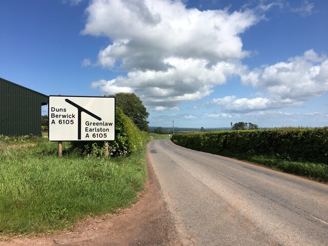
///rushed.survey.scanty. Near Duns, Scottish Borders

Related Wikis

Berwickshire, Roxburgh and Selkirk (UK Parliament constituency)

Berwickshire, Roxburgh and Selkirk is a constituency of the British House of Commons, located in the south of Scotland within the Scottish Borders council...

Langton Castle

Langton Castle is a now destroyed medieval fortress at Langton, near the burgh of Duns, Berwickshire, Scotland. Little remains of the structure. ��2�...

Polwarth, Scottish Borders

Polwarth (Scots: Polart) is a village and parish in the Scottish Borders area of Scotland. It is located at grid reference NT745502, between Greenlaw and...

Polwarth Castle

Polwarth Castle was a castle, located near Polwarth, Scottish Borders in Scotland. == History == Held by the Polwarth family it passed by marriage of Elizabeth...

Gavinton

Gavinton is a small settlement in the Scottish Borders area of Scotland, 2 kilometres (1.2 mi) south-west of Duns, the former county town of Berwickshire...

Polwarth Parish Church

Polwarth Parish Church was a member church (Scots: kirk) of the Church of Scotland before closing in 2004. It is situated atop a mound off a minor...

Borthwick Castle, Scottish Borders

Borthwick Castle, Scottish Borders was a 16th-century L-plan tower house, about 1 mile (1.6 km) north west of Duns, Scottish Borders, Scotland. == History... ==

Marchmont railway station

Marchmont railway station served the estate of Marchmont, Scottish Borders, Scotland from 1863 to 1948 on the North British Railway. == History == The...

Have you been to Baird's Covert?

Leave your review of Baird's Covert below (or comments, questions and feedback).