Scrogie Wood

Wood, Forest in Berwickshire

Scotland

Scrogie Wood

Ellemford Viewed from Ellemford Bridge.
Plenty of sheep!
Ellemford Credit: Russel Wills

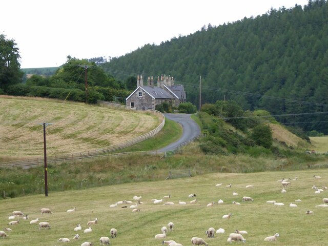
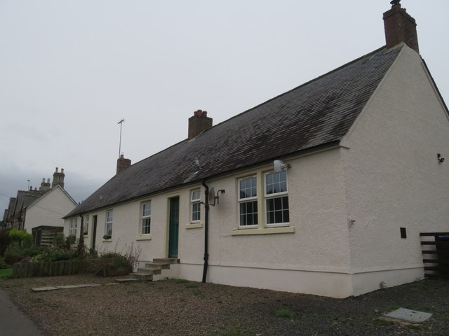
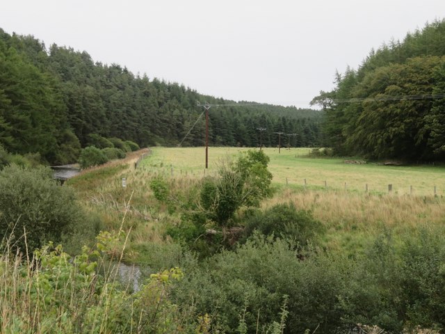
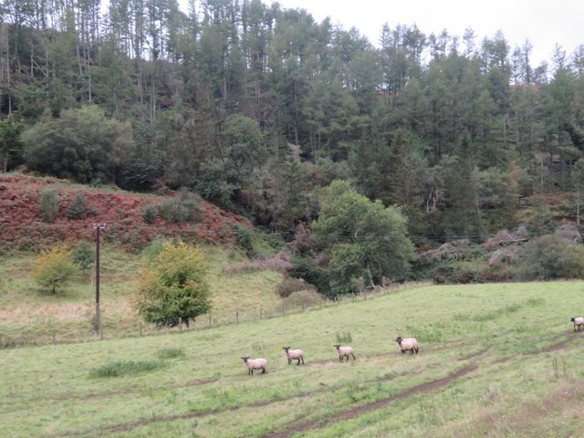
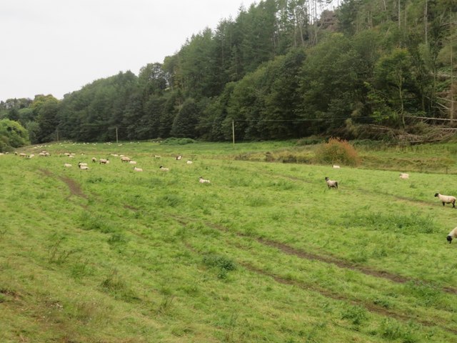
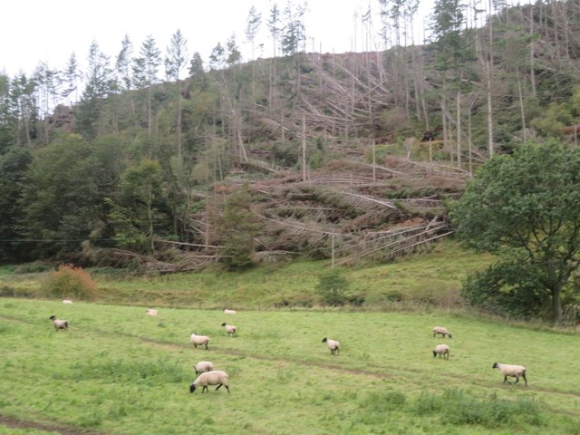
Scrogie Wood is a picturesque forest located in the region of Berwickshire, Scotland. Covering an area of approximately 100 hectares, the wood is a haven for nature lovers and outdoor enthusiasts. It is situated just a few miles east of the town of Duns and is easily accessible from the A6105 road.

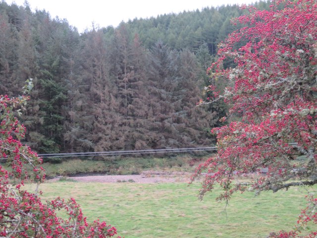
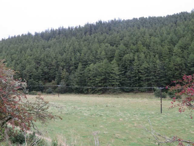
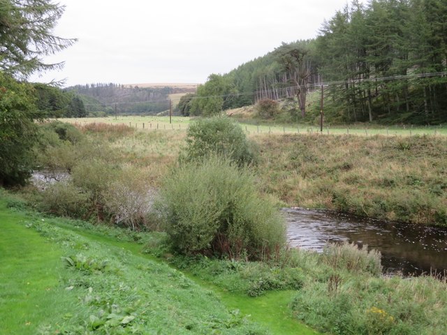
The wood is primarily composed of native broadleaf trees, such as oak, ash, and birch, which create a diverse and vibrant ecosystem. There are also coniferous plantations, including pine and spruce, providing a mix of habitats for various species of plants and animals.

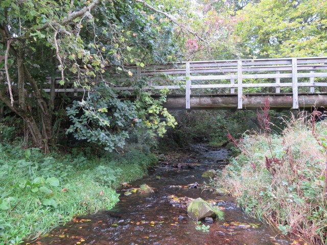
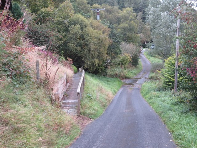
Scrogie Wood is known for its network of well-maintained walking trails, offering visitors the opportunity to explore its natural beauty. The paths wind through the wood, meandering through enchanting woodland glades and alongside babbling brooks. The forest floor is adorned with a carpet of wildflowers during the spring and summer months, creating a colorful spectacle.

The wood is home to a rich variety of wildlife. Visitors may spot roe deer, squirrels, and badgers as they wander through the trees. Birdwatchers will delight in the presence of numerous species, including woodpeckers, owls, and various songbirds.

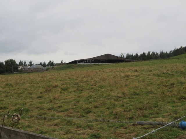
Scrogie Wood is managed by a local conservation organization, which ensures the preservation of the forest's natural heritage. The organization also organizes educational activities and events to promote environmental awareness and appreciation for the wood's unique ecosystem.

Overall, Scrogie Wood offers a peaceful retreat where visitors can immerse themselves in the beauty of nature and enjoy the tranquility of the Scottish countryside.

If you have any feedback on the listing, please let us know in the comments section below.

Scrogie Wood Images

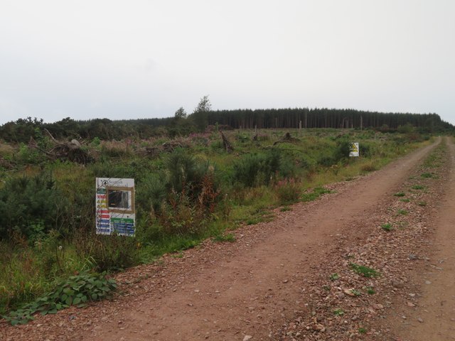
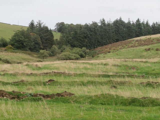
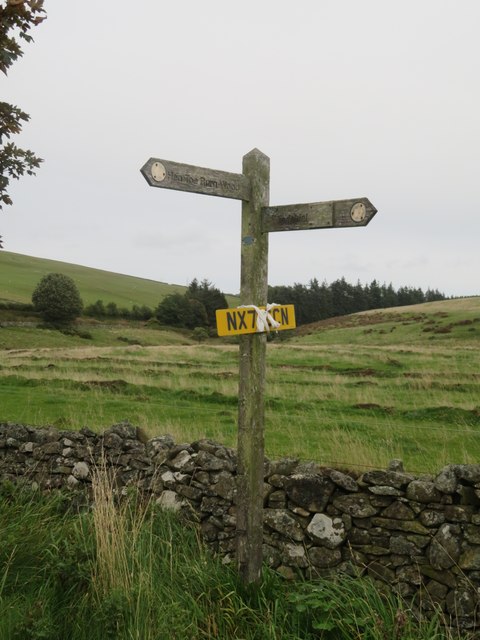
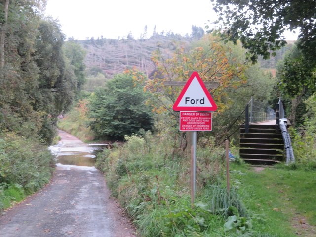
Images are sourced within 2km of 55.847258/-2.4097791 or Grid Reference NT7461. Thanks to Geograph Open Source API. All images are credited.

Ellemford Viewed from Ellemford Bridge.
Plenty of sheep!
Ellemford
Viewed from Ellemford Bridge. Plenty of sheep!
Ellemford farm The farm buildings, beyond a rough grass field.
Ellemford farm
The farm buildings, beyond a rough grass field.
Roughside Wood, Ellemford On the east side of the Whiteadder Water. Looking between two roadside Hawthorns.
Roughside Wood, Ellemford
On the east side of the Whiteadder Water. Looking between two roadside Hawthorns.
Pasture by the Whiteadder Water With the coniferous Roughside Wood across the river.
Pasture by the Whiteadder Water
With the coniferous Roughside Wood across the river.
5 & 6 Ellemford Cottages  On the road to Greenhope. Nos 1-5 are beyond.
5 & 6 Ellemford Cottages
On the road to Greenhope. Nos 1-5 are beyond.
The Whiteadder Water at Greenhope Looking across LT power lines to Roughside Wood.
The Whiteadder Water at Greenhope
Looking across LT power lines to Roughside Wood.
Footbridge over Greenhope Burn Looking upstream from the ford <a href="https://www.geograph.org.uk/photo/7611541">NT7361 : Footpath and ford at Greenhope</a>, just a few metres before the burn joins the Whiteadder Water.
Footbridge over Greenhope Burn
Looking upstream from the ford NT7361 : Footpath and ford at Greenhope, just a few metres before the burn joins the Whiteadder Water.
Footpath and ford at Greenhope The path leads to the footbridge across the Greenhope Burn <a href="https://www.geograph.org.uk/photo/7611533">NT7361 : Footbridge over Greenhope Burn</a>.
Footpath and ford at Greenhope
The path leads to the footbridge across the Greenhope Burn NT7361 : Footbridge over Greenhope Burn.
The valley of the Whiteadder Water at Greenhope With Greenhope Wood on the left and Roughside Wood on the right.
The valley of the Whiteadder Water at Greenhope
With Greenhope Wood on the left and Roughside Wood on the right.
Sheep pasture near Abbey St Bathans By the Monynut Water, with Millbrae Wood beyond.
Sheep pasture near Abbey St Bathans
By the Monynut Water, with Millbrae Wood beyond.
Pasture by the Monynut Water With the Millbrae Wood conifer plantation across the river.
Pasture by the Monynut Water
With the Millbrae Wood conifer plantation across the river.
Windthrow in Millbrae Wood Storm damage by the Monynut Burn.
Windthrow in Millbrae Wood
Storm damage by the Monynut Burn.
Forestry track to Hen Toe Burn Wood Information notice about forestry operations; a large area is being cleared.
Forestry track to Hen Toe Burn Wood
Information notice about forestry operations; a large area is being cleared.
The valley of Eller Burn The rough grassland in the foreground has been deeply ploughed with a single furrow at wide intervals - possibly to alter drainage?
The valley of Eller Burn
The rough grassland in the foreground has been deeply ploughed with a single furrow at wide intervals - possibly to alter drainage?
Footpath sign near Hen Toe Bridge A Duns footpath - left to Hen Toe Burn Wood and right to Windshiel. And a found number plate to be retrieved.
Footpath sign near Hen Toe Bridge
A Duns footpath - left to Hen Toe Burn Wood and right to Windshiel. And a found number plate to be retrieved.
Ford and footbridge at Abbey St Bathans Crossing the Otter Burn.
Ford and footbridge at Abbey St Bathans
Crossing the Otter Burn.
Ford at Abbey St Bathans With a footbridge, crossing the Otter Burn.
Ford at Abbey St Bathans
With a footbridge, crossing the Otter Burn.
Bramble leaves with rust There are two species of fungus that infect Bramble leaves [Rubus fruticosus]. Spore details are needed to distinguish them. The leaf I collected did not make it home, so it has to be Phragmidium sp. On a trackside near Hen Toe Burn Wood, Abbey St Bathans.
Bramble leaves with rust
There are two species of fungus that infect Bramble leaves [Rubus fruticosus]. Spore details are needed to distinguish them. The leaf I collected did not make it home, so it has to be Phragmidium sp. On a trackside near Hen Toe Burn Wood, Abbey St Bathans.
Show me another place!

Scrogie Wood is located at Grid Ref: NT7461 (Lat: 55.847258, Lng: -2.4097791)

Unitary Authority: The Scottish Borders

Police Authority: The Lothians and Scottish Borders

What 3 Words

///discount.reputable.encoding. Near Duns, Scottish Borders

Related Wikis

Abbey St Bathans

Abbey St Bathans (Scottish Gaelic: Abaid Bhaoithin) is a parish in the Lammermuir district of Berwickshire, in the eastern part of the Scottish Borders...

Cockburn Tower

Cockburn Tower was a small fortified house in Berwickshire, Scotland. Now little more than the outline of a foundation, it occupied a site on the southern...

Dye Water

The Dye Water (Scottish Gaelic: Uisge DhĂ idh) is a river in the Lammermuir Hills in the Scottish Borders area of Scotland. It rises in the Hope Hills,...

Bothwell Water

The Bothwell Water is a river in the Scottish Borders area of Scotland. It rises in the Lammermuir Hills near Caldercleugh and continues past the Upper...

Nearby Amenities

Located within 500m of 55.847258,-2.4097791
Barnside
Place: locality
Lat/Long: 55.8484443/-2.4036074
Power: pole
Lat/Long: 55.8460878/-2.4023655
Power: pole
Lat/Long: 55.8459294/-2.4031713
Power: pole
Lat/Long: 55.845781/-2.4039695
Power: pole
Lat/Long: 55.8453856/-2.4060007
Power: pole
Lat/Long: 55.8451773/-2.4070582
Power: pole
Lat/Long: 55.8449717/-2.4081361
Power: pole
Lat/Long: 55.8447905/-2.4091555
Power: pole
Lat/Long: 55.8449303/-2.4105435
Power: pole
Lat/Long: 55.8450873/-2.4119213
Power: pole
Lat/Long: 55.8452244/-2.4132661
Power: pole
Lat/Long: 55.8453799/-2.4146541
Power: pole
Lat/Long: 55.8455255/-2.416032
The data included in this document is from www.openstreetmap.org. The data is made available under ODbL.

Have you been to Scrogie Wood?

Leave your review of Scrogie Wood below (or comments, questions and feedback).