Denwood Belt
Wood, Forest in Kincardineshire
Scotland
Denwood Belt
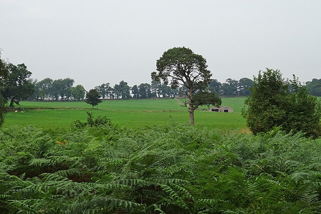
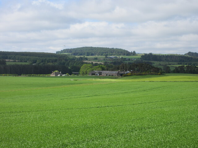
Denwood Belt is a picturesque woodland area located in the region of Kincardineshire, Scotland. Spanning over a vast expanse of land, this woodland is renowned for its natural beauty and diverse ecosystem. With an approximate area of several square kilometers, Denwood Belt is a popular destination for nature enthusiasts, hikers, and wildlife lovers.
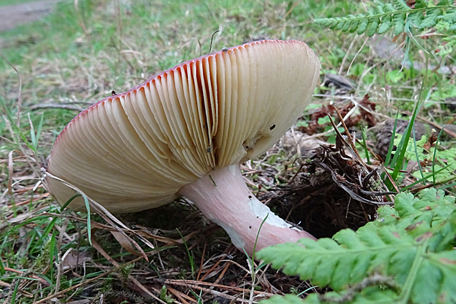
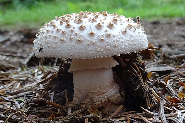
The woodland is predominantly comprised of native tree species, including oak, birch, and pine, which create a dense canopy overhead. These trees provide a haven for a wide variety of flora and fauna, making it an ideal habitat for numerous species of birds, mammals, and insects. The rich biodiversity of Denwood Belt is evident in the presence of rare and protected species such as red squirrels, roe deer, and various types of orchids.
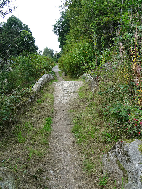
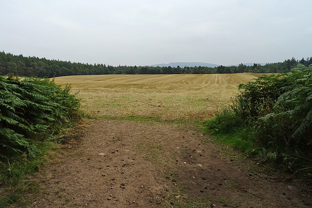
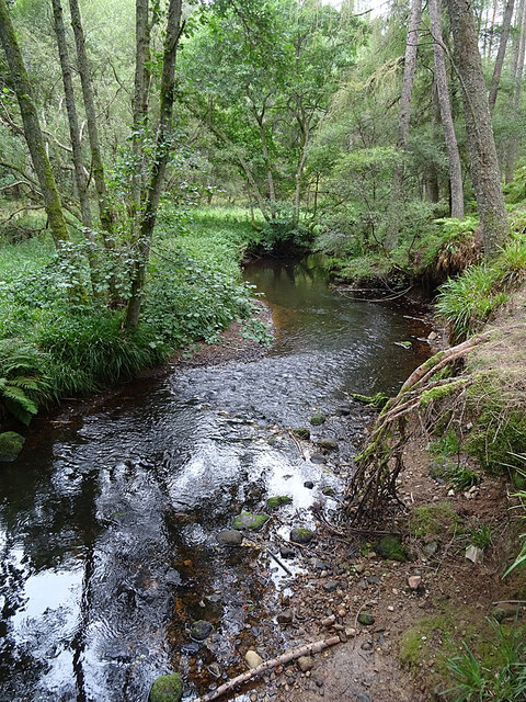
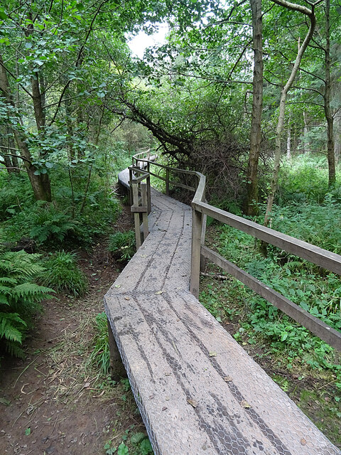
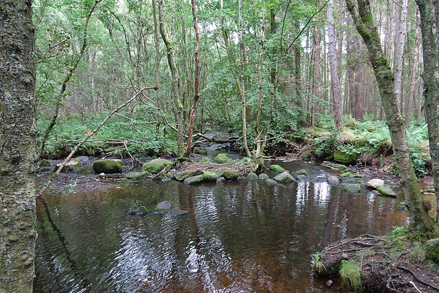
The woodland boasts an extensive network of well-maintained trails and footpaths, allowing visitors to explore its beauty while enjoying a leisurely stroll or a more challenging hike. These paths wind through the dense vegetation, revealing breathtaking vistas, tranquil streams, and hidden clearings along the way. The serenity and natural charm of Denwood Belt make it an excellent spot for relaxation, meditation, or simply immersing oneself in nature.
In addition to its recreational value, Denwood Belt also serves as an important carbon sink, playing a crucial role in mitigating climate change by absorbing carbon dioxide from the atmosphere. It is actively managed by local conservation organizations and forestry professionals to ensure its preservation and sustainable use.
Overall, Denwood Belt is a captivating woodland that offers a unique opportunity to experience the beauty of Scotland's natural landscapes. With its rich biodiversity, stunning scenery, and recreational opportunities, it is a must-visit destination for anyone seeking solace in nature.
If you have any feedback on the listing, please let us know in the comments section below.
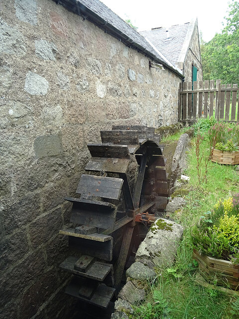
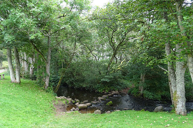
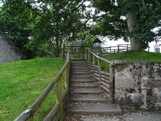
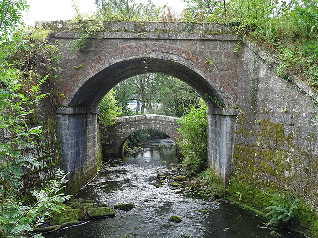
Denwood Belt Images
Images are sourced within 2km of 57.065268/-2.4311941 or Grid Reference NO7397. Thanks to Geograph Open Source API. All images are credited.
Denwood Belt is located at Grid Ref: NO7397 (Lat: 57.065268, Lng: -2.4311941)
Unitary Authority: Aberdeenshire
Police Authority: North East
What 3 Words
///improving.interrupt.meanwhile. Near Banchory, Aberdeenshire
Nearby Locations
Related Wikis
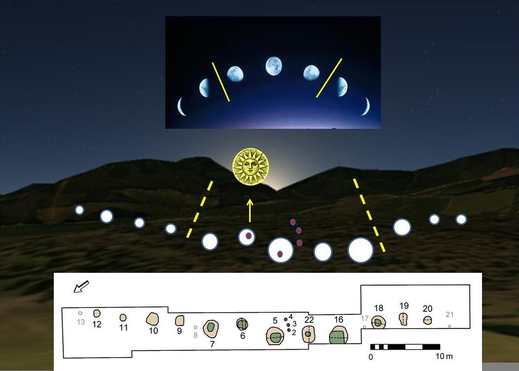
Warren Field
Warren Field is the location of a mesolithic calendar monument built about 8,000 BCE. It includes 12 pits believed to correlate with phases of the Moon...

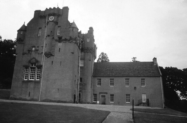
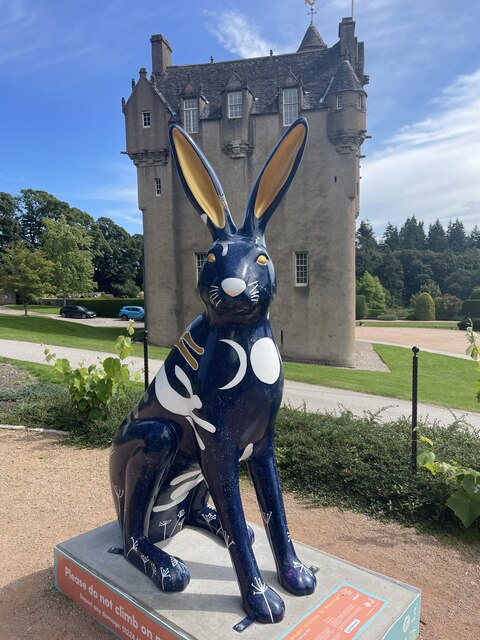
Crathes Castle
Crathes Castle (pronounced KRATH-iss) is a castle, built in the 16th-century, near Banchory in Aberdeenshire, Scotland. It is in the historic county of...

Royal Deeside Railway
The Royal Deeside Railway is a Scottish heritage railway located at Milton of Crathes railway station on a part of the original Deeside Railway. ��2�...

Milton of Crathes railway station
Milton of Crathes railway station is located at Milton of Crathes, three miles east of Banchory, Royal Deeside, Aberdeenshire, Scotland, United Kingdom...

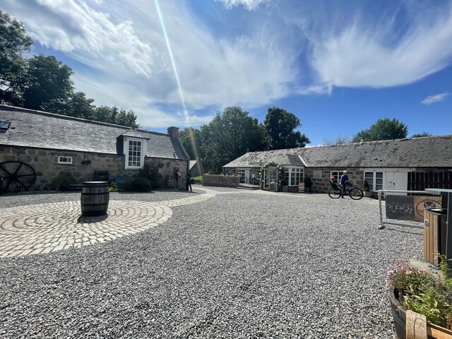
Milton of Crathes
Milton of Crathes is a complex of restored 17th-century stone buildings, associated with, and previously an outlier of, Crathes Castle in Aberdeenshire...

Banchory St Ternan F.C.
Banchory St. Ternan Football Club are a Scottish Junior football club based in Crathes, two miles outside the town of Banchory, Aberdeenshire. The club...

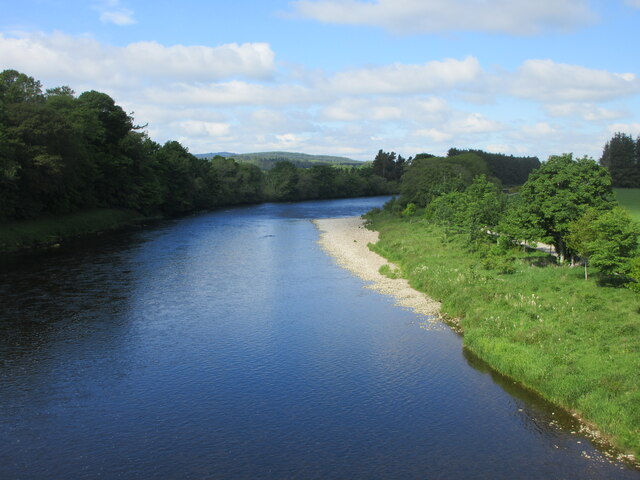
Coy Burn
Coy Burn is a stream that rises in the hills north of Banchory in Aberdeenshire, Scotland. Coy Burn discharges to the River Dee at Milton of Crathes....
Mills of Drum railway station
Mills of Drum railway station was opened in September 1853 by the Deeside Railway and served the rural area around Park House and Crathes estates at the...
Nearby Amenities
Located within 500m of 57.065268,-2.4311941Have you been to Denwood Belt?
Leave your review of Denwood Belt below (or comments, questions and feedback).