Crossden Plantation

Wood, Forest in Kincardineshire

Scotland

Crossden Plantation

Field by Auchenblae A new pipeline is being laid beside the road here.
Field by Auchenblae Credit: Richard Webb

The requested URL returned error: 429 Too Many Requests

If you have any feedback on the listing, please let us know in the comments section below.

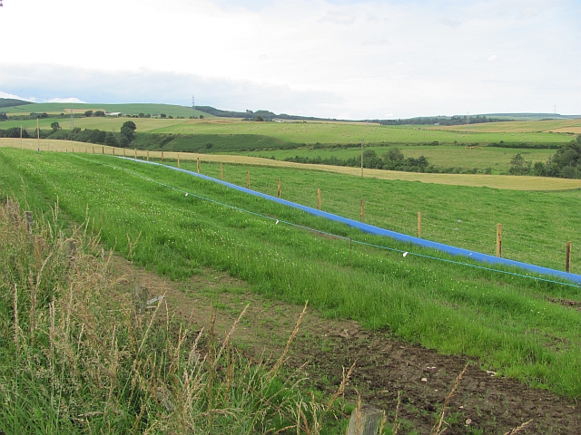
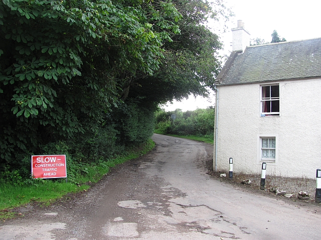
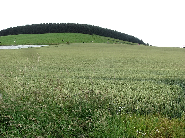
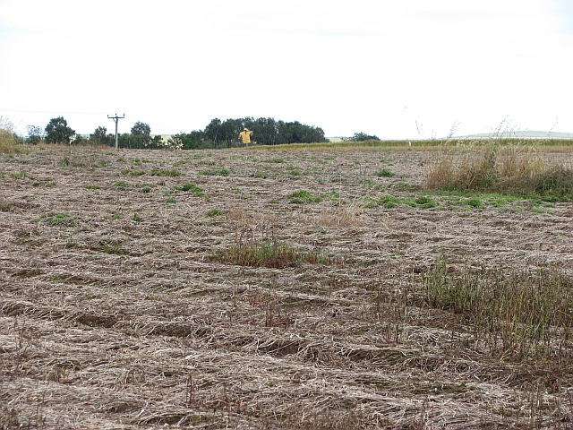
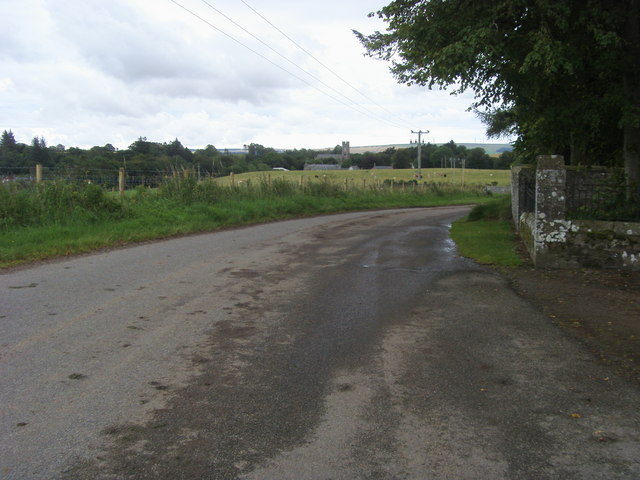
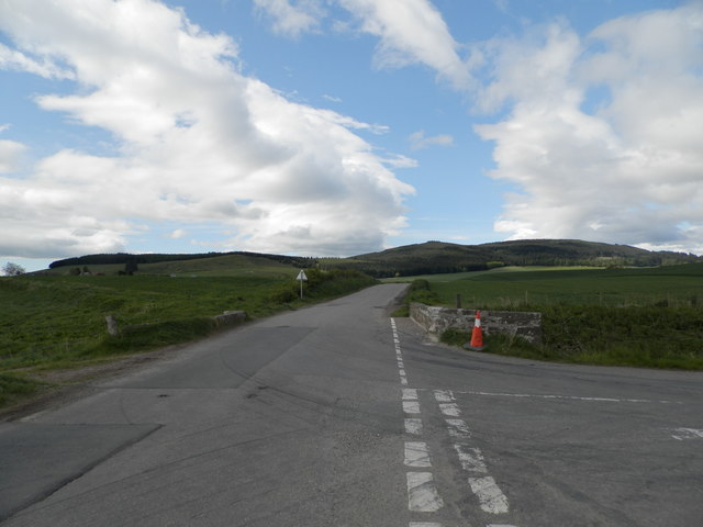
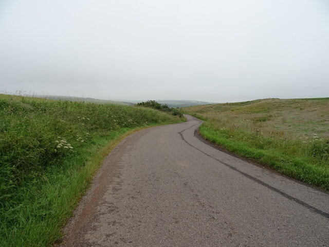
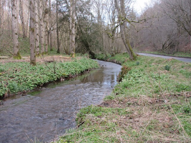
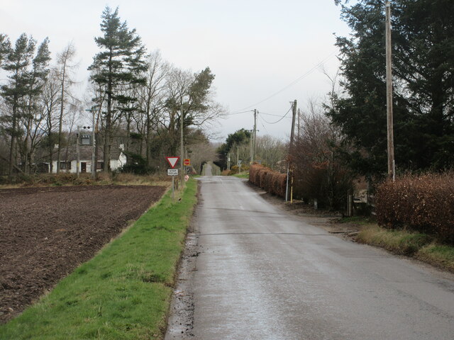
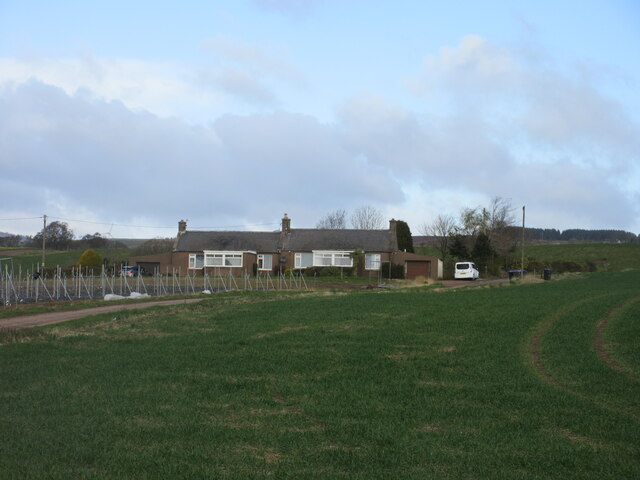
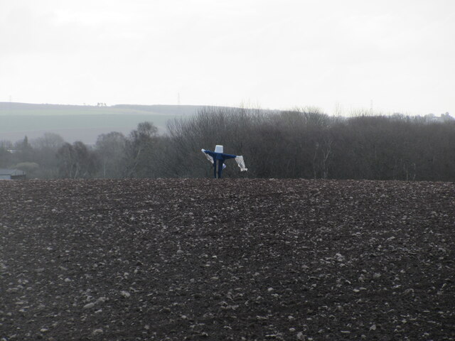
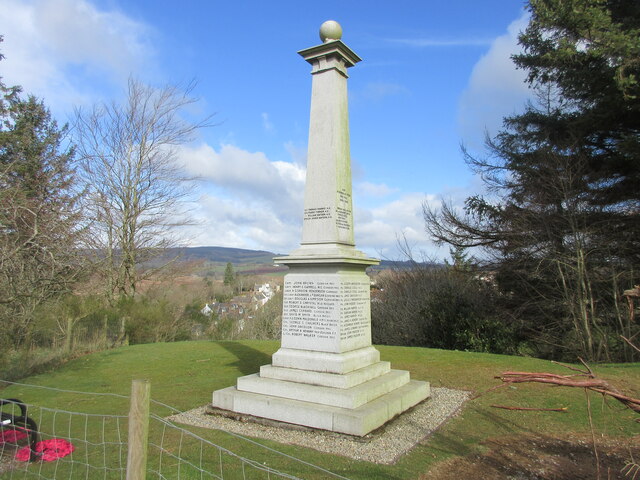
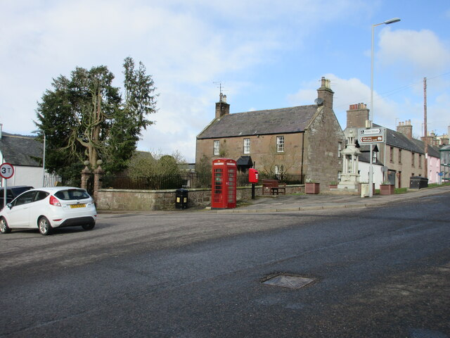
Crossden Plantation Images

Images are sourced within 2km of 56.896016/-2.4328198 or Grid Reference NO7378. Thanks to Geograph Open Source API. All images are credited.

Field by Auchenblae A new pipeline is being laid beside the road here.
Field by Auchenblae
A new pipeline is being laid beside the road here.
Road into Auchenblae Warning of pipeline construction traffic.
Road into Auchenblae
Warning of pipeline construction traffic.
Wheat field by Auchenblae Nearby they are ploughing this year's stubble but this field has yet to turn from green.
Wheat field by Auchenblae
Nearby they are ploughing this year's stubble but this field has yet to turn from green.
Field by Auchenblae Field with a scarecrow.
Field by Auchenblae
Field with a scarecrow.
Looking to Auchenblae church From the cemetery looking to Auchenblae church
Looking to Auchenblae church
From the cemetery looking to Auchenblae church
Burnmouth Brig over Burnie Shag
Field above the Glenbervie Road
Glenbervie Road From Kinkell towards Glenbervie.
Glenbervie Road
From Kinkell towards Glenbervie.
Luther Water The Luther Water on the west side of the road heading north into Auchenblae.
Luther Water
The Luther Water on the west side of the road heading north into Auchenblae.
Heading to Crossroads Minor road heading northwards to the B966 at Crossroads.
Heading to Crossroads
Minor road heading northwards to the B966 at Crossroads.
Cushnie Farm Cottages Cottages at the entrance drive to Cushnie, viewed from the south-east.
Cushnie Farm Cottages
Cottages at the entrance drive to Cushnie, viewed from the south-east.
Scarecrow at Bankhead Rudimentary scarecrow in a field to the east of Bankhead.
Scarecrow at Bankhead
Rudimentary scarecrow in a field to the east of Bankhead.
Fordoun War Memorial Fordoun War Memorial on Gilbert's Hill overlooking Auchenblae from the south.
Fordoun War Memorial
Fordoun War Memorial on Gilbert's Hill overlooking Auchenblae from the south.
Former telephone box in Auchenblae Red telephone box now housing a defibrillator in the centre of Auchenblae.
Former telephone box in Auchenblae
Red telephone box now housing a defibrillator in the centre of Auchenblae.
Rivet benchmark, Auchenblae Church Ordnance Survey rivet benchmark. For database entry, see <span class="nowrap"><a title="https://www.bench-marks.org.uk/bm192328" rel="nofollow ugc noopener" href="https://www.bench-marks.org.uk/bm192328">Link</a><img style="margin-left:2px;" alt="External link" title="External link - shift click to open in new window" src="https://s1.geograph.org.uk/img/external.png" width="10" height="10"/></span>.
Rivet benchmark, Auchenblae Church
Ordnance Survey rivet benchmark. For database entry, see LinkExternal link.
Auchenblae Cemetery The countryside cemetery west of Auchenblae, looking westwards.
Auchenblae Cemetery
The countryside cemetery west of Auchenblae, looking westwards.
Cairnton near Laurencekirk
Auchenblae Village Hall
Show me another place!

Crossden Plantation is located at Grid Ref: NO7378 (Lat: 56.896016, Lng: -2.4328198)

Unitary Authority: Aberdeenshire

Police Authority: North East

What 3 Words

///fully.catapult.solder. Near Laurencekirk, Aberdeenshire

Nearby Locations

Crossden Plantation

Related Wikis

Auchinblae distillery

Auchenblae distillery was a scotch whisky distillery in Auchenblae, Kincardine, Aberdeenshire, Scotland. == History == The distillery was created in 1895...

Fordoun Stone

The Fordoun Stone is a class II Pictish cross slab in Fordoun parish church, Auchenblae, Aberdeenshire, Scotland. == Description == A slab of Old Red Sandstone...

Auchenblae

Auchenblae (, Scottish Gaelic: Achadh nam Blàth) is a village in the Kincardine and Mearns area of Aberdeenshire, formerly in Kincardineshire, Scotland...

Fordoun railway station

Fordoun railway station served the village of Fordoun, Aberdeenshire, Scotland from 1849 to 1956 on the Aberdeen Railway. == History == The station opened...

Nearby Amenities

Located within 500m of 56.896016,-2.4328198
Power: pole
Lat/Long: 56.8967349/-2.4247471
Power: pole
Lat/Long: 56.896248/-2.4259559
Power: pole
Lat/Long: 56.8959681/-2.426639
Power: pole
Lat/Long: 56.8956435/-2.427453
Power: pole
Lat/Long: 56.8953576/-2.4281606
Power: pole
Lat/Long: 56.8950899/-2.4288504
Power: pole
Lat/Long: 56.8943764/-2.4281938
Power: pole
Lat/Long: 56.8938094/-2.4276793
Power: pole
Lat/Long: 56.8932255/-2.4271536
Power: pole
Lat/Long: 56.8996082/-2.4324413
Power: pole
Lat/Long: 56.9000757/-2.4326542
The data included in this document is from www.openstreetmap.org. The data is made available under ODbL.

Have you been to Crossden Plantation?

Leave your review of Crossden Plantation below (or comments, questions and feedback).