Glenhead Wood
Wood, Forest in Kincardineshire
Scotland
Glenhead Wood
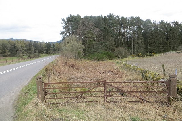
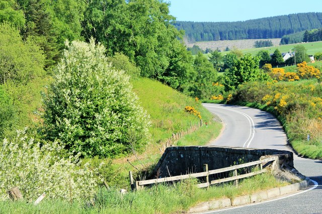
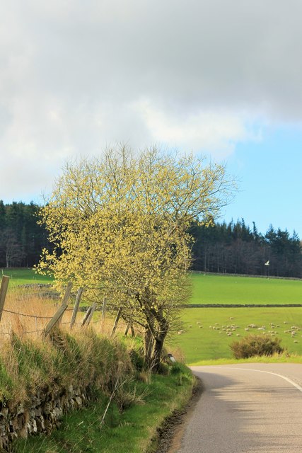
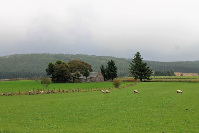
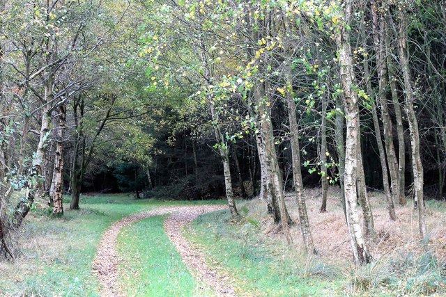
Glenhead Wood is a picturesque woodland located in Kincardineshire, Scotland. Situated near the village of Glenbervie, the wood covers an area of approximately 200 acres. It is a well-preserved and diverse forest, boasting a range of native tree species that create a vibrant and enchanting atmosphere.
The wood is primarily composed of deciduous trees, such as oak, birch, and beech, which provide a lush canopy during the summer months. These trees also offer a vibrant display of colors in the autumn, attracting many visitors who come to witness the beautiful foliage. Additionally, there are areas of coniferous trees, including pine and spruce, which add to the overall diversity of the woodland.
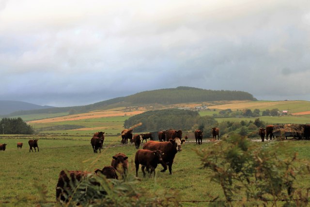
Walking through Glenhead Wood, one can enjoy a variety of trails and paths that meander through the forest, providing opportunities for leisurely strolls or more challenging hikes. The wood is also home to a diverse array of wildlife, including red squirrels, roe deer, and a variety of bird species. Birdwatchers can often spot species like woodpeckers, owls, and buzzards.
The wood is managed by the local authorities, who work to maintain the natural beauty and ecological balance of the area. Visitors are encouraged to respect the woodland and adhere to the designated paths to help preserve the delicate ecosystem.
Overall, Glenhead Wood is a natural treasure in Kincardineshire, offering visitors a serene and tranquil escape into nature. Its diverse flora and fauna, combined with the well-maintained trails, make it a popular destination for nature enthusiasts and those seeking a peaceful retreat.
If you have any feedback on the listing, please let us know in the comments section below.
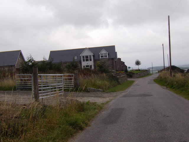
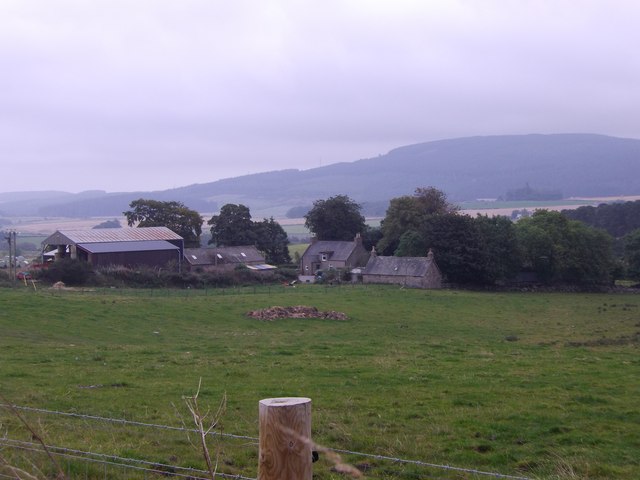
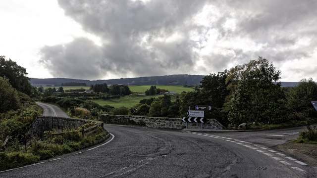
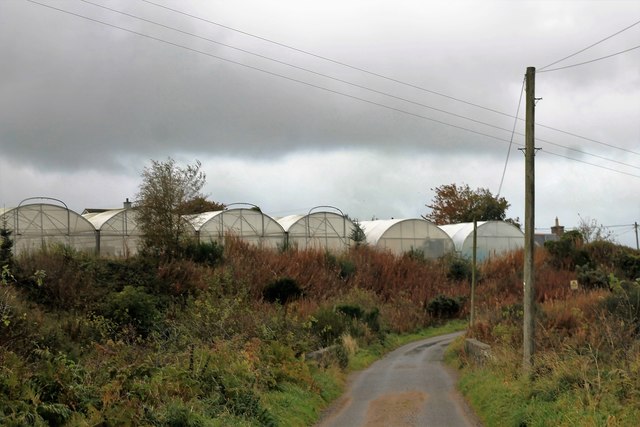
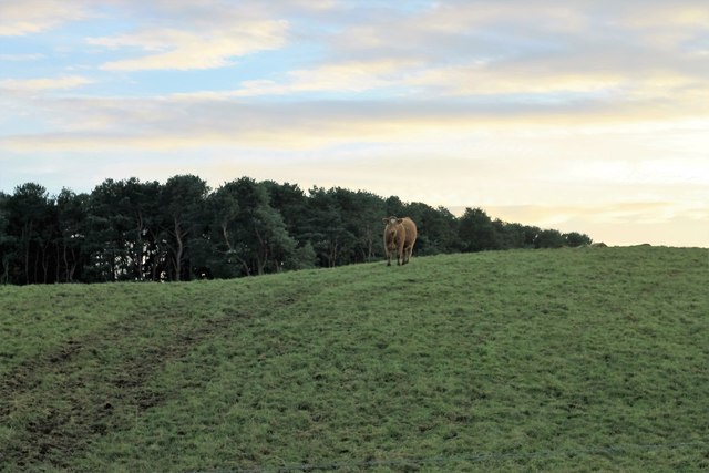
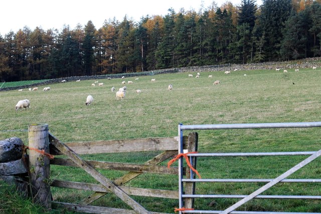
Glenhead Wood Images
Images are sourced within 2km of 57.025432/-2.4351471 or Grid Reference NO7392. Thanks to Geograph Open Source API. All images are credited.


Glenhead Wood is located at Grid Ref: NO7392 (Lat: 57.025432, Lng: -2.4351471)
Unitary Authority: Aberdeenshire
Police Authority: North East
What 3 Words
///graceful.factories.lakeside. Near Banchory, Aberdeenshire
Nearby Locations
Related Wikis

Tilquhillie Castle
Tilquhillie Castle is a castle near Banchory in Aberdeenshire, Scotland. A Category A listed building, the castle formally formed part of the lands of...

Lochton
Lochton is a settlement on the Slug Road in Aberdeenshire, Scotland. Roman legions marched from Raedykes to Normandykes Roman Camp somewhat east of Lochton...

Coy Burn
Coy Burn is a stream that rises in the hills north of Banchory in Aberdeenshire, Scotland. Coy Burn discharges to the River Dee at Milton of Crathes....

Banchory St Ternan F.C.
Banchory St. Ternan Football Club are a Scottish Junior football club based in Crathes, two miles outside the town of Banchory, Aberdeenshire. The club...

Milton of Crathes
Milton of Crathes is a complex of restored 17th-century stone buildings, associated with, and previously an outlier of, Crathes Castle in Aberdeenshire...

Milton of Crathes railway station
Milton of Crathes railway station is located at Milton of Crathes, three miles east of Banchory, Royal Deeside, Aberdeenshire, Scotland, United Kingdom...

Royal Deeside Railway
The Royal Deeside Railway is a Scottish heritage railway located at Milton of Crathes railway station on a part of the original Deeside Railway. ��2�...
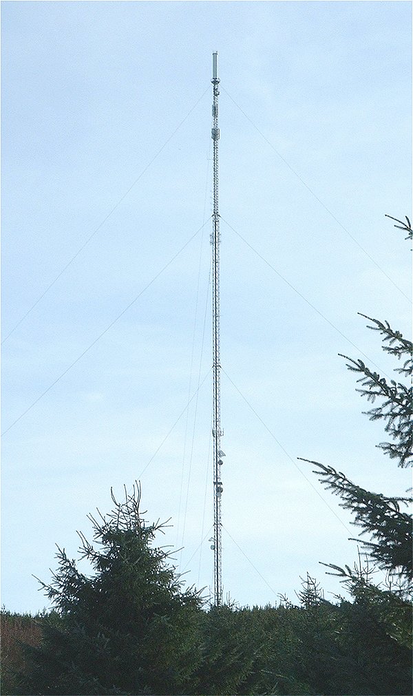
Durris transmitting station
The Durris transmitting station is a broadcasting and telecommunications facility, situated close to the town of Stonehaven, within Durris Forest, within...
Nearby Amenities
Located within 500m of 57.025432,-2.4351471Have you been to Glenhead Wood?
Leave your review of Glenhead Wood below (or comments, questions and feedback).