Backlea Plantation
Wood, Forest in Berwickshire
Scotland
Backlea Plantation
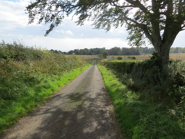
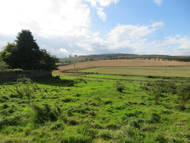
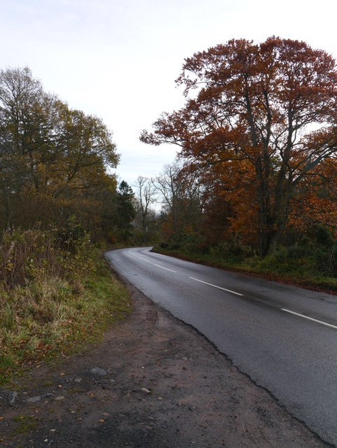
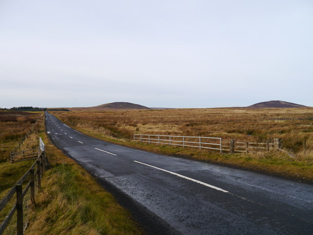
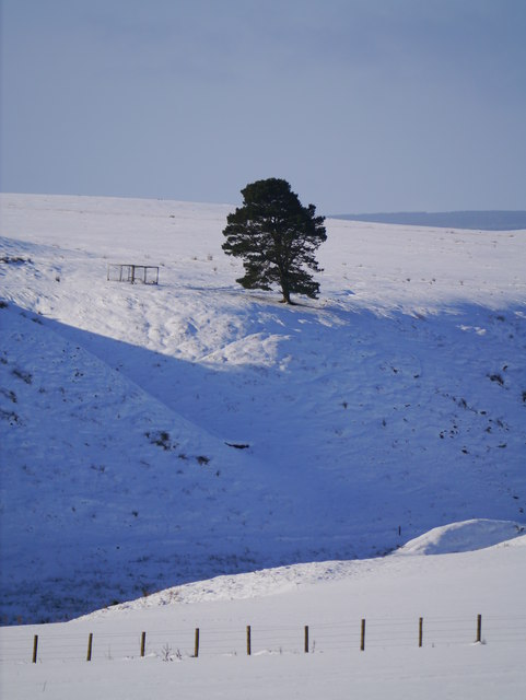
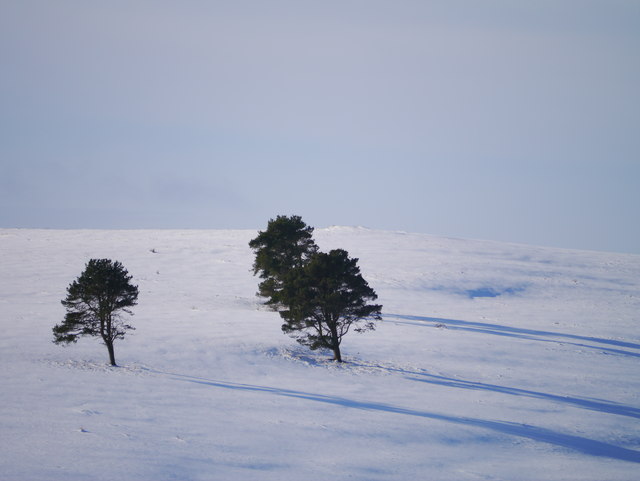
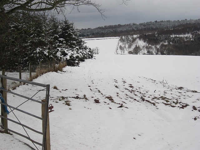
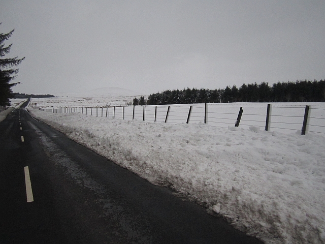
Backlea Plantation is a picturesque woodland located in Berwickshire, Scotland. Spread over several acres, this enchanting forest is known for its natural beauty and diverse wildlife. The plantation is nestled in a serene valley, surrounded by rolling hills and meandering streams, creating a tranquil atmosphere for visitors.
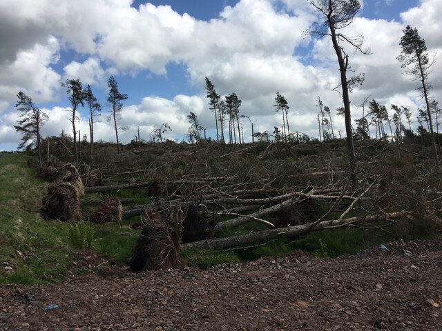
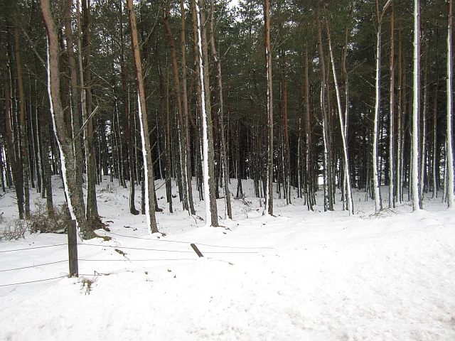
The woodland is primarily composed of native tree species such as oak, beech, and birch, which provide a rich habitat for a variety of flora and fauna. The dense canopy of trees offers shelter to numerous bird species, including woodpeckers, owls, and finches, making it a popular spot for birdwatching enthusiasts.
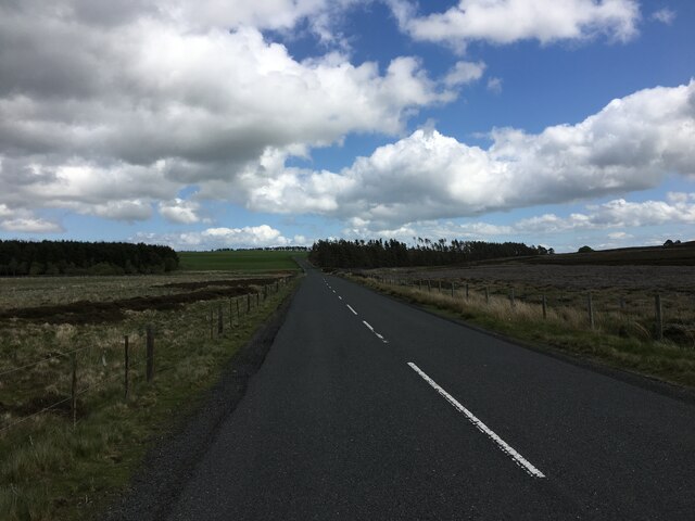
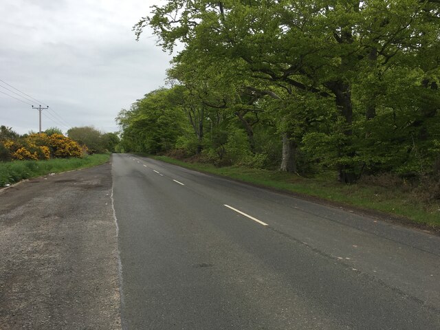
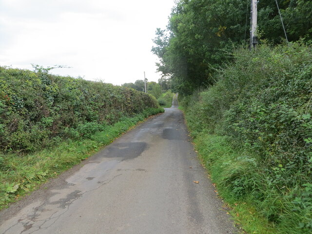
Backlea Plantation boasts a network of well-maintained walking trails that allow visitors to explore the forest at their own pace. The paths wind through the forest, leading to hidden glens, secret clearings, and breathtaking viewpoints. Along the way, visitors may encounter wildflowers, ferns, and mosses, adding to the plantation's natural charm.
The woodland also offers recreational activities for outdoor enthusiasts. It is a favorite destination for hikers, cyclists, and nature lovers who appreciate the beauty of the Scottish countryside. The plantation is open to the public year-round and provides ample parking facilities for visitors.
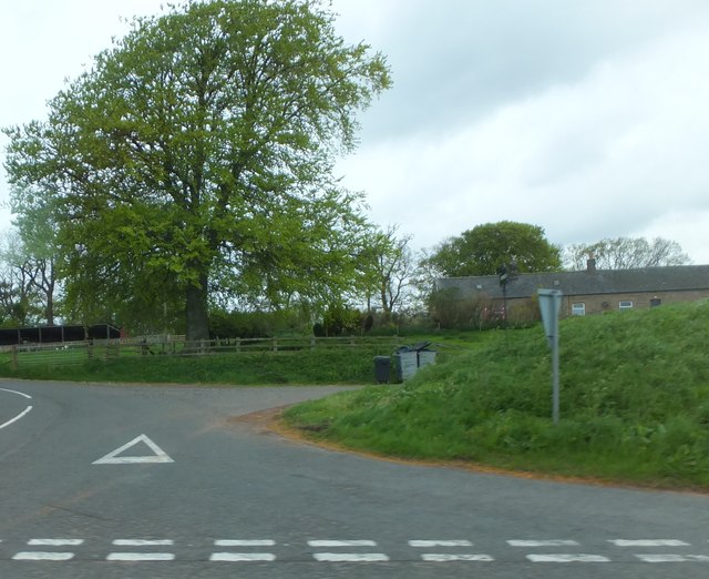
In addition to its natural attractions, Backlea Plantation has historical significance. It was once part of a larger estate and has remnants of old ruins and stone walls, adding a touch of mystery and intrigue to the landscape.
Overall, Backlea Plantation in Berwickshire is a captivating woodland that offers a peaceful retreat for those seeking a connection with nature. Its combination of scenic beauty, wildlife, and historical features make it a must-visit destination for both locals and tourists alike.
If you have any feedback on the listing, please let us know in the comments section below.
Backlea Plantation Images
Images are sourced within 2km of 55.746719/-2.4297989 or Grid Reference NT7350. Thanks to Geograph Open Source API. All images are credited.


Backlea Plantation is located at Grid Ref: NT7350 (Lat: 55.746719, Lng: -2.4297989)
Unitary Authority: The Scottish Borders
Police Authority: The Lothians and Scottish Borders
What 3 Words
///shape.pausing.proposals. Near Duns, Scottish Borders
Nearby Locations
Related Wikis

Polwarth, Scottish Borders
Polwarth (Scots: Polart) is a village and parish in the Scottish Borders area of Scotland. It is located at grid reference NT745502, between Greenlaw and...

Polwarth Castle
Polwarth Castle was a castle, located near Polwarth, Scottish Borders in Scotland. == History == Held by the Polwarth family it passed by marriage of Elizabeth...
Polwarth Parish Church
Polwarth Parish Church was a member church (Scots: kirk) of the Church of Scotland before closing in 2004. It is situated atop a mound off a minor...

Marchmont House
Marchmont House lies on the east side of the village of Greenlaw, and near to a church in Polwarth in Berwickshire, in the Scottish Borders area of Scotland...
Marchmont railway station
Marchmont railway station served the estate of Marchmont, Scottish Borders, Scotland from 1863 to 1948 on the North British Railway. == History == The...

Berwickshire, Roxburgh and Selkirk (UK Parliament constituency)
Berwickshire, Roxburgh and Selkirk is a constituency of the British House of Commons, located in the south of Scotland within the Scottish Borders council...

Langton Castle
Langton Castle is a now destroyed medieval fortress at Langton, near the burgh of Duns, Berwickshire, Scotland. Little remains of the structure. ��2�...
Gavinton
Gavinton is a small settlement in the Scottish Borders area of Scotland, 2 kilometres (1.2 mi) south-west of Duns, the former county town of Berwickshire...
Have you been to Backlea Plantation?
Leave your review of Backlea Plantation below (or comments, questions and feedback).