Chapel Row
Settlement in Sussex Wealdon
England
Chapel Row
Chapel Row is a small village located in the county of Sussex, England. Situated approximately 4 miles northeast of the town of Newbury, it lies in the picturesque countryside of the South Downs National Park. The village is renowned for its idyllic setting and charming rural character.
Chapel Row is characterized by its quaint and historic architecture, with many traditional thatched cottages lining its streets. The village is centered around a small, ancient chapel, which dates back to the 12th century and remains a focal point of the community. The chapel is a Grade II listed building and attracts visitors interested in its rich history.
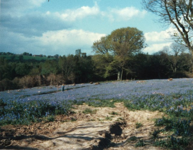
The village offers a peaceful and tranquil atmosphere, perfect for those seeking to escape the hustle and bustle of city life. Surrounded by rolling hills and meadows, Chapel Row provides ample opportunities for walking and exploring the stunning natural beauty of Sussex. The nearby countryside is dotted with footpaths and bridleways, making it an ideal destination for outdoor enthusiasts.
Despite its small size, Chapel Row is home to a close-knit community that values its heritage and traditions. The village hosts regular events and gatherings, such as seasonal fairs and community festivals, which bring residents and visitors together. Additionally, Chapel Row benefits from its proximity to Newbury, where residents can access a range of amenities and services.
In conclusion, Chapel Row offers a quintessential English village experience, with its historic buildings, beautiful surroundings, and strong sense of community. It is a place where residents and visitors alike can appreciate the charm and serenity of rural Sussex.
If you have any feedback on the listing, please let us know in the comments section below.
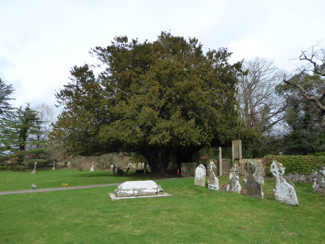
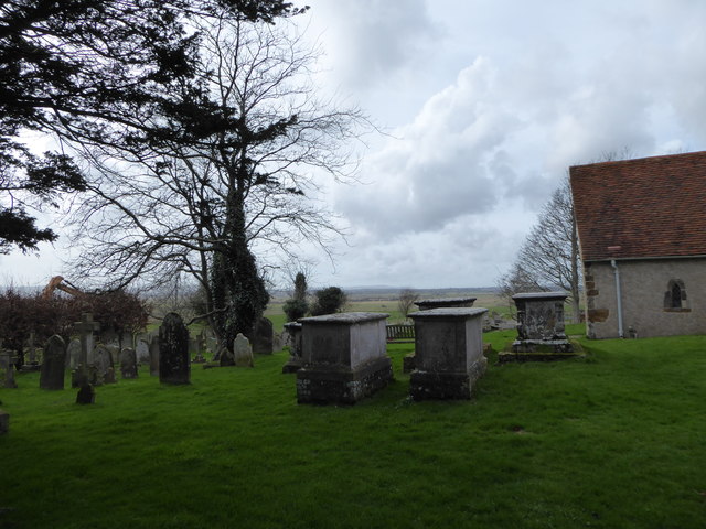
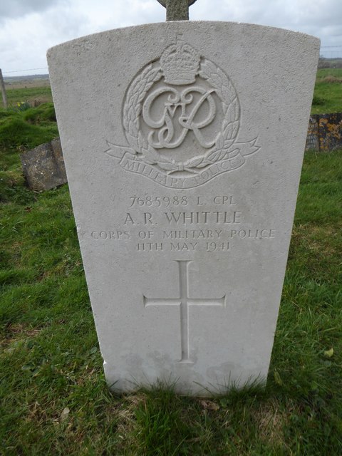
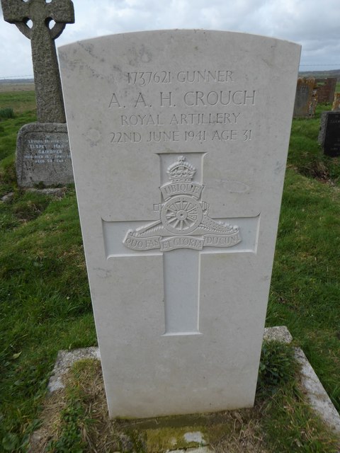
Chapel Row Images
Images are sourced within 2km of 50.885403/0.32743248 or Grid Reference TQ6312. Thanks to Geograph Open Source API. All images are credited.


Chapel Row is located at Grid Ref: TQ6312 (Lat: 50.885403, Lng: 0.32743248)
Administrative County: East Sussex
District: Wealdon
Police Authority: Sussex
What 3 Words
///changing.responded.fewest. Near Herstmonceux, East Sussex
Nearby Locations
Related Wikis
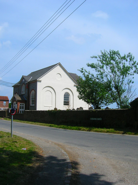
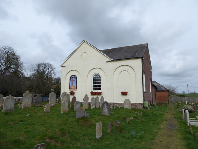
Herstmonceux Free Church
Herstmonceux Free Church is a congregational chapel located in Herstmonceux, East Sussex. It was initially constructed at its site on Chapel Row in 1811...
Herstmonceux
Herstmonceux ( HURSS-mən-ZOO, -SOO, or horss-MOWN-seez) is a village and civil parish in the Wealden District of East Sussex, England, which includes...

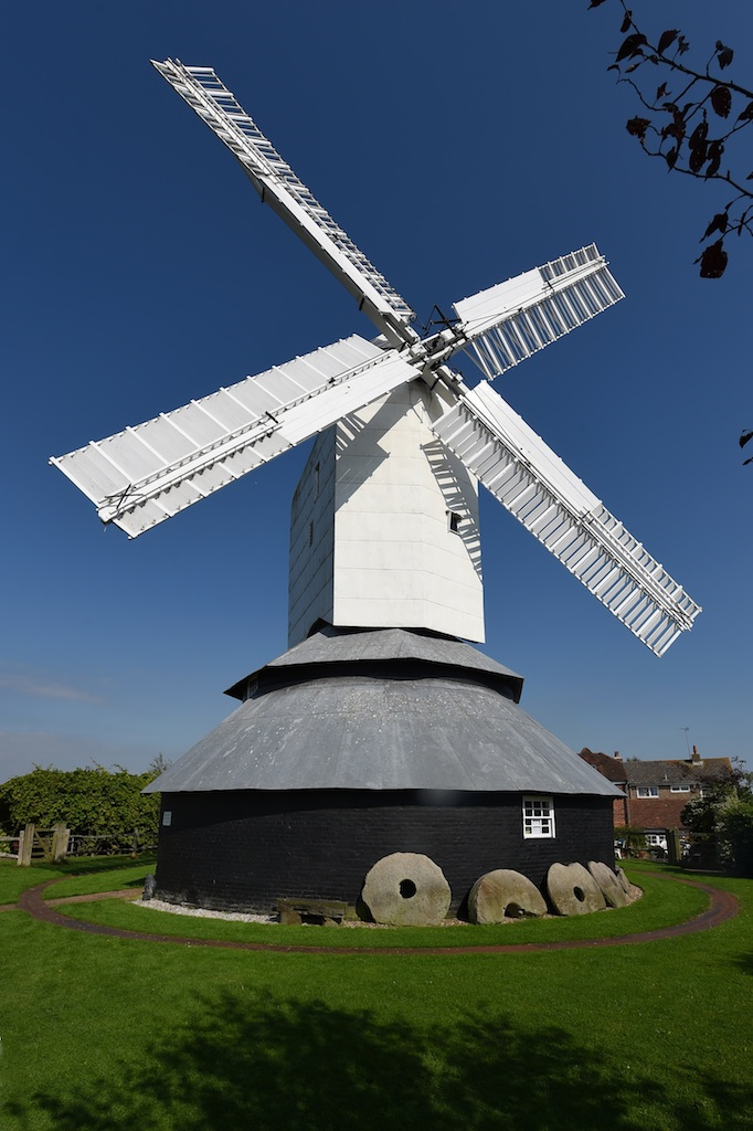
Windmill Hill, East Sussex
Windmill Hill is a village in the civil parish of Herstmonceux, in the Wealden district of East Sussex, England. In 2020 it had an estimated population...
Windmill Hill Mill, Herstmonceux
Windmill Hill Mill is a grade II* listed post mill at Herstmonceux, Sussex, England which has been restored and now operates as a working mill. The mill...
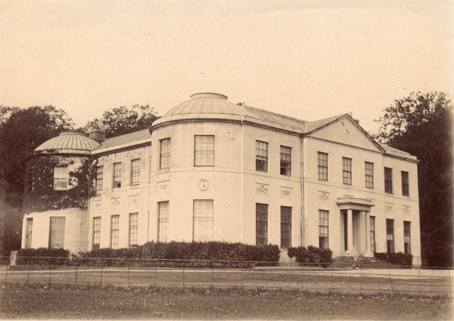
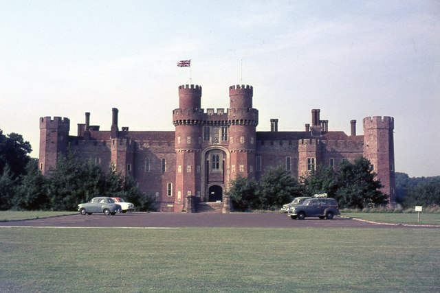
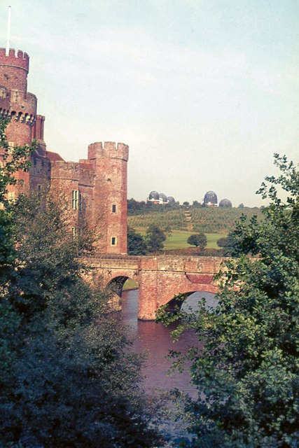
Herstmonceux Place
Herstmonceux Place is an 18th-century country house in Herstmonceux, East Sussex, England. It was divided into apartments in the 1950s. The house stands...
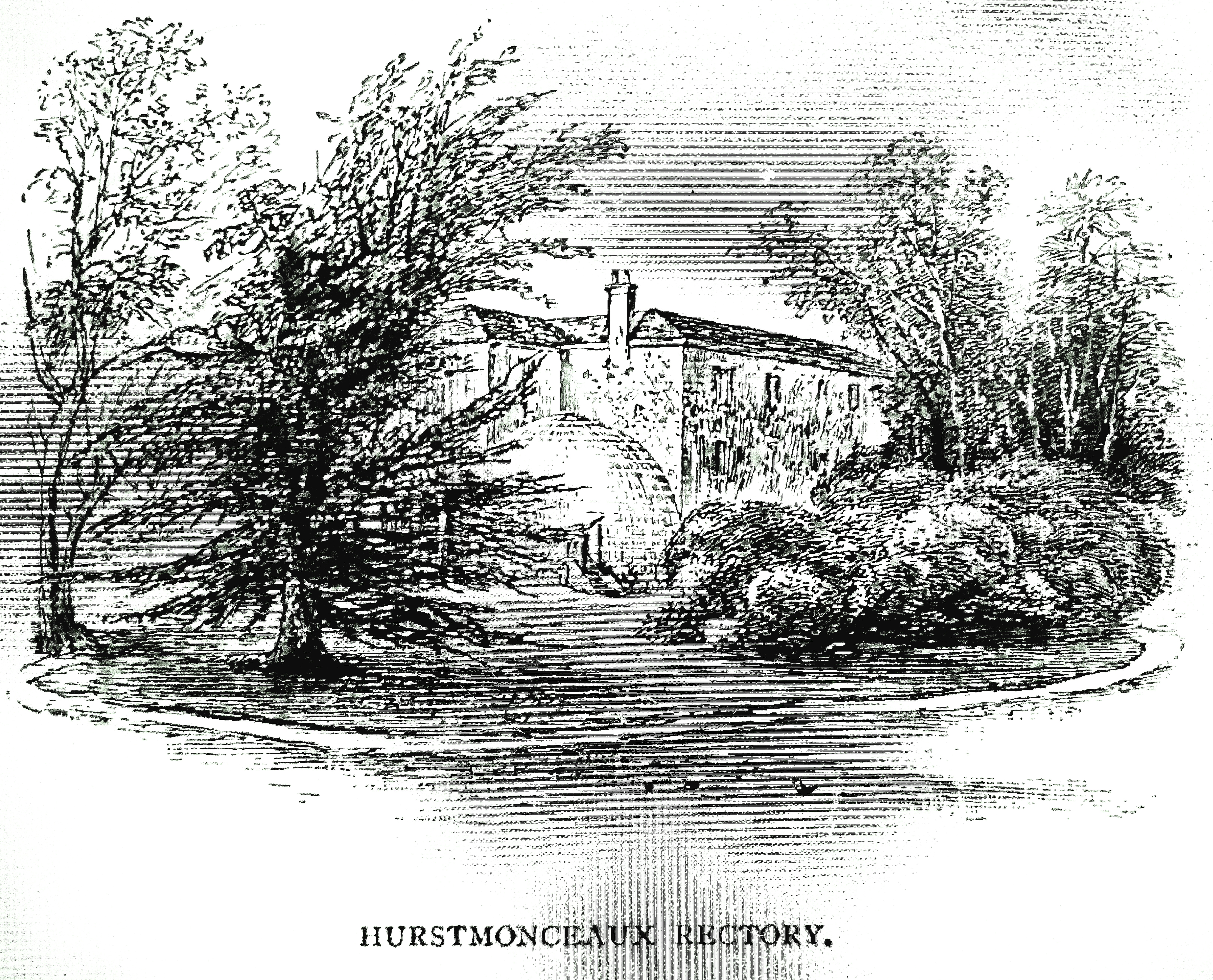
Buckwell Place
Buckwell Place (formerly Herstmonceux Rectory) is a country house within the civil parish of Herstmonceux, East Sussex, England. It is a privately owned...

Herstmonceux Park
Herstmonceux Park is a 4.3-hectare (11-acre) biological Site of Special Scientific Interest south of Herstmonceux in East Sussex.This narrow stream valley...

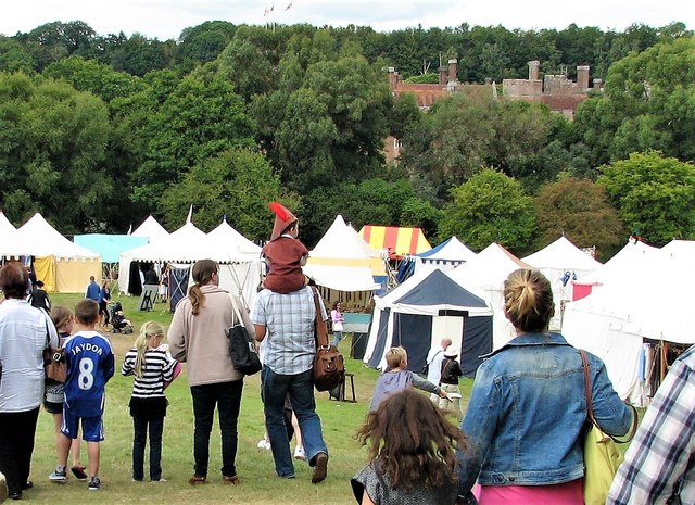
England's Medieval Festival
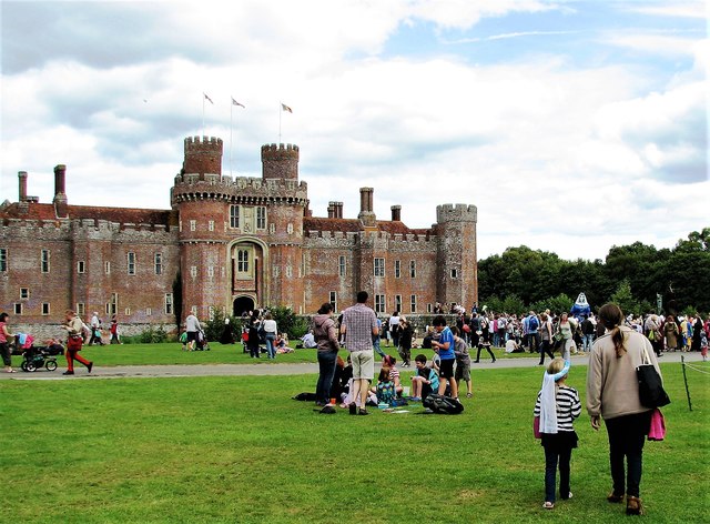
England's Medieval Festival is a medieval-themed festival held over the August bank holiday at, Pippingford Park in Sussex, England. Held over three days...
Nearby Amenities
Located within 500m of 50.885403,0.32743248Have you been to Chapel Row?
Leave your review of Chapel Row below (or comments, questions and feedback).