Arthur's Hope Wood
Wood, Forest in Berwickshire
Scotland
Arthur's Hope Wood

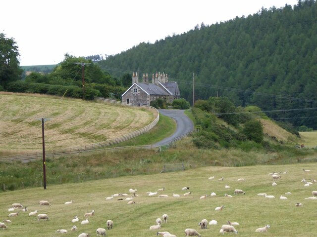
Arthur's Hope Wood is a picturesque forest located in the region of Berwickshire, Scotland. This enchanting woodland covers an area of approximately 200 acres and is renowned for its natural beauty and diverse ecosystem. The forest is situated near the village of Greenlaw and is easily accessible by foot or by car.
The wood is primarily composed of native broadleaf trees, including oak, beech, and birch, which create a dense canopy that provides a habitat for a wide variety of flora and fauna. Walking through Arthur's Hope Wood, visitors can enjoy the tranquility of the surroundings, with the peaceful sounds of birdsong and the rustling of leaves.
The forest offers several well-maintained trails that wind through the woodland, allowing visitors to explore its hidden treasures. These paths cater to individuals of all fitness levels, from leisurely strolls to more challenging hikes. Along the way, hikers may encounter wildlife such as red squirrels, roe deer, and a range of bird species.
Arthur's Hope Wood is also home to a diverse range of plant life, including bluebells, foxgloves, and wild garlic, which carpet the forest floor during the spring and summer months, creating a stunning display of colors.
The wood is managed by a local conservation organization, ensuring the preservation of its natural beauty and promoting sustainable practices. Visitors are encouraged to respect the forest and its inhabitants, leaving no trace of their presence and following designated paths to minimize disturbance to the delicate ecosystem.
Overall, Arthur's Hope Wood is a captivating destination for nature lovers and those seeking a peaceful retreat in the heart of Berwickshire's stunning countryside.
If you have any feedback on the listing, please let us know in the comments section below.
Arthur's Hope Wood Images
Images are sourced within 2km of 55.838905/-2.4573056 or Grid Reference NT7160. Thanks to Geograph Open Source API. All images are credited.


Arthur's Hope Wood is located at Grid Ref: NT7160 (Lat: 55.838905, Lng: -2.4573056)
Unitary Authority: The Scottish Borders
Police Authority: The Lothians and Scottish Borders
What 3 Words
///battling.perused.arrow. Near Duns, Scottish Borders
Nearby Locations
Related Wikis

Dye Water
The Dye Water (Scottish Gaelic: Uisge Dhàidh) is a river in the Lammermuir Hills in the Scottish Borders area of Scotland. It rises in the Hope Hills,...

Bothwell Water
The Bothwell Water is a river in the Scottish Borders area of Scotland. It rises in the Lammermuir Hills near Caldercleugh and continues past the Upper...

Cranshaws Castle
Cranshaws Castle or Cranshaws Tower is a privately owned 15th-century pele situated by the village of Cranshaws in Berwickshire, Scotland. The building...

Longformacus House
Longformacus House is a mansion near the village of Longformacus, Scottish Borders, Scotland. == History == The estate was once owned by the Earls of...
Have you been to Arthur's Hope Wood?
Leave your review of Arthur's Hope Wood below (or comments, questions and feedback).