Gardenbank Wood
Wood, Forest in Kincardineshire
Scotland
Gardenbank Wood

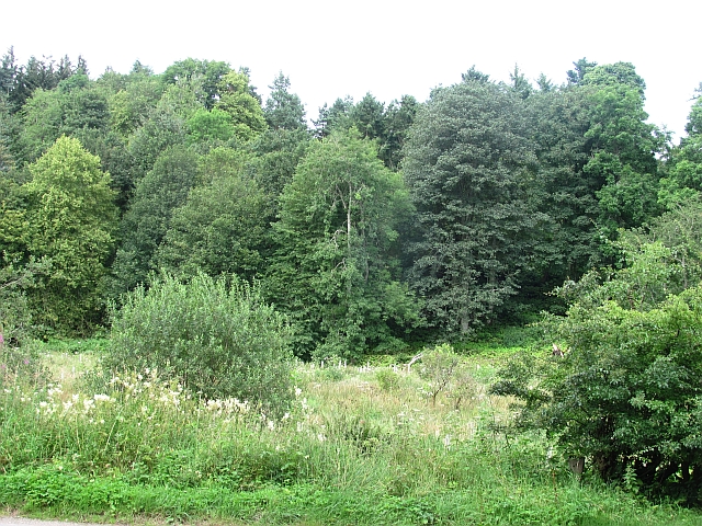
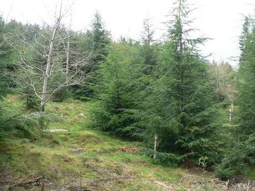
Gardenbank Wood is a picturesque woodland located in Kincardineshire, Scotland. Covering an area of approximately 50 hectares, it is situated near the village of Auchenblae, just a few miles south of Stonehaven. The wood is primarily made up of native broadleaved trees, including oak, birch, and ash, creating a diverse and vibrant ecosystem.
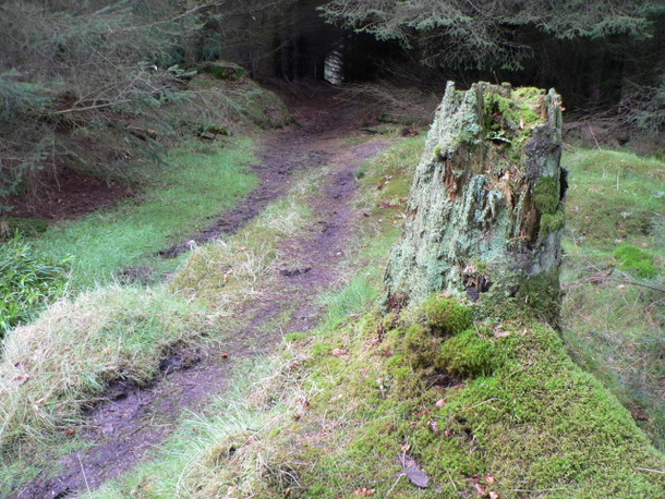
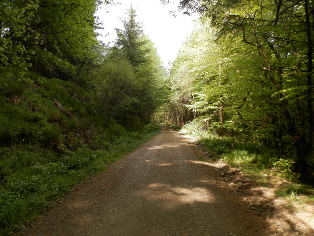
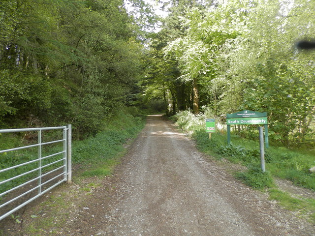
Gardenbank Wood is a popular destination for nature enthusiasts and hikers due to its stunning beauty and tranquil atmosphere. The wood is crisscrossed with well-maintained footpaths, allowing visitors to explore its various corners and discover hidden gems along the way. The paths wind their way through the wood, passing through sunlit glades, dense undergrowth, and towering canopies.
The wood is home to a rich variety of wildlife, including numerous bird species such as woodpeckers, owls, and thrushes. Mammals like red squirrels, badgers, and roe deer can also be spotted in the area. In the spring, the wood comes alive with a riot of colors as bluebells carpet the forest floor, creating a breathtaking sight.
Gardenbank Wood holds historical significance as well. It is believed to have been part of the ancient Caledonian Forest, which covered much of Scotland thousands of years ago. Today, it serves as a remnant of that once-vast woodland and offers a glimpse into Scotland's natural heritage.
Overall, Gardenbank Wood is a haven for nature lovers, offering a peaceful retreat and a chance to connect with the beauty of the natural world. Whether it's a leisurely stroll, birdwatching, or simply enjoying the serenity of the surroundings, this woodland is a must-visit destination for those seeking solace in nature.
If you have any feedback on the listing, please let us know in the comments section below.
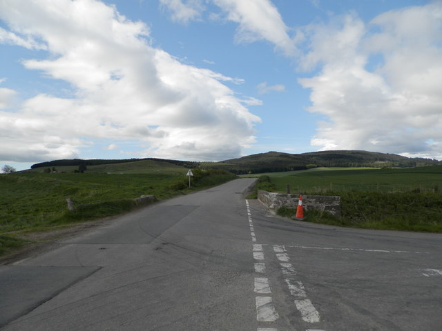
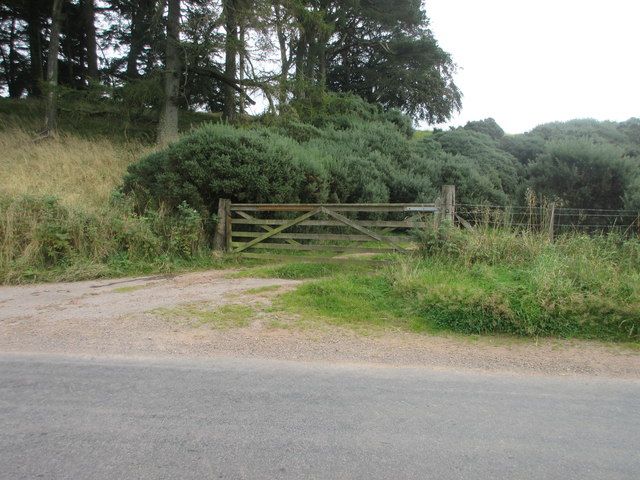
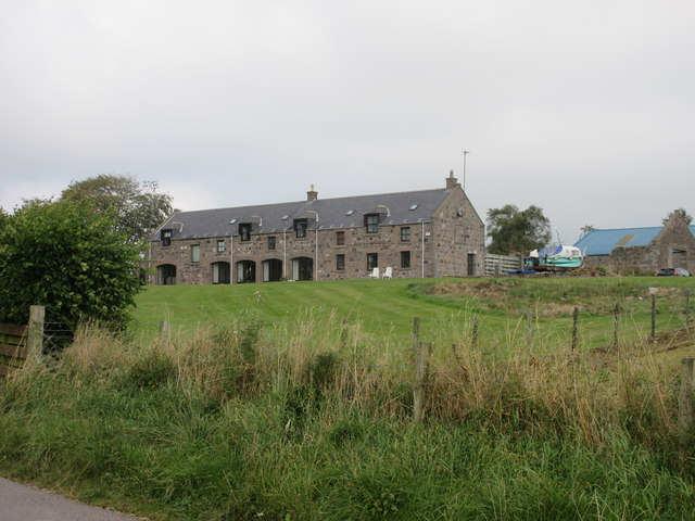
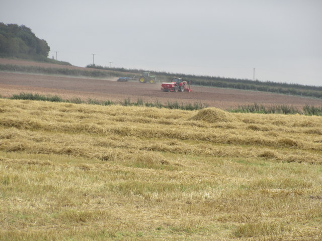
Gardenbank Wood Images
Images are sourced within 2km of 56.909252/-2.4764401 or Grid Reference NO7179. Thanks to Geograph Open Source API. All images are credited.


Gardenbank Wood is located at Grid Ref: NO7179 (Lat: 56.909252, Lng: -2.4764401)
Unitary Authority: Aberdeenshire
Police Authority: North East
What 3 Words
///ballooned.bliss.flush. Near Laurencekirk, Aberdeenshire
Nearby Locations
Related Wikis

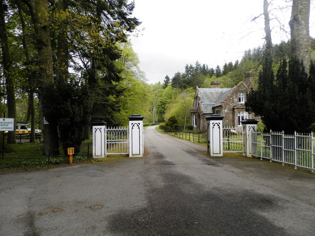
Drumtochty Castle
Drumtochty Castle is a neo-gothic style castellated mansion erected in 1812 approximately three kilometres north-west of Auchenblae, Kincardineshire, Scotland...

Kincardineshire
Kincardineshire, also known as the Mearns (from the Scottish Gaelic A' Mhaoirne meaning "the Stewartry"), is a historic county, registration county and...

Auchinblae distillery
Auchenblae distillery was a scotch whisky distillery in Auchenblae, Kincardine, Aberdeenshire, Scotland. == History == The distillery was created in 1895...

Fordoun Stone
The Fordoun Stone is a class II Pictish cross slab in Fordoun parish church, Auchenblae, Aberdeenshire, Scotland. == Description == A slab of Old Red Sandstone...
Nearby Amenities
Located within 500m of 56.909252,-2.4764401Have you been to Gardenbank Wood?
Leave your review of Gardenbank Wood below (or comments, questions and feedback).