Hiddyshaugh Plantation

Wood, Forest in Roxburghshire

Scotland

Hiddyshaugh Plantation

Field, Palace Off the A698 on a dreich day (hence lack of light and colour).
Field, Palace Credit: JThomas

Hiddyshaugh Plantation is a captivating wood located in Roxburghshire, a picturesque region in the Scottish Borders. This enchanting forest covers an area of approximately 200 acres and is known for its diverse range of flora and fauna.

The woodland primarily consists of native deciduous trees such as oak, beech, and birch, which create a stunning canopy during the summer months. These trees provide a habitat for a variety of bird species, including woodpeckers, nuthatches, and thrushes, making it a popular spot for birdwatchers.

The plantation also features several well-maintained walking trails, allowing visitors to explore its natural beauty at their own pace. The paths wind through the forest, offering glimpses of wildflowers, moss-covered rocks, and trickling streams that add to the area's tranquility.

Hiddyshaugh Plantation is not only a haven for wildlife but also offers recreational activities for visitors. It is a popular destination for outdoor enthusiasts who enjoy hiking, cycling, and horseback riding. The well-marked trails cater to all levels of fitness and provide breathtaking views of the surrounding countryside.

Throughout the year, the plantation hosts various events and workshops, including nature walks, conservation talks, and educational programs for all ages. These activities aim to raise awareness about the importance of preserving the woodland ecosystem and promoting sustainable practices.

Hiddyshaugh Plantation is a cherished natural gem in Roxburghshire, offering a peaceful sanctuary for both wildlife and humans alike. Whether it's exploring the trails, observing the abundant wildlife, or participating in educational programs, visitors are guaranteed an unforgettable experience in this captivating woodland.

If you have any feedback on the listing, please let us know in the comments section below.

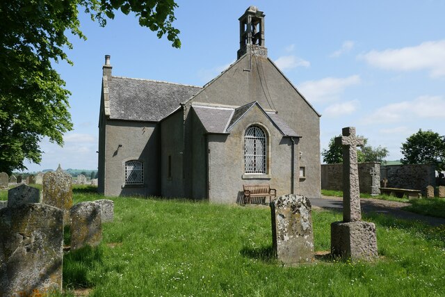
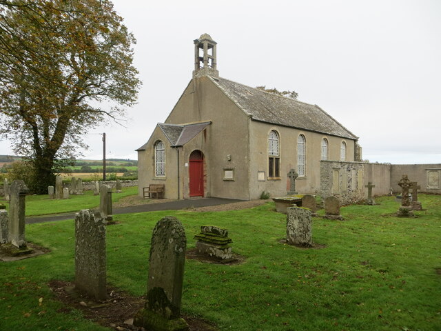
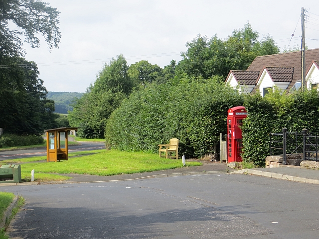
Hiddyshaugh Plantation Images

Images are sourced within 2km of 55.512865/-2.4763816 or Grid Reference NT7024. Thanks to Geograph Open Source API. All images are credited.

Field, Palace Off the A698 on a dreich day (hence lack of light and colour).
Field, Palace
Off the A698 on a dreich day (hence lack of light and colour).
A698 heading east Towards Kelso.
A698 heading east
Towards Kelso.
Crailing Kirk A scenic little kirk slightly above the Teviot floodplain and thus escaping the worst the winter floods can bring to the area.
Crailing Kirk
A scenic little kirk slightly above the Teviot floodplain and thus escaping the worst the winter floods can bring to the area.
Minor road near Baittens This ection of road also forms part of the route of St Cuthbert's Way, as indicated by the fingerpost on the far side of the road.
Minor road near Baittens
This ection of road also forms part of the route of St Cuthbert's Way, as indicated by the fingerpost on the far side of the road.
Across the fields to Crailing A view towards Crailing in pleasant early June conditions.
Across the fields to Crailing
A view towards Crailing in pleasant early June conditions.
Crailing Parish Church and part of its burial ground Viewed from the southwest.
Crailing Parish Church and part of its burial ground
Viewed from the southwest.
Ordnance Survey Cut Mark This mark can be found at the porch entrance to Crailing Kirk.
The recorded details give a height of 59.2684 metres above sea level.
For more details see : <span class="nowrap"><a title="https://www.bench-marks.org.uk/bm205111" rel="nofollow ugc noopener" href="https://www.bench-marks.org.uk/bm205111">Link</a><img style="margin-left:2px;" alt="External link" title="External link - shift click to open in new window" src="https://s1.geograph.org.uk/img/external.png" width="10" height="10"/></span>
Ordnance Survey Cut Mark
This mark can be found at the porch entrance to Crailing Kirk. The recorded details give a height of 59.2684 metres above sea level. For more details see : LinkExternal link
Guinea fowl at Crailing Parish Churchyard Nine birds were in the churchyard but as I got a bit closer they became noisy and some of them flew on to the northwest boundary wall.
Guinea fowl at Crailing Parish Churchyard
Nine birds were in the churchyard but as I got a bit closer they became noisy and some of them flew on to the northwest boundary wall.
Crailing Parish Church The church is situated between the villages of Crailing and Nisbet and was built in 1775. The east gallery was exchanged for an apse during alterations in 1892 and more recently the burial area has been extended to the northwest.
A bird cage belfry has a bell inscribed "William Lord Cranstoun Crailling for the Church Edr 1706". (Source: The Churches and Graveyards of Roxburghshire by G.A.C. Binnie).
Crailing Parish Church
The church is situated between the villages of Crailing and Nisbet and was built in 1775. The east gallery was exchanged for an apse during alterations in 1892 and more recently the burial area has been extended to the northwest. A bird cage belfry has a bell inscribed "William Lord Cranstoun Crailling for the Church Edr 1706". (Source: The Churches and Graveyards of Roxburghshire by G.A.C. Binnie).
Crailing Parish Churchyard
Crailing phone box and postbox The former phone box contains leaflets and information about the Crailing area.
Crailing phone box and postbox
The former phone box contains leaflets and information about the Crailing area.
The jetty at Wooden Loch near Eckfordmoss
Looking down the unclassified road from Eckford that joins up with the A698 after 0.5km
House and farm buildings at Brownrigg
An overgrown track leads to arable fields at Eckfordmoss
Barn at Brownrigg - on the St.Cuthbert's Way long distance footpath
Footbridge near Fox Covert on the St.Cuthbert's Way
A short tarmac section of St.Cuthbert's Way long distance footpath The long distance footpath comes towards the photographer. This is the Crailing road. The ldf then exits to the right of picture and returns to tracks at Brownrigg 100m away.
A short tarmac section of St.Cuthbert's Way long distance footpath
The long distance footpath comes towards the photographer. This is the Crailing road. The ldf then exits to the right of picture and returns to tracks at Brownrigg 100m away.
Show me another place!

Hiddyshaugh Plantation is located at Grid Ref: NT7024 (Lat: 55.512865, Lng: -2.4763816)

Unitary Authority: The Scottish Borders

Police Authority: The Lothians and Scottish Borders

What 3 Words

///debut.crouches.viewer. Near Jedburgh, Scottish Borders

Related Wikis

Eckford, Scottish Borders

Eckford is a small village located between the larger towns of Kelso and Jedburgh in the Scottish Borders. The village is in close proximity to both the...

Crailing

Crailing is a village on the A698, in Teviotdale, 4m east of Jedburgh in the Scottish Borders area of Scotland, in the historic county of Roxburghshire...

Roxburghshire

Roxburghshire or the County of Roxburgh (Scottish Gaelic: Siorrachd Rosbroig) is a historic county and registration county in the Southern Uplands of Scotland...

Roxburgh, Ettrick and Lauderdale

Roxburgh, Ettrick and Lauderdale (Rosbrog, Eadaraig agus Srath Labhdair in Scottish Gaelic) is a lieutenancy area of Scotland. The lieutenancy area was...

Nearby Amenities

Located within 500m of 55.512865,-2.4763816
Brownrig
Place: hamlet
Lat/Long: 55.5091289/-2.4740052
Power: pole
Lat/Long: 55.5141448/-2.4691534
Power: pole
Lat/Long: 55.5135325/-2.4697663
Power: pole
Lat/Long: 55.5129114/-2.4703894
Power: pole
Lat/Long: 55.5123048/-2.4709791
Power: pole
Lat/Long: 55.5117333/-2.4715662
Power: pole
Lat/Long: 55.5111107/-2.4721867
Power: pole
Lat/Long: 55.5105027/-2.4727893
Power: pole
Lat/Long: 55.5098874/-2.4734047
Power: pole
Lat/Long: 55.5092852/-2.4740072
The data included in this document is from www.openstreetmap.org. The data is made available under ODbL.

Have you been to Hiddyshaugh Plantation?

Leave your review of Hiddyshaugh Plantation below (or comments, questions and feedback).