Duns Strips

Wood, Forest in Berwickshire

Scotland

Duns Strips

Benchmark, Longformacus House Lodge Ordnance Survey benchmark, described on database at <span class="nowrap"><a title="https://www.bench-marks.org.uk/bm85346" rel="nofollow ugc noopener" href="https://www.bench-marks.org.uk/bm85346">Link</a><img style="margin-left:2px;" alt="External link" title="External link - shift click to open in new window" src="https://s1.geograph.org.uk/img/external.png" width="10" height="10"/></span>.
Benchmark, Longformacus House Lodge Credit: Becky Williamson

Duns Strips, located in Berwickshire, Scotland, is a picturesque wood and forest area renowned for its natural beauty and diverse flora and fauna. Covering an expansive area, it offers visitors a tranquil escape from the bustle of urban life.

The woodlands of Duns Strips are dominated by a mix of native tree species, including oak, birch, and pine. These trees provide a lush canopy that not only adds to the scenic appeal but also provides a habitat for a variety of wildlife. Visitors to the area may spot red squirrels, roe deer, and a plethora of bird species such as woodpeckers and owls.

The forest floor of Duns Strips is carpeted with a rich tapestry of wildflowers, ferns, and mosses, creating a vibrant and enchanting display throughout the seasons. In spring, the forest comes alive with a riot of colors as bluebells, primroses, and wild garlic bloom.

The woodlands of Duns Strips are also crisscrossed by a network of walking trails, allowing visitors to explore and immerse themselves in this natural haven. These paths vary in difficulty, catering to both casual strollers and avid hikers.

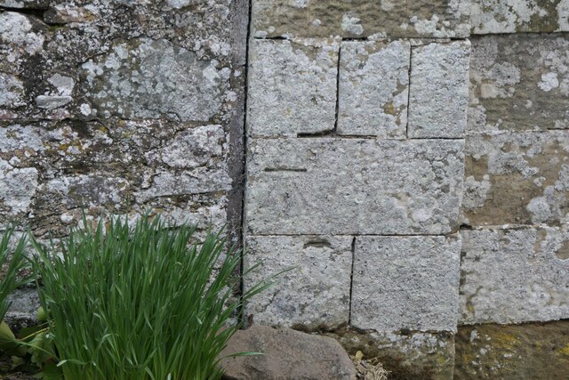
Furthermore, Duns Strips is known for its historical significance, with remnants of ancient settlements and fortifications scattered throughout the area. Archaeological sites, such as earthworks and standing stones, offer a glimpse into the region's past and add an additional layer of intrigue to the woodlands.

Overall, Duns Strips in Berwickshire is a captivating destination for nature lovers, offering a harmonious blend of stunning landscapes, diverse wildlife, and glimpses into the region's rich history.

If you have any feedback on the listing, please let us know in the comments section below.

Duns Strips Images

Images are sourced within 2km of 55.800999/-2.4802941 or Grid Reference NT6956. Thanks to Geograph Open Source API. All images are credited.

Benchmark, Longformacus House Lodge Ordnance Survey benchmark, described on database at <span class="nowrap"><a title="https://www.bench-marks.org.uk/bm85346" rel="nofollow ugc noopener" href="https://www.bench-marks.org.uk/bm85346">Link</a><img style="margin-left:2px;" alt="External link" title="External link - shift click to open in new window" src="https://s1.geograph.org.uk/img/external.png" width="10" height="10"/></span>.
Benchmark, Longformacus House Lodge
Ordnance Survey benchmark, described on database at LinkExternal link.
Minor road near Longformacus
Longformacus House Once home of Sir Robert Sinclair, a supporter of the Covenanters.
Longformacus House
Once home of Sir Robert Sinclair, a supporter of the Covenanters.
Dirrington Great Law Moorland slopes of Dirrington Great Law. The hill is quite steep.
Dirrington Great Law
Moorland slopes of Dirrington Great Law. The hill is quite steep.
Butt, Dirrington Great Law One of a line of grouse butts on the steep slopes of Dirrington Great Law.  The ballot for the guns will be interesting here, get the top butt and expect some exercise.
Butt, Dirrington Great Law
One of a line of grouse butts on the steep slopes of Dirrington Great Law. The ballot for the guns will be interesting here, get the top butt and expect some exercise.
Triangulation pillar, Dirrington Great Law Since my last visit, the pillar has been dug up and has fallen over.
Triangulation pillar, Dirrington Great Law
Since my last visit, the pillar has been dug up and has fallen over.
Dyke, Dirrington Great Law A dyke and electric fence runs over the southern shoulder of Dirrington Great Law.
Dyke, Dirrington Great Law
A dyke and electric fence runs over the southern shoulder of Dirrington Great Law.
Track on Dirrington Great Law The track goes to the summit, but by spiraling around the west side of the hill and finishing from the south. This avoids steep ground. Black Hill power station is in the background.
Track on Dirrington Great Law
The track goes to the summit, but by spiraling around the west side of the hill and finishing from the south. This avoids steep ground. Black Hill power station is in the background.
Dirrington Wood The road is new and continues leftward up to Dirrington Hill.
Dirrington Wood
The road is new and continues leftward up to Dirrington Hill.
Kippetlaw Burn The burn is deepened as a drain in an area of wetland beneath Dirrington Great Law.
Kippetlaw Burn
The burn is deepened as a drain in an area of wetland beneath Dirrington Great Law.
Dirrington Wood A burnt strip of heather before Dirrington Wood.
Dirrington Wood
A burnt strip of heather before Dirrington Wood.
Dirrington Leas The road from Dirrington Hill heads towards the gap between the Dirrington Laws. Dirrington Little Law can be seen behind Kippetlaw.
Dirrington Leas
The road from Dirrington Hill heads towards the gap between the Dirrington Laws. Dirrington Little Law can be seen behind Kippetlaw.
Road Bridge on the minor road from Longformacus to Watch Water Reservoir Spans Watch Water.
Road Bridge on the minor road from Longformacus to Watch Water Reservoir
Spans Watch Water.
Longformacus Entering Longformacus from the north.
Longformacus
Entering Longformacus from the north.
Summit area of Dirrington Great Law Dirrington Great Law's summit is heather covered and has cairns 'of antiquity' one of which is in view. The trig point is deteriorating and is no longer recorded on OS maps.
Summit area of Dirrington Great Law
Dirrington Great Law's summit is heather covered and has cairns 'of antiquity' one of which is in view. The trig point is deteriorating and is no longer recorded on OS maps.
Moorland beneath Dirrington Great Law Dark clouds, rain never seems to be far off.
Moorland beneath Dirrington Great Law
Dark clouds, rain never seems to be far off.
Muirburn patterns, Feuar's Moor Patterns made by moorland management for grouse. A winter version: <a href="https://www.geograph.org.uk/photo/11910">NT6955 : Muirburn patterns, Feuar's Moor</a>
Muirburn patterns, Feuar's Moor
Patterns made by moorland management for grouse. A winter version: NT6955 : Muirburn patterns, Feuar's Moor
Dirrington Great Law, summit The triangulation pillar has been toppled.
Dirrington Great Law, summit
The triangulation pillar has been toppled.
Show me another place!

Duns Strips is located at Grid Ref: NT6956 (Lat: 55.800999, Lng: -2.4802941)

Unitary Authority: The Scottish Borders

Police Authority: The Lothians and Scottish Borders

What 3 Words

///bloodshot.decoding.grass. Near Duns, Scottish Borders

Related Wikis

Longformacus House

Longformacus House is a mansion near the village of Longformacus, Scottish Borders, Scotland. == History == The estate was once owned by the Earls of...

Longformacus

Longformacus (Scottish Gaelic: Longphort Mhacais) is a small village in Berwickshire in the Scottish Borders area of Scotland. It is around 10 kilometres...

Dirrington Great Law

Dirrington Great Law is a hill in the Scottish Borders area of Scotland, in the former county of Berwickshire. The summit is around 2.5 kilometres (1.6...

Dye Water

The Dye Water (Scottish Gaelic: Uisge DhĂ idh) is a river in the Lammermuir Hills in the Scottish Borders area of Scotland. It rises in the Hope Hills,...

Have you been to Duns Strips?

Leave your review of Duns Strips below (or comments, questions and feedback).