Chapel Hill

Settlement in Lincolnshire North Kesteven

England

Chapel Hill

The Packet Inn, Dogdyke Dogdyke was once a more important place than it is now. This was at the southern end of the Horncastle Canal where it joined the River Witham and there used to be a railway station on the now closed Boston to Lincoln line. There was also a ferry across the River Witham. Today the Packet Inn, built in 1924, survives.
The Packet Inn, Dogdyke Credit: Stephen McKay

Chapel Hill is a small village located in the county of Lincolnshire, England. Situated approximately 6 miles south of the town of Boston, Chapel Hill is known for its picturesque countryside and charming rural atmosphere.

The village is home to a population of around 500 residents, living in a mix of traditional cottages and modern houses. The main focal point of Chapel Hill is St. Mary's Church, a beautiful medieval building that dates back to the 13th century. The church is not only a place of worship but also serves as a historical landmark, attracting visitors from both the local community and beyond.

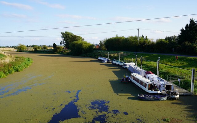
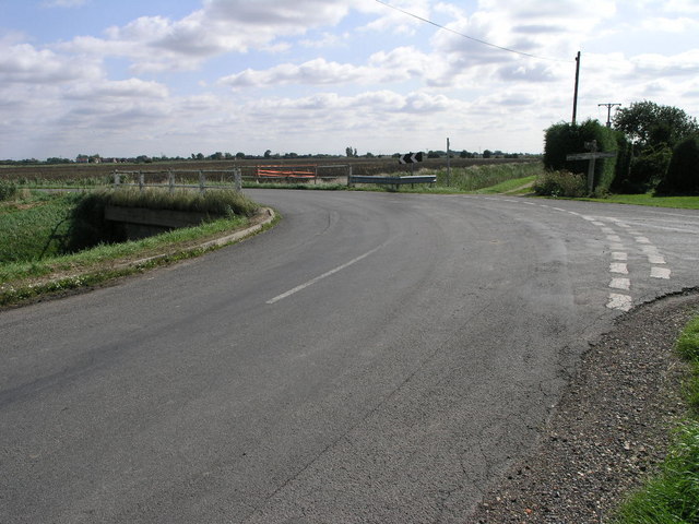
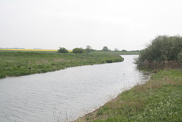
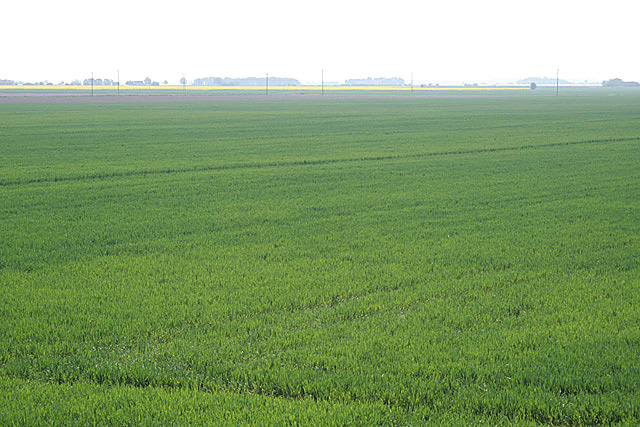
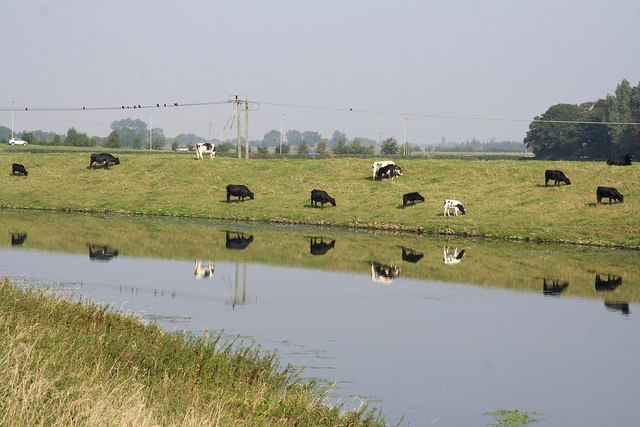
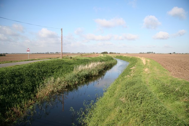
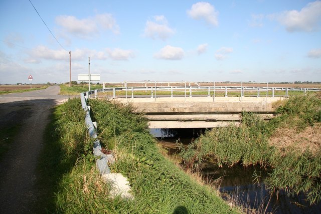
Surrounded by lush green fields and farmland, Chapel Hill offers a peaceful and idyllic setting for its residents. The village is well-connected to neighboring towns and cities, with good transport links providing easy access to amenities and services.

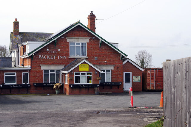
Although Chapel Hill is a relatively quiet village, it benefits from being in close proximity to Boston, where residents can find a wider range of shops, supermarkets, and leisure facilities. The village itself has a small convenience store for everyday essentials, ensuring that residents have easy access to basic amenities.

The community spirit in Chapel Hill is strong, with various social events and gatherings organized throughout the year. This fosters a close-knit and friendly atmosphere, where residents can enjoy the benefits of a close community while still having the option to venture into the nearby towns for more extensive facilities.

If you have any feedback on the listing, please let us know in the comments section below.
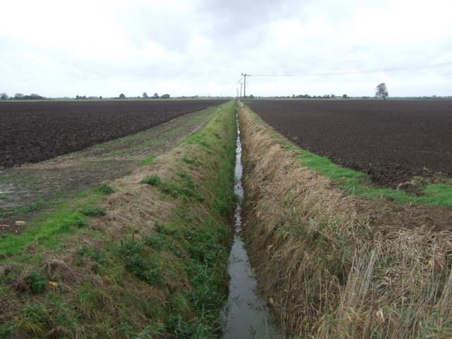
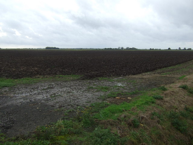
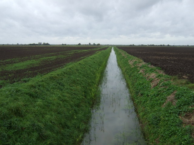
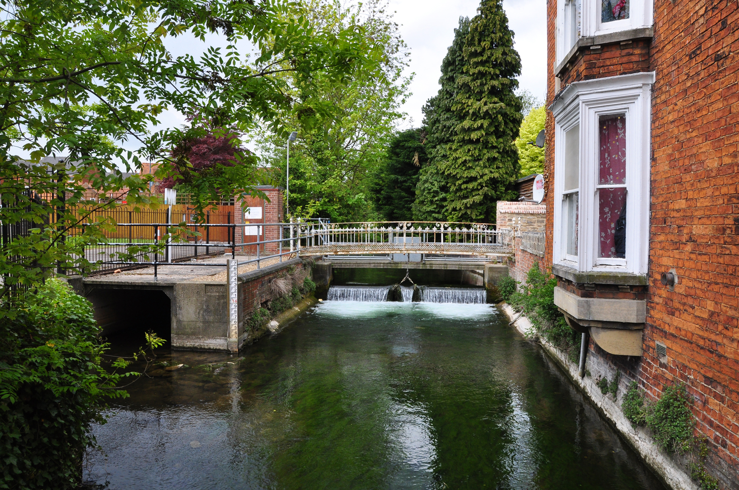
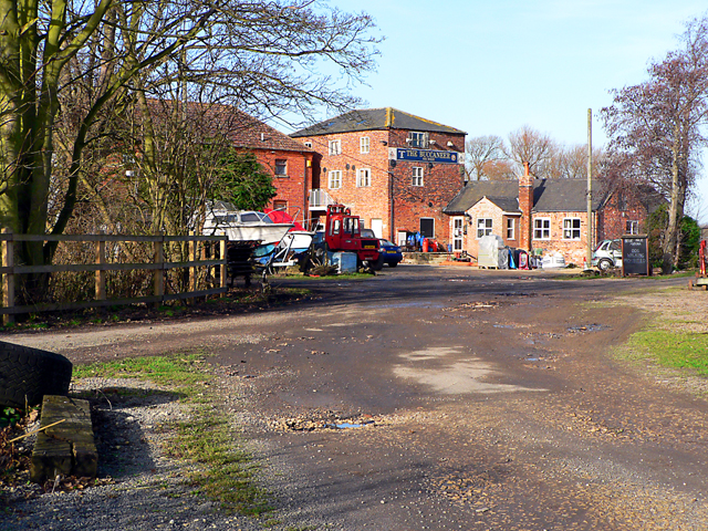
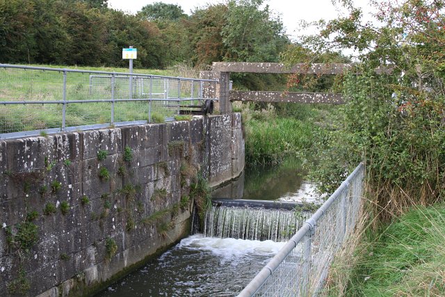
Chapel Hill Images

Images are sourced within 2km of 53.073183/-0.199816 or Grid Reference TF2054. Thanks to Geograph Open Source API. All images are credited.

The Packet Inn, Dogdyke Dogdyke was once a more important place than it is now. This was at the southern end of the Horncastle Canal where it joined the River Witham and there used to be a railway station on the now closed Boston to Lincoln line. There was also a ferry across the River Witham. Today the Packet Inn, built in 1924, survives.
The Packet Inn, Dogdyke
Dogdyke was once a more important place than it is now. This was at the southern end of the Horncastle Canal where it joined the River Witham and there used to be a railway station on the now closed Boston to Lincoln line. There was also a ferry across the River Witham. Today the Packet Inn, built in 1924, survives.
Choked The algae blooming on the surface of the River Witham at Tattershall Bridge makes the river look like a roadway rather than a waterway.
Choked
The algae blooming on the surface of the River Witham at Tattershall Bridge makes the river look like a roadway rather than a waterway.
Drain and Junction This road takes a sharp left turn to cross the drain over this bridge.
Drain and Junction
This road takes a sharp left turn to cross the drain over this bridge.
River Witham Looking south at Tattershall Bridge
River Witham
Looking south at Tattershall Bridge
Old Tattershall Bridge The main road now crosses the River Witham via a new bridge, the old bridge only carries pedestrians today.
Old Tattershall Bridge
The main road now crosses the River Witham via a new bridge, the old bridge only carries pedestrians today.
The Kyme Eau near Chapel Hill This is a natural watercourse, improved for drainage and navigation (since abandoned), and is the continuation of the River Slea.
The Kyme Eau near Chapel Hill
This is a natural watercourse, improved for drainage and navigation (since abandoned), and is the continuation of the River Slea.
Chapel Hill Pumping Station near Billinghay Note the right-of-way signs with the modern designation of Restricted Byway.
Chapel Hill Pumping Station near Billinghay
Note the right-of-way signs with the modern designation of Restricted Byway.
Fenland farmland near Tattershall Bridge
Bovine reflections Grazing cattle reflected in a calm River Witham near Tattershall Bridge
Bovine reflections
Grazing cattle reflected in a calm River Witham near Tattershall Bridge
Twenty Foot Drain Looking northwest from Home Farm corner
Twenty Foot Drain
Looking northwest from Home Farm corner
Twenty Foot Drain Bridge Bridge over the drain by Home Farm Cottages
Twenty Foot Drain Bridge
Bridge over the drain by Home Farm Cottages
Twenty Foot Drain Twenty Foot Drain and track by Home Farm Cottages
Twenty Foot Drain
Twenty Foot Drain and track by Home Farm Cottages
Twenty Foot Bank Typically undulating drainside fen road by Twenty Foot Drain
Twenty Foot Bank
Typically undulating drainside fen road by Twenty Foot Drain
Twenty Foot Drain
Twenty Foot Drain
Drain off Twenty Foot Bank
Twenty Foot Bank Heading south east.
Twenty Foot Bank
Heading south east.
Flat farmland, Billinghay Dales Off Twenty Foot Bank.
Flat farmland, Billinghay Dales
Off Twenty Foot Bank.
Drain off Twenty Foot Bank
Show me another place!

Chapel Hill is located at Grid Ref: TF2054 (Lat: 53.073183, Lng: -0.199816)

Division: Parts of Kesteven

Administrative County: Lincolnshire

District: North Kesteven

Police Authority: Lincolnshire

What 3 Words

///silence.comforted.albums. Near Coningsby, Lincolnshire

Nearby Locations

Chapel Hill

Related Wikis

River Slea

The River Slea is a 36.4-kilometre-long (22.6 mi) tributary of the River Witham, in Lincolnshire, England. In 1872 the river was described as "a never...

Dogdyke

Dogdyke is a hamlet in the North Kesteven district of Lincolnshire, England. It is situated approximately 2 miles (3 km) south from Tattershall, and at...

River Bain

The River Bain is a river in Lincolnshire, England, and a tributary of the River Witham.The Bain rises in the Lincolnshire Wolds at Ludford, a village...

Dogdyke railway station

Dogdyke railway station was a station on the former Great Northern Railway between Boston and Lincoln.The station, and essentially the hamlet of Dogdyke...

Nearby Amenities

Located within 500m of 53.073183,-0.199816
Chapel Hill
Is In: Lincolnshire, England, UK
Place: village
Source: npe
Lat/Long: 53.0714586/-0.1987839
Source: OS_OpenData _StreetView
Lat/Long: 53.0715691/-0.1988791
Source: OS_OpenData _StreetView
Lat/Long: 53.0733464/-0.2013357
Source: OS_OpenData _StreetView
Lat/Long: 53.0749374/-0.2013062
Source: OS_OpenData _StreetView
Lat/Long: 53.0755408/-0.2015075
Source: OS_OpenData _StreetView
Lat/Long: 53.0765181/-0.2018398
Source: OS_OpenData _StreetView
Lat/Long: 53.0766294/-0.2013376
Source: OS_OpenData _StreetView
Lat/Long: 53.0773609/-0.1991239
Source: OS_OpenData _StreetView
Lat/Long: 53.0700577/-0.1957835
Source: OS_OpenData _StreetView
Lat/Long: 53.0740542/-0.196835
Source: OS_OpenData _StreetView
Lat/Long: 53.0762973/-0.1966204
Source: OS_OpenData _StreetView
Lat/Long: 53.0769361/-0.1990966
Source: OS_OpenData _StreetView
Lat/Long: 53.0767679/-0.1995617
Source: OS_OpenData _StreetView
Lat/Long: 53.0723914/-0.2001024
Source: OS_OpenData _StreetView
Lat/Long: 53.0704475/-0.1991276
Source: OS_OpenData _StreetView
Lat/Long: 53.0754304/-0.1981525
Source: OS_OpenData _StreetView
Lat/Long: 53.0748013/-0.1979465
Source: OS_OpenData _StreetView
Lat/Long: 53.0708671/-0.1990038
Source: OS_OpenData _StreetView
Lat/Long: 53.0713489/-0.1988312
Source: OS_OpenData _StreetView
Lat/Long: 53.0714548/-0.1988171
Source: OS_OpenData _StreetView
Lat/Long: 53.0716722/-0.1990042
Source: OS_OpenData _StreetView
Lat/Long: 53.0719964/-0.199593
Source: OS_OpenData _StreetView
Lat/Long: 53.0731727/-0.2011247
Source: OS_OpenData _StreetView
Lat/Long: 53.0732827/-0.2012675
Source: OS_OpenData _StreetView
Lat/Long: 53.0735286/-0.2014242
Source: OS_OpenData _StreetView
Lat/Long: 53.075268/-0.2013005
Source: OS_OpenData _StreetView
Lat/Long: 53.0757177/-0.2015706
Source: OS_OpenData _StreetView
Lat/Long: 53.0768143/-0.1992441
Bus Stop
Witham Drive
Naptan AtcoCode: 270000009244
Naptan Bearing: S
Naptan CommonName: Witham Drive
Naptan Indicator: adj
Naptan Landmark: Witham Drive
Naptan NaptanCode: linjajgw
Naptan Street: North Forty Foot Bank
Naptan Verified: no
Source: naptan_import
Lat/Long: 53.0740589/-0.2012916
Bus Stop
Witham Drive
Naptan AtcoCode: 270000009245
Naptan Bearing: N
Naptan CommonName: Witham Drive
Naptan Indicator: opp
Naptan Landmark: Witham Drive
Naptan NaptanCode: linjajma
Naptan Street: North Forty Foot Bank
Naptan Verified: no
Source: naptan_import
Lat/Long: 53.0741689/-0.2014362
Bus Stop
The Crown Inn
Naptan AtcoCode: 2700LCHW1175
Naptan Bearing: N
Naptan CommonName: The Crown Inn
Naptan Indicator: adj
Naptan Landmark: The Crown Inn
Naptan NaptanCode: linajdtm
Naptan Street: North Forty Foot Bank
Naptan Verified: no
Source: naptan_import
Lat/Long: 53.0708875/-0.1990652
Pub
The Crown Lodge
Lat/Long: 53.0715623/-0.1987029
Source: OS_OpenData _StreetView
Lat/Long: 53.0772011/-0.1986959
Source: OS_OpenData _StreetView
Lat/Long: 53.0715059/-0.1967153
Source: OS_OpenData _StreetView
Lat/Long: 53.075838/-0.1979524
Source: OS_OpenData _StreetView
Lat/Long: 53.0694109/-0.1960936
Source: OS_OpenData _StreetView
Lat/Long: 53.0766081/-0.1984331
Source: OS_OpenData _StreetView
Lat/Long: 53.0748638/-0.1974845
Source: OS_OpenData _StreetView
Lat/Long: 53.0735699/-0.1972153
Source: OS_OpenData _StreetView
Lat/Long: 53.0696176/-0.1962274
Source: OS_OpenData _StreetView
Lat/Long: 53.0698849/-0.1959549
Source: OS_OpenData _StreetView
Lat/Long: 53.0699314/-0.1967386
Source: OS_OpenData _StreetView
Lat/Long: 53.0759585/-0.1983336
Source: OS_OpenData _StreetView
Lat/Long: 53.0756793/-0.197559
Source: OS_OpenData _StreetView
Lat/Long: 53.0752886/-0.1978928
Source: OS_OpenData _StreetView
Lat/Long: 53.0770924/-0.1983538
Source: OS_OpenData _StreetView
Lat/Long: 53.0764383/-0.1980874
Source: OS_OpenData _StreetView
Lat/Long: 53.0736946/-0.197499
Source: OS_OpenData _StreetView
Lat/Long: 53.0744826/-0.1976688
Source: OS_OpenData _StreetView
Lat/Long: 53.0715474/-0.1964472
Source: OS_OpenData _StreetView
Lat/Long: 53.0768495/-0.1989005
Source: OS_OpenData _StreetView
Lat/Long: 53.0751522/-0.1973431
Source: OS_OpenData _StreetView
Lat/Long: 53.074211/-0.197118
Source: OS_OpenData _StreetView
Lat/Long: 53.0753906/-0.1979578
Source: OS_OpenData _StreetView
Lat/Long: 53.0757046/-0.1981324
Source: OS_OpenData _StreetView
Lat/Long: 53.0760961/-0.1979082
Source: OS_OpenData _StreetView
Lat/Long: 53.0749963/-0.1978073
Source: OS_OpenData _StreetView
Lat/Long: 53.0773905/-0.1983768
Source: OS_OpenData _StreetView
Lat/Long: 53.0704737/-0.1961303
Source: OS_OpenData _StreetView
Lat/Long: 53.0726746/-0.197275
Source: OS_OpenData _StreetView
Lat/Long: 53.0772497/-0.1990108
Source: OS_OpenData _StreetView
Lat/Long: 53.0776278/-0.1990613
Source: OS_OpenData _StreetView
Lat/Long: 53.0730517/-0.1968148
Source: OS_OpenData _StreetView
Lat/Long: 53.0697793/-0.1970869
Riverview Caravan Park
Caravans: yes
Tents: yes
Tourism: camp_site
Lat/Long: 53.0745625/-0.1981161
Power: pole
Lat/Long: 53.0694536/-0.2023579
Power: pole
Source: Bing
Lat/Long: 53.0705583/-0.2025057
Power: pole
Source: Bing
Lat/Long: 53.0715993/-0.2026391
Power: pole
Lat/Long: 53.0726046/-0.2027539
Power: pole
Lat/Long: 53.0731678/-0.2036432
Power: pole
Lat/Long: 53.0741409/-0.2051496
Power: pole
Lat/Long: 53.0749759/-0.2064587
Power: pole
Lat/Long: 53.0692118/-0.1999846
Power: pole
Source: Bing
Lat/Long: 53.0699995/-0.2005993
Power: pole
Source: Bing
Lat/Long: 53.0705727/-0.2010347
Power: pole
Source: Bing
Lat/Long: 53.0709315/-0.201326
Power: pole
Source: Bing
Lat/Long: 53.0717576/-0.2019679
Power: pole
Source: Bing
Lat/Long: 53.0726155/-0.2026322
Power: pole
Source: Bing
Lat/Long: 53.0734397/-0.2032693
Power: pole
Lat/Long: 53.074012/-0.2016625
Power: pole
Lat/Long: 53.0740732/-0.2027288
Power: pole
Source: Bing
Lat/Long: 53.0741369/-0.2038007
Power: pole
Lat/Long: 53.0751572/-0.2053807
Power: pole
Source: Bing
Lat/Long: 53.0752072/-0.2046331
Power: pole
Lat/Long: 53.0752717/-0.2034886
Power: pole
Lat/Long: 53.0753525/-0.2022704
Power: pole
Lat/Long: 53.0754448/-0.2012732
Power: pole
Lat/Long: 53.0755352/-0.1996964
Power: pole
Lat/Long: 53.0755948/-0.1947261
Power: pole
Lat/Long: 53.0756111/-0.1984159
Power: pole
Lat/Long: 53.0756342/-0.1971705
Power: pole
Lat/Long: 53.0756496/-0.1963749
Power: pole
Source: Bing
Lat/Long: 53.0761785/-0.2053919
Power: pole
Lat/Long: 53.0769566/-0.1992283
Bench
Source: Bing
Lat/Long: 53.0706056/-0.1990022
Chapel Hill Bridge
Place: locality
Source: Bing
Lat/Long: 53.0703136/-0.1993137
The data included in this document is from www.openstreetmap.org. The data is made available under ODbL.

Have you been to Chapel Hill?

Leave your review of Chapel Hill below (or comments, questions and feedback).