Chapel Hill
Settlement in Monmouthshire
Wales
Chapel Hill
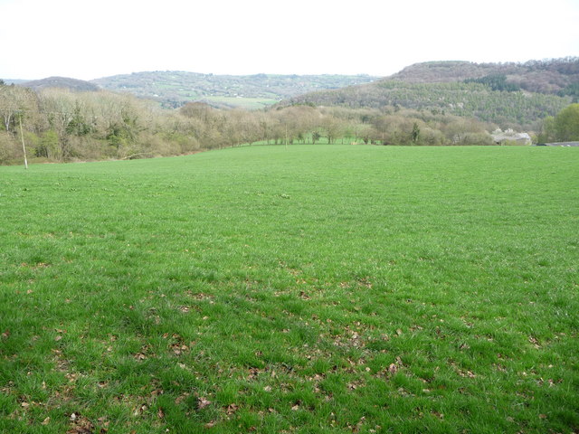
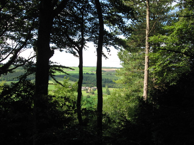
Chapel Hill is a picturesque village located in the county of Monmouthshire, Wales. Situated in the eastern part of the county, Chapel Hill is nestled in the beautiful Usk Valley, surrounded by rolling green hills and countryside. This charming village has a population of around 500 residents and is known for its peaceful and idyllic setting.
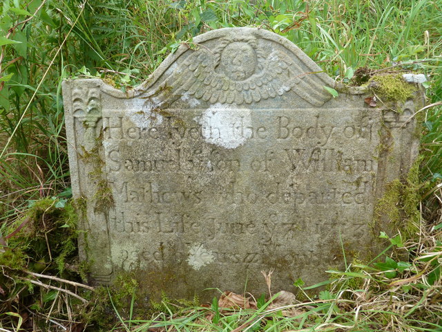
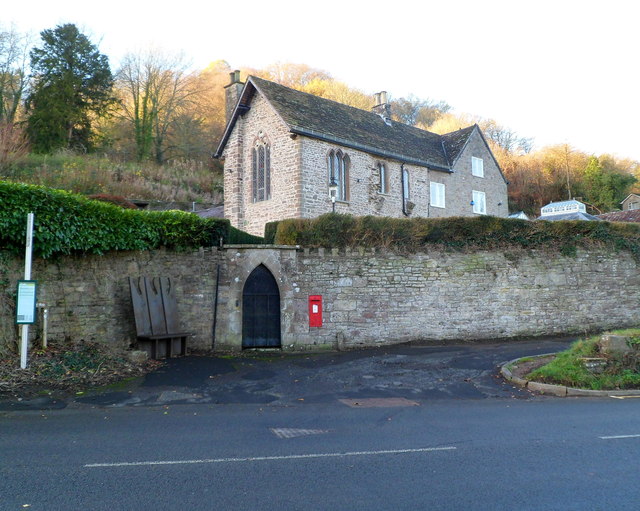
The village takes its name from the prominent chapel that graces its landscape. The chapel, which dates back to the 12th century, is a significant historical and architectural landmark in the area. It serves as a reminder of the village's rich heritage and religious importance.
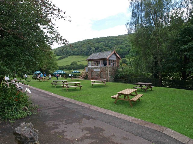
Chapel Hill offers a range of amenities for its residents and visitors. The village boasts a cozy pub serving traditional Welsh dishes and a local shop providing essential groceries. Additionally, the nearby town of Abergavenny offers a wider array of shops, restaurants, and recreational facilities, making it easily accessible for Chapel Hill residents.
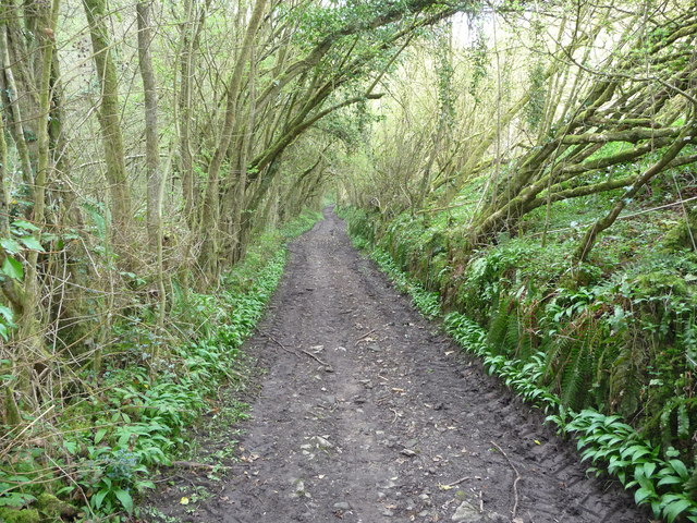
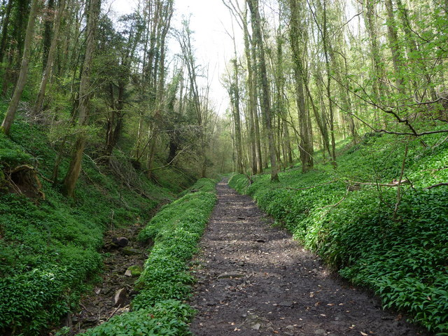
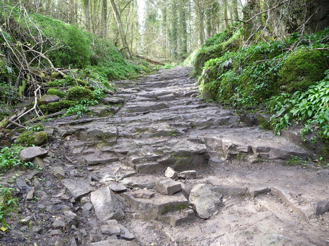
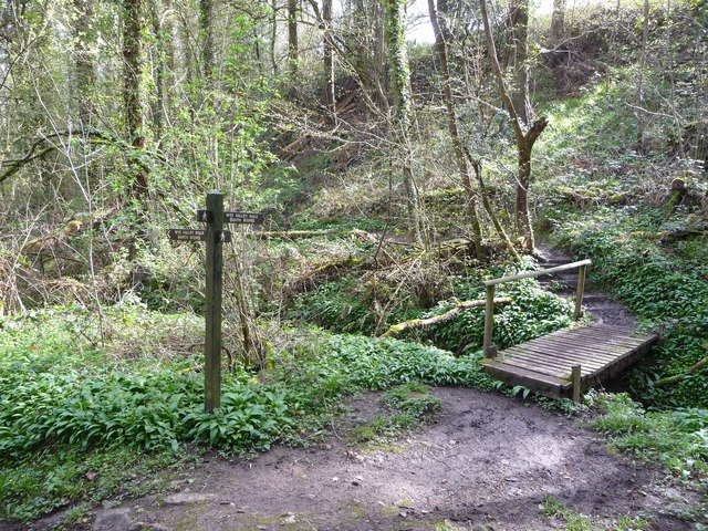
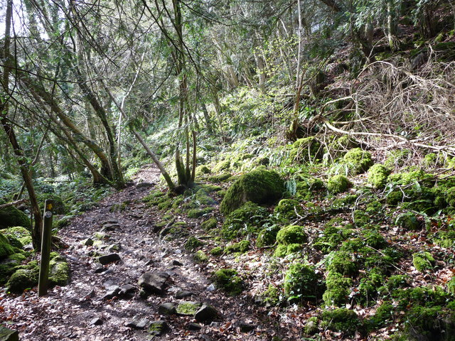
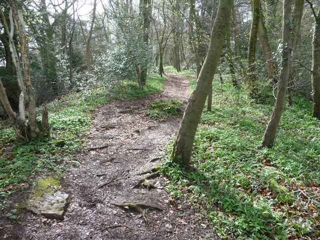
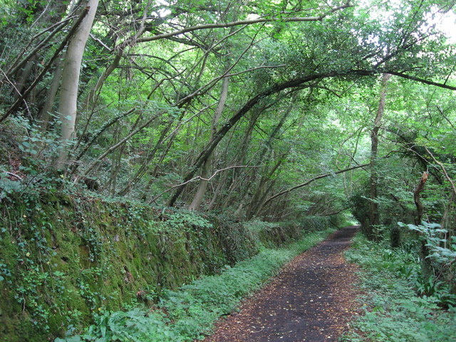
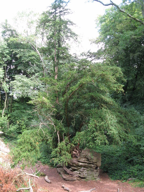
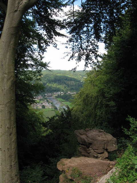
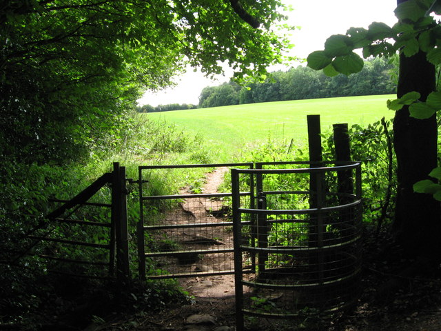
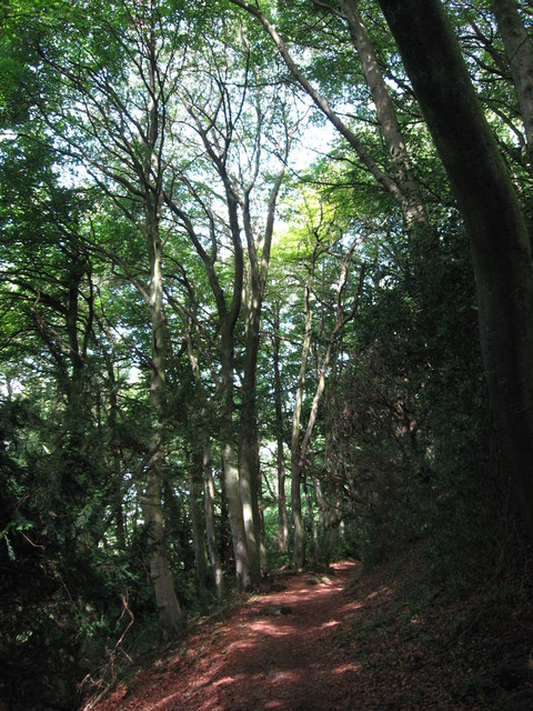
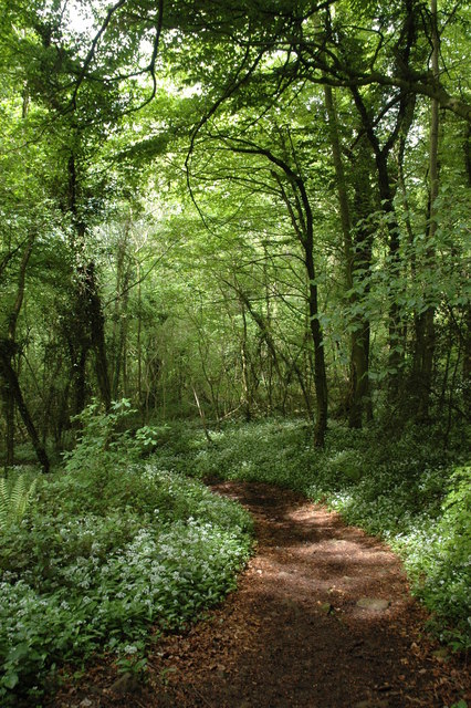
The surrounding natural beauty of Chapel Hill provides ample opportunities for outdoor activities and exploration. The village is close to the renowned Brecon Beacons National Park, offering stunning landscapes, hiking trails, and wildlife spotting. The nearby River Usk also provides opportunities for fishing and boating, attracting enthusiasts from far and wide.
Chapel Hill's close-knit community and tranquil atmosphere make it an ideal place for those seeking a peaceful rural lifestyle. The village's rich history, stunning surroundings, and proximity to amenities contribute to its appeal as a desirable place to live or visit in Monmouthshire.
If you have any feedback on the listing, please let us know in the comments section below.
Chapel Hill Images
Images are sourced within 2km of 51.697396/-2.689567 or Grid Reference SO5200. Thanks to Geograph Open Source API. All images are credited.
Chapel Hill is located at Grid Ref: SO5200 (Lat: 51.697396, Lng: -2.689567)
Unitary Authority: Monmouthshire
Police Authority: Gwent
What 3 Words
///abruptly.veal.slopes. Near Tintern, Monmouthshire
Nearby Locations
Related Wikis

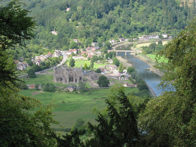
Tintern
Tintern (Welsh: Tyndyrn) is a village in the community of Wye Valley, on the west bank of the River Wye in Monmouthshire, Wales, close to the border with...

Tintern Wireworks Branch
The Tintern Wireworks Branch was a short branch line on the Wye Valley Railway, crossing the River Wye between Monmouthshire, Wales, and Gloucestershire...
St Anne's House, Tintern
St Anne's House, Tintern, Monmouthshire, is a house of early medieval origin which includes elements of the gatehouse and chapel of Tintern Abbey. The...

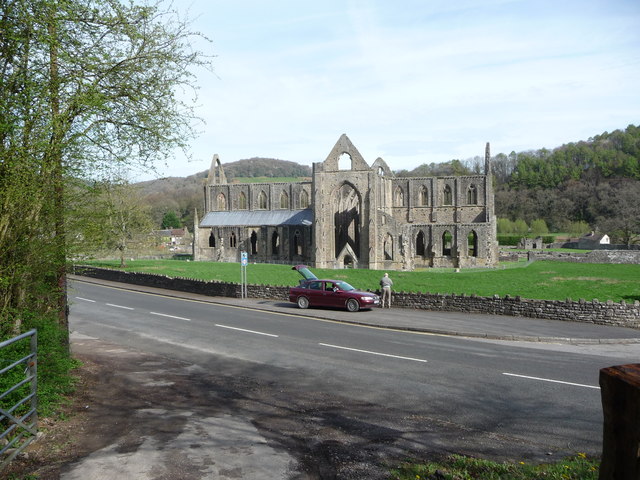
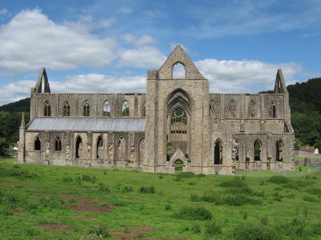
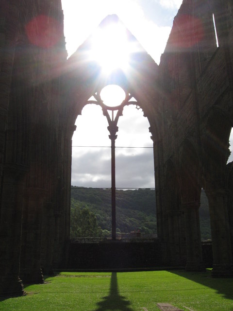
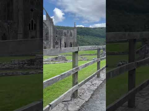
Tintern Abbey
Tintern Abbey (Welsh: Abaty Tyndyrn ) was founded on 9 May 1131 by Walter de Clare, Lord of Chepstow. It is situated adjacent to the village of Tintern...
Tintern railway station
Tintern railway station served the village of Tintern on the Wye Valley Railway. It was opened in 1876 and closed for passengers in 1959 and freight in...

Penterry
Penterry (Welsh: Penteri) is a small rural parish of 479 acres (1.94 km2) in Monmouthshire, Wales. It is located between the villages of St. Arvans and...
Lippets Grove
Lippets Grove (grid reference SO540000) is a 5-hectare (12-acre) nature reserve in Gloucestershire. The site was leased from the Forestry Commission in...

Shorn Cliff and Caswell Woods
Shorn Cliff And Caswell Woods (SO540005 & SO540990) is a 69.2-hectare (171-acre) biological Site of Special Scientific Interest in Gloucestershire, notified...
Related Videos
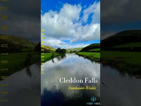
Tintern Abbey #travel #wyevalley #hiking #forest #adventure
Tintern abbey.


The Ruins of Tintern Abbey
Come walk with us through the ruins of Tintern Abbey, where flowers carpet the grounds of what was once a grand building.
Nearby Amenities
Located within 500m of 51.697396,-2.689567Have you been to Chapel Hill?
Leave your review of Chapel Hill below (or comments, questions and feedback).