Pond Covert
Wood, Forest in Roxburghshire
Scotland
Pond Covert
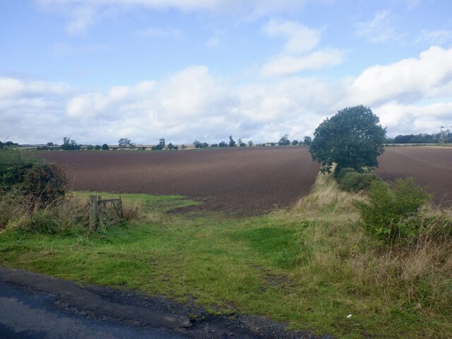
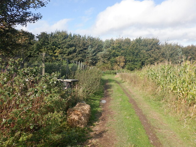
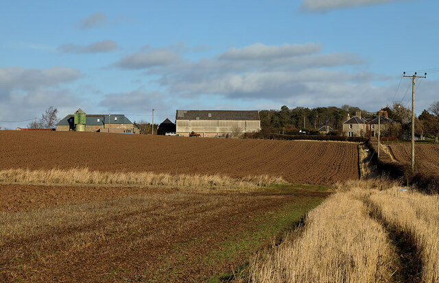
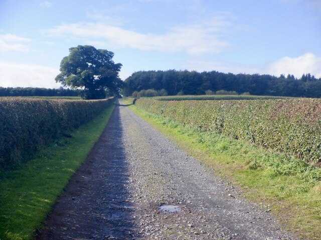
Pond Covert is a woodland area located in Roxburghshire, Scotland. It is situated within the scenic countryside of the Scottish Borders region. The covert is surrounded by picturesque rolling hills and offers a tranquil and serene environment for nature enthusiasts and outdoor lovers.
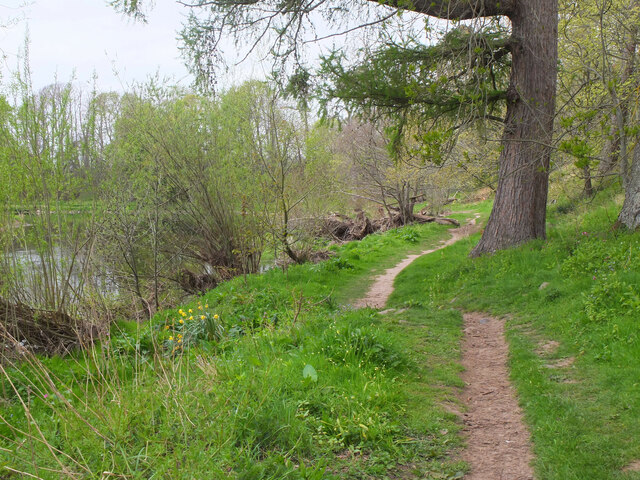
Covering an area of approximately 50 acres, Pond Covert is predominantly composed of native broadleaf trees such as oak, birch, and beech. These trees create a dense canopy, providing ample shade and shelter for a diverse range of flora and fauna. The woodland floor is carpeted with a rich assortment of wildflowers, ferns, and mosses, adding to the area's natural beauty.
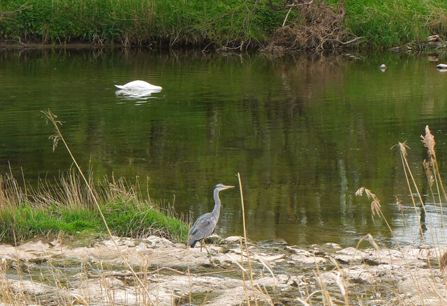
At the heart of the covert lies a small pond, which serves as a vital water source for various wildlife species. The pond is home to a variety of aquatic creatures, including frogs, newts, and dragonflies. Additionally, it attracts a wide range of bird species, making it a popular spot for birdwatching.
Pond Covert offers a network of well-maintained footpaths, allowing visitors to explore the woodland and discover its hidden treasures. The paths wind through the trees, offering glimpses of wildlife and providing opportunities for peaceful walks and picnics. The woodland is also home to several species of mammals, such as deer, foxes, and squirrels, which can often be spotted during a visit.
Overall, Pond Covert is a haven of natural beauty and biodiversity. Its tranquil atmosphere, diverse plant and animal life, and scenic surroundings make it a popular destination for nature lovers and those seeking a peaceful escape from the hustle and bustle of everyday life.
If you have any feedback on the listing, please let us know in the comments section below.
Pond Covert Images
Images are sourced within 2km of 55.602444/-2.4824031 or Grid Reference NT6934. Thanks to Geograph Open Source API. All images are credited.


Pond Covert is located at Grid Ref: NT6934 (Lat: 55.602444, Lng: -2.4824031)
Unitary Authority: The Scottish Borders
Police Authority: The Lothians and Scottish Borders
What 3 Words
///argue.wizard.alley. Near Kelso, Scottish Borders
Nearby Locations
Related Wikis
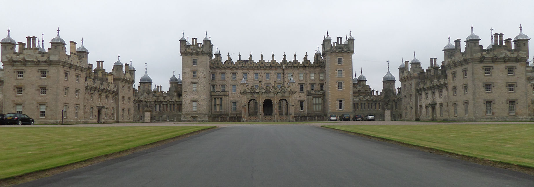
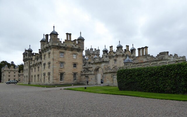
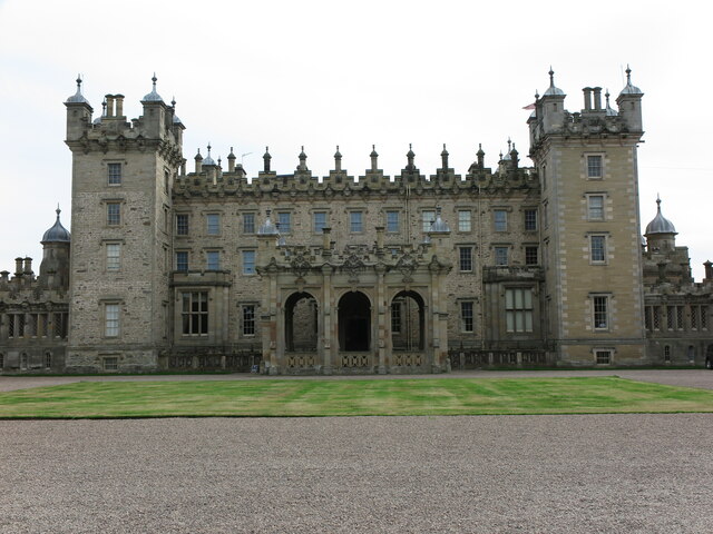
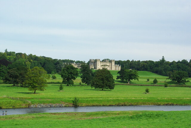
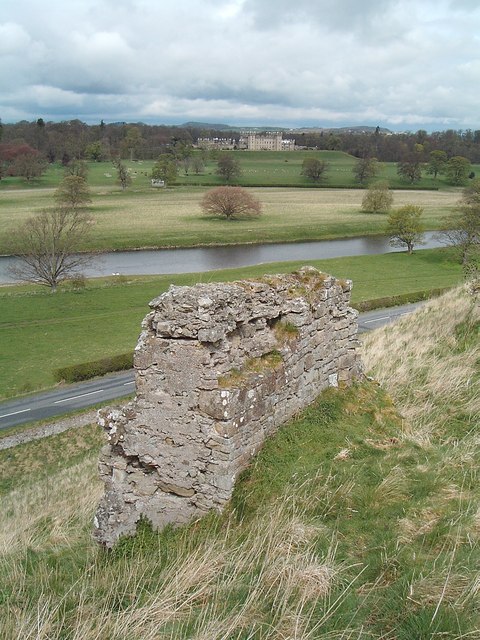
Floors Castle
Floors Castle, in Roxburghshire, south-east Scotland, is the seat of the Duke of Roxburghe. Despite its name it is an estate house rather than a fortress...

Capture of Roxburgh (1460)
The capture of Roxburgh was a siege that took place during the Anglo-Scottish Wars. James II of Scotland had started a campaign to recapture Roxburgh and...
Capture of Roxburgh (1314)
The Capture of Roxburgh was a siege that took place in 1314, which was a major conflict in the First War of Scottish Independence. This siege was a prelude...
Roxburgh Castle
Roxburgh Castle is a ruined royal castle that overlooks the junction of the rivers Tweed and Teviot, in the Borders region of Scotland. The town and castle...
Roxburgh
Roxburgh () is a civil parish and formerly a royal burgh, in the historic county of Roxburghshire in the Scottish Borders, Scotland. It was an important...

Kelso Hospital
Kelso Hospital, also known as Inch Hospital, is a health facility at Inch Road in Kelso, Scotland. It is managed by NHS Borders. == History == The hospital...

Kelso Town Hall
Kelso Town Hall is a municipal building in The Square, Kelso, Scotland. The building, which was the headquarters of Kelso Burgh Council, is a Category...

Kelso, Scottish Borders
Kelso is a market town in the Scottish Borders area of Scotland. Within the boundaries of the historic county of Roxburghshire, it lies where the rivers...
Nearby Amenities
Located within 500m of 55.602444,-2.4824031Have you been to Pond Covert?
Leave your review of Pond Covert below (or comments, questions and feedback).