Chapel Head

Settlement in Huntingdonshire Huntingdonshire

England

Chapel Head

Fox Hole trig - looking SSE
Fox Hole trig - looking SSE Credit: Iain Macaulay

The requested URL returned error: 429 Too Many Requests

If you have any feedback on the listing, please let us know in the comments section below.

Chapel Head Images

Images are sourced within 2km of 52.415905/-0.02819 or Grid Reference TL3481. Thanks to Geograph Open Source API. All images are credited.

Fox Hole trig - looking SSE
New Barn Drove
New Barn Drove
Fenside road passes a bridleway Fenside road passes a bridleway
Fenside road passes a bridleway
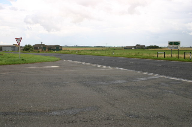
Fenside road junction with the A141 at Chapel Head Fenside road junction with the A141 at Chapel Head
Fenside road junction with the A141 at Chapel Head
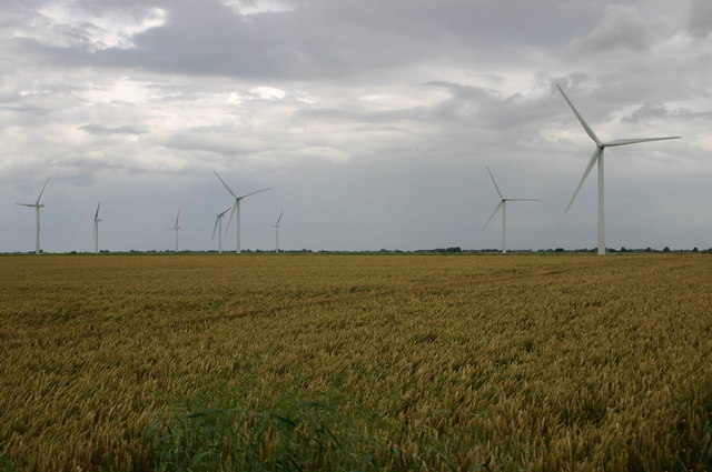
Wind farm field by the A141 Wind farm field by the A141
Wind farm field by the A141
First Broadpool Drove First Broadpool Drove passes the straw bales
First Broadpool Drove
First Broadpool Drove passes the straw bales
Second Turf Fen Drove Second Turf Fen Drove heads up to Cross Drove
Second Turf Fen Drove
Second Turf Fen Drove heads up to Cross Drove
Lane up to Rowey Farm Lane up to Rowey Farm on Warboys Heath
Lane up to Rowey Farm
Lane up to Rowey Farm on Warboys Heath
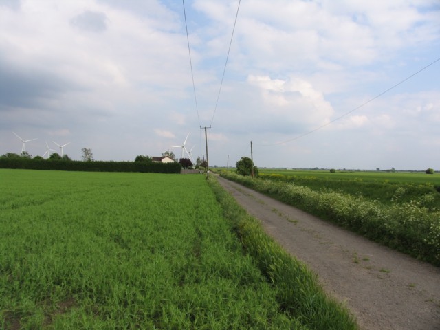
Bridleway to Rowey Farm This bridleway runs south-east from the A141 at Warboys Heath.
Bridleway to Rowey Farm
This bridleway runs south-east from the A141 at Warboys Heath.
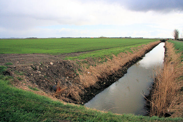
Catchwater Drain Viewed from Second Turf Fen Drove, the winter wheat is starting to appear in the low-lying fields.  The narrow ditch is named Catchwater Drain.
Catchwater Drain
Viewed from Second Turf Fen Drove, the winter wheat is starting to appear in the low-lying fields. The narrow ditch is named Catchwater Drain.
Old Broadpool This area east of Ramsey lies below sea-level. In the distance are the wind turbines at Tick Fen (known as Red Tile Wind Farm).
Old Broadpool
This area east of Ramsey lies below sea-level. In the distance are the wind turbines at Tick Fen (known as Red Tile Wind Farm).
Warboys High Fen From the end of the public road at High Fen Crooked Drove, this unnamed drain leads to the larger Twenty Foot Drain.
Warboys High Fen
From the end of the public road at High Fen Crooked Drove, this unnamed drain leads to the larger Twenty Foot Drain.
Long Drove, Pidley Fen This track leads to farmland at Pidley Fen and to Fen House.
Long Drove, Pidley Fen
This track leads to farmland at Pidley Fen and to Fen House.
High Fen Farm Looking east from Crooked Drove across a bleak Fenland landscape.
High Fen Farm
Looking east from Crooked Drove across a bleak Fenland landscape.
Warner's Drove Looking north-west along Warner's Drove
Warner's Drove
Looking north-west along Warner's Drove
Small drain parallel to Warner's Drove Looking north-west this drain is parallel to Warner's Drove
Small drain parallel to Warner's Drove
Looking north-west this drain is parallel to Warner's Drove
Warner's Drove Looking south-east
Warner's Drove
Looking south-east
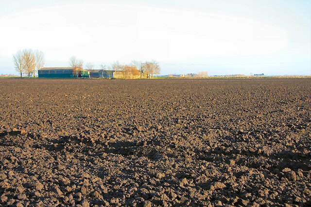
Harrow near Warner's Drove Overlooking ploughed field, thin clump of trees and in the background Dovecote Farm.
Harrow near Warner's Drove
Overlooking ploughed field, thin clump of trees and in the background Dovecote Farm.
Show me another place!

Chapel Head is located at Grid Ref: TL3481 (Lat: 52.415905, Lng: -0.02819)

Administrative County: Cambridgeshire

District: Huntingdonshire

Police Authority: Cambridgeshire

What 3 Words

///careful.crunches.proof. Near Warboys, Cambridgeshire

Nearby Locations

Chapel Head

Related Wikis

Pingle Cutting

Pingle Cutting is a 1.0-hectare (2.5-acre) nature reserve north of Warboys in Cambridgeshire. It is managed by the Wildlife Trust for Bedfordshire, Cambridgeshire...

Warboys railway station

Warboys railway station was a railway station in Warboys, Cambridgeshire, which opened in 1889 and closed completely in 1964. == References == == External... ==

Warboys

Warboys is a large village and civil parish in the Huntingdonshire district of Cambridgeshire, England, 7 miles (11 km) north-east of Huntingdon. ��2...

Warboys Clay Pit

Warboys Clay Pit is a 12.6-hectare (31-acre) geological Site of Special Scientific Interest west of Warboys in Cambridgeshire. It is a Geological Conservation...

Nearby Amenities

Located within 500m of 52.415905,-0.02819
Power: pole
Lat/Long: 52.4152139/-0.0334526
Power: pole
Lat/Long: 52.4149834/-0.0352953
Power: pole
Lat/Long: 52.4151208/-0.0341394
Animal Boarding
Afrikadawns Dog Boarding Kennels
Phone: +44 1487 822630
Website: http://africandawnsdogtraining.co.uk
Lat/Long: 52.4151941/-0.0350893
Place: farm
Lat/Long: 52.4188673/-0.025277
Building: yes
Lat/Long: 52.4158913/-0.0313918
Chapel Head
Historic: archaeological_site
Note: Time Team Excavations Feb 2009
Lat/Long: 52.4159339/-0.0278843
The data included in this document is from www.openstreetmap.org. The data is made available under ODbL.

Have you been to Chapel Head?

Leave your review of Chapel Head below (or comments, questions and feedback).