Brathens Wood
Wood, Forest in Kincardineshire
Scotland
Brathens Wood
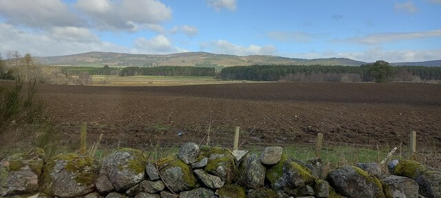
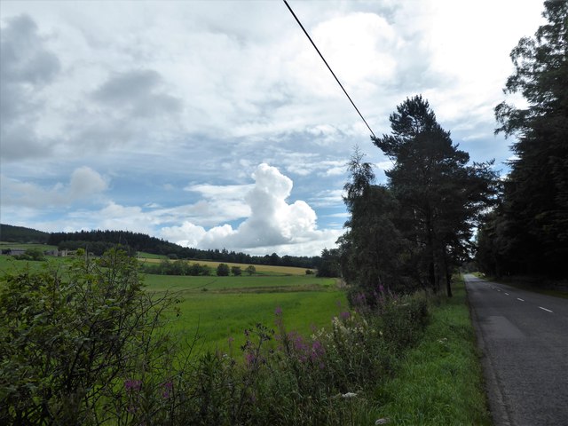
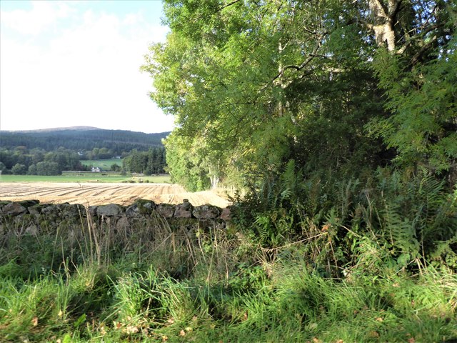
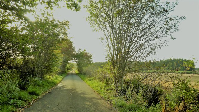
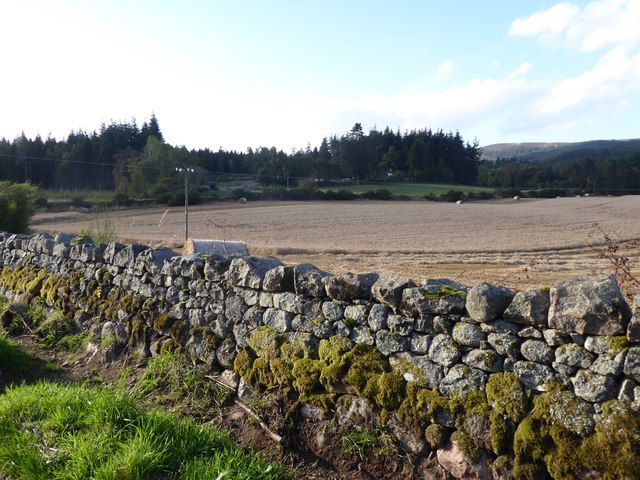
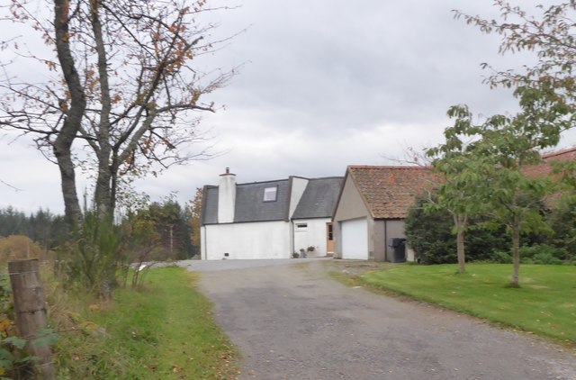
Brathens Wood is a picturesque woodland located in Kincardineshire, Scotland. Covering an area of approximately 200 acres, it is known for its natural beauty and diverse range of flora and fauna. The wood is situated near the village of Glassel, just a short drive from the town of Banchory.
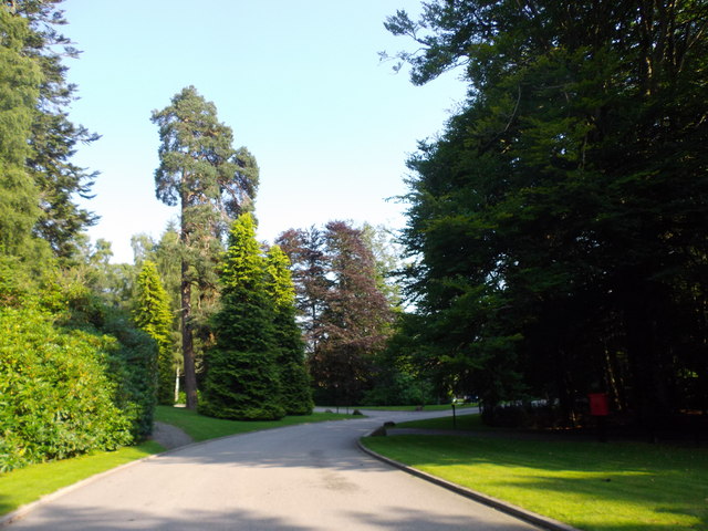
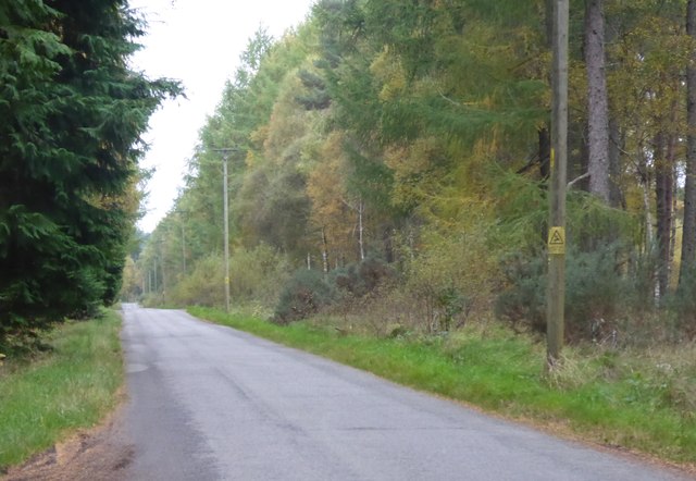
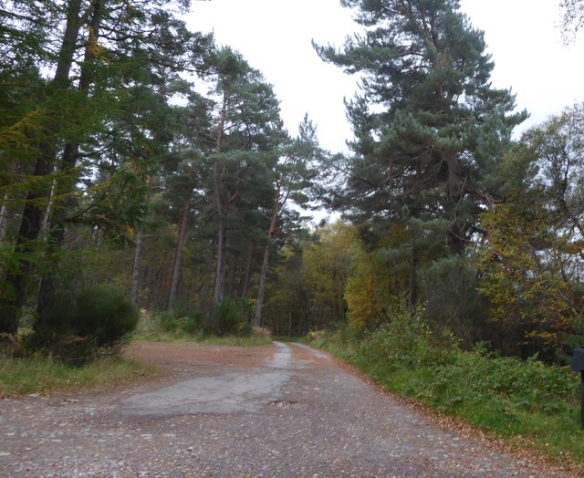
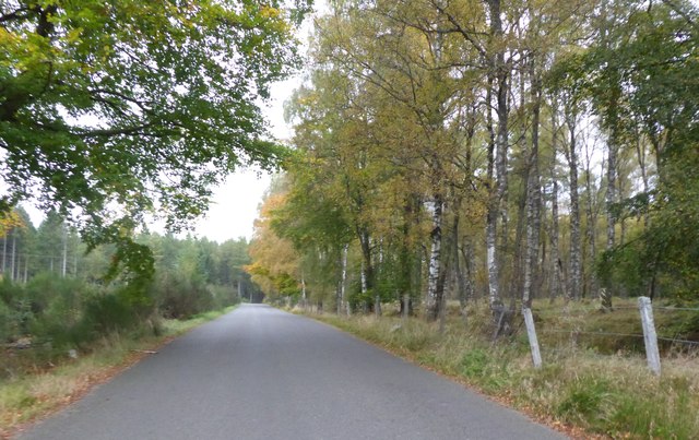
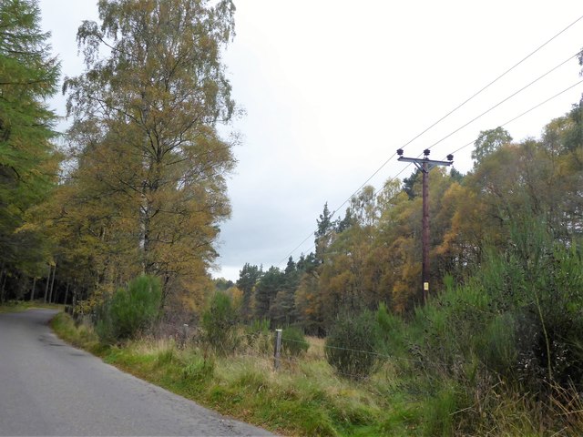
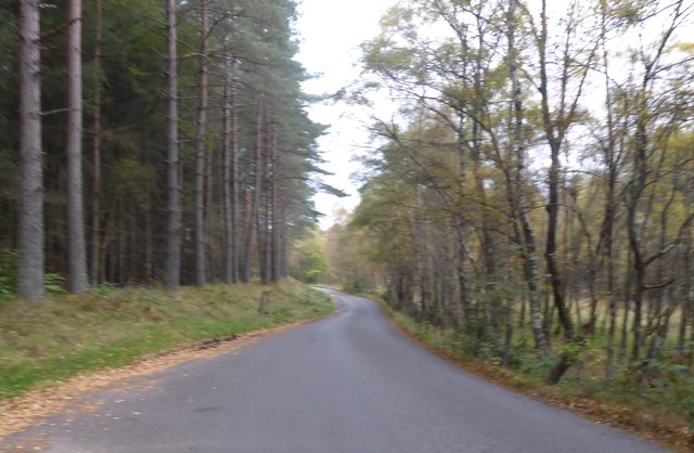
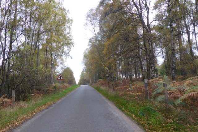
As visitors enter Brathens Wood, they are immediately greeted by a vibrant and enchanting atmosphere. The woodland is predominantly composed of mixed broadleaf trees, including oak, birch, and beech, creating a rich and varied ecosystem. The towering trees provide a refreshing canopy of shade during the summer months, making it an ideal destination for outdoor enthusiasts seeking shelter from the sun.
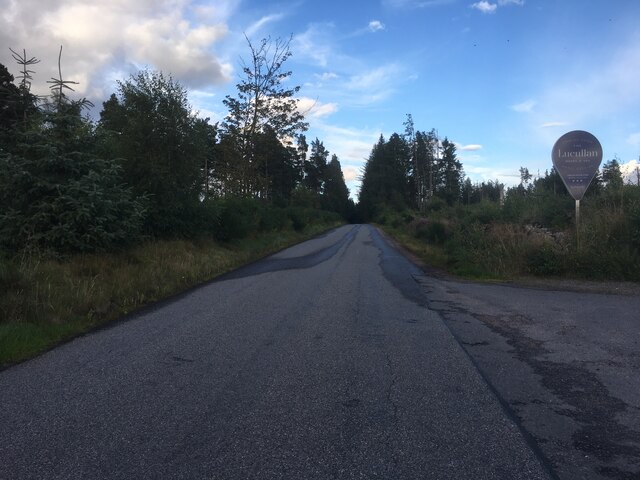
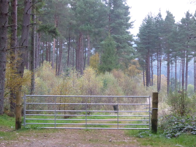
The wood is intersected by several well-maintained walking trails, allowing visitors to explore the area at their own pace. These paths meander through the ancient woodland, offering glimpses of sparkling streams, moss-covered rocks, and delicate wildflowers. Birdwatchers will find joy in spotting a variety of species, including woodpeckers, owls, and finches, while lucky visitors may encounter small mammals such as red squirrels and roe deer.
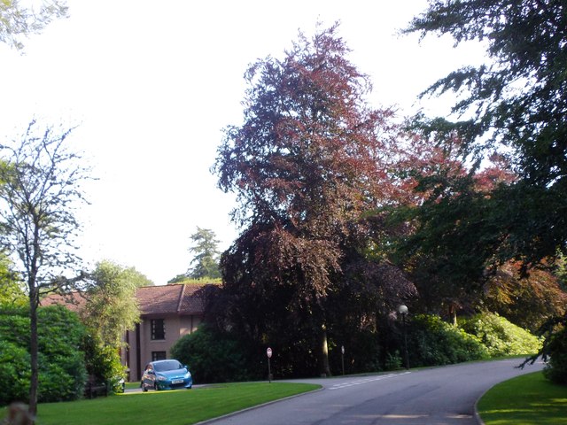
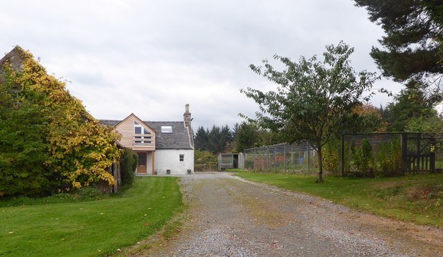
Brathens Wood is not only a haven for wildlife but also a popular recreational spot for locals and tourists alike. It offers a range of activities, including picnicking, nature photography, and nature walks. The wood is also home to a small visitor center where visitors can learn more about the history and ecology of the area.
In conclusion, Brathens Wood is a stunning woodland retreat that showcases the natural beauty of Kincardineshire. With its diverse wildlife, scenic trails, and tranquil ambiance, it is a must-visit destination for anyone seeking solace in nature.
If you have any feedback on the listing, please let us know in the comments section below.
Brathens Wood Images
Images are sourced within 2km of 57.070982/-2.5165438 or Grid Reference NO6897. Thanks to Geograph Open Source API. All images are credited.
Brathens Wood is located at Grid Ref: NO6897 (Lat: 57.070982, Lng: -2.5165438)
Unitary Authority: Aberdeenshire
Police Authority: North East
What 3 Words
///section.recur.grasp. Near Banchory, Aberdeenshire
Nearby Locations
Related Wikis

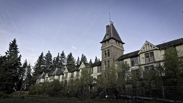
Glen o' Dee Hospital
Glen o' Dee Hospital is situated in the west end of Banchory, Aberdeenshire, Scotland. It is a small community hospital that provides services for the...

Brathens
Brathens is a village in Aberdeenshire, Scotland. == References ==

Raemoir House
Raemoir House is a Category B listed Georgian mansion house located in Banchory, Aberdeenshire, Scotland. Its origins date back to the Ha'Hoose (Hall House...

Cluny Crichton Castle
Cluny Crichton Castle (also known as Clounie Crighton Castle) is a ruined 3-story tower house on the southern slopes of the Hill of Fare in Aberdeenshire...
Nearby Amenities
Located within 500m of 57.070982,-2.5165438Have you been to Brathens Wood?
Leave your review of Brathens Wood below (or comments, questions and feedback).