Brunt Hill Strips

Wood, Forest in East Lothian

Scotland

Brunt Hill Strips

Newly planted stripwood, Spott
Newly planted stripwood, Spott Credit: Richard Webb

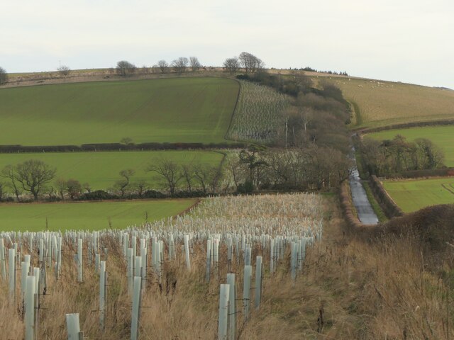
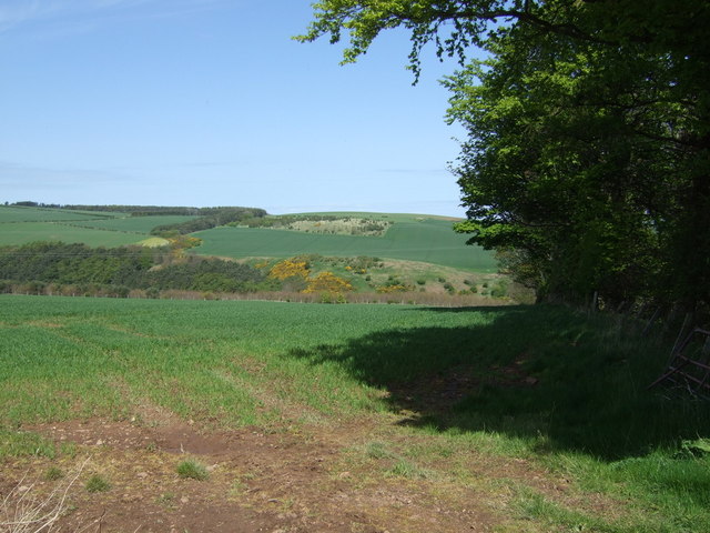
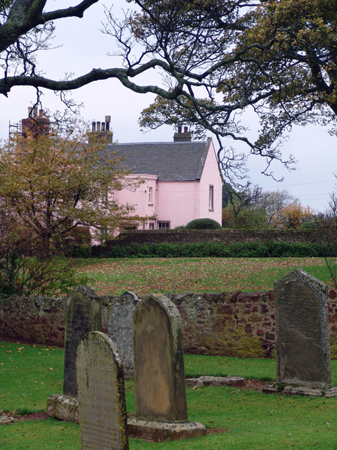
Brunt Hill Strips is a picturesque wooded area located in East Lothian, Scotland. Covering an expansive area, this forest is known for its diverse range of flora and fauna, making it a popular destination for nature enthusiasts and hikers alike.

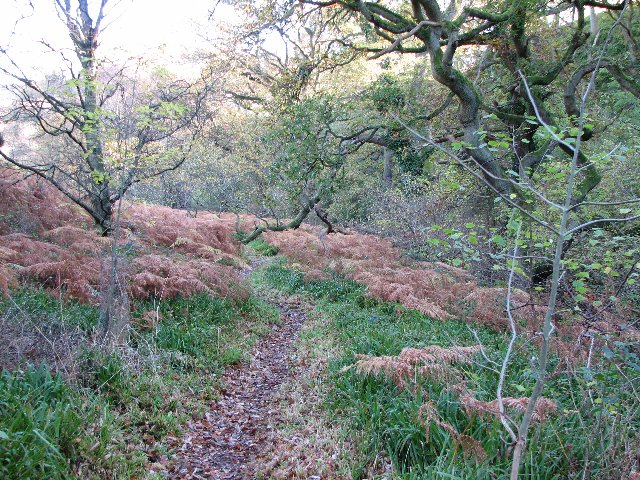
The forest is predominantly made up of native Scottish tree species, including oak, birch, and pine, which provide a dense and lush canopy overhead. The forest floor is covered in a thick layer of moss and ferns, creating a serene and tranquil atmosphere.

Various walking trails have been established throughout Brunt Hill Strips, allowing visitors to explore the forest and immerse themselves in its natural beauty. These trails range in difficulty, catering to both casual strollers and avid hikers. Along the way, visitors may encounter a variety of wildlife, such as red squirrels, deer, and numerous bird species.

Additionally, the forest is home to a small stream, which meanders through the woodland, adding to the overall charm of the area. The sound of trickling water and the occasional glimpse of a sparkling pool provide a peaceful backdrop to the forest experience.

Brunt Hill Strips offers a retreat from the hustle and bustle of urban life, providing an opportunity to reconnect with nature and enjoy the tranquility of the Scottish countryside. With its beautiful woodland scenery, diverse wildlife, and well-maintained trails, it is no wonder that Brunt Hill Strips is a beloved destination for outdoor enthusiasts and nature lovers in East Lothian.

If you have any feedback on the listing, please let us know in the comments section below.

Brunt Hill Strips Images

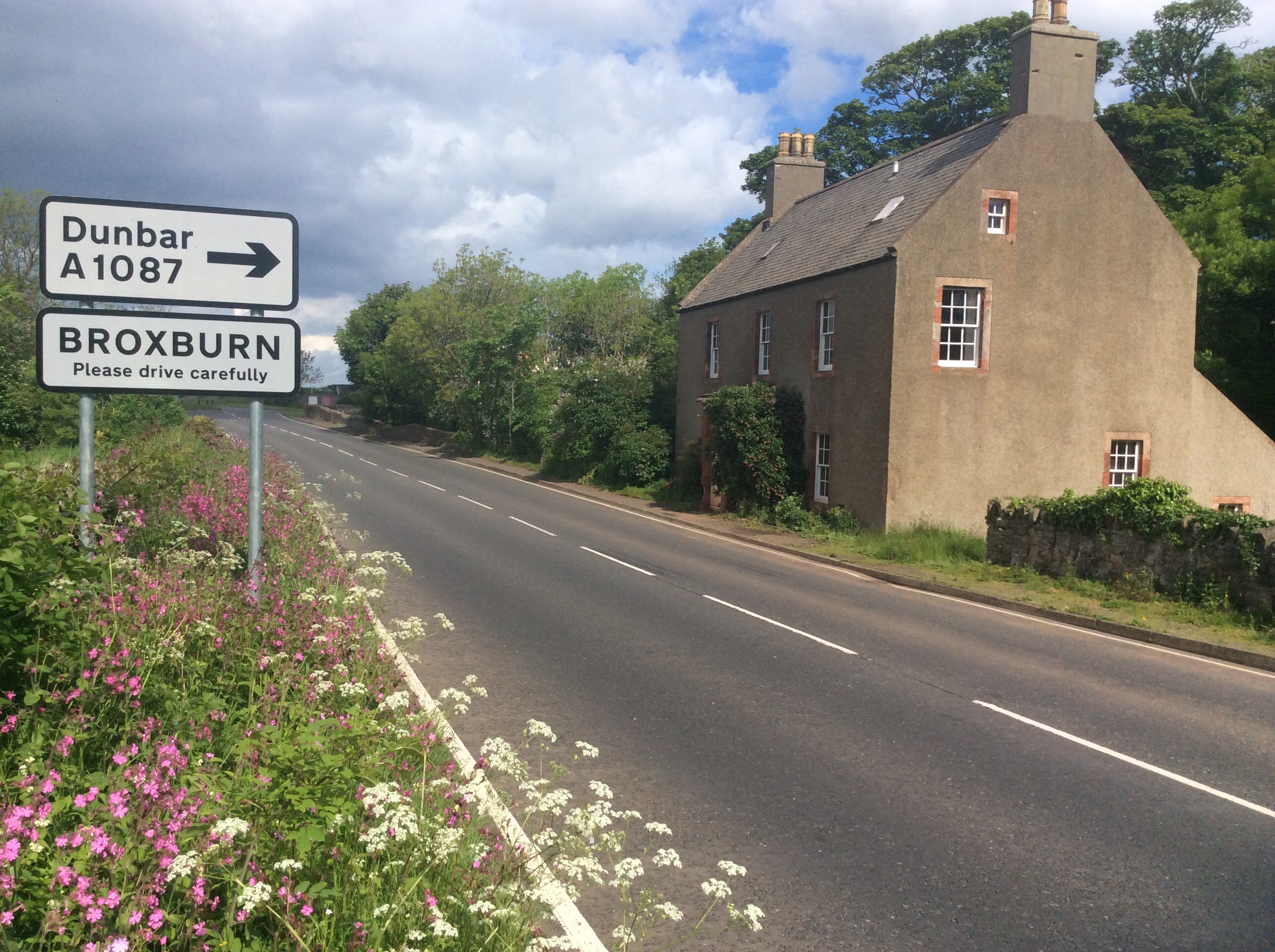
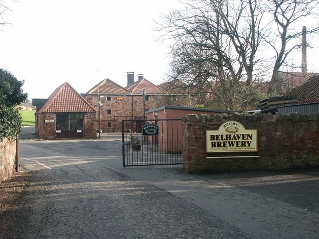
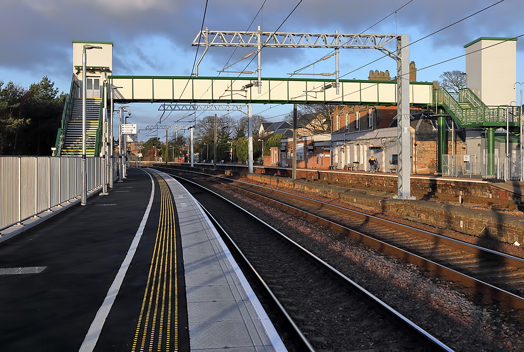
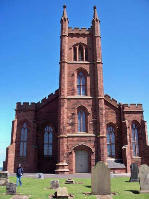
Images are sourced within 2km of 55.962418/-2.504061 or Grid Reference NT6874. Thanks to Geograph Open Source API. All images are credited.

Newly planted stripwood, Spott
Beehive Doocot at Meikle Pinkerton
Wheatfields , Meikle Pinkerton Still standing, a neighbouring field was being combined at the time. Taken from the turn off to Doon Hill.
Wheatfields , Meikle Pinkerton
Still standing, a neighbouring field was being combined at the time. Taken from the turn off to Doon Hill.
Road leading towards A1 near Pinkerton Farm
East Lothian Farms : Meikle Pinkerton, near Dunbar
East Lothian Landscape ; Field Tramlines Near Thurston Manor A view north from a point just to the north of the Thurston Manor 132Kv substation. In the distance (in grid square NT7074) can be seen the western extension (not yet on the O.S. map) of Thurston Manor Caravan Park.
East Lothian Landscape ; Field Tramlines Near Thurston Manor
A view north from a point just to the north of the Thurston Manor 132Kv substation. In the distance (in grid square NT7074) can be seen the western extension (not yet on the O.S. map) of Thurston Manor Caravan Park.
East Lothian Landscape : Downhill To The Western Extension to Thurston Manor Caravan Park Thurston Manor caravan park extends much further west above the south bank of the valley of the Dry Burn than the O.S maps suggest.
East Lothian Landscape : Downhill To The Western Extension to Thurston Manor Caravan Park
Thurston Manor caravan park extends much further west above the south bank of the valley of the Dry Burn than the O.S maps suggest.
East Lothian Landscape : The Southwest Edge of Thurston Manor Caravan Park
East Lothian Landscape : A View Towards The Valley of The Dry Burn The valley of the Dry Burn is probably a glacial or post-glacial meltwater channel. There are many such channels crossing the northern slopes of the eastern Lammermuirs.
East Lothian Landscape : A View Towards The Valley of The Dry Burn
The valley of the Dry Burn is probably a glacial or post-glacial meltwater channel. There are many such channels crossing the northern slopes of the eastern Lammermuirs.
East Lothian Landscape : Down The Hill to The Valley Of The Dry Burn
Crop field and pylon Looking north.
Crop field and pylon
Looking north.
Crop field west of Innerwick Distant views of the smoke from the cement works and the sea.
Crop field west of Innerwick
Distant views of the smoke from the cement works and the sea.
Minor road towards Innerwick  Heading north east beside woodland.
Minor road towards Innerwick
Heading north east beside woodland.
Crop field beside woodland Looking north.
Crop field beside woodland
Looking north.
View from Doon Hill Doon Hill (177m) lies south of Dunbar. The view towards the North Sea with suckler cows, A cement works and Torness power station.
View from Doon Hill
Doon Hill (177m) lies south of Dunbar. The view towards the North Sea with suckler cows, A cement works and Torness power station.
Ford near The Brunt The first of two fords on a windy road between Innerwick and Spott. The streams are culverted so the fords are usually dry.
Ford near The Brunt
The first of two fords on a windy road between Innerwick and Spott. The streams are culverted so the fords are usually dry.
Spott Churchyard and Pink House
Spott
Churchyard and Pink House
Woodhall Dean Nature reserve managed by the Scottish Wildlife Trust.
Woodhall Dean
Nature reserve managed by the Scottish Wildlife Trust.
Show me another place!

Brunt Hill Strips is located at Grid Ref: NT6874 (Lat: 55.962418, Lng: -2.504061)

Unitary Authority: East Lothian

Police Authority: The Lothians and Scottish Borders

What 3 Words

///former.barman.ringers. Near Dunbar, East Lothian

Related Wikis

Nearby Amenities

Located within 500m of 55.962418,-2.504061
Man Made: mast
Lat/Long: 55.9640996/-2.5029505
Brunt Hill
Ele: 225
Natural: peak
Lat/Long: 55.9623641/-2.504549
Material: wood
Power: pole
Lat/Long: 55.963754/-2.5116709
Material: wood
Power: pole
Lat/Long: 55.9630364/-2.5116177
Material: wood
Power: pole
Lat/Long: 55.9623591/-2.5115695
Material: wood
Power: pole
Lat/Long: 55.9617039/-2.5115105
Material: wood
Power: pole
Lat/Long: 55.961056/-2.5114623
Material: wood
Power: pole
Lat/Long: 55.9604154/-2.510981
Material: wood
Power: pole
Lat/Long: 55.9597847/-2.5104646
Material: wood
Power: pole
Lat/Long: 55.963841/-2.5103574
Material: wood
Power: pole
Lat/Long: 55.9634087/-2.5092043
Material: wood
Power: pole
Lat/Long: 55.9633229/-2.5080053
Material: wood
Power: pole
Lat/Long: 55.9632384/-2.5067078
Material: wood
Power: pole
Lat/Long: 55.963149/-2.5054628
Material: wood
Power: pole
Lat/Long: 55.9630339/-2.5041128
The data included in this document is from www.openstreetmap.org. The data is made available under ODbL.

Have you been to Brunt Hill Strips?

Leave your review of Brunt Hill Strips below (or comments, questions and feedback).