Birkie Wood
Wood, Forest in Aberdeenshire
Scotland
Birkie Wood
Birkie Wood is a picturesque forest located in Aberdeenshire, Scotland. Situated in the heart of the countryside, this woodland is a haven for nature lovers and outdoor enthusiasts alike. Covering an area of approximately 200 acres, Birkie Wood boasts a diverse range of flora and fauna, making it an important ecological site.
The woodland is primarily composed of native tree species such as oak, birch, and pine, creating a vibrant and lush environment. The dense canopy provides shelter to various bird species, including woodpeckers, owls, and various songbirds. It is also home to an array of woodland mammals, such as red squirrels, roe deer, and badgers.
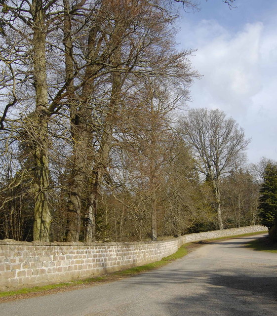
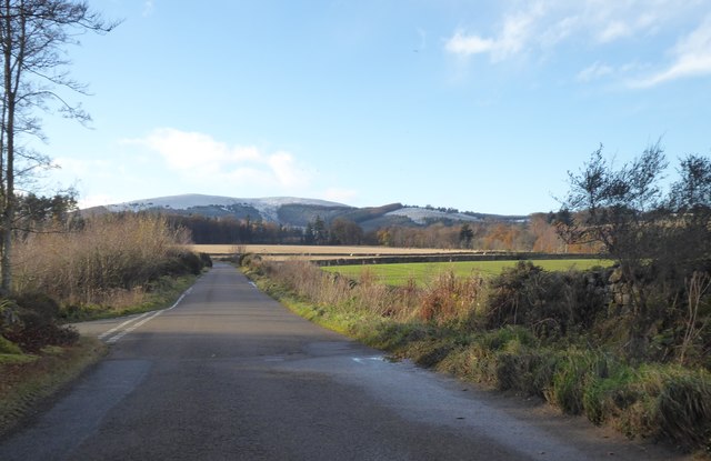
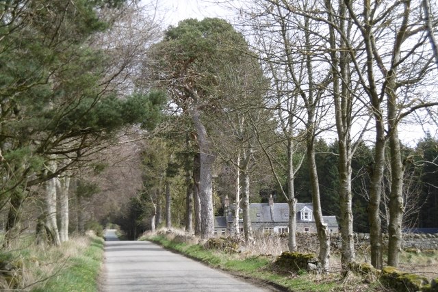
Visitors to Birkie Wood can enjoy a network of well-maintained trails that wind their way through the forest. These paths offer a chance to immerse oneself in the peaceful ambiance of the woodland and discover its hidden treasures. Along the way, visitors may encounter picturesque viewpoints, tranquil streams, and even ancient ruins, adding a touch of history to the natural beauty.
Birkie Wood serves as a popular destination for outdoor activities such as walking, hiking, and wildlife spotting. The tranquil surroundings make it an ideal spot for birdwatching and nature photography. It is also a favored location for educational visits, allowing students to learn about local ecology, biodiversity, and conservation efforts.
With its stunning scenery and abundant wildlife, Birkie Wood is a delightful destination for individuals seeking solace in nature or looking to explore the wonders of Aberdeenshire's woodlands.
If you have any feedback on the listing, please let us know in the comments section below.
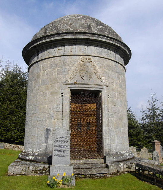
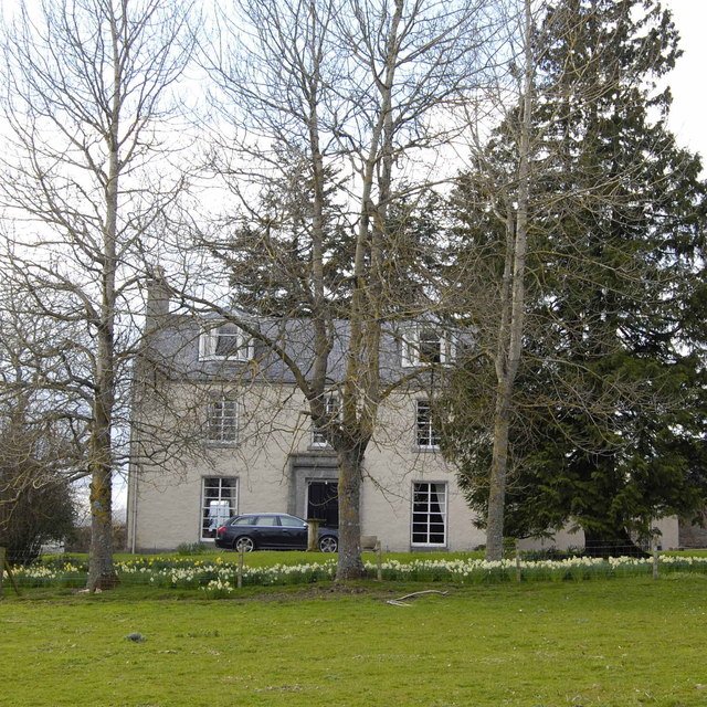
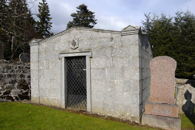
Birkie Wood Images
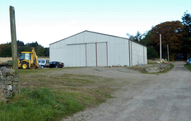
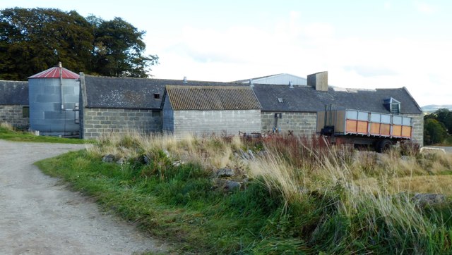
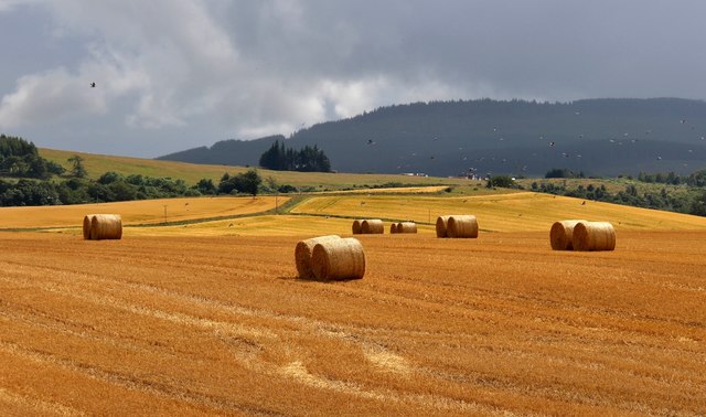
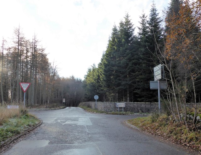
Images are sourced within 2km of 57.195322/-2.5266028 or Grid Reference NJ6811. Thanks to Geograph Open Source API. All images are credited.


Birkie Wood is located at Grid Ref: NJ6811 (Lat: 57.195322, Lng: -2.5266028)
Unitary Authority: Aberdeenshire
Police Authority: North East
What 3 Words
///deprives.couple.squeezed. Near Sauchen, Aberdeenshire
Nearby Locations
Related Wikis
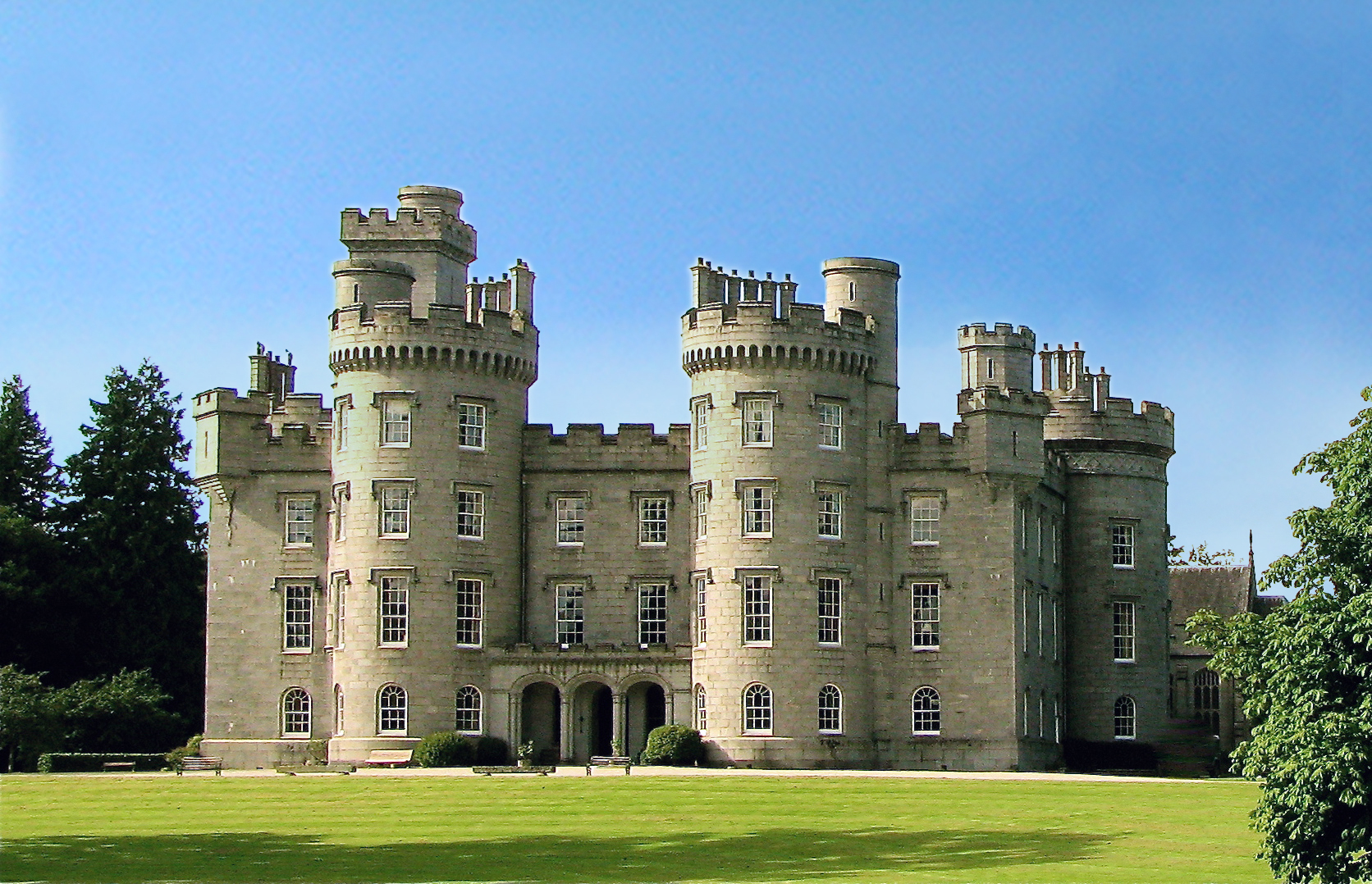
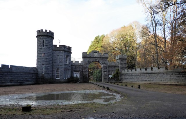
Cluny Castle
Cluny Castle was originally built c.1604 as a Z-plan castle replacing either a house or small peel tower. Sited in the parish of Cluny, it is south of...

A944 road
The A944 road connects Aberdeen with Strathdon in north-east Scotland. == Route == It originates at the Lang Stracht in the city, which is a re-routing...

Tillycairn Castle
Tillycairn Castle is an L-plan castle, dating from the 16th century, standing on high ground around 2.0 miles (3.2 km) south-east of Cluny in Aberdeenshire...

Sauchen
Sauchen is a village in Aberdeenshire, Scotland that lies 3 miles (5 km) west of Dunecht and 10 miles (16 km) west of Aberdeen. The village has around...
Nearby Amenities
Located within 500m of 57.195322,-2.5266028Have you been to Birkie Wood?
Leave your review of Birkie Wood below (or comments, questions and feedback).