Camp Wood

Wood, Forest in Roxburghshire

Scotland

Camp Wood

Minor road and Millheugh Bridge crossing Oxnam Water Looking north-eastward.
Minor road and Millheugh Bridge crossing Oxnam Water Credit: Peter Wood

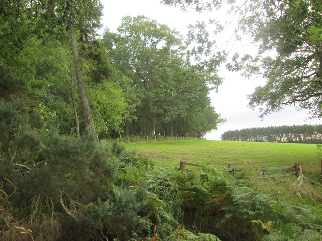
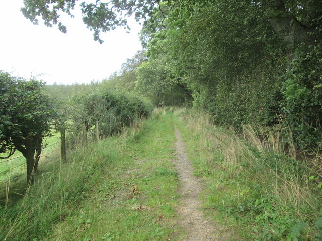
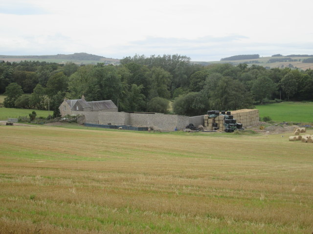
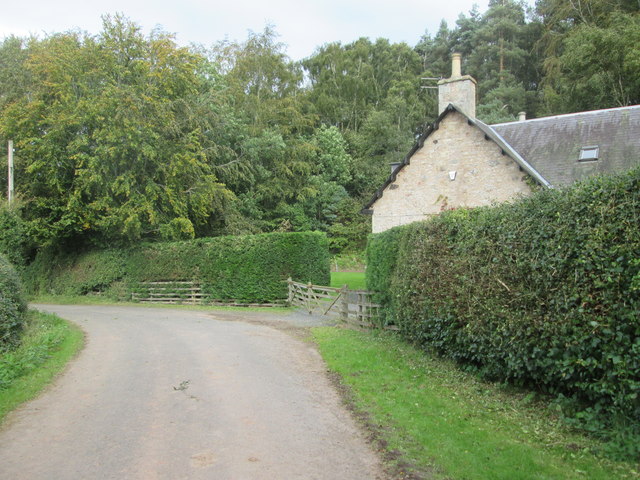
Camp Wood is a picturesque forest located in the county of Roxburghshire, Scotland. Situated in the southern part of the country, it covers an area of approximately 500 acres. The wood is named after a nearby small settlement known as Camp, which is just a short distance away.

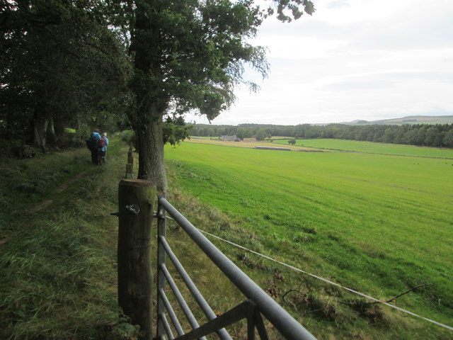
The woodland is renowned for its natural beauty and diverse array of flora and fauna. It is predominantly composed of native tree species such as oak, birch, and beech, creating a rich and vibrant ecosystem. The forest floor is adorned with a variety of wildflowers, adding to its enchanting appeal.

Camp Wood is a popular destination for nature enthusiasts and outdoor lovers. It offers a range of recreational activities, including hiking, birdwatching, and wildlife spotting. The forest is home to a wide range of animal species, including red squirrels, roe deer, and a variety of bird species, making it an ideal location for wildlife enthusiasts.

The wood is also steeped in history. It is believed to have been used as a training ground for soldiers during various periods throughout history. The remnants of training trenches and other historic features can still be seen in the forest, adding an intriguing element to visitors' experience.

With its stunning natural scenery, abundant wildlife, and historical significance, Camp Wood is a true gem of Roxburghshire. It offers a peaceful retreat for those seeking a connection with nature and a glimpse into the region's past.

If you have any feedback on the listing, please let us know in the comments section below.
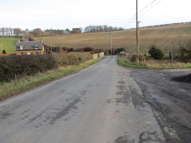
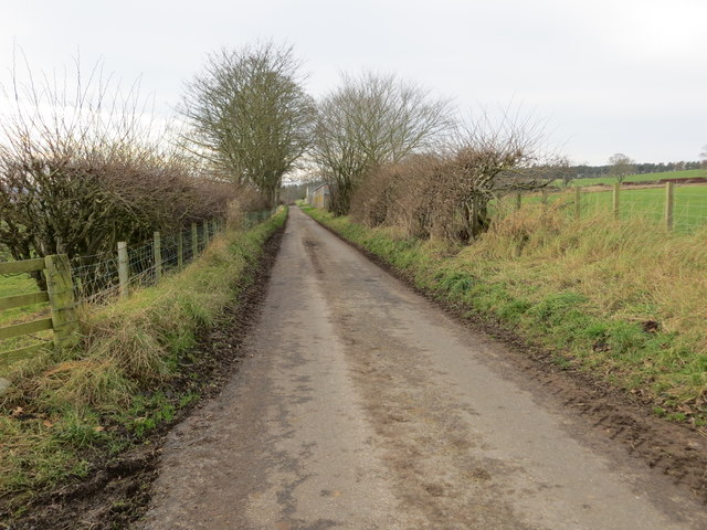
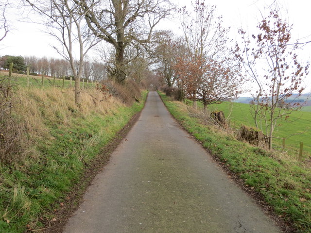
Camp Wood Images

Images are sourced within 2km of 55.465955/-2.5068471 or Grid Reference NT6819. Thanks to Geograph Open Source API. All images are credited.

Minor road and Millheugh Bridge crossing Oxnam Water Looking north-eastward.
Minor road and Millheugh Bridge crossing Oxnam Water
Looking north-eastward.
Junction of roads near to Pleasants Looking north-eastward.
Junction of roads near to Pleasants
Looking north-eastward.
Hedge and tree-lined minor road heading towards Scraesburgh Looking south-westward.
Hedge and tree-lined minor road heading towards Scraesburgh
Looking south-westward.
Fence and hedge-lined minor road approaching Scraesburgh Looking south-westward.
Fence and hedge-lined minor road approaching Scraesburgh
Looking south-westward.
Minor road approaching Violet Strip Looking north-eastward.
Minor road approaching Violet Strip
Looking north-eastward.
Old Milestone by Oxnam Mains, east of Jedburgh Milestone by the UC, in parish of Oxnam (Roxburgh District), North end of Oxnam, in middle of hedge.

Inscription once read:-
: Carter Bar / 8 : : Kelso / 10 : 
Pivot benchmark on top.

Milestone Society National ID: BD_KSCB10
Old Milestone by Oxnam Mains, east of Jedburgh
Milestone by the UC, in parish of Oxnam (Roxburgh District), North end of Oxnam, in middle of hedge. Inscription once read:- : Carter Bar / 8 : : Kelso / 10 : Pivot benchmark on top. Milestone Society National ID: BD_KSCB10
Footpath  coming  out  of  Natural  Wood  onto  farmland The footpath then becomes a track to fields. Looking toward Hunthill Farm
Footpath coming out of Natural Wood onto farmland
The footpath then becomes a track to fields. Looking toward Hunthill Farm
Field  and  edge  of  Natural  Wood
Field and edge of Natural Wood
Footpath  back  into  Natural  Wood
Footpath back into Natural Wood
Over  field  to  Hunthill  Farm From track from Natural Wood
Over field to Hunthill Farm
From track from Natural Wood
Lane  and  Coach  House The footpath from Hunthill through the woods comes out on to the lane here
Lane and Coach House
The footpath from Hunthill through the woods comes out on to the lane here
Road south of Cappuck
Stripwood, Howden A long strip between Howden and Hunthill. A track runs down this one.
Stripwood, Howden
A long strip between Howden and Hunthill. A track runs down this one.
Hilltop arable Ormistonleys Strip runs to the right of a field growing winter cereals. The land here is quite high, over 200m and there is evidence of small scale coal mining here. Often altitude and coal measures is a combination which leads to very poor farmland, but not here.
Hilltop arable
Ormistonleys Strip runs to the right of a field growing winter cereals. The land here is quite high, over 200m and there is evidence of small scale coal mining here. Often altitude and coal measures is a combination which leads to very poor farmland, but not here.
Dippingpool Strip A minor road runs through one of the many stripwoods in the hills around Jedburgh.
Dippingpool Strip
A minor road runs through one of the many stripwoods in the hills around Jedburgh.
Summit, Hunt Hill There is no easily defined summit to this hill and there is another candidate under a load of straw bales near by. This is the interior of a stripwood.
Summit, Hunt Hill
There is no easily defined summit to this hill and there is another candidate under a load of straw bales near by. This is the interior of a stripwood.
Sheep near Scraesburgh The high ground around Jedburgh is often used for sheep raising.
Sheep near Scraesburgh
The high ground around Jedburgh is often used for sheep raising.
Ploughed land near Hardenpeel
Show me another place!

Camp Wood is located at Grid Ref: NT6819 (Lat: 55.465955, Lng: -2.5068471)

Unitary Authority: The Scottish Borders

Police Authority: The Lothians and Scottish Borders

What 3 Words

///sparrows.treating.neckline. Near Jedburgh, Scottish Borders

Nearby Locations

Camp Wood

Related Wikis

Oxnam

Oxnam (Scots: Owsenam) is a village near Jedburgh, in Roxburghshire in the Scottish Borders area of Scotland. It is a primarily residential village. The...

Jedburgh

Jedburgh (; Scottish Gaelic: Deadard; Scots: Jeddart or Jethart) is a town and former royal burgh in the Scottish Borders and the traditional county town...

Hartrigge House

Hartrigge House or Stewartfield House was a country house in Jedburgh in the Scottish Borders. Its first owner was in 1614 and it was rebuilt in 1854....

Capon Oak Tree

The Capon Oak Tree is one of the last surviving trees of the ancient Scottish Jedforest. It is close to the A68 and Jed Water, a small river which has...

Nearby Amenities

Located within 500m of 55.465955,-2.5068471
Natural: peak
Lat/Long: 55.4648719/-2.5096922
The data included in this document is from www.openstreetmap.org. The data is made available under ODbL.

Have you been to Camp Wood?

Leave your review of Camp Wood below (or comments, questions and feedback).