Croft-thorn Wood
Wood, Forest in Kincardineshire
Scotland
Croft-thorn Wood
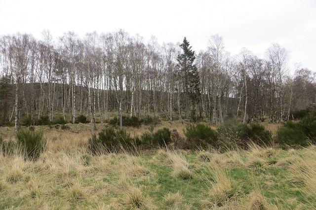
Croft-thorn Wood is a picturesque woodland located in Kincardineshire, a historic county in northeast Scotland. Spanning over a considerable area, the wood is nestled amidst the stunning natural landscape of the region, characterized by rolling hills, lush green fields, and serene rivers.
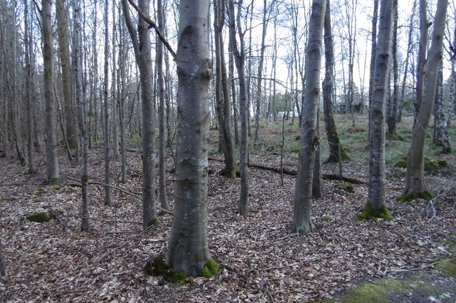
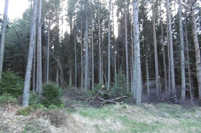
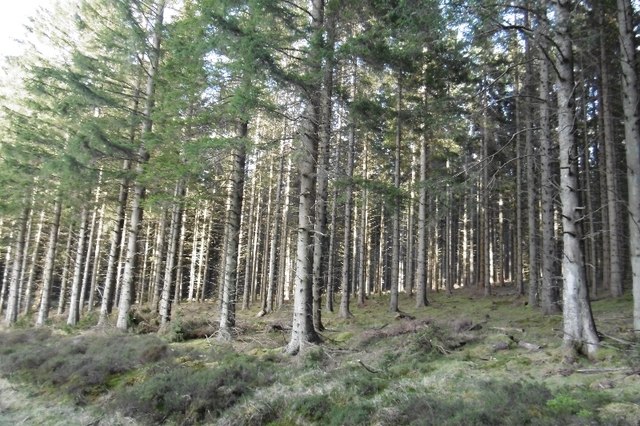
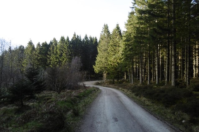
As one ventures into Croft-thorn Wood, they are greeted by a diverse range of native trees, including majestic oak, birch, and beech trees, creating a dense canopy overhead. The wood's floor is adorned with a vibrant carpet of mosses, ferns, and wildflowers, adding to its enchanting beauty.
The wood is home to an abundance of wildlife, making it a popular spot for nature enthusiasts and birdwatchers. Visitors may catch a glimpse of roe deer, foxes, badgers, and various species of birds, such as woodpeckers, owls, and songbirds.
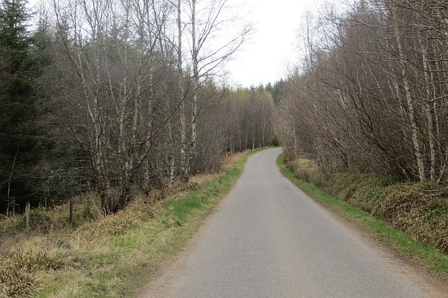
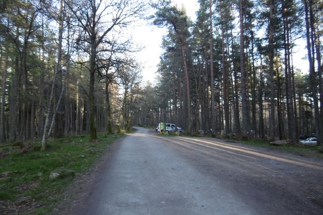
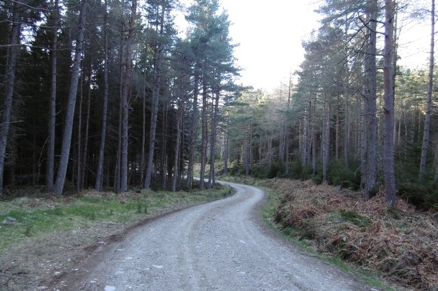
A network of well-maintained trails meanders through Croft-thorn Wood, providing visitors with the opportunity to explore its natural wonders. These trails offer a perfect setting for leisurely walks, jogging, or cycling, allowing individuals to immerse themselves in the tranquility of the woodland.
Croft-thorn Wood is not only a haven for nature lovers but also serves as an important ecological site. The wood provides a valuable habitat for numerous plant and animal species, contributing to the overall biodiversity of the region.
Whether one seeks solace in nature, wishes to indulge in outdoor activities, or simply desires to appreciate the beauty of a pristine woodland, Croft-thorn Wood offers a serene and captivating experience for all who visit.
If you have any feedback on the listing, please let us know in the comments section below.
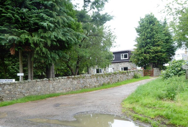
Croft-thorn Wood Images
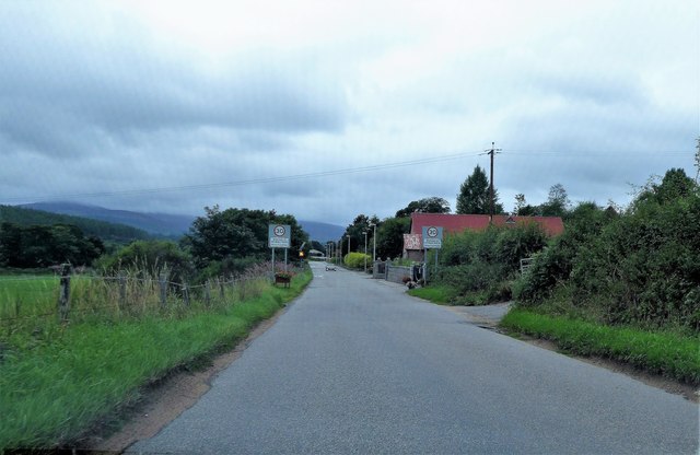
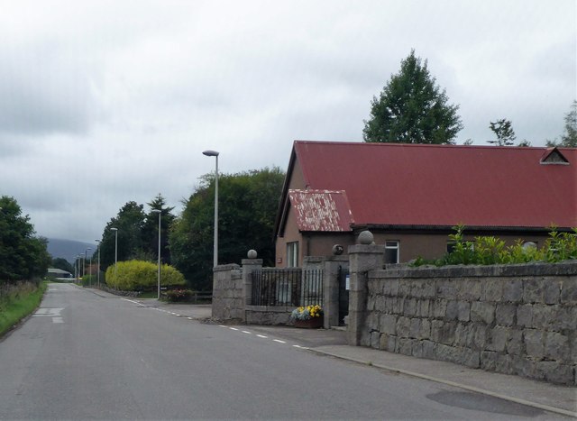
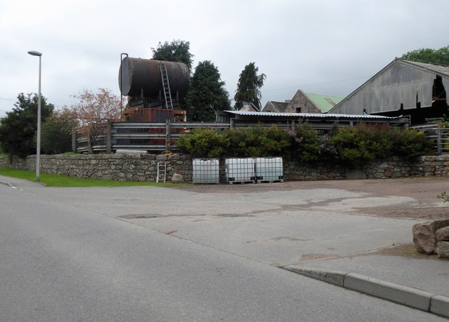
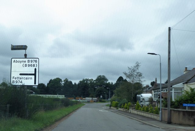
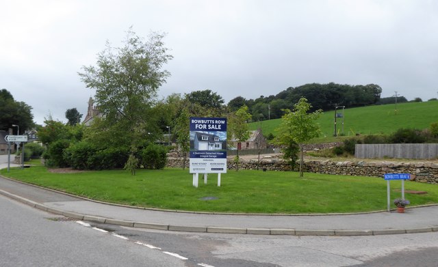
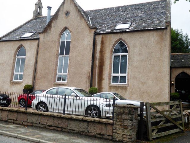
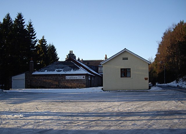
Images are sourced within 2km of 57.031476/-2.5289614 or Grid Reference NO6793. Thanks to Geograph Open Source API. All images are credited.
Croft-thorn Wood is located at Grid Ref: NO6793 (Lat: 57.031476, Lng: -2.5289614)
Unitary Authority: Aberdeenshire
Police Authority: North East
What 3 Words
///leap.definite.hound. Near Banchory, Aberdeenshire
Nearby Locations
Related Wikis

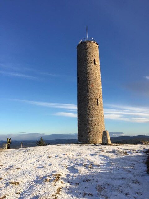
Scolty Hill
Scolty Hill is a small hill south of the Deeside town, Banchory. Its best known feature is the 20m tall tower monument, built in 1840 as a memorial to...

Strachan, Aberdeenshire
Strachan is a village in Aberdeenshire, Scotland that lies along the Water of Feugh, a tributary of the River Dee, Aberdeenshire, a few miles southwest...
Kinneskie Road drill hall, Banchory
The Kinneskie Road drill hall is a former military installation near Banchory, Scotland. == History == The building was designed as the headquarters of...

Braehead, Banchory
Braehead, Banchory is a proposed major housing development to the south of Banchory, Aberdeenshire, Scotland. The site is home to Braehead farm, formerly...
Nearby Amenities
Located within 500m of 57.031476,-2.5289614Have you been to Croft-thorn Wood?
Leave your review of Croft-thorn Wood below (or comments, questions and feedback).