Corbie Den Wood

Wood, Forest in Kincardineshire

Scotland

Corbie Den Wood

Minor road near Brathens
Minor road near Brathens Credit: Steven Brown

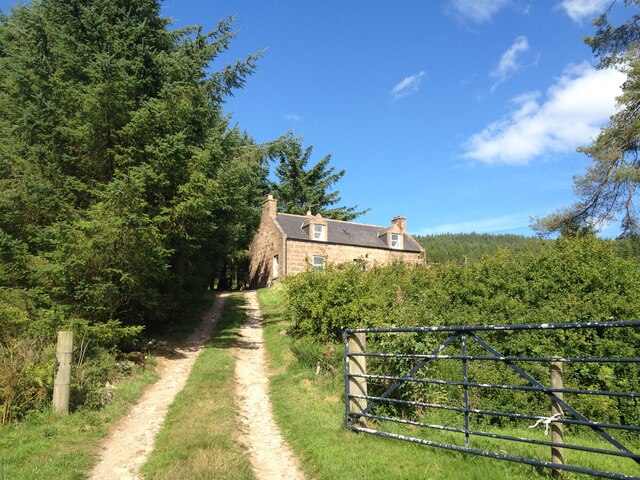
Corbie Den Wood is a picturesque woodland located in Kincardineshire, Scotland. Covering an area of approximately 100 hectares, it is a popular destination for nature enthusiasts and hikers. The wood is situated on the outskirts of the small town of Stonehaven, offering easy access to visitors.

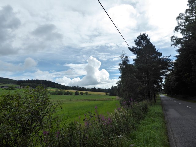
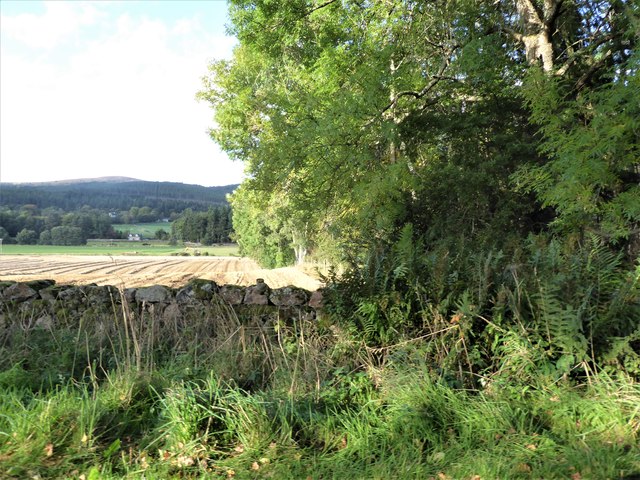
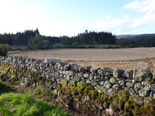
The woodland is known for its diverse range of flora and fauna, making it a haven for wildlife enthusiasts. The dense forest is dominated by a mixture of broadleaf and coniferous trees, including oak, birch, pine, and spruce. The canopy of the trees creates a cool and shady environment, perfect for a peaceful stroll on a hot summer's day.

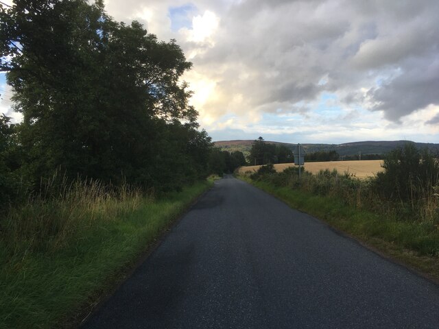
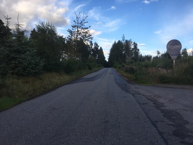
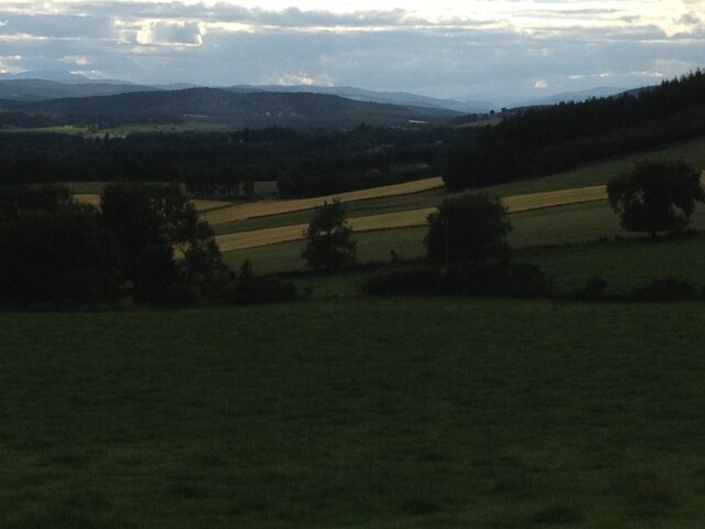
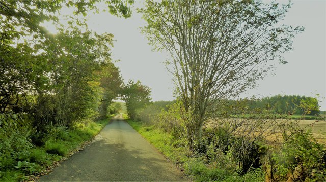
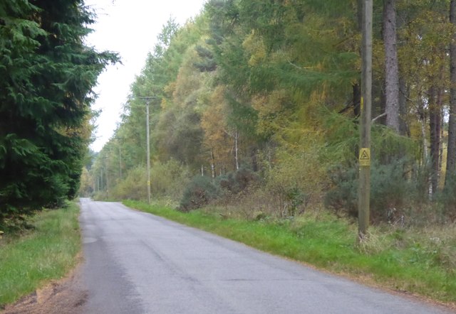
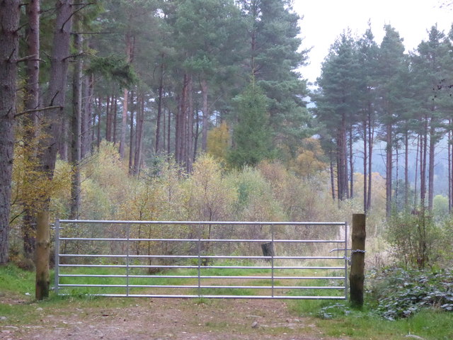
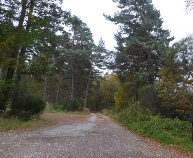
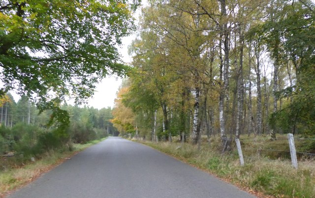
Corbie Den Wood is crisscrossed by a network of well-maintained paths and trails, allowing visitors to explore the area at their own pace. The trails vary in difficulty, catering to both casual walkers and more experienced hikers. Along the way, visitors can enjoy stunning views of the surrounding countryside, with glimpses of the nearby hills and valleys.

The wood is home to a wide range of wildlife, including red squirrels, roe deer, and various species of birds such as woodpeckers and thrushes. Birdwatchers will delight in the opportunity to spot rare and native species in their natural habitat.

Overall, Corbie Den Wood offers a tranquil and scenic retreat from the hustle and bustle of everyday life. Whether you're seeking a leisurely walk or a more challenging hike, this woodland provides a beautiful backdrop for outdoor activities and a chance to immerse yourself in nature.

If you have any feedback on the listing, please let us know in the comments section below.

Corbie Den Wood Images

Images are sourced within 2km of 57.081477/-2.5310919 or Grid Reference NO6799. Thanks to Geograph Open Source API. All images are credited.

Minor road near Brathens
Minor road past Jampots Wood
Burnhead Farm Steading
Burnhead Fields view to the west towards the pass of ballater
Burnhead Fields
view to the west towards the pass of ballater
Brownhill Croft
Brownhill Croft
Kennerty Woods
Kennerty Woods
Burnhead Farmhouse
Burnhead Farmhouse
Burnhead Farmhouse
Burnhead Farmhouse
A view east from the A980 at mid-day Knockings Wood on the right, Cluny Crichton Castle on far left, and a towering cloud ahead. A feature of early August 2017 hereabouts has been of widespread, but local, heavy rainstorms originating from such clouds.
A view east from the A980 at mid-day
Knockings Wood on the right, Cluny Crichton Castle on far left, and a towering cloud ahead. A feature of early August 2017 hereabouts has been of widespread, but local, heavy rainstorms originating from such clouds.
View from SW corner of Hawthorn Wood Towards the 'Burnside Belts' of trees near Raemoir, by the B977 (centre left).
View from SW corner of Hawthorn Wood
Towards the 'Burnside Belts' of trees near Raemoir, by the B977 (centre left).
A 'rat run' around Banchory Towards its Raemoir end; from Crathes.
A 'rat run' around Banchory
Towards its Raemoir end; from Crathes.
Harvest time near Mill of Raemoir View from near Briggs cottage. Balwearie Wood in the background.
Harvest time near Mill of Raemoir
View from near Briggs cottage. Balwearie Wood in the background.
A narrow minor road through Brathens Wood From a passing-place, between Lochton of Leys and Newton of Leys.
A narrow minor road through Brathens Wood
From a passing-place, between Lochton of Leys and Newton of Leys.
Newton of Leys From the minor road through Brathens Wood.
Newton of Leys
From the minor road through Brathens Wood.
A gated track into Brathens Wood Off minor road via a 7-bar galvanised steel gate.
A gated track into Brathens Wood
Off minor road via a 7-bar galvanised steel gate.
Access to The Birks From the minor road at Newton Leys.
Access to The Birks
From the minor road at Newton Leys.
Newton of Leys and outbuilding garage Access from the minor road through Brathens Wood.
Newton of Leys and outbuilding garage
Access from the minor road through Brathens Wood.
Minor road west from Newton Leys To reach, and follow parallel to, the trackbed of the dismantled Deeside Railway (closure recommended by the Beeching Report some 50 years ago).
Minor road west from Newton Leys
To reach, and follow parallel to, the trackbed of the dismantled Deeside Railway (closure recommended by the Beeching Report some 50 years ago).
Show me another place!

Corbie Den Wood is located at Grid Ref: NO6799 (Lat: 57.081477, Lng: -2.5310919)

Unitary Authority: Aberdeenshire

Police Authority: North East

What 3 Words

///divisible.relocated.mixer. Near Banchory, Aberdeenshire

Related Wikis

Cluny Crichton Castle

Cluny Crichton Castle (also known as Clounie Crighton Castle) is a ruined 3-story tower house on the southern slopes of the Hill of Fare in Aberdeenshire...

Brathens

Brathens is a village in Aberdeenshire, Scotland. == References ==

Raemoir House

Raemoir House is a Category B listed Georgian mansion house located in Banchory, Aberdeenshire, Scotland. Its origins date back to the Ha'Hoose (Hall House...

Beltie Burn

The Beltie Burn is a burn in Aberdeenshire, Scotland, which below Torphins and Glassel is known as the Burn of Canny. It begins in the hill of Benaquhallie...

Nearby Amenities

Located within 500m of 57.081477,-2.5310919
Hill of Brathens
Natural: peak
Lat/Long: 57.0797303/-2.5337197
Power: pole
Lat/Long: 57.0845385/-2.525636
Power: pole
Lat/Long: 57.0836704/-2.5255616
Power: pole
Lat/Long: 57.0833436/-2.5256939
The data included in this document is from www.openstreetmap.org. The data is made available under ODbL.

Have you been to Corbie Den Wood?

Leave your review of Corbie Den Wood below (or comments, questions and feedback).