Cauldside Clump

Wood, Forest in Roxburghshire

Scotland

Cauldside Clump

River cliff by Jed Water From Jed Water Caravan Park.
River cliff by Jed Water Credit: Hugh Venables

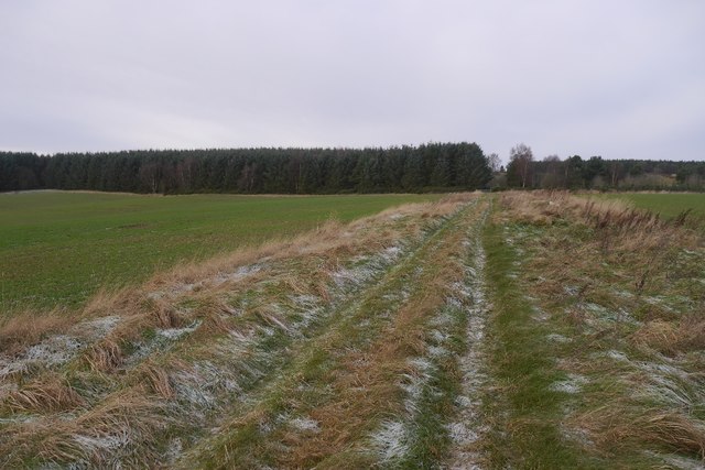
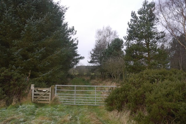
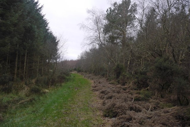
Cauldside Clump is a small woodland area located in Roxburghshire, Scotland. Situated near the village of Cauldside, the Clump covers an area of approximately 10 acres. It is a popular destination for nature enthusiasts and locals seeking a peaceful retreat amidst the beauty of nature.

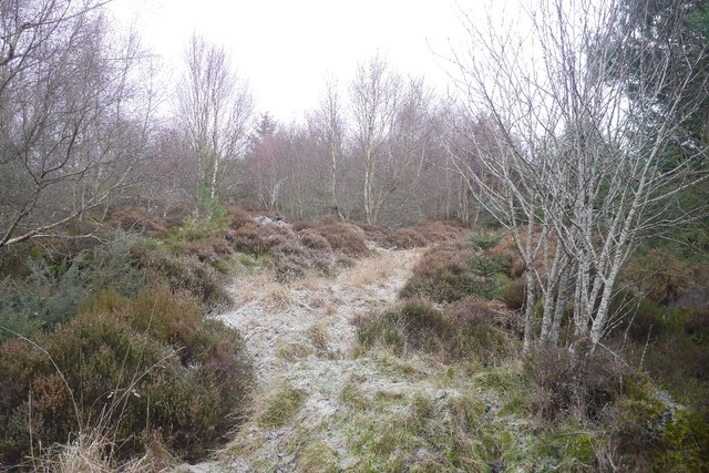
The woodland is predominantly composed of native tree species such as oak, birch, and rowan. The dense vegetation creates a lush canopy that provides shelter and habitat for a range of bird species, including woodpeckers, thrushes, and owls. The forest floor is covered in a carpet of mosses, ferns, and wildflowers, adding to the area's natural charm and biodiversity.

Cauldside Clump also features a small stream that meanders through the woodland, adding to its tranquility and providing a source of water for the local wildlife. The stream is home to a variety of aquatic creatures, including freshwater fish and insects.

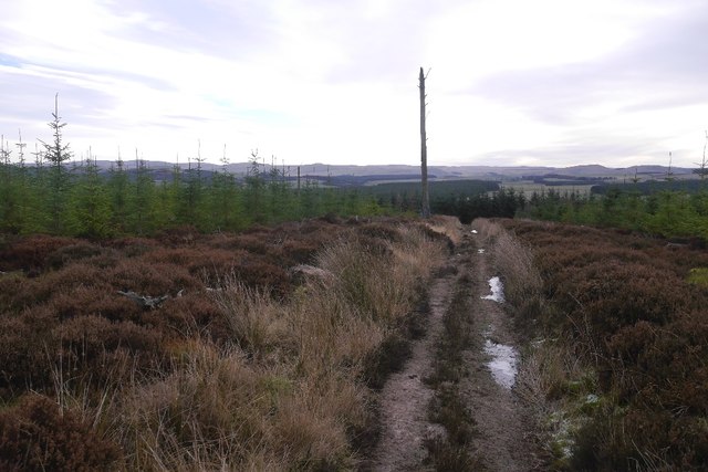
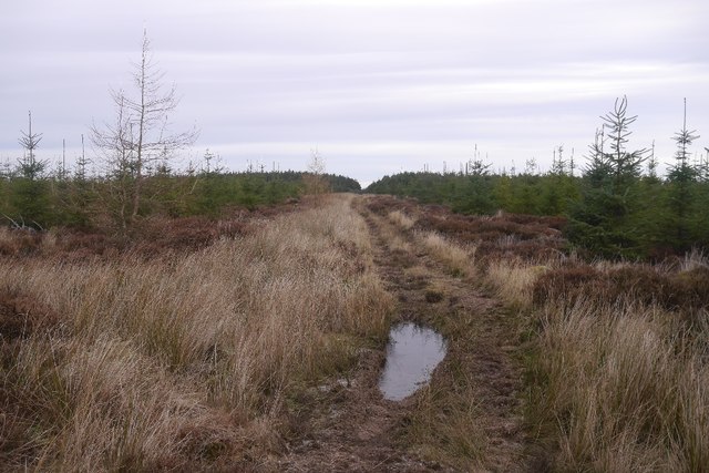
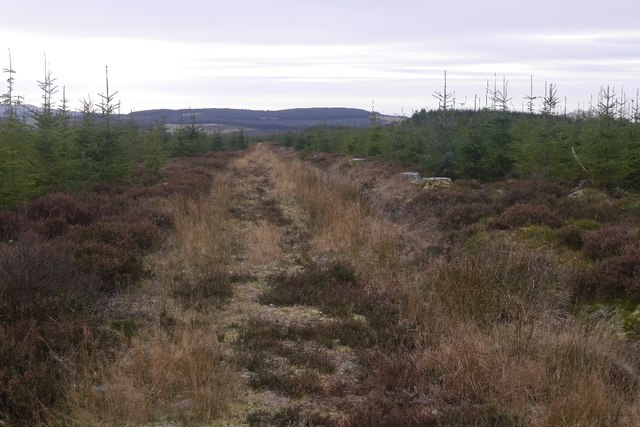
Visitors to the Clump can enjoy peaceful walks along the well-maintained trails that wind through the woodland. The paths are suitable for all ages and abilities, making it an ideal destination for families and nature lovers alike. Along the way, visitors can spot various wildlife, including red squirrels, rabbits, and deer.

Cauldside Clump is a cherished natural gem in Roxburghshire, offering a serene and picturesque setting for those seeking solace in nature's embrace.

If you have any feedback on the listing, please let us know in the comments section below.

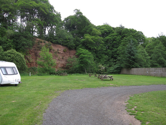
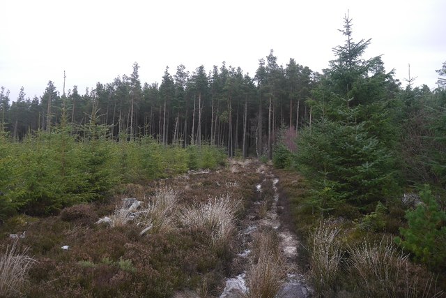
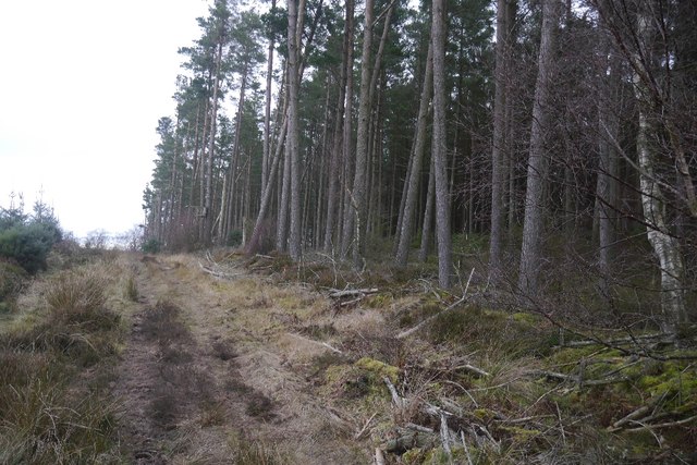
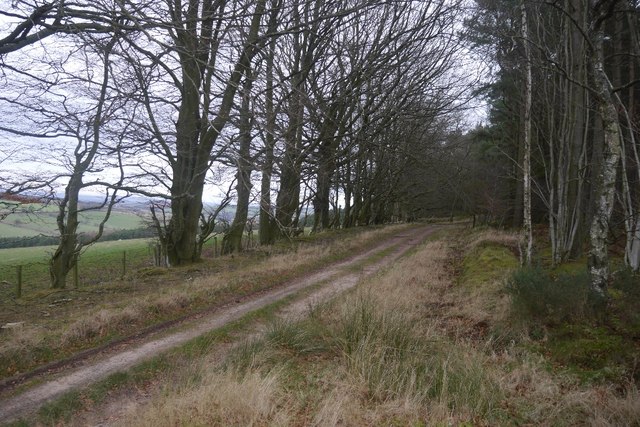
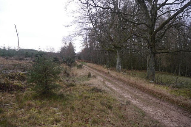
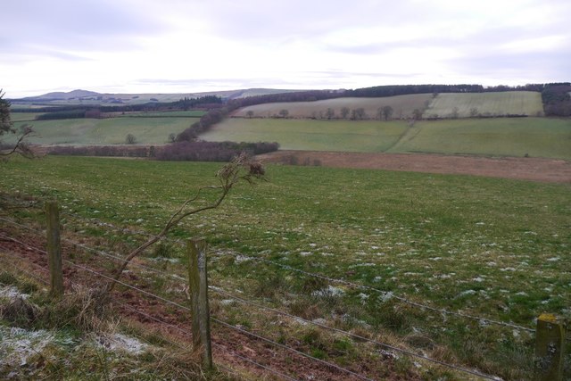
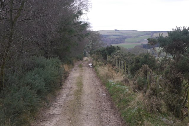
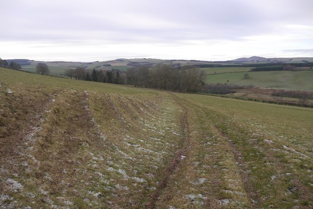
Cauldside Clump Images

Images are sourced within 2km of 55.448922/-2.5101857 or Grid Reference NT6717. Thanks to Geograph Open Source API. All images are credited.

River cliff by Jed Water From Jed Water Caravan Park.
River cliff by Jed Water
From Jed Water Caravan Park.
Cringie Burn A temporary footbridge near Oxnam Sawmill.
Cringie Burn
A temporary footbridge near Oxnam Sawmill.
Road, Oxnam Pond The road, grassy in places comes out on a road near Dolphinston.
Road, Oxnam Pond
The road, grassy in places comes out on a road near Dolphinston.
Ruined cattle shelter A simple shelter once stood here, beside the grassy track between Dolphinton and Oxnam.
Ruined cattle shelter
A simple shelter once stood here, beside the grassy track between Dolphinton and Oxnam.
Oxnam to Dolphinston road A grassy, and therefore hard work on the slight gradient, bit heading for the woods at Birkenside.
Oxnam to Dolphinston road
A grassy, and therefore hard work on the slight gradient, bit heading for the woods at Birkenside.
Gate, Birkenside On the Dolphinston to Oxnam road.
Gate, Birkenside
On the Dolphinston to Oxnam road.
Oxnam to Dolphinston road A grassy bit near Birkenside Cottage.  The ground is wet here, but frozen today.
Oxnam to Dolphinston road
A grassy bit near Birkenside Cottage. The ground is wet here, but frozen today.
Young trees, Birkenside Much of the plantation has been replanted in recent years. The path network shown by the Ordnance Survey has gone, many of the tracks shown no longer exist.
Young trees, Birkenside
Much of the plantation has been replanted in recent years. The path network shown by the Ordnance Survey has gone, many of the tracks shown no longer exist.
Path, Birkenside A good, well used path through young trees.  The mapped path network no longer exists.
Path, Birkenside
A good, well used path through young trees. The mapped path network no longer exists.
Path, Birkenside Running along the ridge line.  The path network shown by the Ordnance Survey is from before the felling of most of the woodland. The new plantings have a different set of tracks.
Path, Birkenside
Running along the ridge line. The path network shown by the Ordnance Survey is from before the felling of most of the woodland. The new plantings have a different set of tracks.
Path, Birkenside Amongst young trees.  Many of the mapped paths have gone since replanting.
Path, Birkenside
Amongst young trees. Many of the mapped paths have gone since replanting.
Birkenside Path towards some surviving older trees.  The path network here is very different to that shown by the Ordnance Survey.
Birkenside
Path towards some surviving older trees. The path network here is very different to that shown by the Ordnance Survey.
Path, Birkenside One of the paths which coincide with the mapped network which has largely disappeared.
Path, Birkenside
One of the paths which coincide with the mapped network which has largely disappeared.
Mossburnford to Oxnam road A well surfaced forest road on this section.
Mossburnford to Oxnam road
A well surfaced forest road on this section.
Oxnam to Mossburnford road Running along the edge of Birkenshaw woodlands.  The paths shown by the OS into the woods west of here no longer exist, but this road is a good one all the way through to Mossburnford.
Oxnam to Mossburnford road
Running along the edge of Birkenshaw woodlands. The paths shown by the OS into the woods west of here no longer exist, but this road is a good one all the way through to Mossburnford.
View towards Fendyhall Moss
Oxnam to Mossburnford road A well surfaced road which has one grassy section just west of here.  Paths shown heading south from this road in NT6717 no longer exist.
Oxnam to Mossburnford road
A well surfaced road which has one grassy section just west of here. Paths shown heading south from this road in NT6717 no longer exist.
Oxnam to Mossburnford road A descent through a field links up two stone/mud surfaced roads.  All very pleasant in frosty conditions.
Oxnam to Mossburnford road
A descent through a field links up two stone/mud surfaced roads. All very pleasant in frosty conditions.
Show me another place!

Cauldside Clump is located at Grid Ref: NT6717 (Lat: 55.448922, Lng: -2.5101857)

Unitary Authority: The Scottish Borders

Police Authority: The Lothians and Scottish Borders

What 3 Words

///directs.basics.emotional. Near Jedburgh, Scottish Borders

Related Wikis

Oxnam

Oxnam (Scots: Owsenam) is a village near Jedburgh, in Roxburghshire in the Scottish Borders area of Scotland. It is a primarily residential village. The...

Ferniehirst Castle

Ferniehirst Castle (sometimes spelled Ferniehurst) is an L-shaped construction on the east bank of the Jed Water, about a mile and a half south of Jedburgh...

Bairnkine

Bairnkine is a hamlet on the Jed Water in the Scottish Borders area of Scotland, on the A68, south of Jedburgh. Other places nearby include Abbotrule,...

Capon Oak Tree

The Capon Oak Tree is one of the last surviving trees of the ancient Jedforest, close to Jed Water, a small river which has cut a course below soft sandstone...

Nearby Amenities

Located within 500m of 55.448922,-2.5101857
Natural: peak
Lat/Long: 55.4479417/-2.5030844
The data included in this document is from www.openstreetmap.org. The data is made available under ODbL.

Have you been to Cauldside Clump?

Leave your review of Cauldside Clump below (or comments, questions and feedback).