Chancellor Wood

Wood, Forest in Roxburghshire

Scotland

Chancellor Wood

Junction of roads near to Pleasants Looking north-eastward.
Junction of roads near to Pleasants Credit: Peter Wood

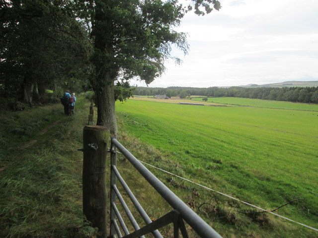
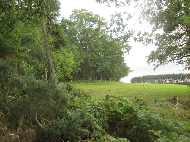
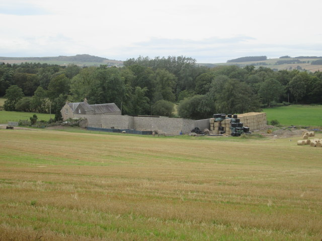
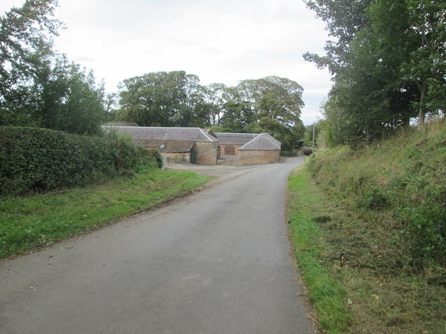
Chancellor Wood is a small forest located in Roxburghshire, a historic county in the Scottish Borders region of Scotland. Situated near the village of Wood, this woodland area spans several acres and is known for its rich biodiversity and natural beauty.

The forest consists mainly of mature trees, predominantly oak and beech, which provide a dense canopy and create a peaceful and serene atmosphere. The woodland floor is covered with a thick carpet of moss, ferns, and wildflowers, adding to the enchanting ambiance of the area.

Chancellor Wood is home to a variety of wildlife, including deer, foxes, badgers, and a wide array of bird species. Nature enthusiasts and birdwatchers often visit the forest to spot and study these animals in their natural habitat.

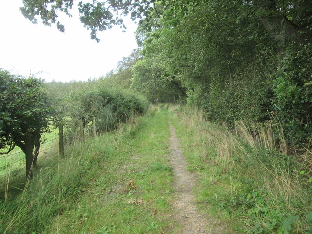
The woodland offers several walking trails and paths, allowing visitors to explore its hidden corners and enjoy the tranquility of the surroundings. These trails are well-maintained and suitable for all levels of walkers, making Chancellor Wood a popular destination for families, hikers, and nature lovers alike.

In addition to its natural beauty, Chancellor Wood also holds historical significance. The forest is believed to have ancient roots, with remnants of prehistoric settlements and archaeological sites found within its boundaries. This adds an extra layer of intrigue and fascination to the forest, attracting history enthusiasts and researchers.

Overall, Chancellor Wood in Roxburghshire is a captivating destination for those seeking a peaceful retreat in nature, with its stunning woodland landscape, diverse wildlife, and historical allure.

If you have any feedback on the listing, please let us know in the comments section below.

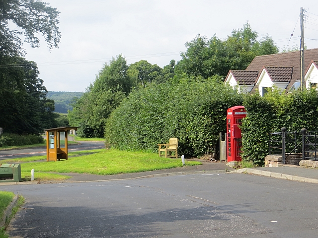
Chancellor Wood Images

Images are sourced within 2km of 55.481499/-2.5135655 or Grid Reference NT6720. Thanks to Geograph Open Source API. All images are credited.

Junction of roads near to Pleasants Looking north-eastward.
Junction of roads near to Pleasants
Looking north-eastward.
Footpath  coming  out  of  Natural  Wood  onto  farmland The footpath then becomes a track to fields. Looking toward Hunthill Farm
Footpath coming out of Natural Wood onto farmland
The footpath then becomes a track to fields. Looking toward Hunthill Farm
Field  and  edge  of  Natural  Wood
Field and edge of Natural Wood
Footpath  back  into  Natural  Wood
Footpath back into Natural Wood
Over  field  to  Hunthill  Farm From track from Natural Wood
Over field to Hunthill Farm
From track from Natural Wood
Howden  Farm  buildings  alongside  road
Howden Farm buildings alongside road
Stripwood, Howden A long strip between Howden and Hunthill. A track runs down this one.
Stripwood, Howden
A long strip between Howden and Hunthill. A track runs down this one.
Hilltop arable Ormistonleys Strip runs to the right of a field growing winter cereals. The land here is quite high, over 200m and there is evidence of small scale coal mining here. Often altitude and coal measures is a combination which leads to very poor farmland, but not here.
Hilltop arable
Ormistonleys Strip runs to the right of a field growing winter cereals. The land here is quite high, over 200m and there is evidence of small scale coal mining here. Often altitude and coal measures is a combination which leads to very poor farmland, but not here.
Ploughed land near Hardenpeel
Stripwood, Hunthill A beech wood beside a minor road. The fence surrounds a covered reservoir.
Stripwood, Hunthill
A beech wood beside a minor road. The fence surrounds a covered reservoir.
Camp Wood Earthworks in Camp Wood, marked on maps as a settlement.
Camp Wood
Earthworks in Camp Wood, marked on maps as a settlement.
On the road near Howden farm The country lane to Scraesburgh on the E side of Jedburgh on a November morning.
On the road near Howden farm
The country lane to Scraesburgh on the E side of Jedburgh on a November morning.
Hunthill Farm Often farms in Scotland are known just by their name without 'Farm' being added, but in this case the word is included, since Hunthill (the estate house) is nearby.
Hunthill Farm
Often farms in Scotland are known just by their name without 'Farm' being added, but in this case the word is included, since Hunthill (the estate house) is nearby.
Lion gatepost, Hunthill One of two stone lions rampant surmounting gateposts on the drive to Hunthill.  Each is holding a shield bearing arms - this is the one on the E side.
Lion gatepost, Hunthill
One of two stone lions rampant surmounting gateposts on the drive to Hunthill. Each is holding a shield bearing arms - this is the one on the E side.
Lion gatepost, Hunthill (2) One of two stone lions rampant surmounting gateposts on the drive to Hunthill.  Each is holding a shield bearing arms - this is the one on the W side.
Lion gatepost, Hunthill (2)
One of two stone lions rampant surmounting gateposts on the drive to Hunthill. Each is holding a shield bearing arms - this is the one on the W side.
Track in Natural Wood Natural Wood lies between Hunthill and Over Thickside Farm in an area of woodlands and strip woods amongst the arable fields and pastures. The track is on the route of the Jedburgh East Circular walk and gave quite soft going in places on the wet ground.
Track in Natural Wood
Natural Wood lies between Hunthill and Over Thickside Farm in an area of woodlands and strip woods amongst the arable fields and pastures. The track is on the route of the Jedburgh East Circular walk and gave quite soft going in places on the wet ground.
Barley, near Netherwells
Prior's Court, Jedburgh
Show me another place!

Chancellor Wood is located at Grid Ref: NT6720 (Lat: 55.481499, Lng: -2.5135655)

Unitary Authority: The Scottish Borders

Police Authority: The Lothians and Scottish Borders

What 3 Words

///vanished.winks.covenants. Near Jedburgh, Scottish Borders

Related Wikis

Hartrigge House

Hartrigge House or Stewartfield House was a country house in Jedburgh in the Scottish Borders. Its first owner was in 1614 and it was rebuilt in 1854....

Jedburgh railway station

Jedburgh railway station served the town of Jedburgh, Scottish Borders, Scotland from 1856 to 1964 on the Jedburgh Railway. == History == The station opened...

Jedburgh

Jedburgh (; Scottish Gaelic: Deadard; Scots: Jeddart or Jethart) is a town and former royal burgh in the Scottish Borders and the traditional county town...

Crailing

Crailing is a village on the A698, in Teviotdale, 4m east of Jedburgh in the Scottish Borders area of Scotland, in the historic county of Roxburghshire...

Nearby Amenities

Located within 500m of 55.481499,-2.5135655
Natural: peak
Lat/Long: 55.4798111/-2.5142554
Overwells Cottage
Place: isolated_dwelling
Lat/Long: 55.4783382/-2.512759
Power: pole
Lat/Long: 55.4774164/-2.5123331
Power: pole
Lat/Long: 55.4781774/-2.5123421
The data included in this document is from www.openstreetmap.org. The data is made available under ODbL.

Have you been to Chancellor Wood?

Leave your review of Chancellor Wood below (or comments, questions and feedback).