Burnside Belt

Wood, Forest in Kincardineshire

Scotland

Burnside Belt

Landends approaching Gallow Hillock Looking south-eastward.
Landends approaching Gallow Hillock Credit: Peter Wood

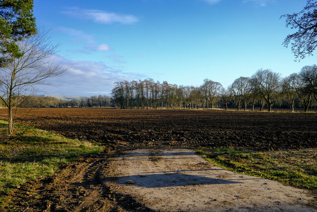
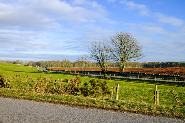
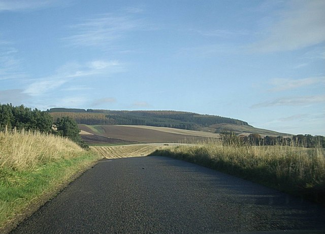
The Burnside Belt in Kincardineshire is a picturesque woodland area located in the northeastern part of Scotland. Covering an extensive area of approximately 10 square kilometers, this forested region is renowned for its natural beauty and diverse range of plant and animal species.

The Burnside Belt is characterized by its dense, lush woodlands, consisting primarily of deciduous trees such as oak, birch, and beech. These towering trees create a vibrant canopy that provides shade and shelter to a variety of wildlife, including deer, squirrels, and numerous bird species.

The forest is crisscrossed by a network of well-maintained trails, allowing visitors to explore its natural wonders on foot or by bike. These pathways wind through the dense foliage, leading to hidden glens, tranquil ponds, and secluded picnic spots. In the spring and summer months, the forest comes alive with the vibrant colors of wildflowers and the melodious sounds of birdsong.

The Burnside Belt is not only a haven for wildlife and nature enthusiasts but also offers recreational activities for all ages. Visitors can engage in wildlife spotting, photography, or simply enjoy a leisurely stroll amidst the serene surroundings. Additionally, the forest has designated camping areas for those seeking an overnight wilderness experience.

With its stunning beauty and tranquil ambiance, the Burnside Belt in Kincardineshire serves as a cherished natural gem, attracting locals and tourists alike. Its preservation and conservation efforts ensure that future generations can continue to enjoy the serenity and wonder of this enchanting woodland ecosystem.

If you have any feedback on the listing, please let us know in the comments section below.

Burnside Belt Images

Images are sourced within 2km of 56.865212/-2.5348121 or Grid Reference NO6774. Thanks to Geograph Open Source API. All images are credited.

Landends approaching Gallow Hillock Looking south-eastward.
Landends approaching Gallow Hillock
Looking south-eastward.
Track between Greenbottom Wood and a crop of peas Looking south-westward.
Track between Greenbottom Wood and a crop of peas
Looking south-westward.
Landends between woodland and a field of polytunnels Looking north-westward. To my untrained eye it looked like a crop of blueberries were being raised. Happy to be corrected.
Landends between woodland and a field of polytunnels
Looking north-westward. To my untrained eye it looked like a crop of blueberries were being raised. Happy to be corrected.
Minor road and housing under construction at Pitnamoon Looking north-westward. Obviously a sale has been agreed since this picture was taken : <a title="https://www.geograph.org.uk/photo/5462828" href="https://www.geograph.org.uk/photo/5462828">Link</a>
Minor road and housing under construction at Pitnamoon
Looking north-westward. Obviously a sale has been agreed since this picture was taken : Link
Ready to sow fields A field already for this years crops
Ready to sow fields
A field already for this years crops
Two roads and a field Just a simple roadside view of this square
Two roads and a field
Just a simple roadside view of this square
Covered reservoir On hunters hill
Covered reservoir
On hunters hill
B974 by Bank of Gallowhillston On road between Fettercairn and Banchory.
B974 by Bank of Gallowhillston
On road between Fettercairn and Banchory.
Minor road at Little Pitnamoon Cottages
Minor road at Pitnamoon
Track into Landends Plantation
Minor road past Landends Plantation
Minor road past Greenbottom Wood
Couper's Road through Greenbottom Wood
Woodhead junction A minor road meeting the B966 between Laurencekirk and Fettercairn.
Woodhead junction
A minor road meeting the B966 between Laurencekirk and Fettercairn.
Former schoolhouse, Woodhead By B966.
Former schoolhouse, Woodhead
By B966.
Mill of Kincardine From a minor link road between B966 and B974.
Mill of Kincardine
From a minor link road between B966 and B974.
Show me another place!

Burnside Belt is located at Grid Ref: NO6774 (Lat: 56.865212, Lng: -2.5348121)

Unitary Authority: Aberdeenshire

Police Authority: North East

What 3 Words

///prancing.vehicle.protected. Near Laurencekirk, Aberdeenshire

Related Wikis

Kincardine, Aberdeenshire

Kincardine was a burgh in Scotland, near the present-day village of Fettercairn. It served as the first county town of Kincardineshire. The settlement...

Fasque House

Fasque, also known as Fasque House or Fasque Castle, is a mansion in Aberdeenshire, Scotland, situated near the village of Fettercairn, in the former county...

Fettercairn

Fettercairn (, Scottish Gaelic: Fothair Chàrdain) is a small village in Aberdeenshire, Scotland, northwest of Laurencekirk in Aberdeenshire on the B966...

Fettercairn distillery

Fettercairn distillery is a whisky distillery in Fettercairn. Situated under the Grampian foothills in the Howe of Mearns, Fettercairn town’s name is...

Nearby Amenities

Located within 500m of 56.865212,-2.5348121
Crossing
Crossing: marked
Lat/Long: 56.8691213/-2.5324369
Power: pole
Lat/Long: 56.8686322/-2.5391348
Power: pole
Lat/Long: 56.86801/-2.5386337
Power: pole
Lat/Long: 56.8674006/-2.5381429
Power: pole
Lat/Long: 56.8671114/-2.5379099
Power: pole
Lat/Long: 56.8667353/-2.5376069
Power: pole
Lat/Long: 56.8661564/-2.5371406
Power: pole
Lat/Long: 56.8655807/-2.536677
Power: pole
Lat/Long: 56.8649456/-2.5361654
Power: pole
Lat/Long: 56.8637897/-2.5352344
Power: pole
Lat/Long: 56.8643857/-2.5357144
Power: pole
Lat/Long: 56.8631752/-2.5347394
Power: pole
Lat/Long: 56.8626129/-2.5342865
Power: pole
Lat/Long: 56.8609324/-2.5329209
Power: pole
Lat/Long: 56.8613572/-2.5332663
Power: pole
Lat/Long: 56.862048/-2.5338307
Power: pole
Lat/Long: 56.8667862/-2.5389686
Power: pole
Lat/Long: 56.8619179/-2.5346668
Power: pole
Lat/Long: 56.8610326/-2.5322722
Power: pole
Lat/Long: 56.8656526/-2.5426364
Power: pole
Lat/Long: 56.8652348/-2.5415875
Power: pole
Lat/Long: 56.864894/-2.5407072
Power: pole
Lat/Long: 56.864567/-2.5399153
Power: pole
Lat/Long: 56.8648595/-2.5389486
Power: pole
Lat/Long: 56.86513/-2.5380914
Power: pole
Lat/Long: 56.8653533/-2.5374006
Stop
Direction: backward
Lat/Long: 56.8620217/-2.5333787
The data included in this document is from www.openstreetmap.org. The data is made available under ODbL.

Have you been to Burnside Belt?

Leave your review of Burnside Belt below (or comments, questions and feedback).