Claret Brae
Wood, Forest in Banffshire
Scotland
Claret Brae
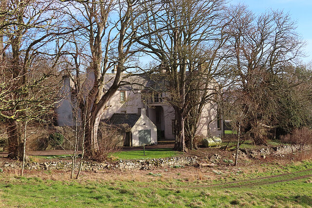
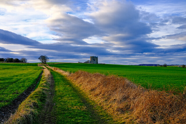
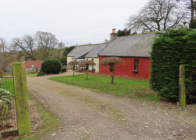
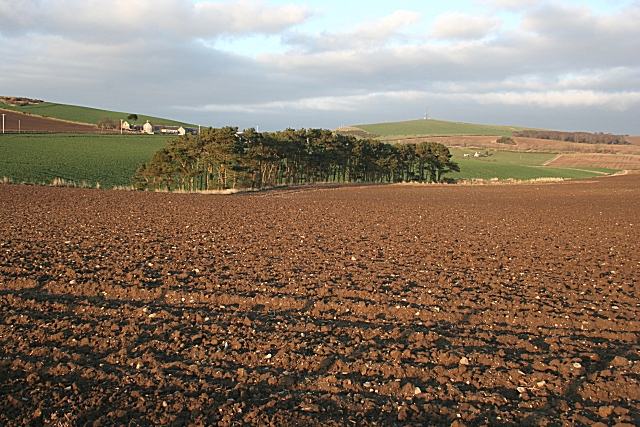
Claret Brae is a picturesque woodland area located in Banffshire, a historic county in Scotland. Situated amidst the stunning natural beauty of the region, this forested area is known for its lush greenery and tranquil atmosphere.
Covering a vast expanse of land, Claret Brae is home to a diverse range of tree species, including oak, pine, and birch. The forest is characterized by its dense foliage, which provides a haven for various flora and fauna. The ground is carpeted with vibrant wildflowers during the spring and summer months, creating a captivating display of colors.
Walking through Claret Brae, visitors can enjoy the peaceful ambiance and immerse themselves in nature. The forest is crisscrossed by well-maintained trails, offering opportunities for hiking and exploration. These paths wind through the trees, providing glimpses of occasional wildlife such as deer, squirrels, and a variety of bird species.
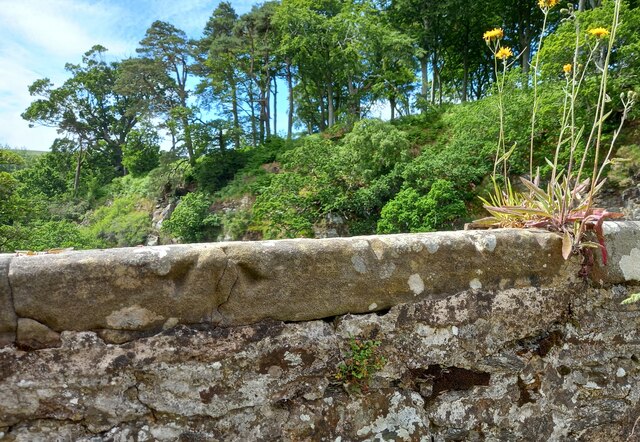
Claret Brae also boasts a rich historical significance. The forest has witnessed centuries of human activity, with remnants of ancient settlements and archaeological sites scattered throughout the area. These remnants serve as a testament to the region's past and provide valuable insights into its cultural heritage.
Whether it's a leisurely stroll, birdwatching, or a deeper appreciation of history, Claret Brae offers something for everyone. Its natural beauty and tranquility make it a popular destination for nature enthusiasts, hikers, and those seeking solace in the peaceful embrace of the forest.
If you have any feedback on the listing, please let us know in the comments section below.
Claret Brae Images
Images are sourced within 2km of 57.627746/-2.5473319 or Grid Reference NJ6759. Thanks to Geograph Open Source API. All images are credited.


Claret Brae is located at Grid Ref: NJ6759 (Lat: 57.627746, Lng: -2.5473319)
Unitary Authority: Aberdeenshire
Police Authority: North East
What 3 Words
///column.committed.stunner. Near Banff, Aberdeenshire
Nearby Locations
Related Wikis
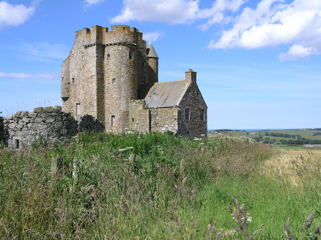
Inchdrewer Castle
Inchdrewer Castle is a 16th-century tower house in the parish of Banff, Aberdeenshire, in the north-east of Scotland. Situated on a slight rise 3.5 miles...

Eden Castle
Eden Castle is a castle near Banff in Aberdeenshire, Scotland. The castle was built in the latter half of the 16th century by the Meldrum family with renovation...

Duff House
Duff House is a Georgian estate house in Banff, Aberdeenshire, Scotland. Now in the care of Historic Environment Scotland, it is part of the National Galleries...

Banff Academy
Banff Academy is a S1–S6 secondary school in Banff, Aberdeenshire, Scotland. It serves the towns of Banff, Macduff, Whitehills, Portsoy, Aberchirder, Gardenstown...
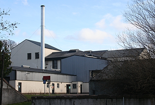
Macduff distillery
Macduff distillery is a single malt Scotch whisky distillery in Macduff in the Highland whisky producing area of Scotland. == History == The Macduff Distillery...
Duff House Royal Golf Club
Duff House Royal Golf Club is a Championship Course and one of the best golf courses in Aberdeenshire. Located in Banff, Scotland it was founded in 1910...

Banff Sheriff Court
Banff Sheriff Court is a judicial structure in Low Street, Banff, Aberdeenshire, Scotland. The structure, which was the headquarters of Banffshire County...

Princess Royal Park
Princess Royal Park is a football ground in the town of Banff in the north-east of Scotland, which is the home ground of Highland Football League side...
Nearby Amenities
Located within 500m of 57.627746,-2.5473319Have you been to Claret Brae?
Leave your review of Claret Brae below (or comments, questions and feedback).