Chapel Cleeve
Settlement in Somerset Somerset West and Taunton
England
Chapel Cleeve

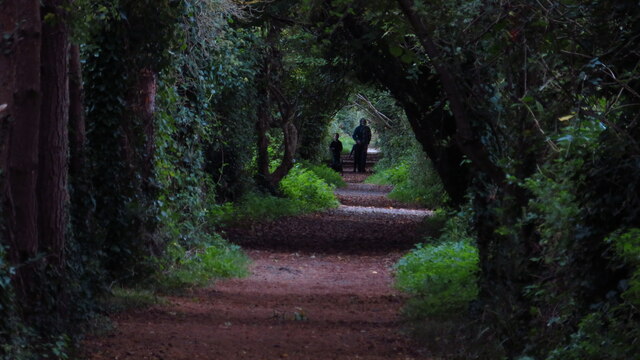
Chapel Cleeve is a small village located in the county of Somerset, England. Situated on the eastern edge of Exmoor National Park, Chapel Cleeve is surrounded by picturesque countryside and offers stunning views of the nearby Bristol Channel.
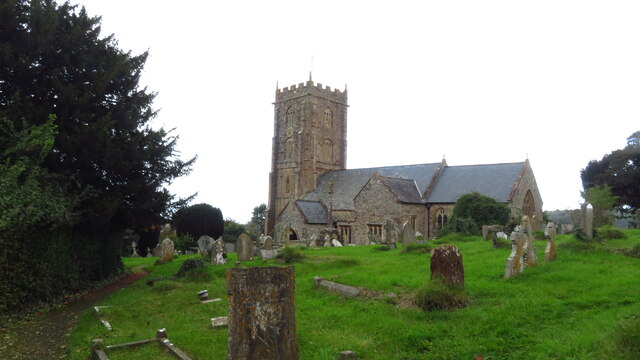
The village is known for its historic charm, with several notable buildings that date back to the 15th century. One of the most prominent landmarks is the Chapel Cleeve Manor, a Grade I listed building that has been well-preserved over the centuries. The manor features a beautiful courtyard and gardens, making it a popular attraction for visitors.
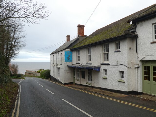
In addition to its architectural heritage, Chapel Cleeve is also home to a thriving community. The village has a small primary school, a village hall, and a local pub, which serves as a social hub for residents and visitors alike. The surrounding area offers plenty of opportunities for outdoor activities, including hiking, cycling, and horseback riding.
Chapel Cleeve is well-connected to other parts of Somerset and the South West region. The village is located just off the A39, which provides easy access to nearby towns and cities such as Minehead and Taunton. The nearest train station is in the town of Williton, approximately 3 miles away.
Overall, Chapel Cleeve is a charming village that combines natural beauty with a rich history. Whether you're looking to explore the countryside or immerse yourself in the local community, Chapel Cleeve offers a delightful experience for residents and visitors alike.
If you have any feedback on the listing, please let us know in the comments section below.
Chapel Cleeve Images
Images are sourced within 2km of 51.177295/-3.37849 or Grid Reference ST0342. Thanks to Geograph Open Source API. All images are credited.


Chapel Cleeve is located at Grid Ref: ST0342 (Lat: 51.177295, Lng: -3.37849)
Administrative County: Somerset
District: Somerset West and Taunton
Police Authority: Avon and Somerset
What 3 Words
///power.flamenco.laughs. Near Watchet, Somerset
Nearby Locations
Related Wikis
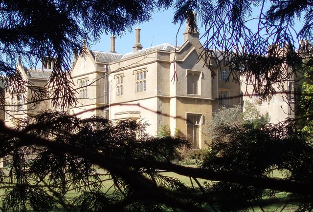
Chapel Cleeve Manor
Chapel Cleeve Manor in Chapel Cleeve, Somerset, England started life in the 1450s as a pilgrims' hostel. It was enlarged in the 19th and 20th centuries...
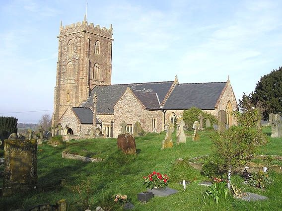
Old Cleeve
Old Cleeve is a village 5 miles (8 km) south east of Minehead in the Somerset West and Taunton district of Somerset, England, and also a civil parish....
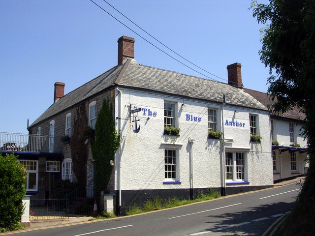
Blue Anchor
Blue Anchor is a seaside village, in the parish of Old Cleeve, close to Carhampton in the Somerset West and Taunton district of Somerset, England. The...
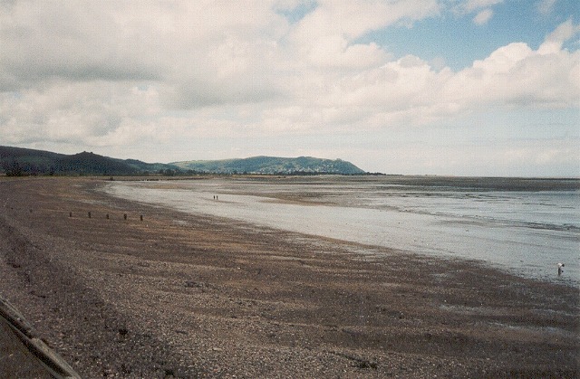
Blue Anchor to Lilstock Coast SSSI
Blue Anchor to Lilstock Coast SSSI (grid reference ST033435 to grid reference ST195462) is a 742.8 hectare geological Site of Special Scientific Interest...
Nearby Amenities
Located within 500m of 51.177295,-3.37849Have you been to Chapel Cleeve?
Leave your review of Chapel Cleeve below (or comments, questions and feedback).