Pitdelphin Wood

Wood, Forest in Kincardineshire

Scotland

Pitdelphin Wood

AA box in Aberdeenshire This iconic building is situated on the B974, a few miles north of the Bridge of Dye.
AA box in Aberdeenshire Credit: Stephen Stachowiak

Pitdelphin Wood is a picturesque forest located in Kincardineshire, Scotland. Covering an area of approximately 100 acres, it is a popular destination for nature lovers and outdoor enthusiasts. The wood is situated near the village of Pitdelphin, surrounded by rolling hills and breathtaking landscapes.

The forest is primarily composed of native tree species, including oak, birch, and pine. These trees provide a diverse habitat for a wide range of flora and fauna. Walking through the wood, visitors can expect to encounter various birds, such as woodpeckers and owls, as well as small mammals like squirrels and foxes.

The wood features a network of well-maintained trails, allowing visitors to explore its beauty and tranquility. These paths wind through the forest, offering glimpses of wildflowers, moss-covered rocks, and babbling brooks. There are also several picnic spots dotted around the wood, providing the perfect opportunity to relax and enjoy a meal amidst nature.

Pitdelphin Wood is known for its rich biodiversity and is home to numerous rare and protected species. Conservation efforts have been put in place to preserve the natural integrity of the wood, ensuring its longevity for future generations to enjoy.

Overall, Pitdelphin Wood is a serene and enchanting forest, offering a peaceful escape from the hustle and bustle of everyday life. Its natural beauty, diverse wildlife, and well-maintained trails make it a must-visit destination for those seeking a connection with nature in Kincardineshire.

If you have any feedback on the listing, please let us know in the comments section below.

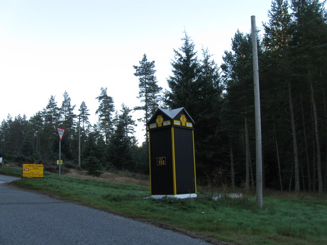
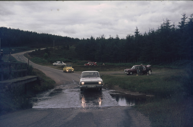
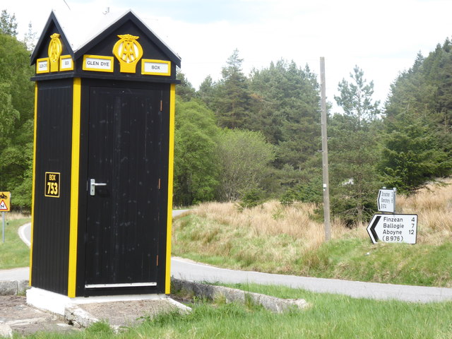
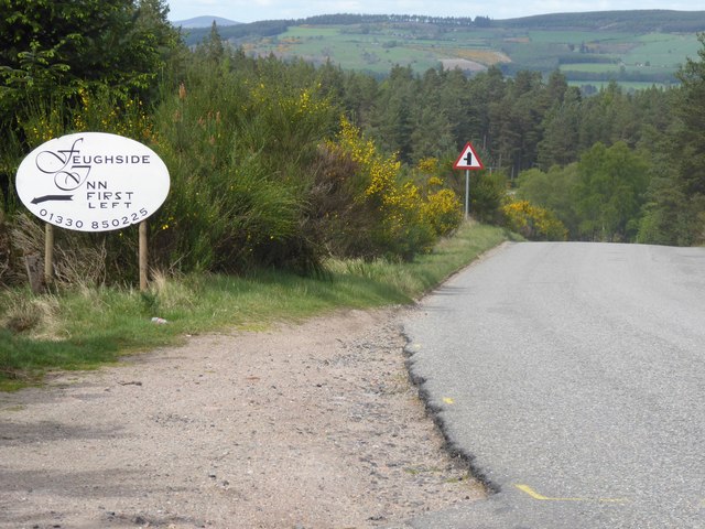
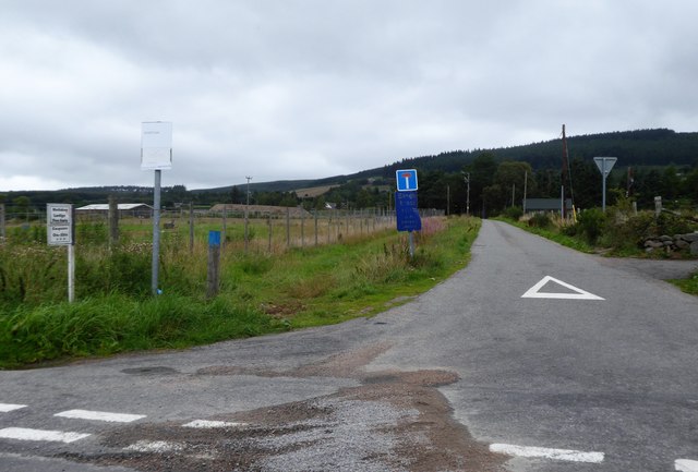
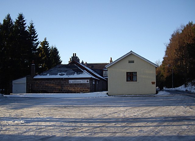
Pitdelphin Wood Images

Images are sourced within 2km of 57.005188/-2.5704385 or Grid Reference NO6590. Thanks to Geograph Open Source API. All images are credited.

AA box in Aberdeenshire This iconic building is situated on the B974, a few miles north of the Bridge of Dye.
AA box in Aberdeenshire
This iconic building is situated on the B974, a few miles north of the Bridge of Dye.
AA phonebox in Glen Dye A much-photographed echo of a long-gone era of motoring.
AA phonebox in Glen Dye
A much-photographed echo of a long-gone era of motoring.
AA Telephone box between Fettercairn and Banchory These boxes are few and far between nowadays.
AA Telephone box between Fettercairn and Banchory
These boxes are few and far between nowadays.
AA box 753 At the start or end of the road over the Cairn O' Mount
AA box 753
At the start or end of the road over the Cairn O' Mount
Glen Dye AA Box 753
Glen Dye AA Box 753
Ford at a ford (Burn of Brooky) From my trip to Scotland in July 1974. I then drove a Ford 12m (German production), scrapped long time ago.
The ford is near Glen Dye on the B974 Banchory to Fettercairn road. At a junction, a minor road (Old Military Road) turns North-west and crosses the Burn of Brooky. A ford then, now the Burn is probably in a pipe (see Google Street View <span class="nowrap"><a title="https://www.google.com/maps/@56.9921192,-2.5779368,3a,75y,182.34h,81.64t/data=!3m6!1e1!3m4!1sIFtPEKg16yUweTjc2Ylj7A!2e0!7i13312!8i6656" rel="nofollow ugc noopener" href="https://www.google.com/maps/@56.9921192,-2.5779368,3a,75y,182.34h,81.64t/data=!3m6!1e1!3m4!1sIFtPEKg16yUweTjc2Ylj7A!2e0!7i13312!8i6656">Link</a><img style="margin-left:2px;" alt="External link" title="External link - shift click to open in new window" src="https://s1.geograph.org.uk/img/external.png" width="10" height="10"/></span> )
Lefthand side at the B974, an AA box is visible.
Ford at a ford (Burn of Brooky)
From my trip to Scotland in July 1974. I then drove a Ford 12m (German production), scrapped long time ago. The ford is near Glen Dye on the B974 Banchory to Fettercairn road. At a junction, a minor road (Old Military Road) turns North-west and crosses the Burn of Brooky. A ford then, now the Burn is probably in a pipe (see Google Street View LinkExternal link ) Lefthand side at the B974, an AA box is visible.
AA Box 753, Glen Dye road junction
B974 heading south past Aboyne road junction AA phone box 753 on the left.
B974 heading south past Aboyne road junction
AA phone box 753 on the left.
Descent from Cairn O'Mount towards Deeside On B974 approaching road junction for Aboyne (off left).
Descent from Cairn O'Mount towards Deeside
On B974 approaching road junction for Aboyne (off left).
Early directions to Feughside Inn Turn left ahead, off B974.
Early directions to Feughside Inn
Turn left ahead, off B974.
Single track lane to Tillylair From its junction with B976 near Castle Hill.
Single track lane to Tillylair
From its junction with B976 near Castle Hill.
Forest track heading of the Old Military Road (B974) Looking north-eastward.
Forest track heading of the Old Military Road (B974)
Looking north-eastward.
Road Junction on the B974 The B974, Banchory to Fettercairn road, continues to the right and leads to Banchory. The minor road branching off to the left leads to Aboyne after joining the B976.
Glen Dye AA Box 753 is at the fork in the road. According to the website 'Sabre Roads', it is one of only eighteen surviving AA Boxes in the United Kingdom. See <span class="nowrap"><a title="https://www.sabre-roads.org.uk/wiki/?title=Motoring_organisation_telephone" rel="nofollow ugc noopener" href="https://www.sabre-roads.org.uk/wiki/?title=Motoring_organisation_telephone">Link</a><img style="margin-left:2px;" alt="External link" title="External link - shift click to open in new window" src="https://s1.geograph.org.uk/img/external.png" width="10" height="10"/></span> for a full list of these AA Boxes.
Road Junction on the B974
The B974, Banchory to Fettercairn road, continues to the right and leads to Banchory. The minor road branching off to the left leads to Aboyne after joining the B976. Glen Dye AA Box 753 is at the fork in the road. According to the website 'Sabre Roads', it is one of only eighteen surviving AA Boxes in the United Kingdom. See LinkExternal link for a full list of these AA Boxes.
AA Box 753 The old AA box by the side of the B974.
AA Box 753
The old AA box by the side of the B974.
AA Box on the B974 The AA describe the location of this box as;- Glen Dye. Cairn O'Mount - Banchory B974/Junction Aboyne (unclassifiad)
AA Box on the B974
The AA describe the location of this box as;- Glen Dye. Cairn O'Mount - Banchory B974/Junction Aboyne (unclassifiad)
Forest track in Cuttie's Wood Track heading westwards through Cuttie's Wood.
Forest track in Cuttie's Wood
Track heading westwards through Cuttie's Wood.
Cuttie's Hillock trig pillar The triangulation pillar on Cuttie's Hillock viewed from the west.
Cuttie's Hillock trig pillar
The triangulation pillar on Cuttie's Hillock viewed from the west.
Footbridge over the Burn of Greendams Wooden footbridge over the Burn of Greendams, viewed from the east.
Footbridge over the Burn of Greendams
Wooden footbridge over the Burn of Greendams, viewed from the east.
Show me another place!

Pitdelphin Wood is located at Grid Ref: NO6590 (Lat: 57.005188, Lng: -2.5704385)

Unitary Authority: Aberdeenshire

Police Authority: North East

What 3 Words

///waxes.grins.tasters. Near Banchory, Aberdeenshire

Nearby Locations

Pitdelphin Wood Black Loch

Related Wikis

Water of Aven

The Water of Aven (or A'an) (Scottish Gaelic: an t-Uisge Bàn) is a tributary of the Water of Feugh, itself the largest tributary of the River Dee, Aberdeenshire...

Strachan, Aberdeenshire

Strachan is a village in Aberdeenshire, Scotland that lies along the Water of Feugh, a tributary of the River Dee, Aberdeenshire, a few miles southwest...

Finzean

Finzean (; Scottish Gaelic: Fìnnean) is a rural community, electoral polling district, community council area and former ecclesiastical parish, which forms...

Scolty Hill

Scolty Hill is a small hill south of the Deeside town, Banchory. Its best known feature is the 20m tall tower monument, built in 1840 as a memorial to...

Easter Clune Castle

Easter Clune Castle is a ruined 16th-century tower house, about 6 miles (9.7 km) south-west of Banchory, Aberdeenshire, Scotland, and south of the Water...

Mounth

The Mounth ( MUNTH) is the broad upland in northeast Scotland between the Highland Boundary and the River Dee, at the eastern end of the Grampians....

Clachnaben

Clachnaben (archaically "Cloch-na'bain"; Scottish Gaelic: "Clach na Beinne") is a 589-metre hill in Glen Dye, Aberdeenshire, Scotland. It is a distinctive...

Kinneskie Road drill hall, Banchory

The Kinneskie Road drill hall is a former military installation near Banchory, Scotland. == History == The building was designed as the headquarters of...

Nearby Amenities

Located within 500m of 57.005188,-2.5704385
Power: pole
Lat/Long: 57.0093621/-2.5733851
Power: pole
Lat/Long: 57.0088956/-2.574636
Power: pole
Lat/Long: 57.0085096/-2.5757007
Power: pole
Lat/Long: 57.0026444/-2.5677767
Power: pole
Lat/Long: 57.0023209/-2.5712611
Power: pole
Lat/Long: 57.0020958/-2.5730238
Power: pole
Lat/Long: 57.001817/-2.5737697
Power: pole
Lat/Long: 57.0014846/-2.5746948
The data included in this document is from www.openstreetmap.org. The data is made available under ODbL.

Have you been to Pitdelphin Wood?

Leave your review of Pitdelphin Wood below (or comments, questions and feedback).