Champernhayes Marsh

Settlement in Dorset

England

Champernhayes Marsh

A 35 to Bridport
A 35 to Bridport Credit: Roger Cornfoot

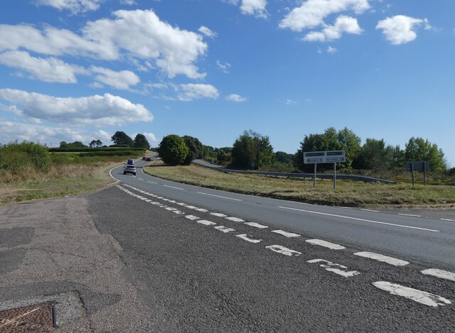
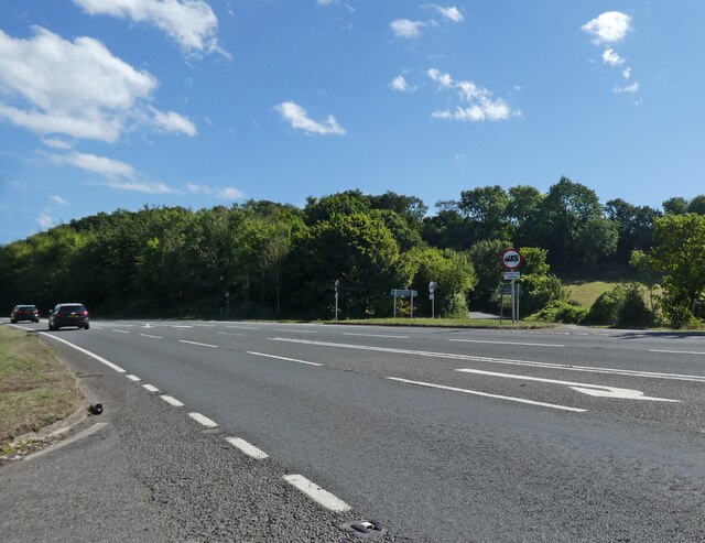
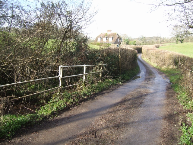
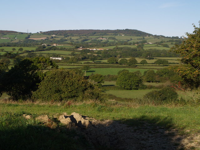
Champernhayes Marsh is a picturesque nature reserve located in the county of Dorset, England. Situated near the small village of Marshwood, this marshland area spans approximately 20 acres and is a haven for wildlife and nature enthusiasts.

The marsh is characterized by its diverse ecosystem, consisting of open water, reed beds, and wet grassland. It is home to a wide variety of plants and animals, including rare and endangered species. The area is particularly known for its abundance of birdlife, attracting birdwatchers from far and wide.

Reed warblers, sedge warblers, and water rails are just a few of the bird species that can be spotted at Champernhayes Marsh. The marshland also provides an important breeding ground for waterfowl, such as mallards and tufted ducks. Additionally, the area is a habitat for amphibians, including frogs and toads, as well as various insects and small mammals.

The marsh is open to the public and offers several walking trails, allowing visitors to explore the natural beauty of the area. These trails provide excellent opportunities for observing wildlife and enjoying the serene atmosphere. Interpretive boards are strategically placed along the paths, providing information about the flora and fauna found in the marsh.

Champernhayes Marsh is not only a haven for wildlife but also a vital part of the local ecosystem. Its preservation and protection are of utmost importance to maintain the delicate balance of nature in the region.

If you have any feedback on the listing, please let us know in the comments section below.

Champernhayes Marsh Images

Images are sourced within 2km of 50.768928/-2.9231034 or Grid Reference SY3597. Thanks to Geograph Open Source API. All images are credited.

A 35 to Bridport
A 35 to Bridport
Cottage at Penn
Cottage at Penn
Junction on the A35, at Lyme Hill
Farmland to the east of Mill Lane, near Penn
Site of ford and former mill, Champernhayes
Champernhayes Farm
Champernhayes Farm
Farmland and stream near Monkton Wylde
Woodland ride, Wylde Warren
Ridge Farm
Ridge Farm
Farmland west of Coney's Castle
Farmland near Wootton Fitzpaine
Wootton Fitzpaine View to the sea from fields above Wootton Fitzpaine, Dorset.
Wootton Fitzpaine
View to the sea from fields above Wootton Fitzpaine, Dorset.
Forest Farm, Highgate, West Dorset This is just north of Monkton Wyld, West Dorset
Forest Farm, Highgate, West Dorset
This is just north of Monkton Wyld, West Dorset
Monkton Wyld Church (St. Andrew) This church was built in 1849. The spire is 120 ft high. It is made of chert stone and a dressing of Caen stone.
Monkton Wyld Church (St. Andrew)
This church was built in 1849. The spire is 120 ft high. It is made of chert stone and a dressing of Caen stone.
Farmland near to Blackpool Corner Farmland photographed from the Tilworth road.
Farmland near to Blackpool Corner
Farmland photographed from the Tilworth road.
Pylons Pylons a blot on the landscape
Pylons
Pylons a blot on the landscape
Monkton Wyld: parish church of St. Andrew The church was built in 1849 and the spire is 120 feet tall.
Monkton Wyld: parish church of St. Andrew
The church was built in 1849 and the spire is 120 feet tall.
Monarch's Way The Monarch's Way leaves the lane near Stubbs Farm to follow a stream down to the coast at Charmouth.
Monarch's Way
The Monarch's Way leaves the lane near Stubbs Farm to follow a stream down to the coast at Charmouth.
Show me another place!

Champernhayes Marsh is located at Grid Ref: SY3597 (Lat: 50.768928, Lng: -2.9231034)

Unitary Authority: Dorset

Police Authority: Dorset

What 3 Words

///clashing.press.clues. Near Charmouth, Dorset

Related Wikis

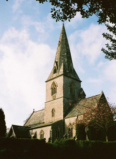
St Andrew's Church, Monkton Wyld

St Andrew's Church is a Church of England church in Monkton Wyld, Dorset, England. It was built in 1848–49 to the designs of Richard Cromwell Carpenter...

St John's Church, Fishpond Bottom

St John's Church is a Church of England church in Fishpond Bottom, Dorset, England. It was built in 1852 and has been a Grade II listed building since...

Coney's Castle

Coney's Castle is an Iron Age hillfort in Dorset, England. The name Coney is from the Old English for rabbit (Latin cuniculus), suggesting medieval use...

Wootton Fitzpaine

Wootton Fitzpaine is a village and civil parish in the county of Dorset in South West England. It lies approximately 3 miles (4.8 km) north-east of Lyme...

Lambert's Castle

Lambert's Castle is an Iron Age hillfort in the county of Dorset in southwest England. Since 1981 it has been designated as a Site of Special Scientific...

Lambert's Castle Hill

Lambert's Castle Hill (258 metres, 846 feet high) rises between the villages of Marshwood and Fishpond Bottom in the county of Dorset, England. It is...

Catherston Leweston

Catherston Leweston is a small village and civil parish in the county of Dorset in southwest England. It lies approximately 2 miles (3.2 km) northeast...

Raymond's Hill

Raymond's Hill is a village and residential area off the A35 road in Devon, England, right on the border with the county of Dorset. It is about 2 miles...

Nearby Amenities

Located within 500m of 50.768928,-2.9231034
Poles: bipole
Power: pole
Lat/Long: 50.7717752/-2.9244836
Power: pole
Lat/Long: 50.7704445/-2.9246861
Power: pole
Lat/Long: 50.7694708/-2.9248148
Power: pole
Lat/Long: 50.7673995/-2.9243937
Power: pole
Lat/Long: 50.766536/-2.924206
Power: pole
Lat/Long: 50.7656709/-2.924045
Power: pole
Lat/Long: 50.7645868/-2.9238465
Power: pole
Lat/Long: 50.7649973/-2.9233691
Power: pole
Lat/Long: 50.7657353/-2.9239109
Power: pole
Lat/Long: 50.7666141/-2.9238787
Power: pole
Lat/Long: 50.7687346/-2.9238573
Power: pole
Lat/Long: 50.7698236/-2.9238439
Power: pole
Lat/Long: 50.7709432/-2.9238197
Power: pole
Lat/Long: 50.7721561/-2.9237956
Power: pole
Source: bing
Lat/Long: 50.7683309/-2.9245788
Power: pole
Source: bing
Lat/Long: 50.767693/-2.923868
Power: pole
Source: bing
Lat/Long: 50.7720305/-2.925815
Direction: W
Generator Method: photovoltaic
Generator Output Electricity: yes
Generator Solar Modules: 4
Generator Source: solar
Generator Type: solar_photovoltaic_panel
Location: roof
Power: generator
Lat/Long: 50.7696913/-2.9218228
Direction: W
Generator Method: photovoltaic
Generator Output Electricity: yes
Generator Solar Modules: 12
Generator Source: solar
Generator Type: solar_photovoltaic_panel
Location: roof
Power: generator
Lat/Long: 50.7696218/-2.9218396
Power: pole
Source: bing
Lat/Long: 50.773111/-2.9247772
Power: pole
Source: bing
Lat/Long: 50.7725398/-2.9257103
Power: pole
Source: bing
Transformer: distribution
Lat/Long: 50.768845/-2.9222337
Power: pole
Source: bing
Lat/Long: 50.7681729/-2.9225599
Power: pole
Source: bing
Lat/Long: 50.7680227/-2.923713
Power: pole
Source: bing
Lat/Long: 50.7679656/-2.9241602
Power: pole
Source: bing
Lat/Long: 50.7669447/-2.9247039
Power: pole
Source: bing
Lat/Long: 50.7661252/-2.9245477
Power: pole
Source: bing
Lat/Long: 50.7704742/-2.9256611
Power: pole
Source: bing
Lat/Long: 50.7695453/-2.9253762
Power: pole
Source: bing
Lat/Long: 50.7687869/-2.9251603
Power: pole
Source: bing
Lat/Long: 50.7678832/-2.9248999
Power: pole
Source: bing
Lat/Long: 50.771433/-2.9259413
Power: pole
Source: bing
Lat/Long: 50.7705453/-2.929693
Power: pole
Source: bing
Lat/Long: 50.7708044/-2.9284988
Power: pole
Source: bing
Lat/Long: 50.7711218/-2.9272034
The data included in this document is from www.openstreetmap.org. The data is made available under ODbL.

Have you been to Champernhayes Marsh?

Leave your review of Champernhayes Marsh below (or comments, questions and feedback).