Chalvington

Settlement in Sussex Wealdon

England

Chalvington

Sheepcote Lane, near Chalvington Looking south just beyond Mount Pleasant Farm. This is the same lane from <a href="https://www.geograph.org.uk/gridref/TQ5411">TQ5411</a>.
Sheepcote Lane, near Chalvington Credit: Simon Carey

Chalvington is a small village located in the county of East Sussex, England. Situated in the South Downs, it lies approximately 8 miles northeast of the town of Hailsham and 14 miles northwest of the coastal city of Eastbourne. With a population of around 600 residents, the village maintains a close-knit community atmosphere.

The origins of Chalvington can be traced back to the Saxon period, and evidence of its long history can still be seen in the traditional architecture of many of its buildings. The village is characterized by picturesque cottages, a charming church, and a village green, which serves as a focal point for community events and gatherings.

Surrounded by beautiful countryside, Chalvington offers residents and visitors ample opportunities for outdoor activities. The South Downs National Park, which encompasses the village, provides stunning landscapes for hiking, cycling, and horse riding. Additionally, the nearby Cuckmere Valley offers scenic walking trails along the meandering River Cuckmere.

Despite its relatively small size, Chalvington boasts a number of amenities to cater to the needs of its residents. These include a village hall, a primary school, and a local pub, where locals and visitors can enjoy a friendly atmosphere and traditional pub fare.

With its idyllic setting, rich history, and strong sense of community, Chalvington is a charming village that offers a peaceful retreat for those seeking to experience the beauty of the Sussex countryside.

If you have any feedback on the listing, please let us know in the comments section below.
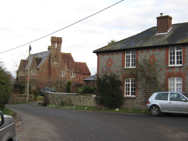
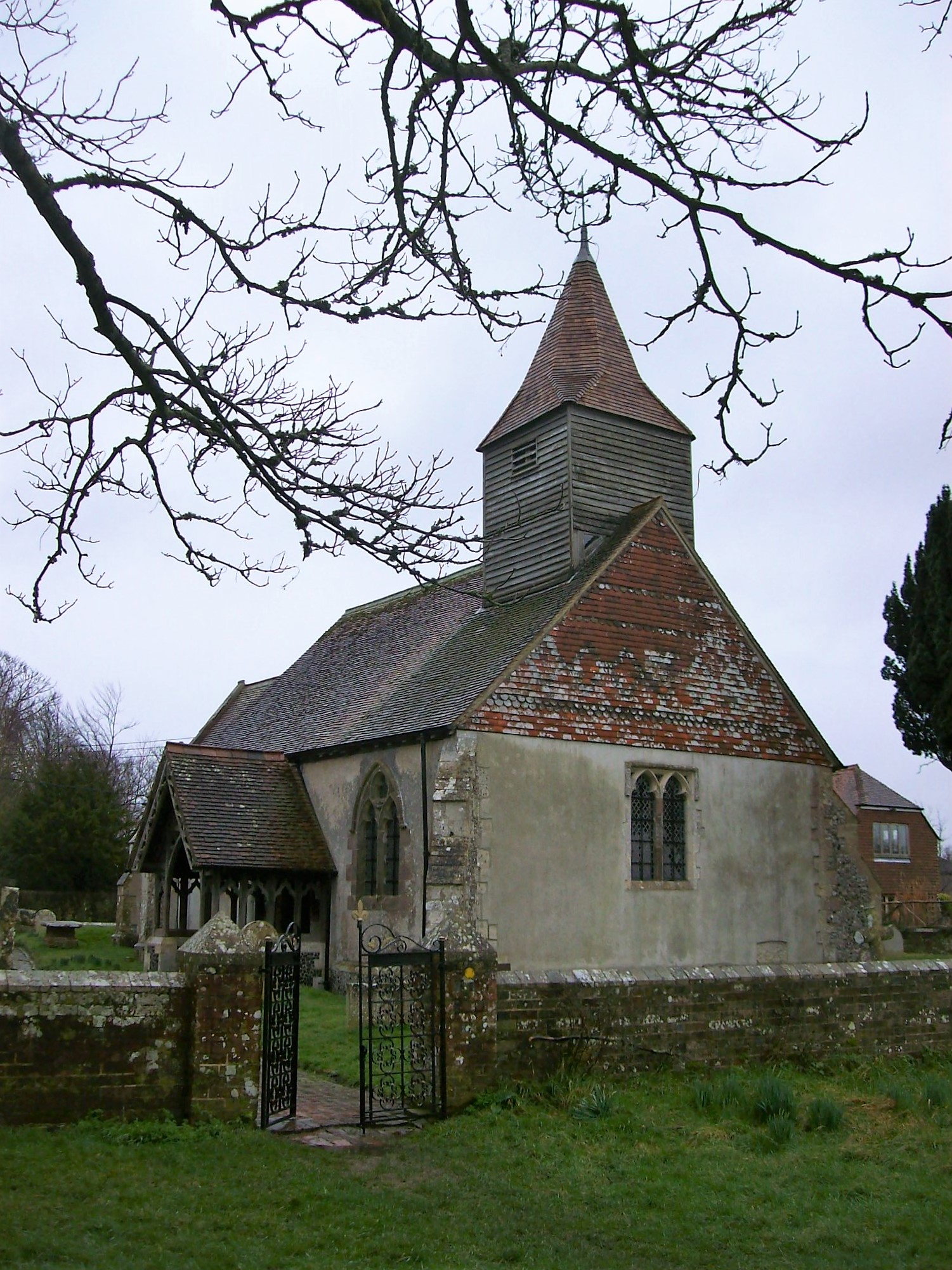
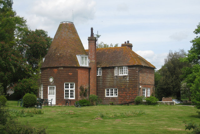
Chalvington Images

Images are sourced within 2km of 50.864446/0.15911779 or Grid Reference TQ5209. Thanks to Geograph Open Source API. All images are credited.

Sheepcote Lane, near Chalvington Looking south just beyond Mount Pleasant Farm. This is the same lane from <a href="https://www.geograph.org.uk/gridref/TQ5411">TQ5411</a>.
Sheepcote Lane, near Chalvington
Looking south just beyond Mount Pleasant Farm. This is the same lane from TQ5411.
Village Square, Ripe Looking south from Ripe Lane. The village store is to the left, the pub straight ahead. The road to the east goes to Chalvington, the road to the west eventually makes its way to the A27.
Village Square, Ripe
Looking south from Ripe Lane. The village store is to the left, the pub straight ahead. The road to the east goes to Chalvington, the road to the west eventually makes its way to the A27.
Anglers Pond, Ripe Used by Southdown Anglers club. The stream is dammed at both ends.
Anglers Pond, Ripe
Used by Southdown Anglers club. The stream is dammed at both ends.
Pollards Farm Cottage On the road that links Chalvington and Golden Cross.
Pollards Farm Cottage
On the road that links Chalvington and Golden Cross.
Deanland Airfield Constructed in the spring of 1943 as an advanced airfield landing ground to help the D Day landings. It closed down after the war and was reactivated in 1963 by a local farmer as a landing strip for his own planes. From that point it grew as more people wished to have a base for their planes.
Deanland Airfield
Constructed in the spring of 1943 as an advanced airfield landing ground to help the D Day landings. It closed down after the war and was reactivated in 1963 by a local farmer as a landing strip for his own planes. From that point it grew as more people wished to have a base for their planes.
Pond, near Veals Farm A private angling pond next to the bridleway that links Ripe Lane with Broomhams. The building belongs to Deanland Airfield.
Pond, near Veals Farm
A private angling pond next to the bridleway that links Ripe Lane with Broomhams. The building belongs to Deanland Airfield.
Entrance to Green Lane Cottage The drive is in fact a bridleway that links Ripe with Deanland Road.
Entrance to Green Lane Cottage
The drive is in fact a bridleway that links Ripe with Deanland Road.
Mark Cross Lane, Ripe The lane leads to the village of Laughton.
Mark Cross Lane, Ripe
The lane leads to the village of Laughton.
Old Cottage, Main Street, Ripe This house is actually called "The Old Cottage" and dates from the 17th century or maybe earlier. The cottage has an extended and gabled porch and the whole building is timber framed with herring-bone brick infill. (This would have originally been plastered or painted)
Old Cottage, Main Street, Ripe
This house is actually called "The Old Cottage" and dates from the 17th century or maybe earlier. The cottage has an extended and gabled porch and the whole building is timber framed with herring-bone brick infill. (This would have originally been plastered or painted)
Ripe Post Office The large building contains a general store and Post Office. The view was taken from the Main Street; the road left leads to Golden Cross and to the right to Chalvington.
Ripe Post Office
The large building contains a general store and Post Office. The view was taken from the Main Street; the road left leads to Golden Cross and to the right to Chalvington.
Church Lane and Lamb Inn, Ripe Church lane leads to the church which is about half a mile south east of the village at Eckington Corner.
Church Lane and Lamb Inn, Ripe
Church lane leads to the church which is about half a mile south east of the village at Eckington Corner.
The Lamb Inn
The Lamb Inn
The Street, Ripe
The Street, Ripe
Ripe Lane, Ripe
Ripe Lane, Ripe
Burton Cottage A 17th century listed building on the main village square which contains the village post office and general stores. The Lamb Inn is to the right.
Burton Cottage
A 17th century listed building on the main village square which contains the village post office and general stores. The Lamb Inn is to the right.
Church Lane Narrow lane linking the village square in Ripe to the neighbouring village of Chalvington. The house on the right is called Meadowside.
Church Lane
Narrow lane linking the village square in Ripe to the neighbouring village of Chalvington. The house on the right is called Meadowside.
Follingers Plot The name of the field according to the 1837 tithe map. The stables at the far end seem not to be in use.
Follingers Plot
The name of the field according to the 1837 tithe map. The stables at the far end seem not to be in use.
The Follingers The name of the field according to the 1837 tithe map.
The Follingers
The name of the field according to the 1837 tithe map.
Show me another place!

Chalvington is located at Grid Ref: TQ5209 (Lat: 50.864446, Lng: 0.15911779)

Administrative County: East Sussex

District: Wealdon

Police Authority: Sussex

What 3 Words

///rams.dumpling.stops. Near Hailsham, East Sussex

Nearby Locations

Chalvington

Related Wikis

Chalvington with Ripe

The civil parish of Chalvington with Ripe, in the Wealden District of East Sussex, England, is made up of the two villages, Chalvington and Ripe. They...

RAF Deanland

RAF Deanland is a former Royal Air Force advanced landing ground located 4 miles (6.4 km) west of Hailsham, East Sussex and 13.4 miles (21.6 km) north...

Arlington Reservoir

Arlington Reservoir is a 100.4-hectare (248-acre) biological Site of Special Scientific Interest west of Hailsham in East Sussex, England. It is also a...

Berwick railway station (East Sussex)

Berwick railway station is located in Berwick, East Sussex, England. Berwick village is located nearby to the south of the A27 road. The station is on...

Selmeston

Selmeston is a village and civil parish in the Wealden District of East Sussex, England. It is located eight miles (13 km) east of Lewes, to the north...

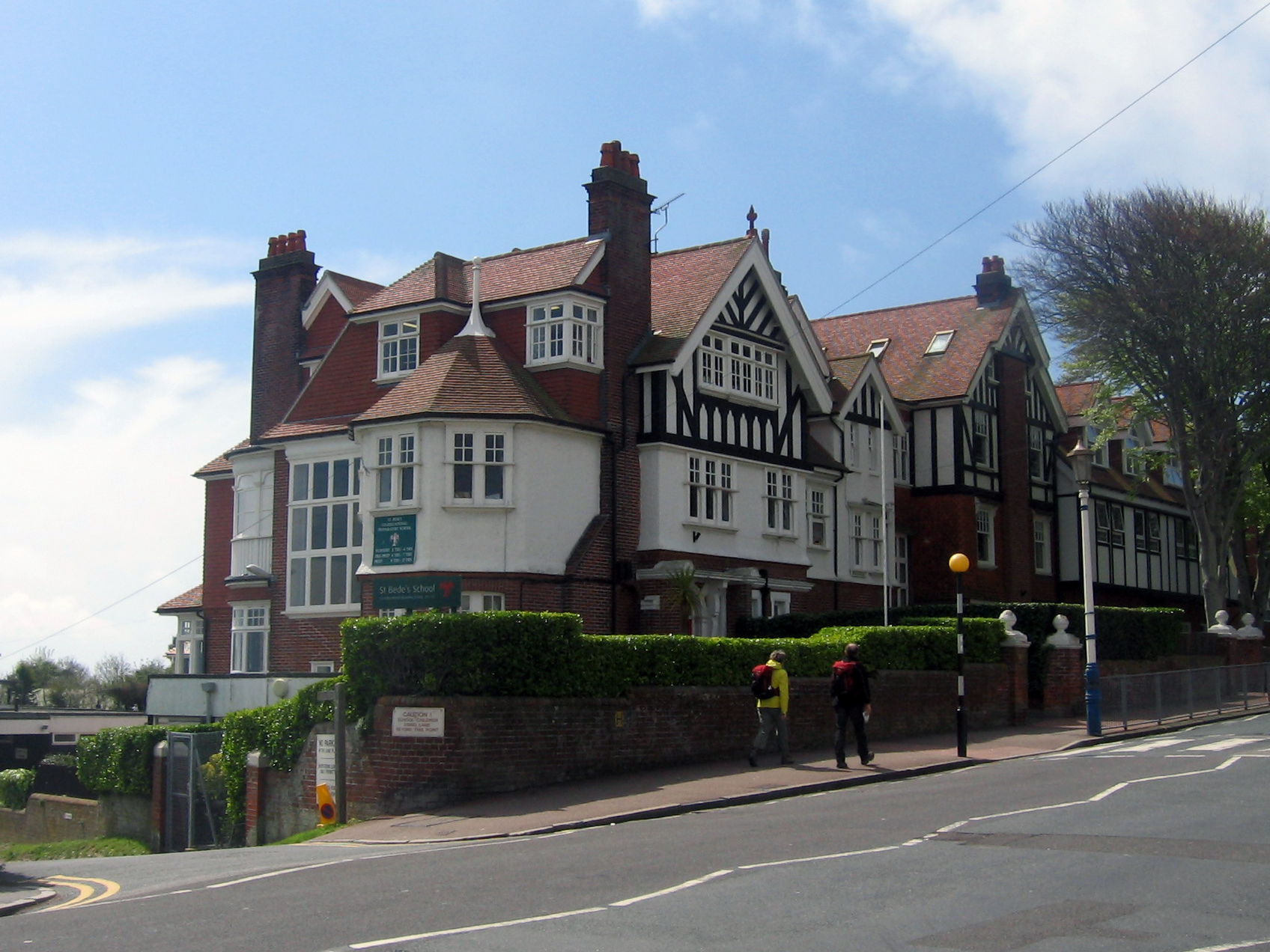
Bede's School, Eastbourne

Bede's School (until 2012, known as St Bede's School), consists of a preparatory school and pre-preparatory nursery in Holywell, Meads, Eastbourne, East...

Golden Cross, East Sussex

Golden Cross is a small village in the Wealden district of East Sussex, England. Its nearest town is Hailsham, which lies approximately 3+1⁄2 miles (6...

Arlington, East Sussex

Arlington is a village and civil parish in the Wealden district of East Sussex, England. The parish is on the River Cuckmere, and is the location of a...

Nearby Amenities

Located within 500m of 50.864446,0.15911779
Power: tower
Lat/Long: 50.8603224/0.1581616
Power: tower
Lat/Long: 50.8610678/0.1560949
Power: tower
Lat/Long: 50.861796/0.1540092
Post Box
Operator: Royal Mail
Post Box Type: wall
Ref: BN27 896
Royal Cypher: EIIR
Royal Cypher Wikidata: Q33102113
Lat/Long: 50.8644878/0.1592046
Material: wood
Power: pole
Source: bing
Lat/Long: 50.8663287/0.1528666
Material: wood
Power: pole
Source: bing
Lat/Long: 50.8672592/0.1543734
Material: wood
Power: pole
Source: bing
Lat/Long: 50.8674896/0.155878
Material: wood
Power: pole
Source: bing
Lat/Long: 50.8677068/0.1573383
Material: wood
Power: pole
Source: bing
Lat/Long: 50.8679871/0.159201
Material: wood
Power: pole
Source: bing
Lat/Long: 50.8682704/0.1610985
Chalvington
Place: village
Lat/Long: 50.8647696/0.1584506
The data included in this document is from www.openstreetmap.org. The data is made available under ODbL.

Have you been to Chalvington?

Leave your review of Chalvington below (or comments, questions and feedback).