Major's Plantation

Wood, Forest in Roxburghshire

Scotland

Major's Plantation

Field entrance near Pirnie
Field entrance near Pirnie Credit: JThomas

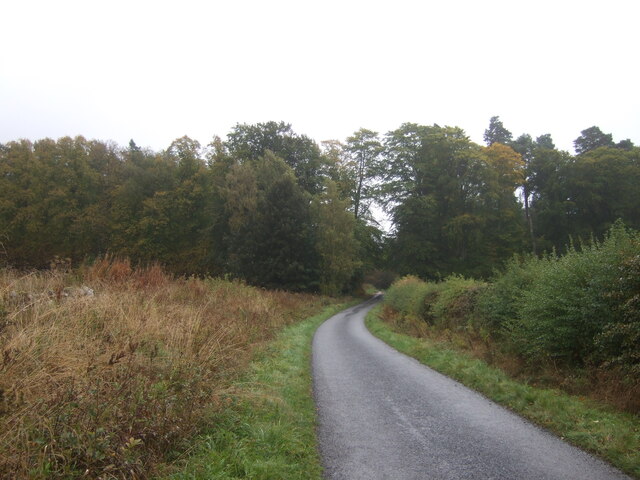
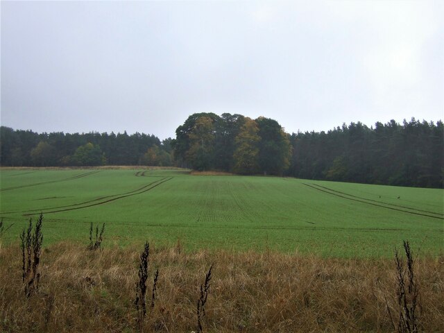
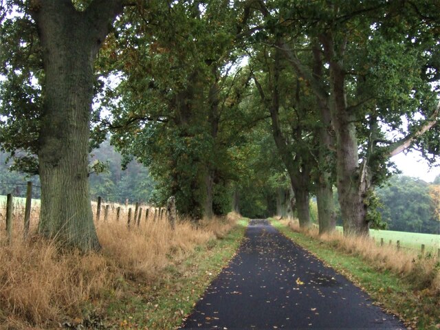
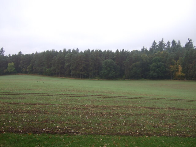
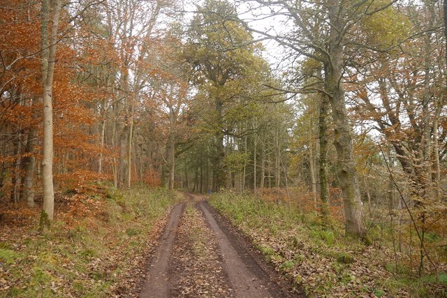
Major's Plantation is a vast woodland located in Roxburghshire, Scotland. Spanning over several acres, it is situated in the heart of the picturesque countryside, surrounded by rolling hills and breathtaking landscapes. The plantation is predominantly covered in a dense forest, characterized by a diverse range of tree species, including oak, birch, beech, and pine.

This woodland is a haven for wildlife enthusiasts and nature lovers alike. It provides a natural habitat for various animal species, such as red deer, foxes, badgers, and a wide variety of bird species. The tranquil environment and lush vegetation make it an ideal spot for birdwatching, with sightings of rare and migratory birds being quite common.

Major's Plantation offers numerous walking trails, allowing visitors to explore the beauty of the woodland at their own pace. The trails are well-maintained and offer breathtaking views of the surrounding countryside. Additionally, the plantation also features picnic areas, making it a perfect destination for a family day out or a peaceful retreat.

The woodland is managed by a dedicated team of forestry professionals who ensure the preservation and sustainability of the plantation. They employ responsible forestry practices, such as selective cutting and replanting, to maintain the delicate ecosystem of the area.

Overall, Major's Plantation offers a serene escape into the natural wonders of Roxburghshire. Its dense forest, diverse wildlife, and scenic trails make it an ideal destination for those seeking solace in nature and a chance to immerse themselves in the beauty of the Scottish countryside.

If you have any feedback on the listing, please let us know in the comments section below.

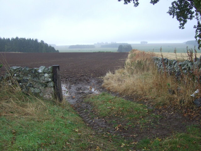
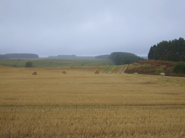
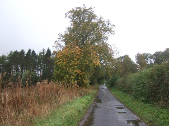
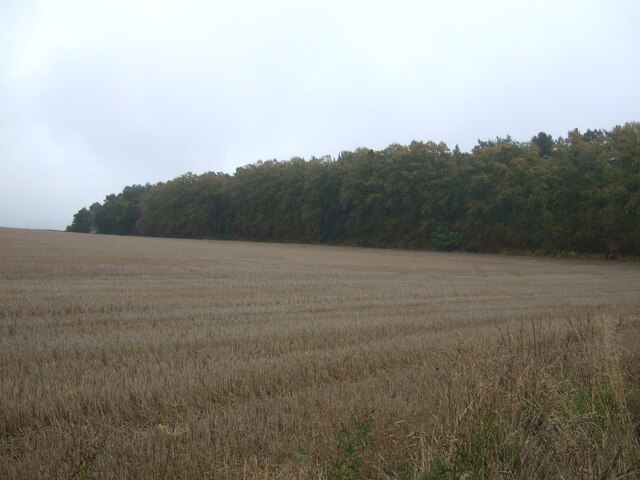
Major's Plantation Images

Images are sourced within 2km of 55.540145/-2.5613136 or Grid Reference NT6427. Thanks to Geograph Open Source API. All images are credited.

Field entrance near Pirnie
Stubble field, Pirnie Bales still out on the field.
Stubble field, Pirnie
Bales still out on the field.
Minor road, Pirnie On a damp morning in Autumn.
Minor road, Pirnie
On a damp morning in Autumn.
Farm track near Pirnie
Grazing near Pirnie
Grazing near Pirnie
Minor road near Pirnie Towards Fairnington.
Minor road near Pirnie
Towards Fairnington.
Ploughed field near Fairnington Towards Major's Plantation.
Ploughed field near Fairnington
Towards Major's Plantation.
Ploughed field near Fairnington Towards distant woodland and the Waterloo Monument on Peniel Heugh.
Ploughed field near Fairnington
Towards distant woodland and the Waterloo Monument on Peniel Heugh.
Minor road Fairnington
Prepared field and woodland near Fairnington
Minor beside woodland near Fairnington Towards Muirhouselaw.
Minor beside woodland near Fairnington
Towards Muirhouselaw.
Stubble field and woodland, Under Snipecleuch
Minor road into woodland, Under Snipecleuch
Winter cereal crop and woodland near Woodside
Minor road towards the B6400 With sturdy roadside trees to catch the idiot drivers.
Minor road towards the B6400
With sturdy roadside trees to catch the idiot drivers.
Emerging crop towards The Moor woodland Looking down a valley.
Emerging crop towards The Moor woodland
Looking down a valley.
Ordnance Survey Cut Mark This OS cut mark can be found on the Waterloo Monument. It marks a point 238.107m above mean sea level.
Ordnance Survey Cut Mark
This OS cut mark can be found on the Waterloo Monument. It marks a point 238.107m above mean sea level.
Road, Monument Wood Several 4*4s had just come past, it's the shooting season.  This meant I had no guarantee of getting to the square that I was aiming for - but timing the trip for lunch time and a lot of luck provided a clear run.   The woodland is glorious, shame the sunshine on Cheviot did not reach this far west.
Road, Monument Wood
Several 4*4s had just come past, it's the shooting season. This meant I had no guarantee of getting to the square that I was aiming for - but timing the trip for lunch time and a lot of luck provided a clear run. The woodland is glorious, shame the sunshine on Cheviot did not reach this far west.
Show me another place!

Major's Plantation is located at Grid Ref: NT6427 (Lat: 55.540145, Lng: -2.5613136)

Unitary Authority: The Scottish Borders

Police Authority: The Lothians and Scottish Borders

What 3 Words

///firepower.agrees.pegs. Near Saint Boswells, Scottish Borders

Nearby Locations

Major's Plantation

Related Wikis

Peniel Heugh

Peniel Heugh (237 m) is a hill near Ancrum and Nisbet in the Scottish Borders area of Scotland. On it stands the Waterloo Monument. == Geology == The heugh...

Waterloo Monument

The Waterloo Monument near Ancrum in the Scottish Borders is a 150-foot tower, built between 1817 and 1824 to commemorate the Battle of Waterloo. It was...

Monteviot House

Monteviot House is the early 18th century home of the Marquess of Lothian, the politician better known as Michael Ancram. It is located on the River Teviot...

Battle of Ancrum Moor

The Battle of Ancrum Moor was fought during the War of the Rough Wooing in 1545. The Scottish victory put a temporary end to English incursions in the...

Nearby Amenities

Located within 500m of 55.540145,-2.5613136
Fairnington road end
Naptan AtcoCode: 69001479
Naptan Bearing: E
Naptan BusStopType: CUS
Naptan CommonName: Fairnington road end
Naptan Indicator: adj Lodge
Naptan Landmark: Lodge
Naptan NaptanCode: 72726256
Naptan Street: fairnington
Naptan Verified: no
Source: naptan_import
Lat/Long: 55.5426264/-2.5630243
Fairnington road end
Naptan AtcoCode: 69001480
Naptan Bearing: W
Naptan BusStopType: CUS
Naptan CommonName: Fairnington road end
Naptan Indicator: opp Lodge
Naptan Landmark: Lodge
Naptan NaptanCode: 72726253
Naptan Street: fairnington
Naptan Verified: no
Source: naptan_import
Lat/Long: 55.5424554/-2.5630694
Natural: peak
Lat/Long: 55.543769/-2.5621977
The data included in this document is from www.openstreetmap.org. The data is made available under ODbL.

Have you been to Major's Plantation?

Leave your review of Major's Plantation below (or comments, questions and feedback).