Ballmuir Plantation

Wood, Forest in Roxburghshire

Scotland

Ballmuir Plantation

Stubble and cylindrical straw bales Near New Smailholm Farm.
Stubble and cylindrical straw bales Credit: Russel Wills

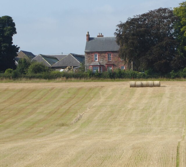
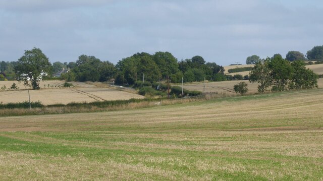
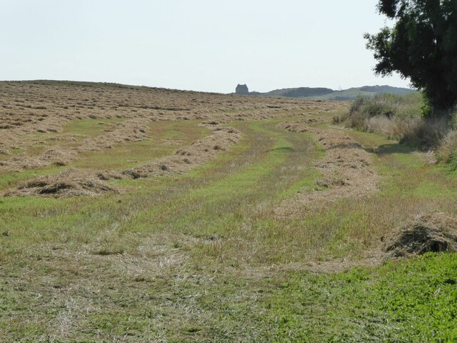
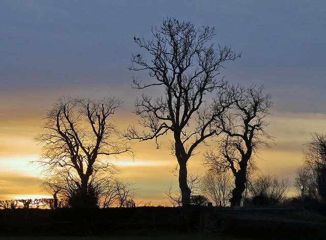
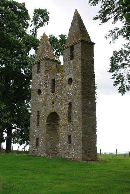
Ballmuir Plantation is a sprawling woodland located in Roxburghshire, Scotland. Covering an area of approximately 100 acres, the plantation boasts a diverse range of tree species and is renowned for its natural beauty and recreational opportunities.

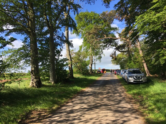
The plantation predominantly consists of native broadleaf trees such as oak, beech, and birch, which create a lush and vibrant canopy. These trees provide a habitat for a variety of wildlife, including birds, mammals, and insects. With its well-maintained paths and trails, Ballmuir Plantation offers an ideal setting for walking, cycling, and nature exploration.

Visitors to the plantation can immerse themselves in the tranquility of the woodlands, enjoying the sights and sounds of nature. The peaceful atmosphere is further enhanced by the presence of a small stream that meanders through the plantation, adding to the charm and serenity of the surroundings.

Ballmuir Plantation is a popular destination for nature lovers and outdoor enthusiasts alike. Its accessibility and well-marked trails make it an ideal location for family outings and picnics. The plantation also holds educational value, providing an opportunity for visitors to engage in environmental learning and appreciate the importance of conservation.

Managed by local authorities, Ballmuir Plantation is cared for and preserved to ensure its sustainability and enjoyment for future generations. Whether it is a leisurely stroll or a more vigorous hike, this woodland offers a peaceful retreat from the hustle and bustle of everyday life, allowing visitors to reconnect with nature in a stunning natural setting.

If you have any feedback on the listing, please let us know in the comments section below.

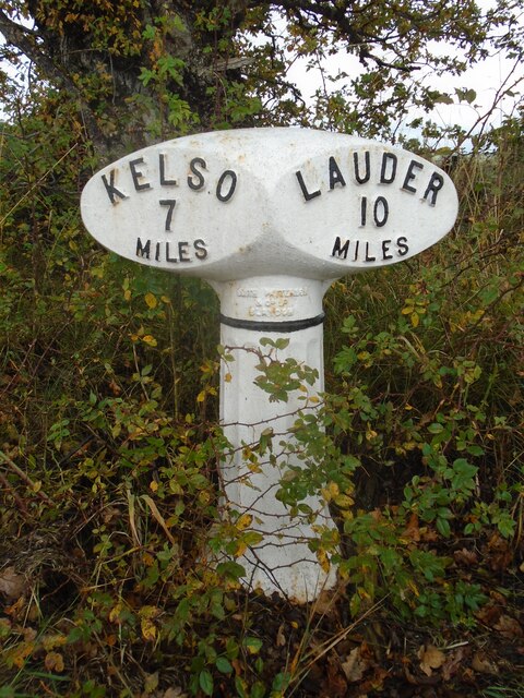
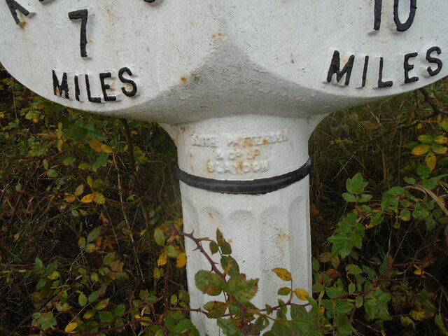
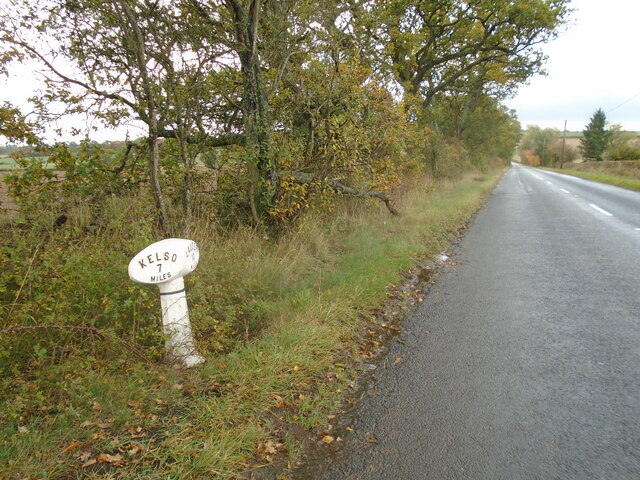
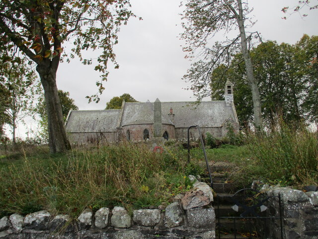
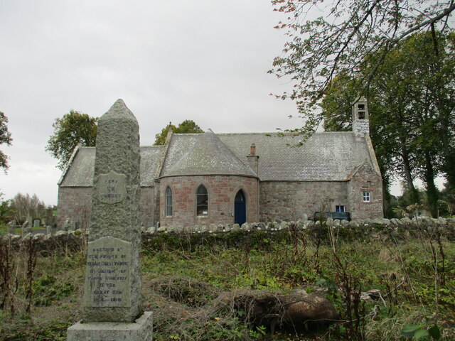
Ballmuir Plantation Images

Images are sourced within 2km of 55.627449/-2.5629583 or Grid Reference NT6437. Thanks to Geograph Open Source API. All images are credited.

Stubble and cylindrical straw bales Near New Smailholm Farm.
Stubble and cylindrical straw bales
Near New Smailholm Farm.
Stubble and uncut cereal crops Approaching Glennewton and Smailholm.
Stubble and uncut cereal crops
Approaching Glennewton and Smailholm.
Approaching Smailholm village From Over Town and Sandyknowe.
Approaching Smailholm village
From Over Town and Sandyknowe.
Field margin after harvesting Straw still to be collected and baled.
Smailholm Tower is visible from miles around!
Field margin after harvesting
Straw still to be collected and baled. Smailholm Tower is visible from miles around!
Winter trees at Smailholm The trees by the B6397 on the southeast side of Smailholm village were viewed from a field boundary.
Winter trees at Smailholm
The trees by the B6397 on the southeast side of Smailholm village were viewed from a field boundary.
Minor road near Mellerstain Mill
Mellerstain House The south facade
Mellerstain House
The south facade
Hundy Mundy The north facade of the eye-catcher for Mellerstain House
Hundy Mundy
The north facade of the eye-catcher for Mellerstain House
Hundy Mundy The eye-catcher for Mellerstain House
Hundy Mundy
The eye-catcher for Mellerstain House
Hundy Mundy Wood The entrance to the natural burial ground near Mellerstain, with an updated information board. For an earlier version see <a href="https://www.geograph.org.uk/photo/2662344">NT6637 : Hundy Mundy Wood information</a>.
Hundy Mundy Wood
The entrance to the natural burial ground near Mellerstain, with an updated information board. For an earlier version see NT6637 : Hundy Mundy Wood information.
Hundy Mundy Wood Burial Ground The entrance to the natural burial site, in a woodland on the Mellerstain Estate.
Hundy Mundy Wood Burial Ground
The entrance to the natural burial site, in a woodland on the Mellerstain Estate.
Old milestone & old milepost In Smailholm on the B5397 opposite the church and next to the bus-stop the two milemarkers are almost hidden by the rose bush and other plants on the verge.   A faint KELSO/6 can be made out on the left face of the stone with AUDER/11 on the right.  The L is missing probably lost when damage was sustained to the front edge.  This is the only stone known to survive on this route. This area of Borders was in Berwickshire prior to the 1970s.
Old milestone & old milepost
In Smailholm on the B5397 opposite the church and next to the bus-stop the two milemarkers are almost hidden by the rose bush and other plants on the verge. A faint KELSO/6 can be made out on the left face of the stone with AUDER/11 on the right. The L is missing probably lost when damage was sustained to the front edge. This is the only stone known to survive on this route. This area of Borders was in Berwickshire prior to the 1970s.
Old milepost This milepost on the B6397 just north of but on the opposite side of the road to Girnick has been dug out and painted fairly recently including the band of black near the top of the post.
Old milepost
This milepost on the B6397 just north of but on the opposite side of the road to Girnick has been dug out and painted fairly recently including the band of black near the top of the post.
Old milepost This shows the form of the foundry name which is always cast at the top of the post.   A few, like this one, have SMITH PATTERSOON/& CO/BLADEN.   Most posts have SMITH PATTERSON/FOUNDERS/BLADEN.
Old milepost
This shows the form of the foundry name which is always cast at the top of the post. A few, like this one, have SMITH PATTERSOON/& CO/BLADEN. Most posts have SMITH PATTERSON/FOUNDERS/BLADEN.
Old milepost Looking southeastwards towards Smailholm the foot of this post can be seen.   The turning to Girnick is just on the right in the dip.
Old milepost
Looking southeastwards towards Smailholm the foot of this post can be seen. The turning to Girnick is just on the right in the dip.
A  tight  bend  on  road  to  Smailholm
A tight bend on road to Smailholm
War  Memorial  and  church  Smailholm
War Memorial and church Smailholm
Smailholm  War  Memorial  with  church  behind The war memorial stands in an overgrown area between the road and the churchyard wall
Smailholm War Memorial with church behind
The war memorial stands in an overgrown area between the road and the churchyard wall
Show me another place!

Ballmuir Plantation is located at Grid Ref: NT6437 (Lat: 55.627449, Lng: -2.5629583)

Unitary Authority: The Scottish Borders

Police Authority: The Lothians and Scottish Borders

What 3 Words

///snows.ushering.wonderfully. Near Earlston, Scottish Borders

Nearby Locations

Ballmuir Plantation

Related Wikis

Smailholm

Smailholm (Scots: Smailhowm) is a small village in the historic county of Roxburghshire in south-east Scotland. It is at grid reference NT648364 and straddles...

Mellerstain House

Mellerstain House is a stately home around 8 miles (13 kilometres) north of Kelso in the Borders, Scotland. It is currently the home of George Baillie...

Smailholm Tower

Smailholm Tower is a peel tower at Smailholm, around five miles (8 km) west of Kelso in the Scottish Borders. Its dramatic situation, atop a crag of Lady...
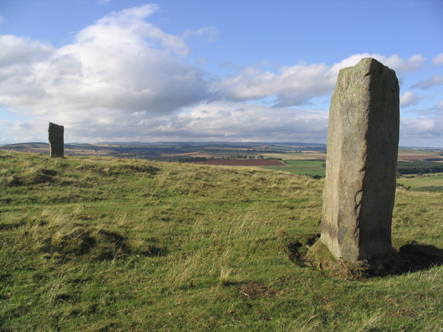
Brotherstone Hill

Brotherstone Hill is a hill near St. Boswells and the Eildon Hills in the Scottish Borders area of Scotland, with two standing stones from the megalithic...

Nenthorn

Nenthorn is a parish and hamlet in the south of the historic county of Berwickshire in the Scottish Borders area of Scotland. It is included in the Floors...

Bemersyde Moss

Bemersyde Moss is a Scottish Wildlife Trust nature reserve and a Site of Special Scientific Interest at Bemersyde in the Scottish Borders area of Scotland...

Makerstoun

Makerstoun is a parish in the Scottish Borders area of Scotland, as well as the historic county of Roxburghshire, 4 miles (6 km) south-west of Kelso.The...

Gordon Moss

Gordon Moss is a nature reserve near Gordon, in the Scottish Borders area of Scotland, in the former Berwickshire. The moss is situated one mile west of...

Nearby Amenities

Located within 500m of 55.627449,-2.5629583
Give Way
Direction: backward
Lat/Long: 55.6249212/-2.5679604
Give Way
Direction: forward
Lat/Long: 55.6249674/-2.5677505
Power: tower
Lat/Long: 55.6270094/-2.570025
Power: tower
Lat/Long: 55.6274948/-2.5673172
Power: tower
Lat/Long: 55.62799/-2.56473
Power: tower
Lat/Long: 55.6285435/-2.5618385
Power: tower
Lat/Long: 55.6290101/-2.5594006
Power: pole
Lat/Long: 55.6313941/-2.5624475
The data included in this document is from www.openstreetmap.org. The data is made available under ODbL.

Have you been to Ballmuir Plantation?

Leave your review of Ballmuir Plantation below (or comments, questions and feedback).