Hedderwick Hill Plantation

Wood, Forest in East Lothian

Scotland

Hedderwick Hill Plantation

Coastal East Lothian : Thou shag-hair'd villain! Having disposed of the young fry of treachery, the murderous creature from the dark muddy depths of Heckies Hole crawls ashore and casts its menacing shadow upon Spike Island Sands.
Coastal East Lothian : Thou shag-hair'd villain! Credit: Richard West

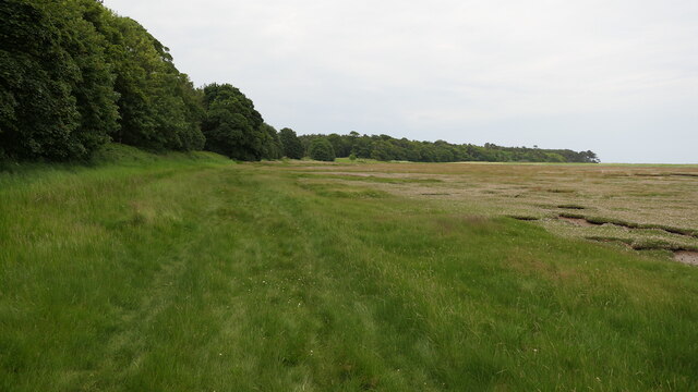
Hedderwick Hill Plantation is a picturesque woodland located in East Lothian, Scotland. Covering an area of approximately 100 hectares, the plantation is known for its diverse range of tree species and stunning natural beauty. It lies just south of the village of East Linton and is easily accessible from the nearby A1 road.

The woodland at Hedderwick Hill is primarily composed of mixed broadleaf trees, including oak, beech, birch, and ash. These trees create a rich and varied habitat, supporting a wide array of wildlife. Visitors to the plantation can expect to see an abundance of bird species, including woodpeckers, owls, and various songbirds. The forest floor is also home to an assortment of woodland plants, such as bluebells and wild garlic, which create a colorful carpet during the spring months.

There are several well-maintained walking trails throughout the plantation, allowing visitors to explore the woodland at their own pace. These paths provide stunning views of the surrounding countryside, and on clear days, it is even possible to catch a glimpse of the nearby Lammermuir Hills.

Hedderwick Hill Plantation offers a tranquil and peaceful escape from the hustle and bustle of everyday life. Whether you are a nature enthusiast, a keen photographer, or simply looking for a peaceful stroll, this woodland gem in East Lothian is sure to captivate and inspire.

If you have any feedback on the listing, please let us know in the comments section below.

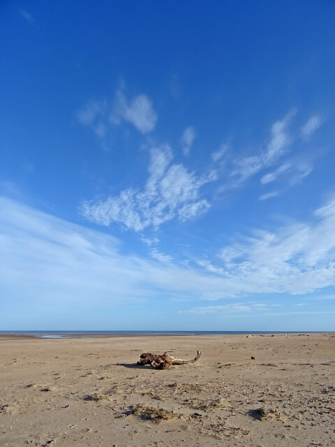
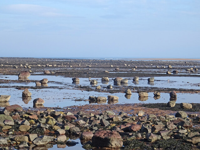
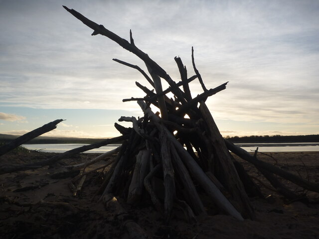
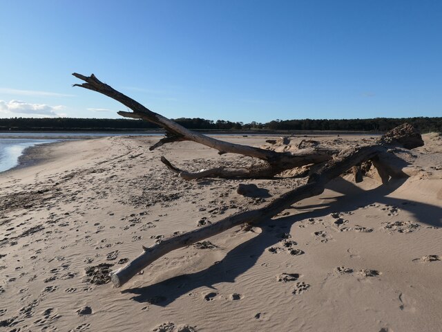
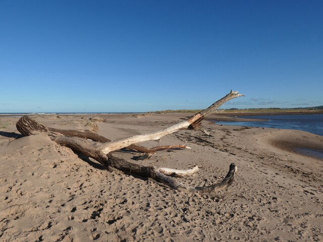
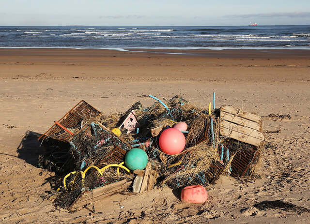
Hedderwick Hill Plantation Images

Images are sourced within 2km of 56.002874/-2.5687754 or Grid Reference NT6479. Thanks to Geograph Open Source API. All images are credited.

Coastal East Lothian : Thou shag-hair'd villain! Having disposed of the young fry of treachery, the murderous creature from the dark muddy depths of Heckies Hole crawls ashore and casts its menacing shadow upon Spike Island Sands.
Coastal East Lothian : Thou shag-hair'd villain!
Having disposed of the young fry of treachery, the murderous creature from the dark muddy depths of Heckies Hole crawls ashore and casts its menacing shadow upon Spike Island Sands.
Edge of the salt marsh, Little Binning Wood Tyne estuary.
Edge of the salt marsh, Little Binning Wood
Tyne estuary.
Salt marsh, Tyninghame
The tip of the sand bar at the north end of Belhaven Bay, Dunbar Photographer's grid reference confirmed by GPS.
The tip of the sand bar at the north end of Belhaven Bay, Dunbar
Photographer's grid reference confirmed by GPS.
Marker posts on the spit at the north end of Belhaven Bay, Dunbar
Tyne Sands Near the high water mark on Spike Island this large piece of tree trunk has been left by a very high tide.
Tyne Sands
Near the high water mark on Spike Island this large piece of tree trunk has been left by a very high tide.
Boulders at Low Tide Low tide on the East Lothian coast near Tyninghame has exposed hundreds of boulders of all sizes. You can just see Tyne Mouth in the distance where the waves are breaking.
Boulders at Low Tide
Low tide on the East Lothian coast near Tyninghame has exposed hundreds of boulders of all sizes. You can just see Tyne Mouth in the distance where the waves are breaking.
From Tyne to Tyne : Dragonet on Belhaven Sands, East Lothian As in St George and the Dragonet.........
From Tyne to Tyne : Dragonet on Belhaven Sands, East Lothian
As in St George and the Dragonet.........
Coastal East Lothian : Get Knotted!
Coastal East Lothian :  Aux Armes Et Caetera Serge Gainsbourg on Spike Island.
Coastal East Lothian : Aux Armes Et Caetera
Serge Gainsbourg on Spike Island.
Coastal East Lothian : Tilt With the totally tropical taste.
Coastal East Lothian : Tilt
With the totally tropical taste.
Coastal East Lothian : Skeleton coast, Spike Island sands
Coastal East Lothian : Legs akimbo, Spike Island sands
Lobster creel debris after Storm Babet This pile of washed-up storm debris is 700 metres northwest of this similar photo taken on 22nd October 2023 <a href="https://www.geograph.org.uk/photo/7634046">NT6479 : Coastal East Lothian : Storm debris, Belhaven beach</a>.
Lobster creel debris after Storm Babet
This pile of washed-up storm debris is 700 metres northwest of this similar photo taken on 22nd October 2023 NT6479 : Coastal East Lothian : Storm debris, Belhaven beach.
Low tide at Tyne Sands This view was taken on a calm overcast December morning.
Low tide at Tyne Sands
This view was taken on a calm overcast December morning.
Coastal East Lothian : Spike Island Sands Spike Island Sands is not an "official" name found on the map.

I use the name to distinguish the tidal sands that are a continuation northwards of the tip of Spike Island, from Tyne Sands; which are on the western side of the River Tyne at this location.
Coastal East Lothian : Spike Island Sands
Spike Island Sands is not an "official" name found on the map. I use the name to distinguish the tidal sands that are a continuation northwards of the tip of Spike Island, from Tyne Sands; which are on the western side of the River Tyne at this location.
Scenes in Scotia Deserta : Wadi Wachtel
Scenes in Scotia Deserta : Wadi D'jathinkovit-sofa Rubbish!

Apologies to Reyner Banham (and Eric and Ernie).
Scenes in Scotia Deserta : Wadi D'jathinkovit-sofa
Rubbish! Apologies to Reyner Banham (and Eric and Ernie).
Show me another place!

Hedderwick Hill Plantation is located at Grid Ref: NT6479 (Lat: 56.002874, Lng: -2.5687754)

Unitary Authority: East Lothian

Police Authority: The Lothians and Scottish Borders

What 3 Words

///closed.drummers.threaten. Near Dunbar, East Lothian

Nearby Locations

Hedderwick Hill Plantation

Related Wikis

John Muir Country Park

The John Muir Country Park is a country park near the village of West Barns, which is part of the town of Dunbar in East Lothian, Scotland. It is named...

West Barns

West Barns is a small village in East Lothian, Scotland. It lies 2 miles west of Dunbar and approximately 28 miles east of Edinburgh. It is close to John...

River Tyne, Scotland

The River Tyne is a river in Scotland. It rises in the Moorfoot Hills in Midlothian near Tynehead to the south of Edinburgh, at the junction of the B6458...

Belhaven Hill School

Belhaven Hill School is an independent, co-educational preparatory school for boarding and day pupils aged 5 to 13 in Dunbar, East Lothian, Scotland...

Belhaven Hospital

Belhaven Hospital is a community hospital in Beveridge Row, Dunbar, East Lothian. The hospital is managed by NHS Lothian. == History == The hospital was...

Belhaven, Scotland

Belhaven is a village in East Lothian, Scotland, and was originally the ancient port of Dunbar of which town the village has always been a part. Belhaven...

Tyninghame House

Tyninghame House is a mansion in East Lothian, Scotland. It is located by the mouth of the River Tyne, 2⁄3-mile (1.1 km) east of Tyninghame, and 3+3⁄4...

Dunbar United F.C.

Dunbar United Football Club is a Scottish football club from the town of Dunbar, East Lothian. The club operates on a semi-professional basis, playing...

Nearby Amenities

Located within 500m of 56.002874,-2.5687754
East Links Family Park
Operator: East Links Family Park Narrow Gauge Railway
Public Transport: station
Railway: station
Usage: leisure
Lat/Long: 55.9995089/-2.5640811
Railway: crossing
Lat/Long: 55.9995088/-2.5646253
Railway: crossing
Lat/Long: 55.9995097/-2.5636752
Bench
Lat/Long: 55.9999839/-2.563414
Power: pole
Lat/Long: 55.998796/-2.5708546
Power: pole
Lat/Long: 55.998867/-2.5696841
Power: pole
Lat/Long: 55.9989502/-2.5684894
Leisure: sports_centre
Sport: karting
Lat/Long: 55.9996499/-2.5642792
The data included in this document is from www.openstreetmap.org. The data is made available under ODbL.

Have you been to Hedderwick Hill Plantation?

Leave your review of Hedderwick Hill Plantation below (or comments, questions and feedback).