Strathella Wood

Wood, Forest in Angus

Scotland

Strathella Wood

Ruin near Bonnyton According to the map, in times past a castle stood on this site, but all that remains now is the ruins of a more modern cottage.
Ruin near Bonnyton Credit: Maigheach-gheal

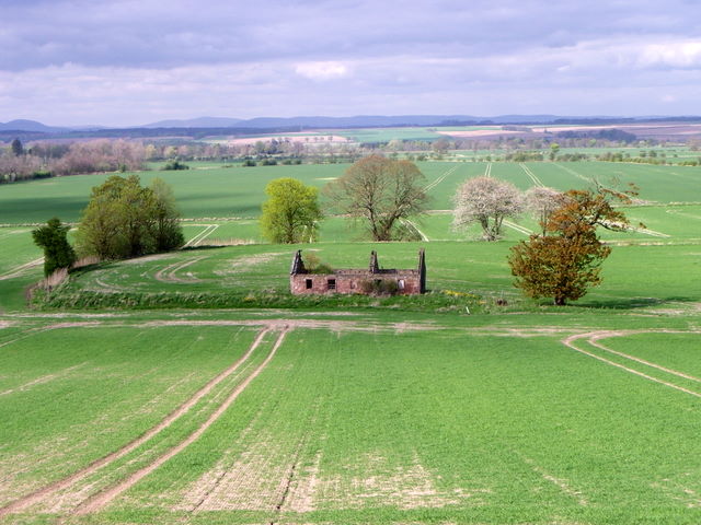
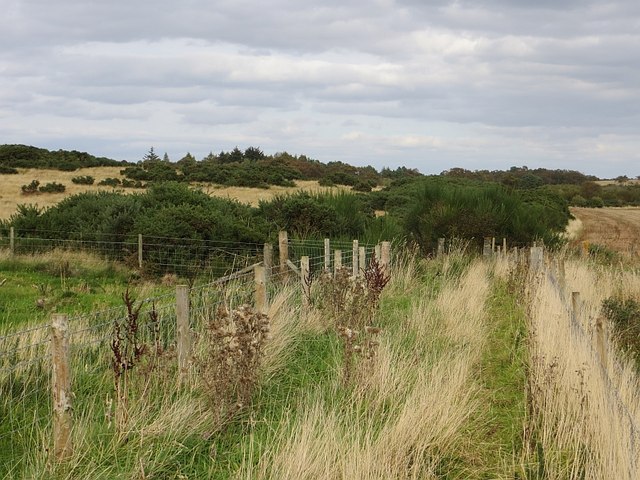
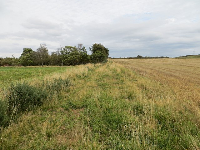
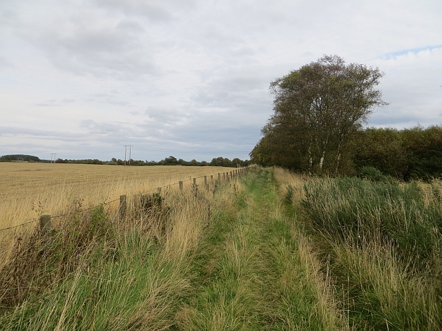
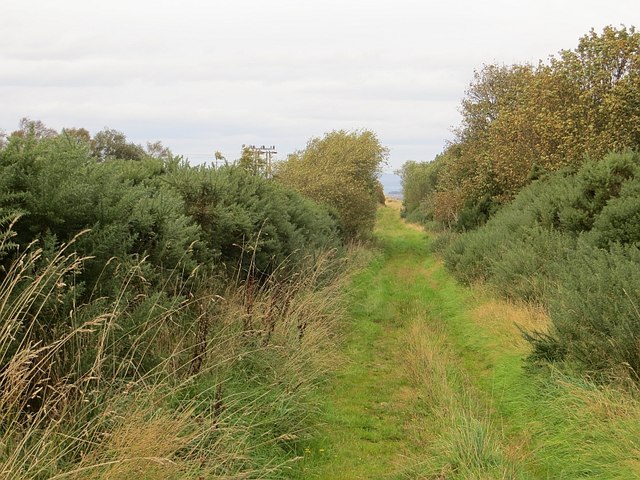
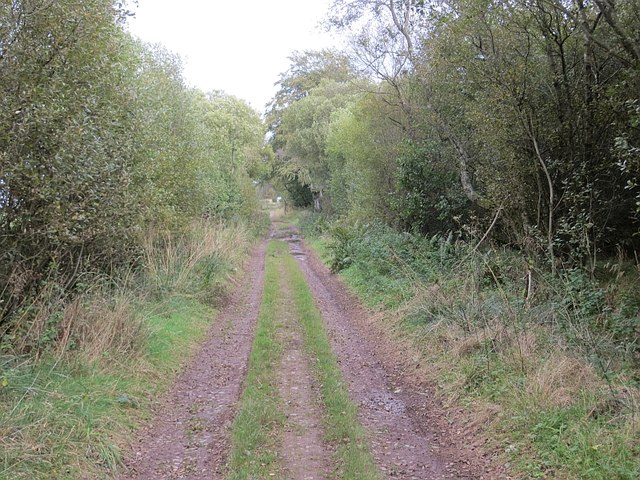
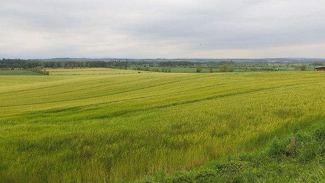
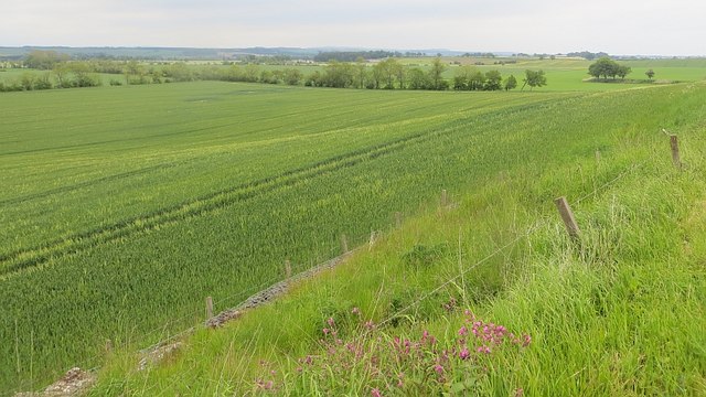
Strathella Wood is a picturesque forest located in the county of Angus, Scotland. It spans an area of approximately 200 acres and is situated on the southern slopes of the Sidlaws, offering breathtaking views of the surrounding landscape. The wood is primarily composed of native broadleaf species, such as oak, birch, ash, and beech, which create a diverse and vibrant ecosystem.

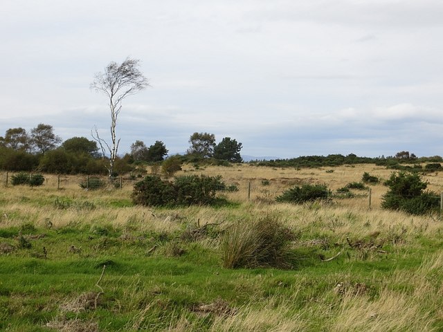
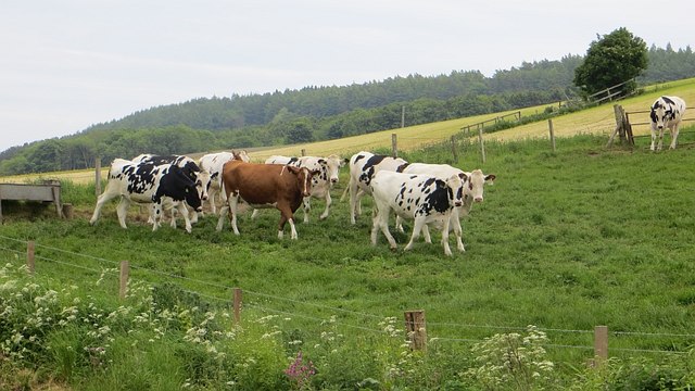
The woodland is renowned for its rich biodiversity, providing a habitat for a variety of flora and fauna. Wildflowers, including bluebells, primroses, and wood sorrel, carpet the forest floor during the spring months, creating a colorful spectacle. Birdwatchers frequent the area to catch glimpses of native species like woodpeckers, thrushes, and owls.

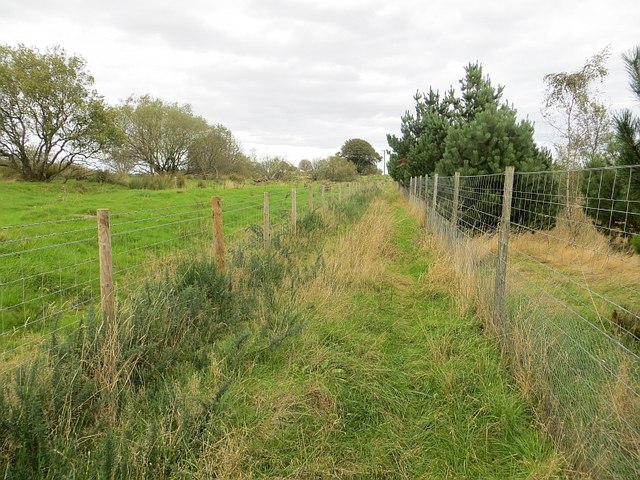
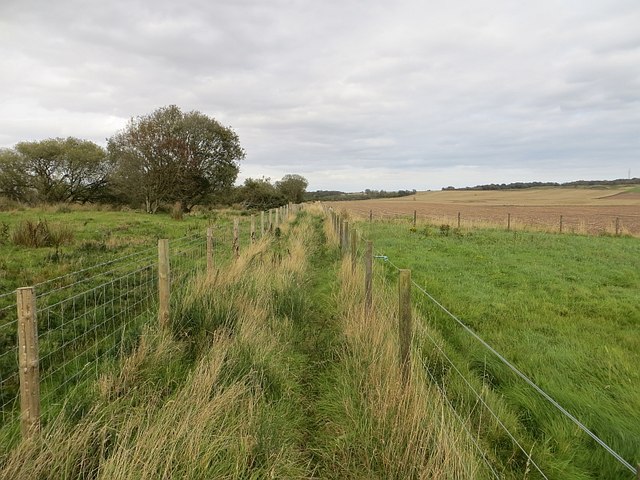
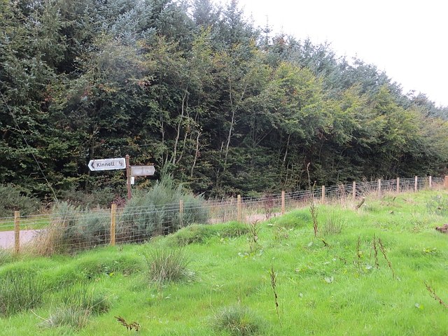
Strathella Wood is a popular destination for nature lovers and outdoor enthusiasts. It offers numerous walking trails, ranging from gentle strolls to more challenging hikes, allowing visitors to explore the beauty of the forest at their own pace. The well-maintained paths wind through the woodland, providing opportunities to admire the majestic old trees and spot wildlife along the way.

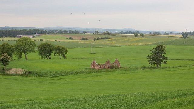
The wood also holds significant historical value. It is believed to have played a part in the local timber industry in the past, providing resources for construction and fuel. Today, it is managed by the local authorities, ensuring the preservation of the woodland's natural heritage for future generations to enjoy.

Overall, Strathella Wood is a captivating natural haven, offering a peaceful retreat from the hustle and bustle of everyday life. Its beauty, biodiversity, and historical significance make it a must-visit destination for anyone seeking a connection with nature in Angus, Scotland.

If you have any feedback on the listing, please let us know in the comments section below.

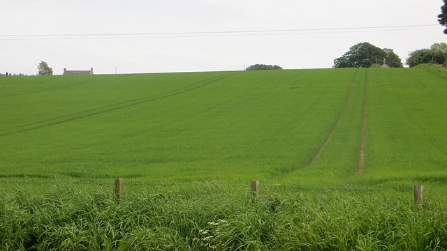
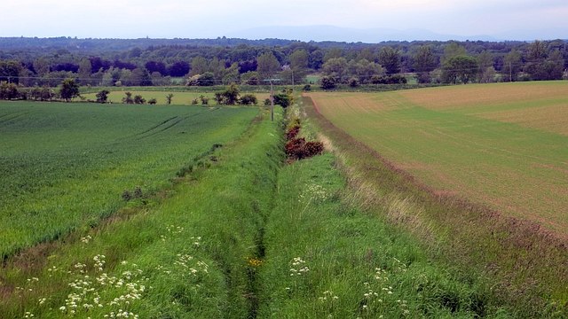
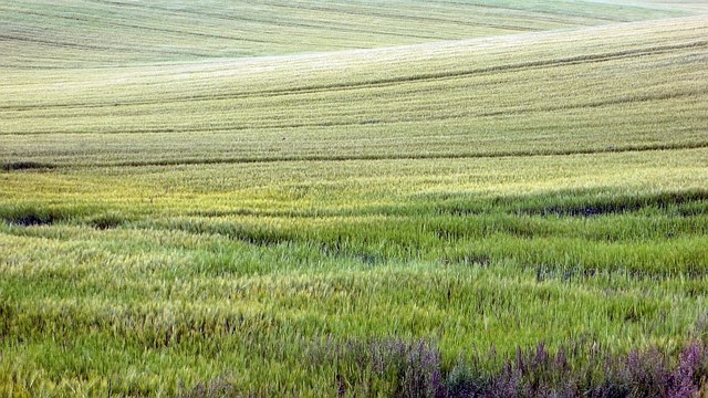
Strathella Wood Images

Images are sourced within 2km of 56.679082/-2.5822272 or Grid Reference NO6454. Thanks to Geograph Open Source API. All images are credited.

Ruin near Bonnyton According to the map, in times past a castle stood on this site, but all that remains now is the ruins of a more modern cottage.
Ruin near Bonnyton
According to the map, in times past a castle stood on this site, but all that remains now is the ruins of a more modern cottage.
Path, Pamphry The western end of the path over Rossie Muir is now fenced in and rough. There is a realistic chance that it will become blocked by whins.  The original track is visible on the left, behind the barbed wire.
Path, Pamphry
The western end of the path over Rossie Muir is now fenced in and rough. There is a realistic chance that it will become blocked by whins. The original track is visible on the left, behind the barbed wire.
Path, Pamphry The western end of the path is now fenced in. It is perfectly usable as long as traffic keeps the whins at bay.
Path, Pamphry
The western end of the path is now fenced in. It is perfectly usable as long as traffic keeps the whins at bay.
Rossie Moor Whins and rough grazing, adjacent to a huge barley field.
Rossie Moor
Whins and rough grazing, adjacent to a huge barley field.
Path, Rossie Muir The eastern end of the annoying fenced in bit of the path. The section of path to the east is rather shut in by broom and gorse. I escaped to the barley stubble on the right.
Path, Rossie Muir
The eastern end of the annoying fenced in bit of the path. The section of path to the east is rather shut in by broom and gorse. I escaped to the barley stubble on the right.
Path, Rossie Moor This section is very different to the path at the western end. No fences here, just a rough track beside a huge arable field.
Path, Rossie Moor
This section is very different to the path at the western end. No fences here, just a rough track beside a huge arable field.
Track, Rossie Moor The eastern end is a bit more defined than the western end of the path. The route is unobstructed at the moment, and you can get through on horseback. However the whins and broom mean business, and the path needs more traffic to keep it open.
Track, Rossie Moor
The eastern end is a bit more defined than the western end of the path. The route is unobstructed at the moment, and you can get through on horseback. However the whins and broom mean business, and the path needs more traffic to keep it open.
Track on Rossie Moor Bonnyton to Rossie track.
Track on Rossie Moor
Bonnyton to Rossie track.
Track, Rossie The road continues to Pamphry or Bonnyton from the public road end at Rossie.
Track, Rossie
The road continues to Pamphry or Bonnyton from the public road end at Rossie.
Woodland, Rossie There are mature beeches here, mixed in with conifers.
Woodland, Rossie
There are mature beeches here, mixed in with conifers.
Tramlines Arable land at Farnell, Angus.  Rain is coming and caught me at Montrose.
Tramlines
Arable land at Farnell, Angus. Rain is coming and caught me at Montrose.
Ditch, Carcary Any stock proof boundary has long gone, it's all arable here now. The Caledonian Railway's route to Aberdeen can be seen in the background.
Ditch, Carcary
Any stock proof boundary has long gone, it's all arable here now. The Caledonian Railway's route to Aberdeen can be seen in the background.
Barley, Carcary Land sloping down to the carse around Montrose Basin.
Barley, Carcary
Land sloping down to the carse around Montrose Basin.
Barley, Carcary Big field sloping down to carse land.
Barley, Carcary
Big field sloping down to carse land.
Cattle, Carcary Heifers closing in for disappointment. South of the road, the ground steepens and remains under grass, contrasting with the big arable fields to the north.
Cattle, Carcary
Heifers closing in for disappointment. South of the road, the ground steepens and remains under grass, contrasting with the big arable fields to the north.
Wheat, Carcary North of the road, the ground soon levels out and is mostly arable. Pale green shows the presence of barley, probably growing from last year's crop.

There is a row of gabions in the picture. The road had been repaired against subsidence in the recent past.
Wheat, Carcary
North of the road, the ground soon levels out and is mostly arable. Pale green shows the presence of barley, probably growing from last year's crop. There is a row of gabions in the picture. The road had been repaired against subsidence in the recent past.
Site of Bonnyton Castle Near the ruined cottage there was a moated castle. All trace of the masonry had disappeared by the mid 19th century.
Site of Bonnyton Castle
Near the ruined cottage there was a moated castle. All trace of the masonry had disappeared by the mid 19th century.
Signpost near Renmure I liked the signpost.
Signpost near Renmure
I liked the signpost.
Show me another place!

Strathella Wood is located at Grid Ref: NO6454 (Lat: 56.679082, Lng: -2.5822272)

Unitary Authority: Angus

Police Authority: Tayside

What 3 Words

///rail.flask.initiated. Near Friockheim, Angus

Nearby Locations

Strathella Wood

Related Wikis

Farnell Road railway station

Farnell Road railway station served the village of Farnell, Angus, Scotland from 1848 to 1956 on the Aberdeen Railway. == History == The station opened...

Farnell, Angus

Farnell is a village in Angus, Scotland. It lies 2 miles south of the River South Esk, between Brechin and Montrose, near Kinnaird Castle. == References ==

Kinnaird Castle, Brechin

Kinnaird Castle is a 15th-century castle near Brechin in Angus, Scotland. The castle has been home to the Carnegie family, the Earls of Southesk, for more...

Arbikie distillery

Arbikie Distilling Limited, trading as Arbikie Distillery, is a scotch whisky, vodka and gin distillery in Inverkeilor, Angus, Scotland. == History... ==

Nearby Amenities

Located within 500m of 56.679082,-2.5822272
Strathella
Place: isolated_dwelling
Lat/Long: 56.6767253/-2.5825606
Power: pole
Lat/Long: 56.6767208/-2.5819886
Power: pole
Lat/Long: 56.6761836/-2.5817713
Power: pole
Lat/Long: 56.6757256/-2.5815847
Power: pole
Lat/Long: 56.6751948/-2.5815138
Power: pole
Lat/Long: 56.6746031/-2.5814618
The data included in this document is from www.openstreetmap.org. The data is made available under ODbL.

Have you been to Strathella Wood?

Leave your review of Strathella Wood below (or comments, questions and feedback).