Fiddle Clump
Wood, Forest in Roxburghshire
Scotland
Fiddle Clump
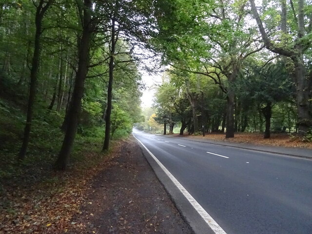
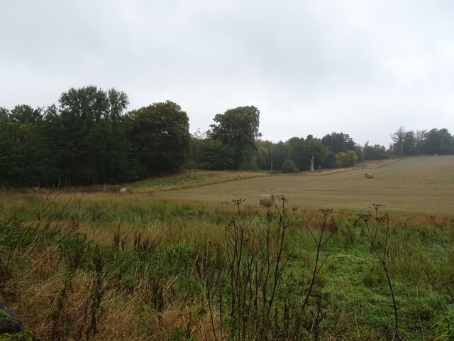
Fiddle Clump, located in Roxburghshire, is a picturesque wood nestled in the heart of the Scottish Borders. Spread across a sprawling area, this enchanting forest is a haven for nature lovers and outdoor enthusiasts.
The wood is predominantly composed of native species such as oak, birch, and pine, creating a diverse and vibrant ecosystem. The towering trees provide a dense canopy that filters sunlight, allowing for a cool and refreshing atmosphere even on hot summer days. The forest floor is adorned with a rich carpet of moss, ferns, and wildflowers, offering a visually stunning landscape throughout the year.
Fiddle Clump is home to a plethora of wildlife species, making it a paradise for birdwatchers and animal enthusiasts. Visitors can spot a variety of birds, including woodpeckers, owls, and songbirds, while lucky ones might even catch a glimpse of elusive creatures like red squirrels and roe deer. The wood's tranquil setting also attracts a diverse range of insects, adding to the overall biodiversity of the area.
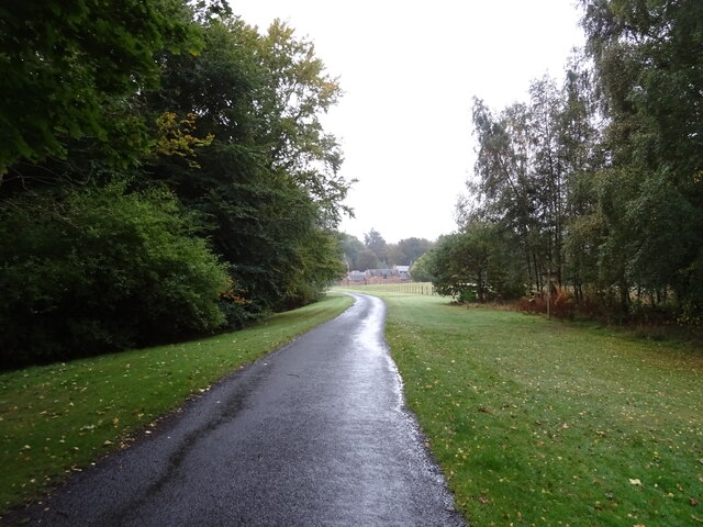
Nature trails wind their way through Fiddle Clump, allowing visitors to explore the wood's hidden gems at their own pace. These well-maintained paths offer panoramic views of the surrounding countryside and provide an opportunity to admire the wood's natural beauty up close. Along the way, informative signposts provide insights into the flora and fauna, enhancing the educational experience for visitors of all ages.
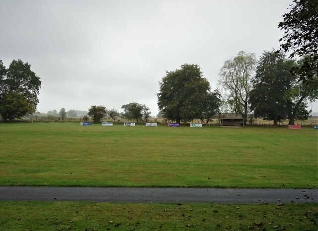
Fiddle Clump is not only a natural gem but also a cherished recreational spot for locals and tourists alike. Its idyllic setting offers a peaceful retreat, perfect for picnics, leisurely walks, and outdoor activities. With its lush greenery and serene ambiance, Fiddle Clump is an enchanting destination that captures the essence of Scotland's natural beauty.
If you have any feedback on the listing, please let us know in the comments section below.
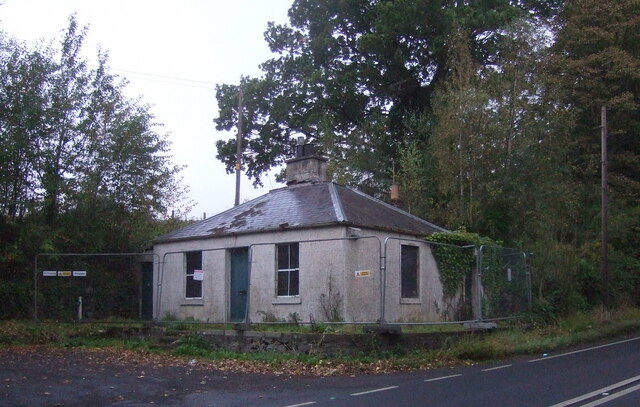
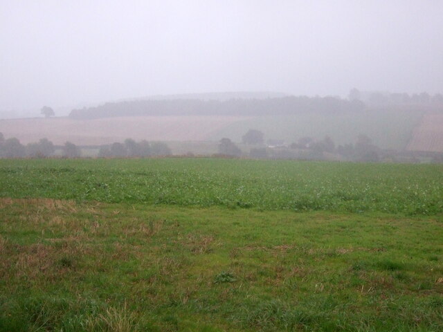
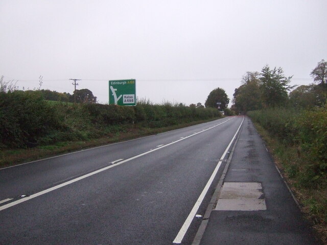
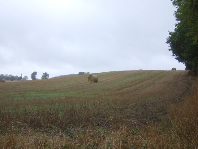
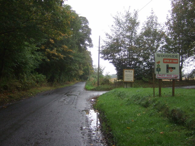
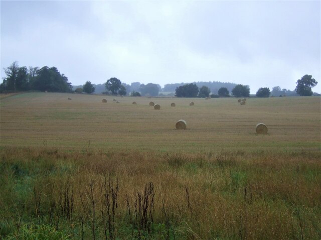
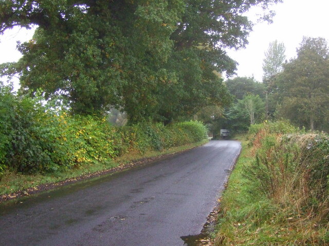
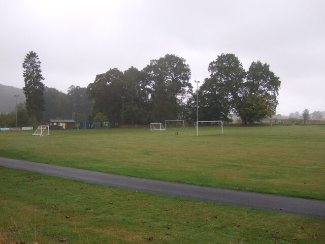
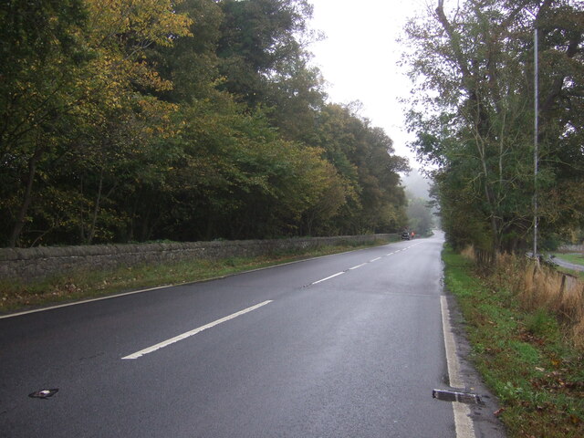
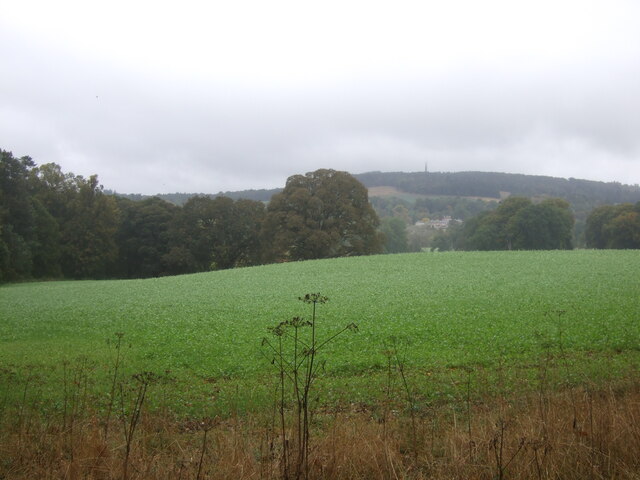
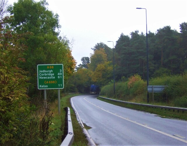
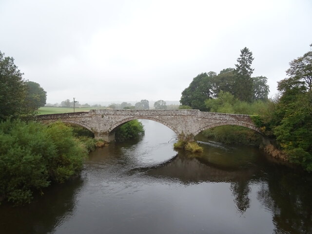
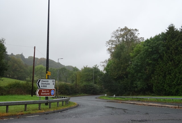
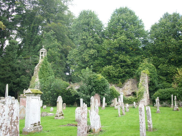
Fiddle Clump Images
Images are sourced within 2km of 55.501335/-2.573188 or Grid Reference NT6323. Thanks to Geograph Open Source API. All images are credited.
Fiddle Clump is located at Grid Ref: NT6323 (Lat: 55.501335, Lng: -2.573188)
Unitary Authority: The Scottish Borders
Police Authority: The Lothians and Scottish Borders
What 3 Words
///phones.finishers.smirks. Near Jedburgh, Scottish Borders
Nearby Locations
Related Wikis

Timpendean Tower
Timpendean Tower (tim-pen-deen) or Typenden Castle as it was once known, is a ruined 15th-century tower house near Lanton, around 1.5 miles (2.4 km) north...

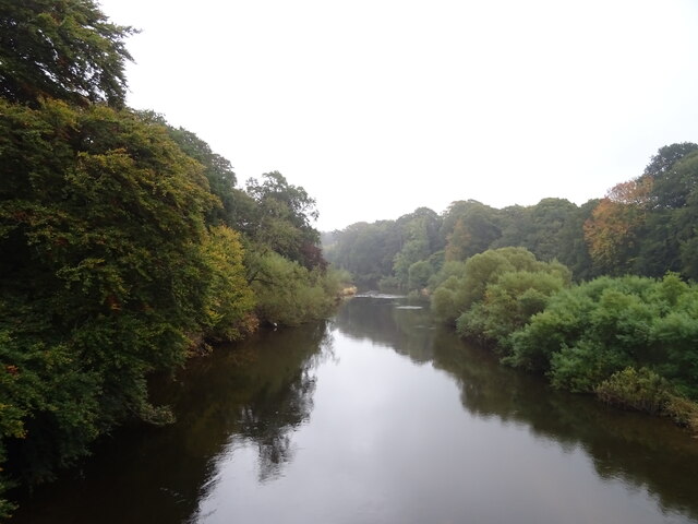
Ale Water
The Ale Water is a tributary of the River Teviot, in the Scottish Borders area of Scotland. It rises at Henwoodie Hill and flows through Alemoor Loch....

Bonjedward
Bonjedward (Scottish Gaelic: Bun Jedward) is a hamlet in the Scottish Borders area of Scotland, two miles north of Jedburgh where the Jed Water joins the...

Monteviot House
Monteviot House is the early 18th century home of the Marquess of Lothian, the politician better known as Michael Ancram. It is located on the River Teviot...

Ancrum
Ancrum (Scottish Gaelic: Alan Crom) is a village in the Borders area of Scotland, 5 km (3.1 mi) northwest of Jedburgh.The village — which currently has...

Jed Water
The Jed Water is a river and a tributary of the River Teviot in the Borders region of Scotland. In total the Jed Water is over 21.75 miles (35.00 km) long...

Jedfoot railway station
Jedfoot railway station served the town of Jedburgh, Scottish Borders, Scotland from 1856 to 1948 on the Jedburgh Railway. == History == The station opened...
Ancrum Old Parish Church
Ancrum Old Parish Church is situated just over half a mile north west of the village of Ancrum in the Scottish Borders area of Scotland, on the B4600 road...
Nearby Amenities
Located within 500m of 55.501335,-2.573188Have you been to Fiddle Clump?
Leave your review of Fiddle Clump below (or comments, questions and feedback).