Magungie Wood

Wood, Forest in Angus

Scotland

Magungie Wood

Fields near Letham, north of Arbroath
Fields near Letham, north of Arbroath Credit: Mike Pennington

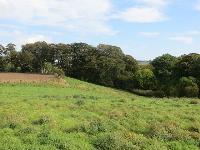
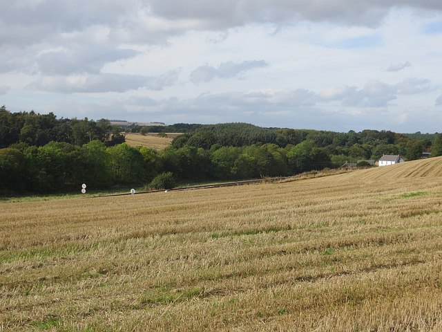
Magungie Wood, Angus, also known as Magungie Forest, is a picturesque woodland located in the county of Angus, Scotland. Covering an area of approximately 200 acres, this enchanting forest is renowned for its rich biodiversity and stunning natural beauty.

Magungie Wood is characterized by its dense canopies of mature trees, including oak, birch, and pine, which provide a haven for a diverse range of wildlife. The forest floor is carpeted with a variety of wildflowers, ferns, and mosses, creating a magical and serene atmosphere.

Nature enthusiasts flock to Magungie Wood to explore its extensive network of walking trails. These well-maintained paths offer visitors the opportunity to immerse themselves in the tranquil surroundings while observing the abundant wildlife. Commonly spotted animals in the forest include red deer, roe deer, squirrels, and a wide array of bird species.

The wood is particularly captivating during the autumn months when the foliage turns vibrant shades of red, orange, and gold. This spectacle attracts numerous photographers and artists who seek to capture the forest's ethereal beauty.

Magungie Wood is also of historical significance, with remnants of ancient settlements and archaeological sites scattered throughout the area. These traces provide a fascinating glimpse into the region's past and offer a unique blend of natural and cultural heritage.

Overall, Magungie Wood, Angus, is a must-visit destination for nature lovers and history enthusiasts alike. Its idyllic landscapes, diverse wildlife, and captivating history make it a truly enchanting place to explore.

If you have any feedback on the listing, please let us know in the comments section below.

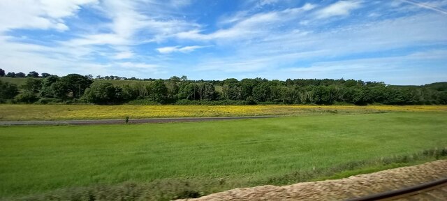
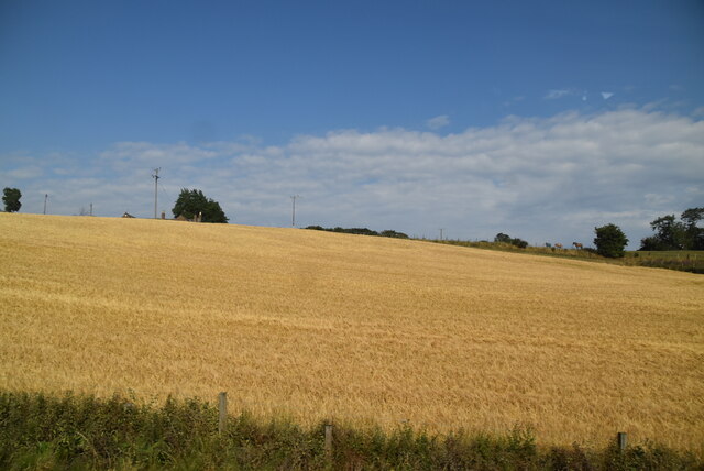
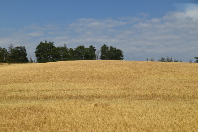
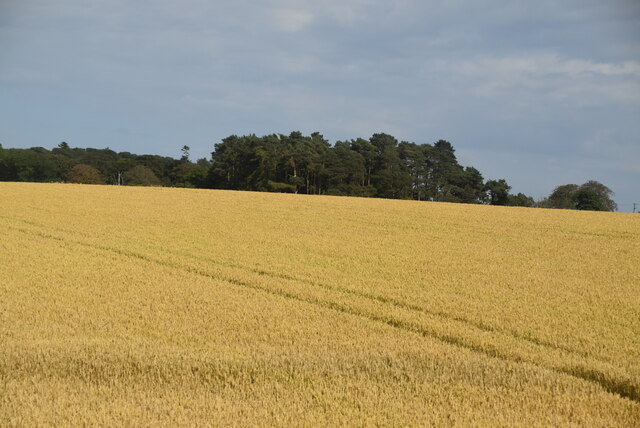
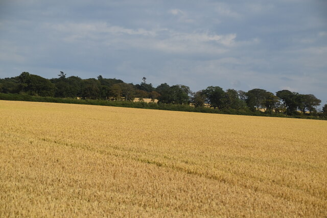
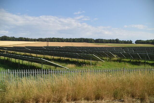
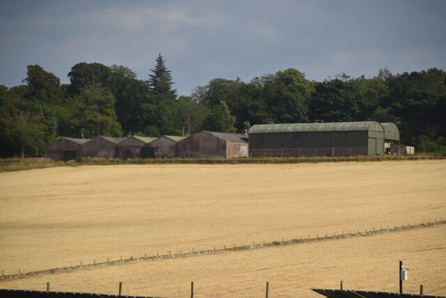
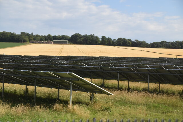
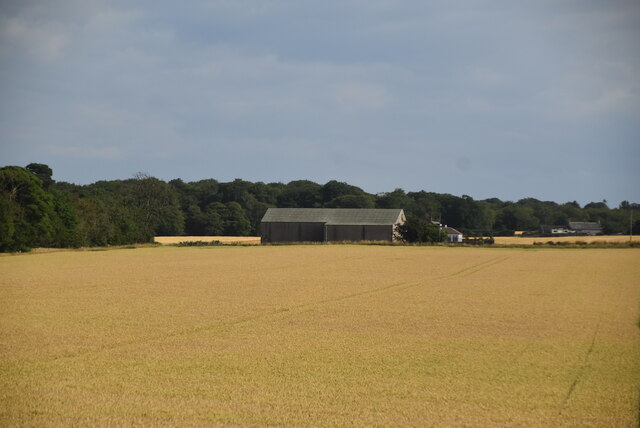
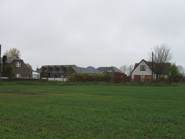
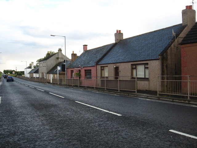
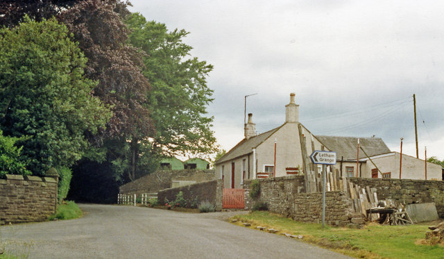
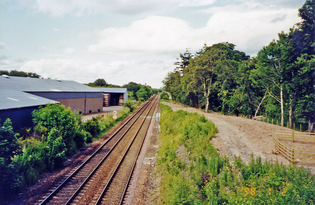
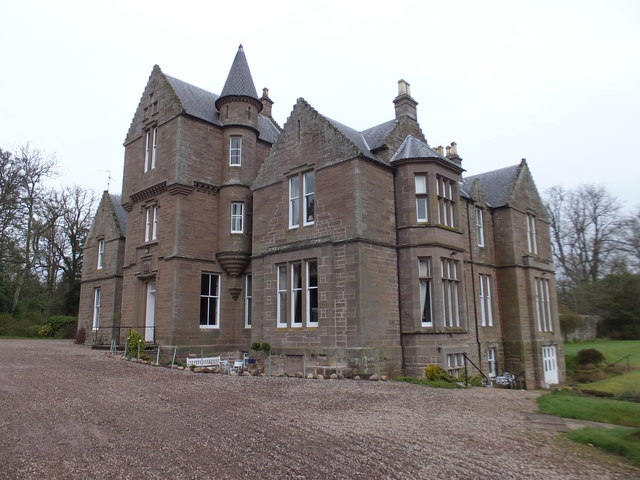
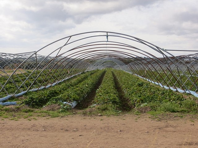
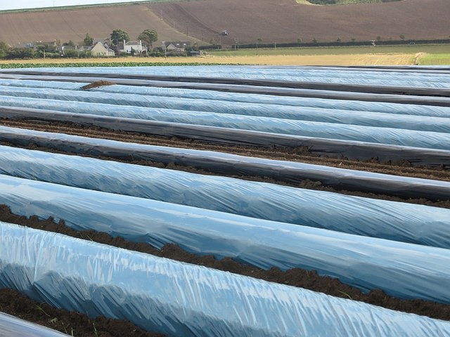
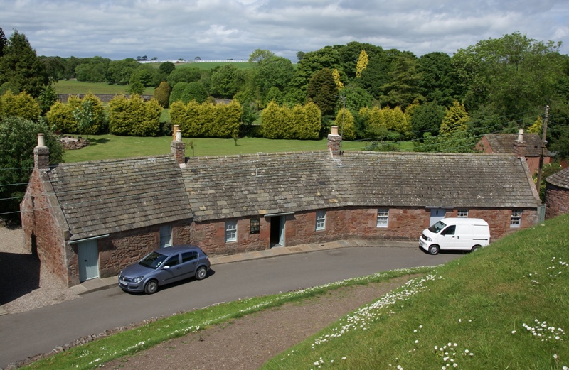
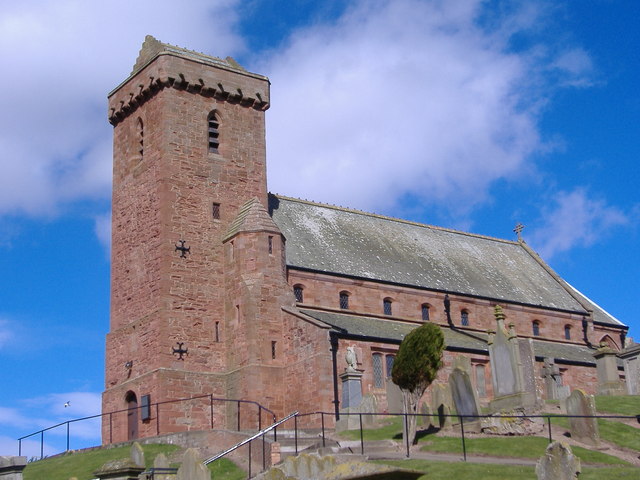
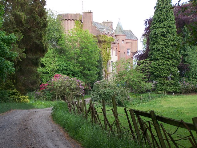
Magungie Wood Images

Images are sourced within 2km of 56.596336/-2.5962944 or Grid Reference NO6345. Thanks to Geograph Open Source API. All images are credited.

Fields near Letham, north of Arbroath
Wheat field
Wheat field
Wheat field
Wheat field
Wheat field
Wheat field
Wheat field
Wheat field
Solar Farm
Solar Farm
Mains of Parkhill
Mains of Parkhill
Solar Farm
Solar Farm
Wheat field
Wheat field
Group of houses north of airfield
Cottages and houses at Marywell in Aberdeenshire
Site of Colliston station, 1988 View SW at the bridge over the course of the ex-Caledonian line from Arbroath (left) to Guthrie (right), closed to passengers 5/12/55, to goods 25/1/65; the station had been on the left.
Site of Colliston station, 1988
View SW at the bridge over the course of the ex-Caledonian line from Arbroath (left) to Guthrie (right), closed to passengers 5/12/55, to goods 25/1/65; the station had been on the left.
Site of Letham Grange station View NW, towards Montrose and Aberdeen: ex-NBR Edinburgh/Glasgow - Dundee - Montrose - Aberdeen main line. The station, which probably existed primarily for Letham Grange estate and its golf courses, was closed to passenger from 22/9/30, to goods from 1/7/59; the Park is over to the right. (Cf. <a href="https://www.geograph.org.uk/photo/85910">NO6345 : Over tracks looking North East</a>).
Site of Letham Grange station
View NW, towards Montrose and Aberdeen: ex-NBR Edinburgh/Glasgow - Dundee - Montrose - Aberdeen main line. The station, which probably existed primarily for Letham Grange estate and its golf courses, was closed to passenger from 22/9/30, to goods from 1/7/59; the Park is over to the right. (Cf. NO6345 : Over tracks looking North East).
Kinblethmont House
Kinblethmont House
Field opposite Tarry Mill A grass field amongst the mainly arable surroundings of Arbroath.
Field opposite Tarry Mill
A grass field amongst the mainly arable surroundings of Arbroath.
Stubble near Nether Newbigging Stubble beside the Dundee to Aberdeen railway.
Stubble near Nether Newbigging
Stubble beside the Dundee to Aberdeen railway.
West Newbigging Strawberry fields with the polythene removed.
West Newbigging
Strawberry fields with the polythene removed.
Sky blue and chocolate Reminds me of traditional Victorian football colours (e.g. Bury). Polythene covered crops near Upper Newbigging.
Sky blue and chocolate
Reminds me of traditional Victorian football colours (e.g. Bury). Polythene covered crops near Upper Newbigging.
Show me another place!

Magungie Wood is located at Grid Ref: NO6345 (Lat: 56.596336, Lng: -2.5962944)

Unitary Authority: Angus

Police Authority: Tayside

What 3 Words

///drove.limits.crafts. Near Arbroath, Angus

Nearby Locations

Magungie Wood

Related Wikis

Nearby Amenities

Located within 500m of 56.596336,-2.5962944
Power: pole
Lat/Long: 56.596399/-2.5908702
Magungie House
Place: isolated_dwelling
Lat/Long: 56.5981616/-2.5949851
Firhills
Place: isolated_dwelling
Lat/Long: 56.5982432/-2.6016705
Power: pole
Lat/Long: 56.5977678/-2.5911058
Power: pole
Lat/Long: 56.5991232/-2.5913392
Power: pole
Lat/Long: 56.5950038/-2.5902027
Generator Method: photovoltaic
Generator Output Electricity: yes
Generator Source: solar
Generator Type: solar_photovoltaic_panel
Power: generator
Lat/Long: 56.6001317/-2.5984507
Generator Method: photovoltaic
Generator Output Electricity: yes
Generator Source: solar
Generator Type: solar_photovoltaic_panel
Power: generator
Lat/Long: 56.5998434/-2.5983905
Generator Method: photovoltaic
Generator Output Electricity: yes
Generator Source: solar
Generator Type: solar_photovoltaic_panel
Power: generator
Lat/Long: 56.6004448/-2.598771
Generator Method: photovoltaic
Generator Output Electricity: yes
Generator Source: solar
Generator Type: solar_photovoltaic_panel
Power: generator
Lat/Long: 56.599745/-2.598924
Power: pole
Lat/Long: 56.598112/-2.589458
Power: pole
Lat/Long: 56.5981096/-2.5903827
Power: pole
Lat/Long: 56.5981108/-2.5913268
Power: pole
Lat/Long: 56.5981096/-2.5923814
Power: pole
Lat/Long: 56.5980965/-2.593566
Power: pole
Lat/Long: 56.5986842/-2.594051
Power: pole
Lat/Long: 56.5989656/-2.5948566
Power: pole
Lat/Long: 56.5997714/-2.5961494
Power: pole
Lat/Long: 56.6000516/-2.5964916
Power: pole
Lat/Long: 56.6005677/-2.5971997
Power: pole
Lat/Long: 56.5920328/-2.5940987
Power: pole
Lat/Long: 56.5981352/-2.6033675
Power: pole
Lat/Long: 56.5984993/-2.6026681
Power: pole
Lat/Long: 56.5984685/-2.6016648
Power: pole
Lat/Long: 56.5984427/-2.6009184
Power: pole
Lat/Long: 56.5984156/-2.6000112
Power: pole
Lat/Long: 56.5987724/-2.6006145
Power: pole
Lat/Long: 56.5990701/-2.5995889
Power: pole
Lat/Long: 56.5993776/-2.5985498
Power: pole
Lat/Long: 56.5996667/-2.5975621
Letham Grange
Historic Railway: station
Railway: site
Wikidata: Q56276443
Wikipedia: en:Letham Grange railway station
Lat/Long: 56.5989849/-2.5967154
The data included in this document is from www.openstreetmap.org. The data is made available under ODbL.

Have you been to Magungie Wood?

Leave your review of Magungie Wood below (or comments, questions and feedback).