Dam Belt

Wood, Forest in Aberdeenshire

Scotland

Dam Belt

Harvested field near Moss-side Harvested field viewed north-eastwards from the road at Moss-side.
Harvested field near Moss-side Credit: Scott Cormie

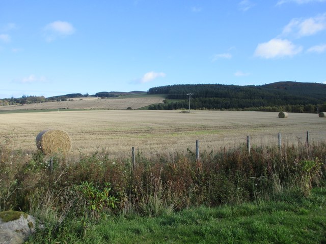
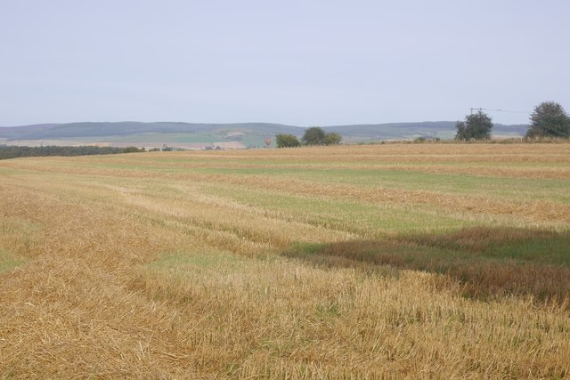
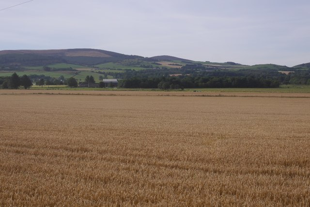
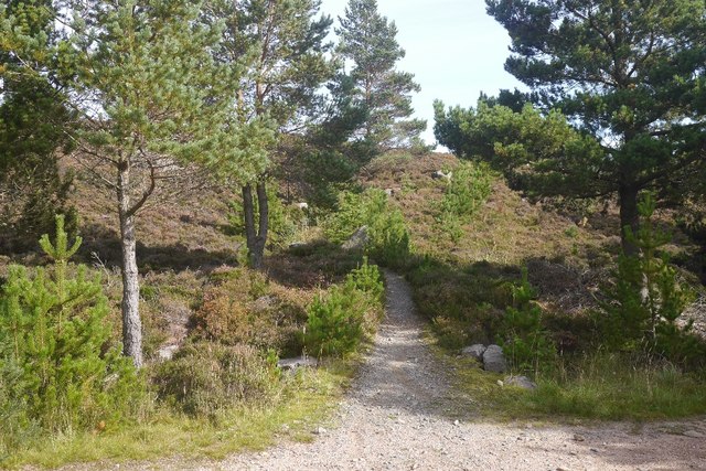
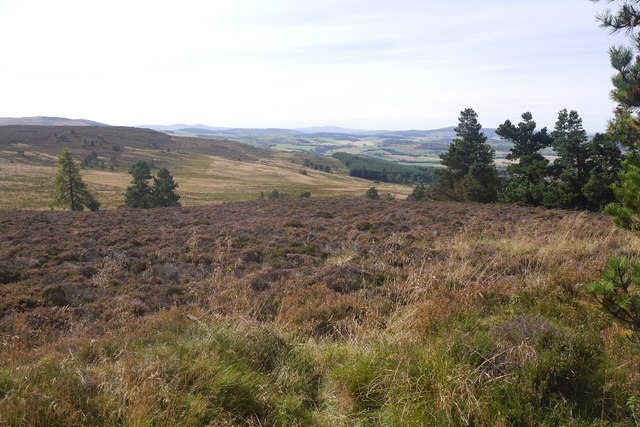
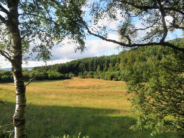
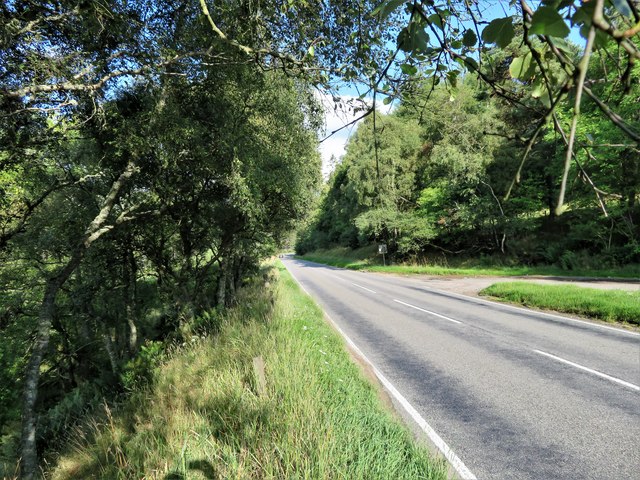
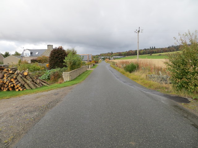
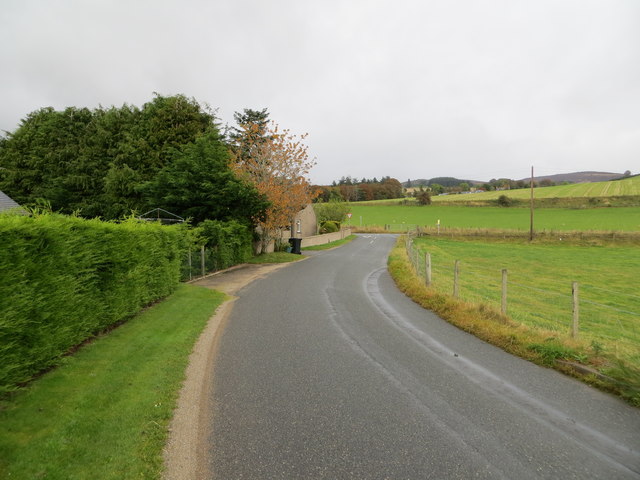
Dam Belt is a picturesque wood located in Aberdeenshire, Scotland. Situated near the village of Tarland, it is renowned for its scenic beauty and tranquil atmosphere. The wood covers a vast area and is densely populated with a diverse range of tree species, making it a haven for nature enthusiasts and hikers.

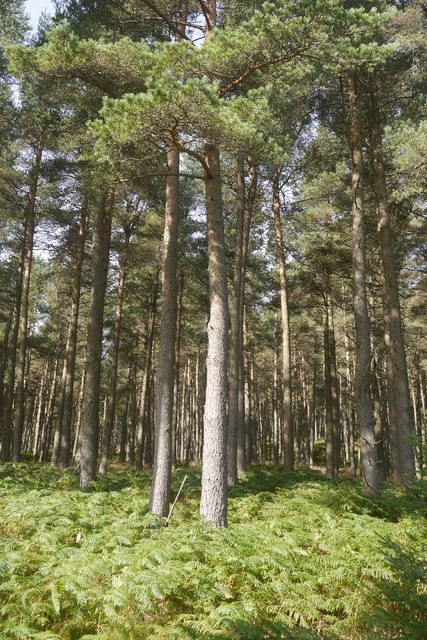
The forest is predominantly composed of native tree species such as oak, birch, and Scots pine, which provide a lush and verdant backdrop throughout the year. The vibrant foliage creates a stunning display of colors during autumn, attracting visitors from far and wide. The wood is also home to a variety of wildlife, including deer, squirrels, and numerous bird species, adding to its natural charm.

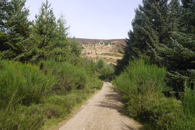
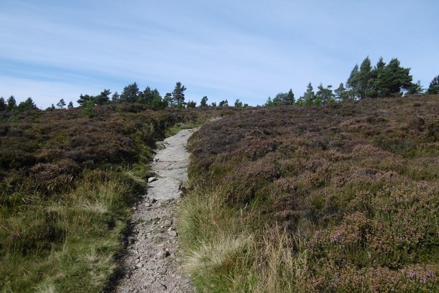
Dam Belt offers a network of well-maintained trails, allowing visitors to explore the wood and enjoy its natural wonders. The paths wind their way through the forest, leading to beautiful viewpoints, babbling streams, and secluded picnic spots. The wood is also intersected by the Tarland Burn, a small river that adds to the tranquility of the area.

Aside from its natural beauty, Dam Belt also holds historical significance. The woods were once part of the ancient Caledonian Forest, which covered most of Scotland. The remnants of this ancient woodland can still be seen today, providing a glimpse into the country's rich past.

Overall, Dam Belt in Aberdeenshire is a captivating wood that offers a peaceful escape from the hustle and bustle of everyday life. Its stunning landscapes, diverse wildlife, and historical significance make it a must-visit destination for nature lovers and history enthusiasts alike.

If you have any feedback on the listing, please let us know in the comments section below.

Dam Belt Images

Images are sourced within 2km of 57.224576/-2.6161688 or Grid Reference NJ6215. Thanks to Geograph Open Source API. All images are credited.

Harvested field near Moss-side Harvested field viewed north-eastwards from the road at Moss-side.
Harvested field near Moss-side
Harvested field viewed north-eastwards from the road at Moss-side.
Cottages at Torries Cottages by the north side of the narrow minor road at Torries.
Cottages at Torries
Cottages by the north side of the narrow minor road at Torries.
Cattie farmhouse, Aberdeenshire
Nether Edindurno Farm buildings by A944 near Whitehouse.
Nether Edindurno
Farm buildings by A944 near Whitehouse.
Stubble, Whitehouse Straw awaits baling with a hot air balloon landing near Alford.
Stubble, Whitehouse
Straw awaits baling with a hot air balloon landing near Alford.
Barley, Whitehouse View across arable land towards Benquhallie.
Barley, Whitehouse
View across arable land towards Benquhallie.
Scots pines, Pitfichie Forest The eastern slopes of Green Hill.
Scots pines, Pitfichie Forest
The eastern slopes of Green Hill.
Logging road, Pitfichie Forest Climbing to the col south of Cairn William. The view down the hill is towards a dun slope where there has been some clear felling in the past.
Logging road, Pitfichie Forest
Climbing to the col south of Cairn William. The view down the hill is towards a dun slope where there has been some clear felling in the past.
Granite Top Trail The mountain bike  route over Cairn William.  Cairn William is a significant hill and the path also gives a good walk to the summit.  It is a steady climb, so there should be no problems getting in the way of fast moving bikes.
Granite Top Trail
The mountain bike route over Cairn William. Cairn William is a significant hill and the path also gives a good walk to the summit. It is a steady climb, so there should be no problems getting in the way of fast moving bikes.
View over King's Moss Moorland above Pitfichie Forest.
View over King's Moss
Moorland above Pitfichie Forest.
Path, Cairn William The gently climbing, but technical mountain bike path route over Cairn William. It is also walkable and a good route to the summit with fine views.
Path, Cairn William
The gently climbing, but technical mountain bike path route over Cairn William. It is also walkable and a good route to the summit with fine views.
Entry to Tough from east
Glenend Field Grassland by Glenend between Bouglouster and Tonley
Glenend Field
Grassland by Glenend between Bouglouster and Tonley
A944 East The A944 looking east nu Tonley Wood.
A944 East
The A944 looking east nu Tonley Wood.
Minor road at Blackpool Looking north-eastward.
Minor road at Blackpool
Looking north-eastward.
Minor road approaching the A944 near to Nether Edindurno Looking north-eastward.
Minor road approaching the A944 near to Nether Edindurno
Looking north-eastward.
Minor road at Torries Looking south-eastward.
Minor road at Torries
Looking south-eastward.
Straw Bales The bales cast a long shadow in morning sunshine. In the distance are the Correen Hills.
Straw Bales
The bales cast a long shadow in morning sunshine. In the distance are the Correen Hills.
Show me another place!

Dam Belt is located at Grid Ref: NJ6215 (Lat: 57.224576, Lng: -2.6161688)

Unitary Authority: Aberdeenshire

Police Authority: North East

What 3 Words

///exam.polite.statement. Near Alford, Aberdeenshire

Nearby Locations

Pitoothies Belt Dam Belt

Related Wikis

Whitehouse railway station (Scotland)

Whitehouse railway station was a station in Whitehouse, Aberdeenshire. It opened with the along with the rest of the Alford Valley Railway line from Kintore...
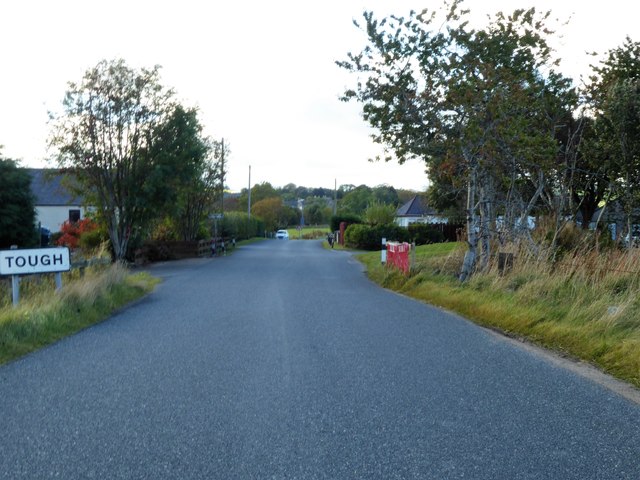
Kirkton of Tough

Kirkton of Tough, usually shortened to Tough ( TUUKH), is a settlement in the Marr area of Aberdeenshire, Scotland at grid reference NJ615129. It is about...

Tillyfourie railway station

Tillyfourie railway station was a railway station serving Tillyfourie, Aberdeenshire, Scotland. The station opened on 2 June 1860 on the Alford Valley...

Castle Forbes

Castle Forbes is a 19th-century country house in the Scottish baronial architecture style near Alford in Aberdeenshire, Scotland. The 6,000-acre (2,400...

Nearby Amenities

Located within 500m of 57.224576,-2.6161688
Power: pole
Lat/Long: 57.2205271/-2.6155333
Power: pole
Lat/Long: 57.2212568/-2.6156935
Power: pole
Lat/Long: 57.2219784/-2.6159349
Power: pole
Lat/Long: 57.222722/-2.616187
Power: pole
Lat/Long: 57.2232875/-2.6163728
Power: pole
Lat/Long: 57.2238495/-2.6165672
Power: pole
Lat/Long: 57.2244057/-2.6167487
Power: pole
Lat/Long: 57.2250706/-2.6162617
Power: pole
Lat/Long: 57.2257586/-2.6163002
Power: pole
Lat/Long: 57.2264431/-2.6163322
Power: pole
Lat/Long: 57.2271254/-2.6163664
Power: pole
Lat/Long: 57.2278538/-2.6164155
Power: pole
Lat/Long: 57.2284805/-2.6163429
Power: pole
Lat/Long: 57.2225786/-2.6170563
Power: pole
Lat/Long: 57.2224248/-2.6179684
Power: pole
Lat/Long: 57.2222756/-2.6188955
Power: pole
Lat/Long: 57.2261541/-2.6176395
Power: pole
Lat/Long: 57.2260812/-2.6189062
The data included in this document is from www.openstreetmap.org. The data is made available under ODbL.

Have you been to Dam Belt?

Leave your review of Dam Belt below (or comments, questions and feedback).