Maindrain Plantation
Wood, Forest in Kincardineshire
Scotland
Maindrain Plantation
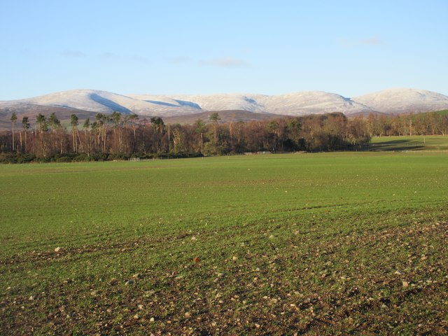
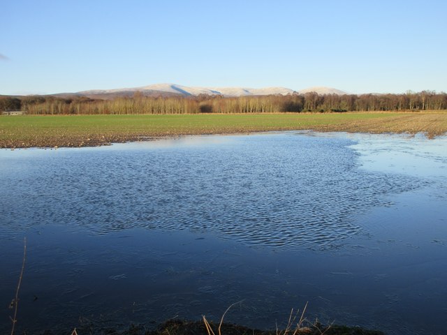
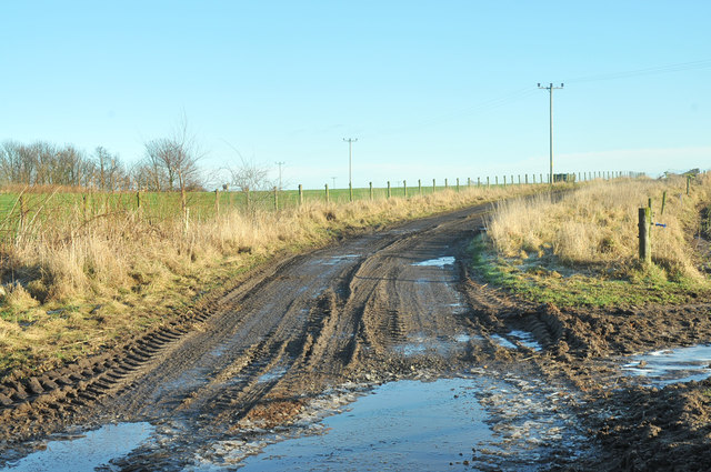
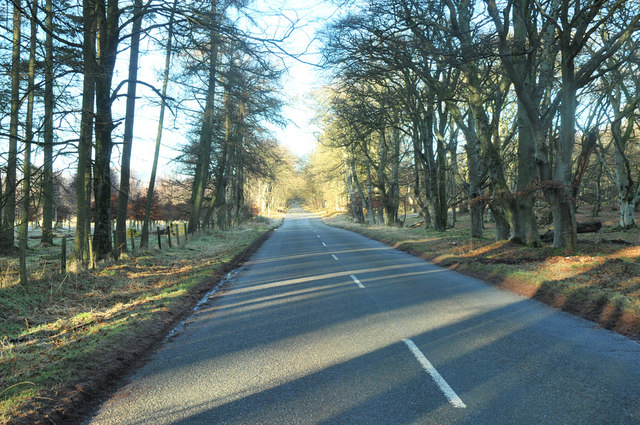
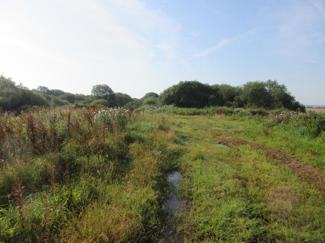
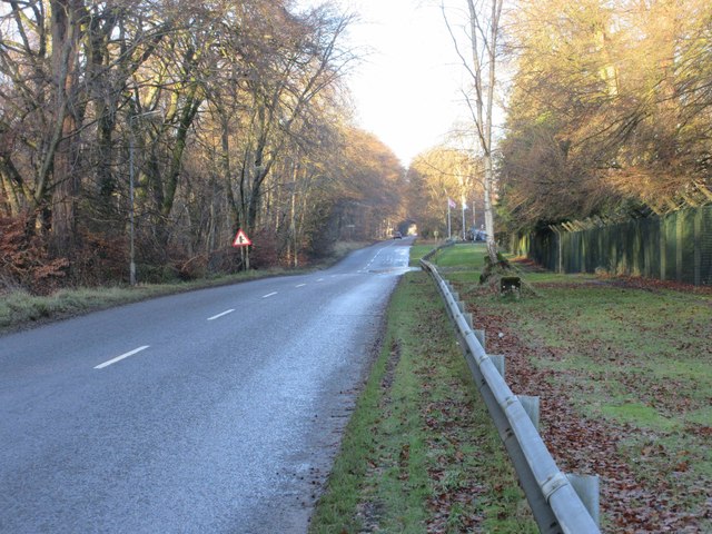
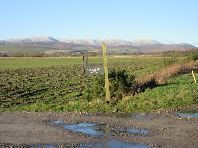
Maindrain Plantation is a sprawling woodland located in Kincardineshire, Scotland. This vast forest covers an area of approximately 500 acres and is known for its scenic beauty and rich biodiversity. The plantation is situated on the outskirts of the village of Maindrain, offering a peaceful and tranquil environment for visitors and locals alike.
The woodland is predominantly composed of native Scottish tree species, including oak, birch, and pine. The towering trees create a dense canopy, providing shade and shelter for a diverse range of plant and animal life. The forest floor is adorned with a vibrant carpet of wildflowers, mosses, and ferns, adding to the enchanting atmosphere of the plantation.
Maindrain Plantation is also home to a variety of wildlife. Visitors may catch glimpses of red squirrels scampering among the treetops or spot roe deer gracefully moving through the undergrowth. Birdwatchers will delight in the numerous species that call the woodland their home, such as woodpeckers, owls, and various songbirds.
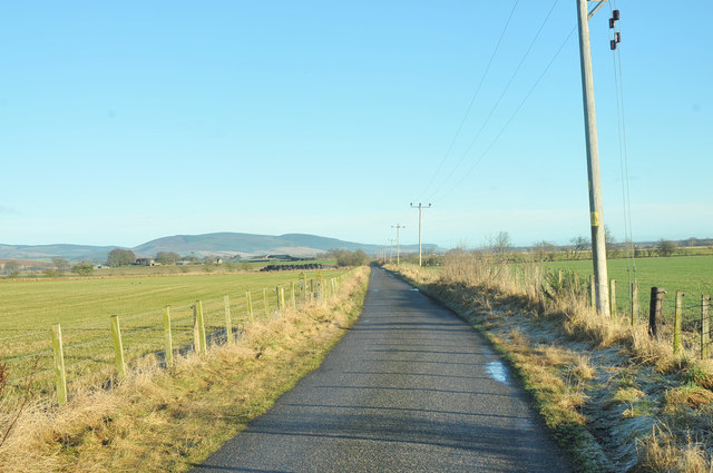
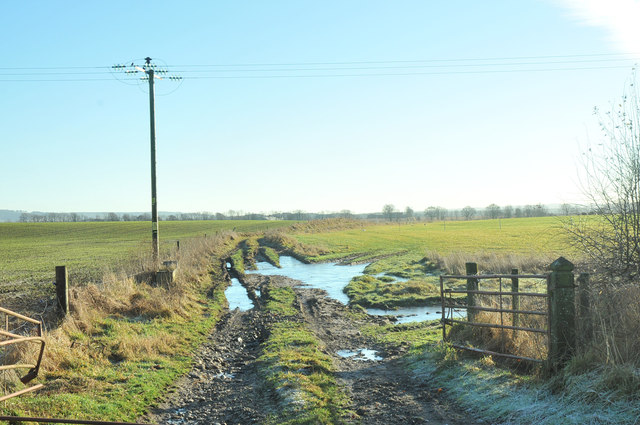
The plantation offers a network of well-maintained walking trails, allowing visitors to explore its natural wonders at their own pace. Nature enthusiasts can immerse themselves in the beauty of their surroundings, taking in the sights, sounds, and scents of the woodland. The trails are also ideal for joggers and dog walkers, providing a peaceful and rejuvenating outdoor experience.
Maindrain Plantation is a gem in Kincardineshire, offering a haven of tranquility and natural beauty. Whether one seeks a leisurely stroll, a wildlife encounter, or a peaceful picnic spot, this enchanting woodland is sure to captivate all who venture within its bounds.
If you have any feedback on the listing, please let us know in the comments section below.
Maindrain Plantation Images
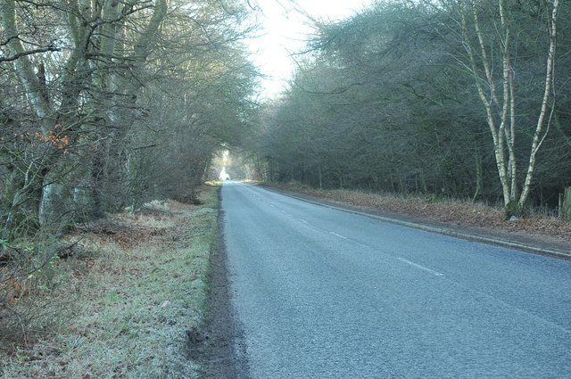
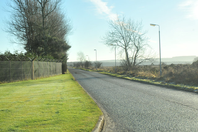
Images are sourced within 2km of 56.81771/-2.6141085 or Grid Reference NO6269. Thanks to Geograph Open Source API. All images are credited.


Maindrain Plantation is located at Grid Ref: NO6269 (Lat: 56.81771, Lng: -2.6141085)
Unitary Authority: Aberdeenshire
Police Authority: North East
What 3 Words
///intruded.ordeals.album. Near Laurencekirk, Aberdeenshire
Nearby Locations
Related Wikis

Edzell Woods
Edzell Woods is a village in the Kincardine and Mearns area of Aberdeenshire, Scotland. It is 4 miles (6.4 km) from Edzell by road, but only one mile...

RAF Edzell
Royal Air Force Edzell or more simply RAF Edzell is a former Royal Air Force satellite station located in Aberdeenshire, one mile east of Edzell in Angus...

Inglis Memorial Hall
The Inglis Memorial Hall is a municipal structure in the High Street in Edzell, Angus, Scotland, which for much of the 20th century served as Edzell Parish...

Edzell
Edzell (; Scots: Aigle; Scottish Gaelic: Eigill) is a village in Angus, Scotland. It is 5 miles (8 km) north of Brechin, by the River North Esk. Edzell...

Edzell railway station
Edzell railway station served the village of Edzell, Angus, Scotland from 1896 to 1964 on the Brechin and Edzell District Railway. == History == The station...
Inglismaldie Castle
Inglismaldie Castle is a castle in the parish of Marykirk and the county of Kincardineshire, Scotland. == History == The Tower House was built in 1636...

Luthermuir
Luthermuir is a village in Aberdeenshire, Scotland, UK. Historically the village was home to weavers and labourers. == Facilities == Luthermuir is home...

Edzell Castle
Edzell Castle is a ruined 16th-century castle, with an early-17th-century walled garden. It is located close to Edzell, and is around 5 miles (8 km) north...
Nearby Amenities
Located within 500m of 56.81771,-2.6141085Have you been to Maindrain Plantation?
Leave your review of Maindrain Plantation below (or comments, questions and feedback).